Today is a marvellous day and I’m very lucky! I’m going up to the Ōkaka hut to pass the night but before I must walk 18 km. And before that I must cycle 22km until the car park. During the high season there is a shuttle service but not now. That’s OK :-)
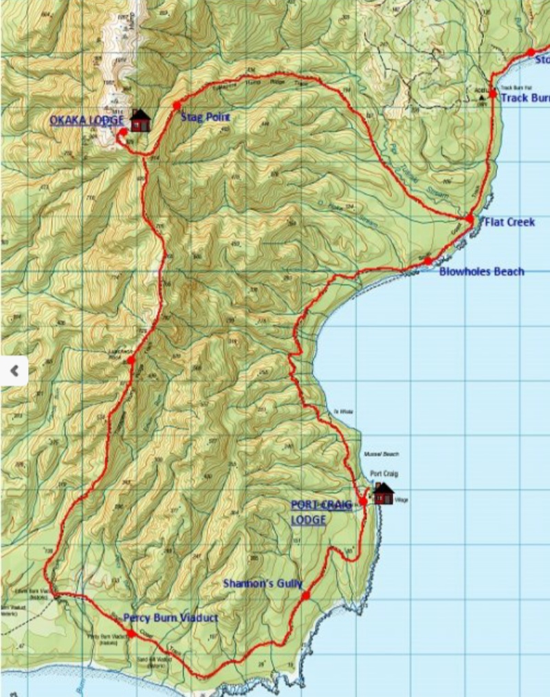
Map.
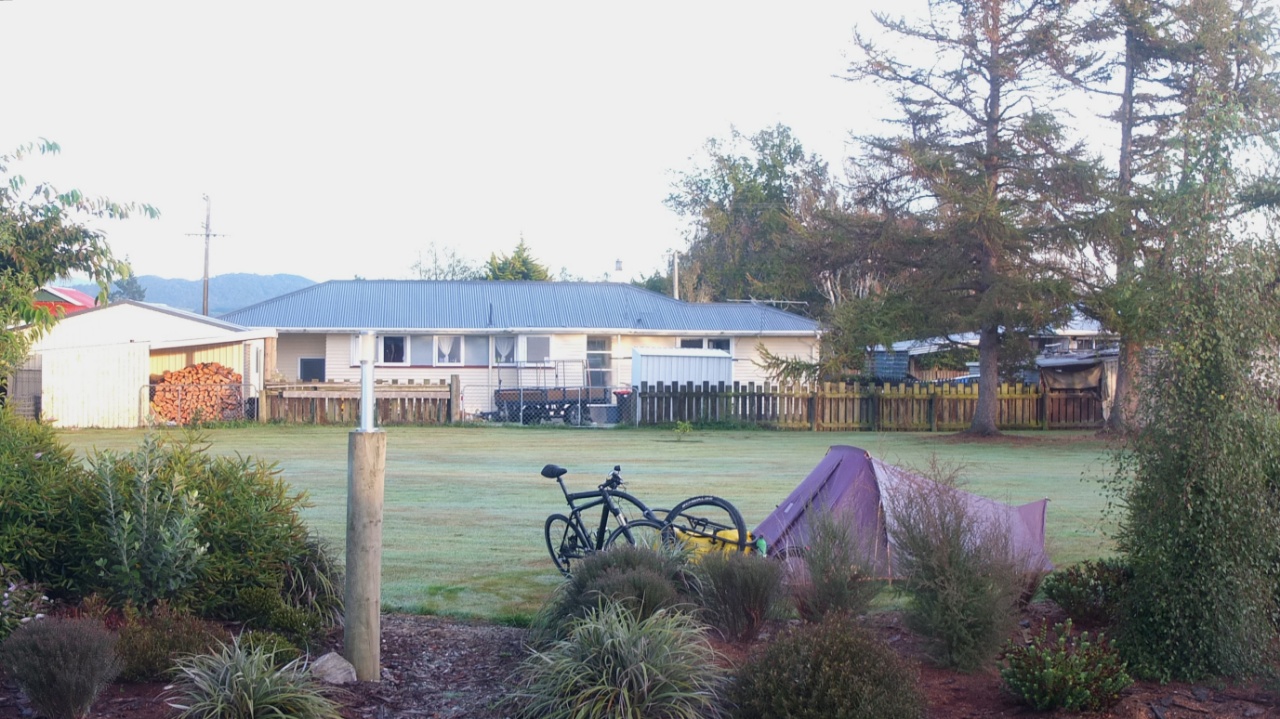
It’s 8am and I’m still alone on the lawn… Cashier are allowed to use in this camping and it’s a good thing for me. I’ll keep the minimum with me and put the rest in safety here during my trip.

Let’s go! It’s wet this morning, brrr!
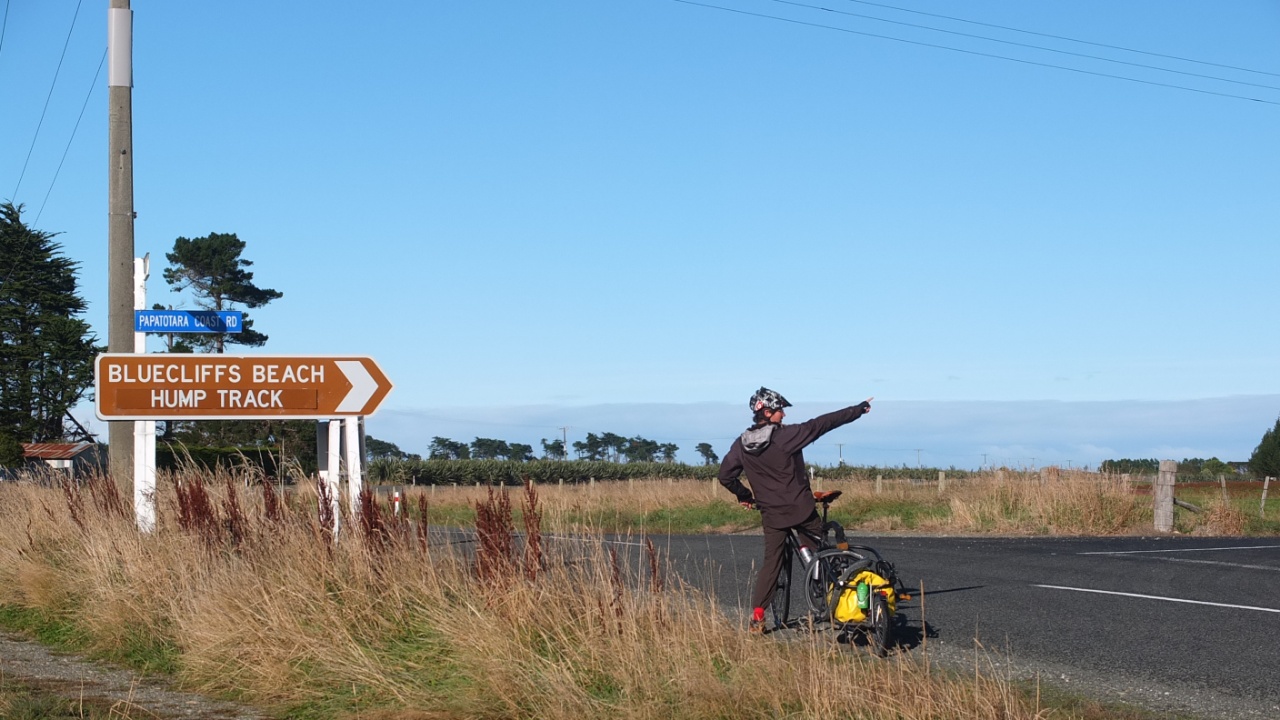
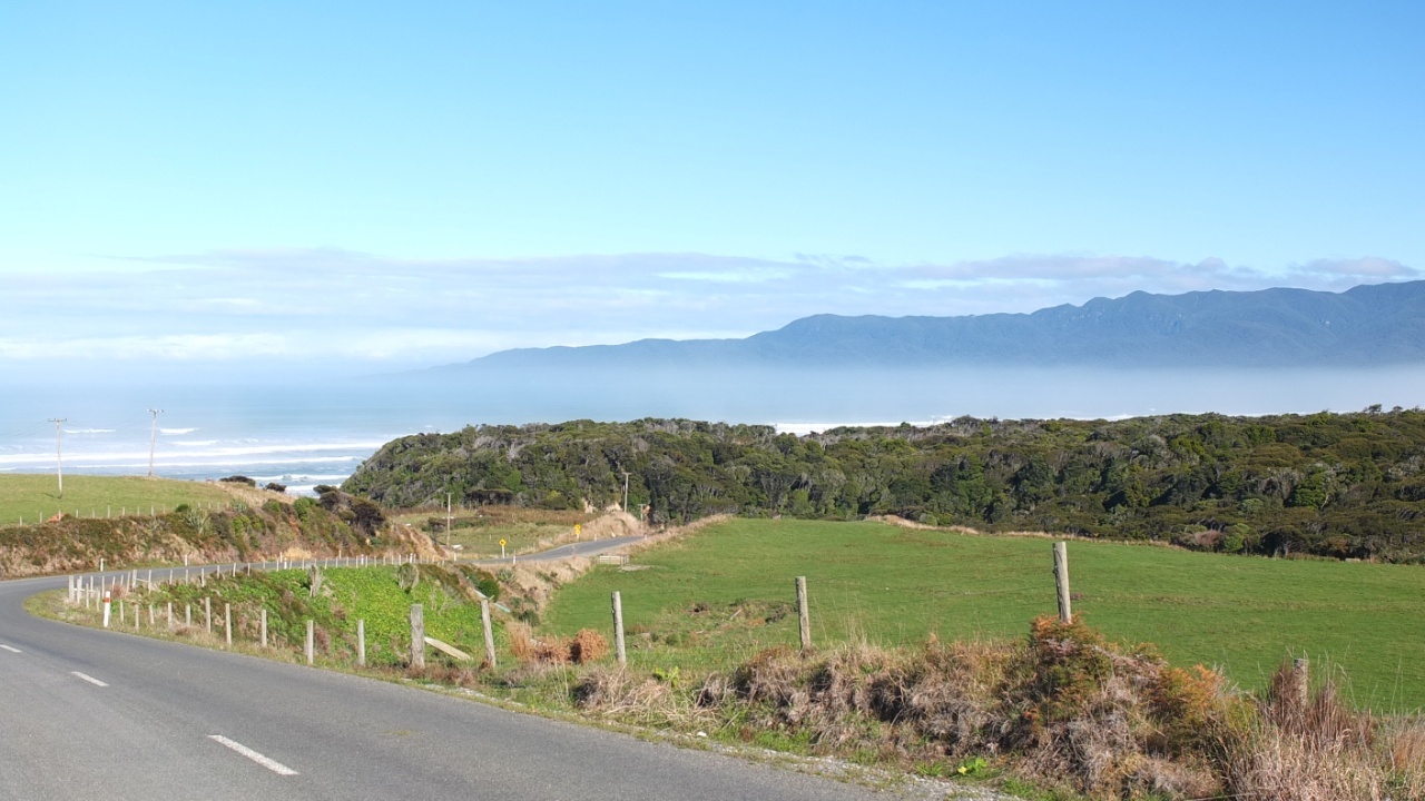
After 8km south, I’m heading west toward the Fiordland again :-)
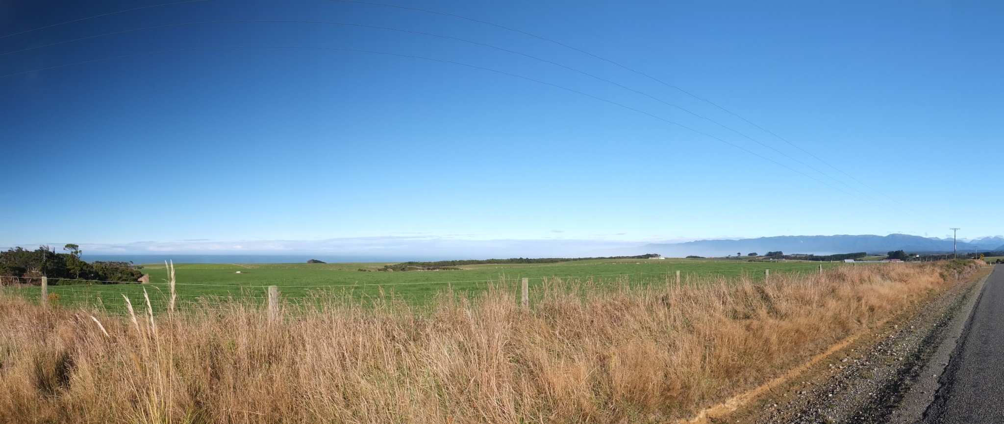
Perfect sky and very low clouds or smoke from the sea, I’m not sure.
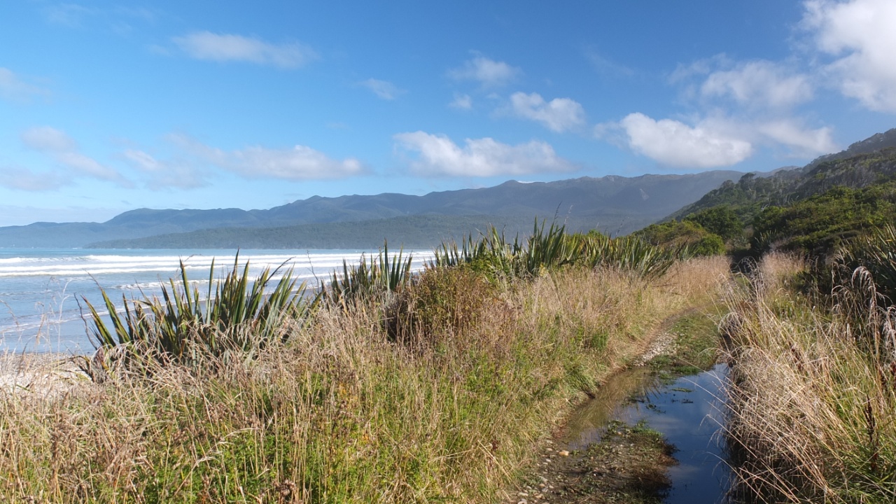
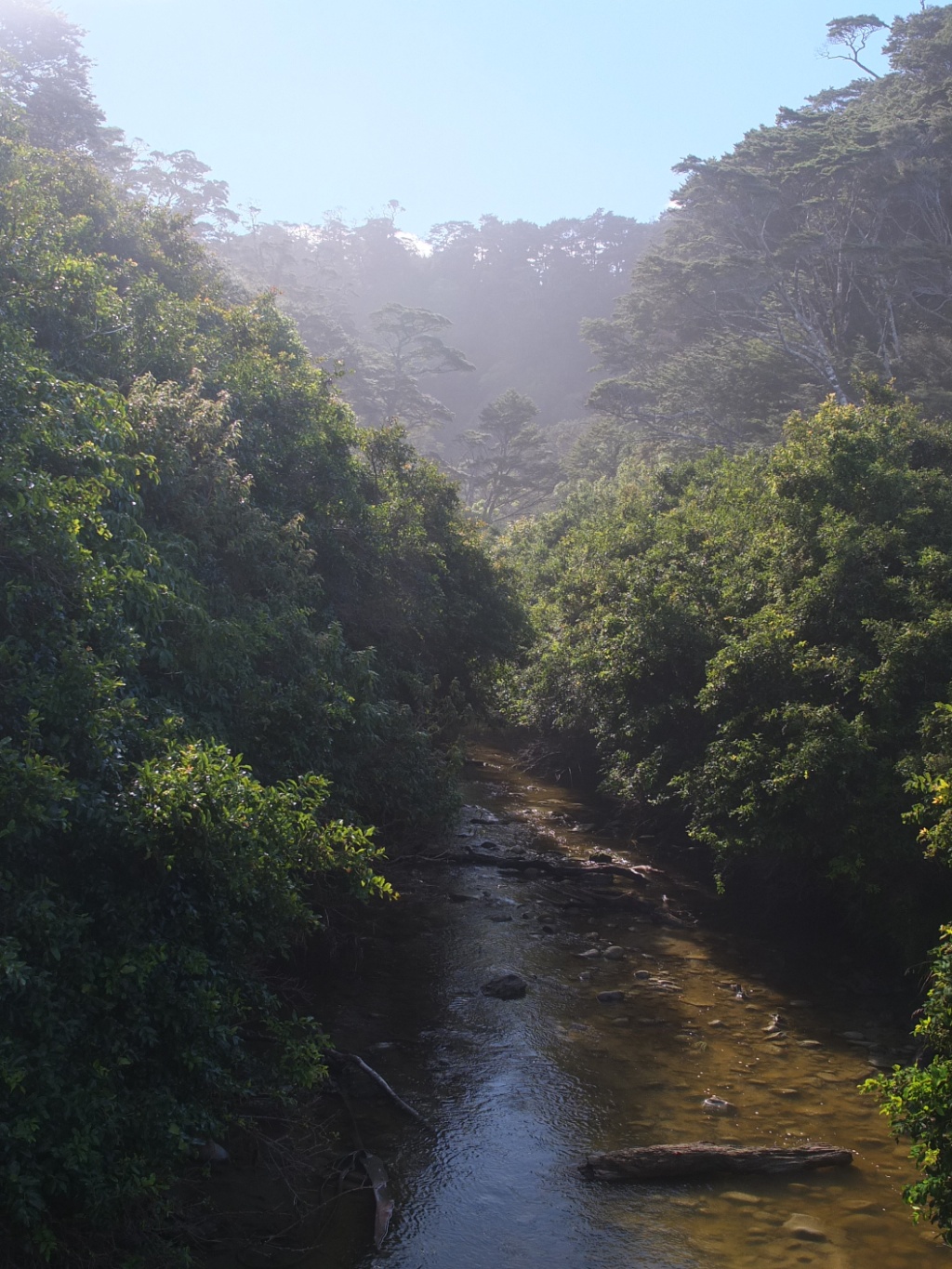
That’s Te Waewae bay in the Tasman sea.
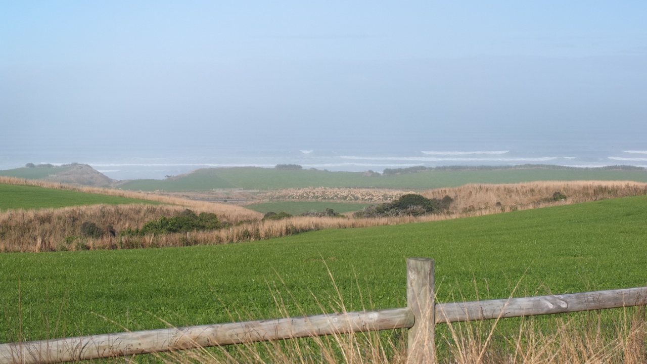
Wouhooo, that’s foggy there.
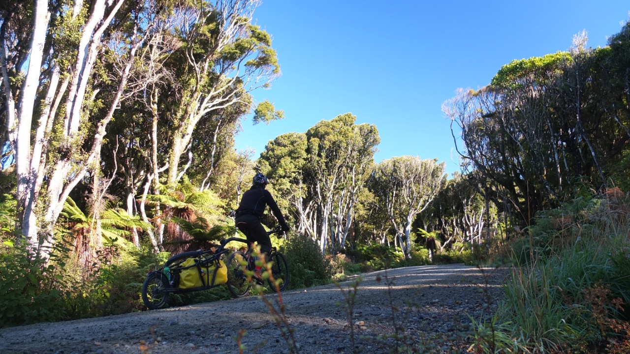
I’m now onto a gravel road since 4km and it’s not finished yet.
Another piece of sealed road, it’s good :-)

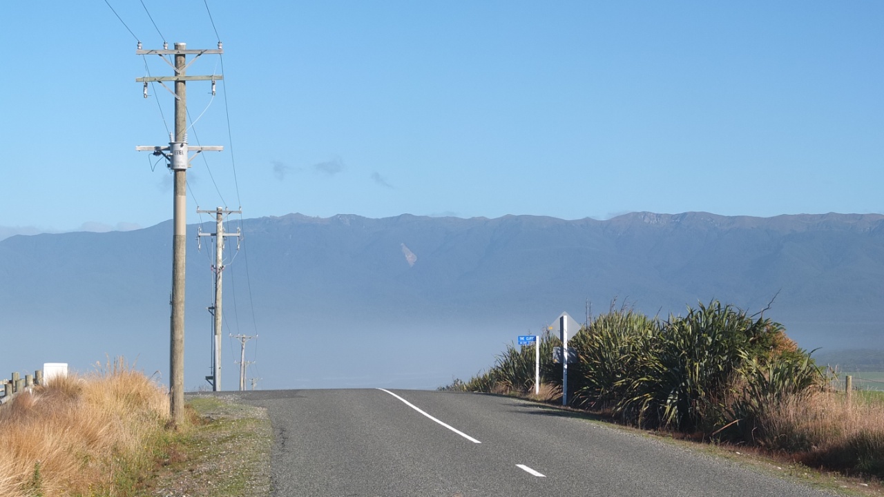
I didn’t expect a hilly road like this!

And I have to go up hill again… OK, I walk this time…
I’ m getting close I hope.
Still humid everywhere.
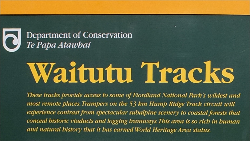
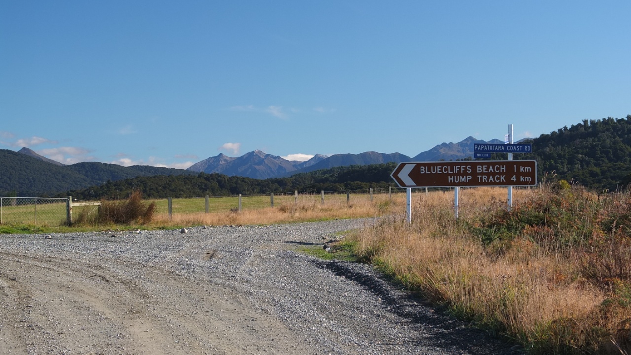
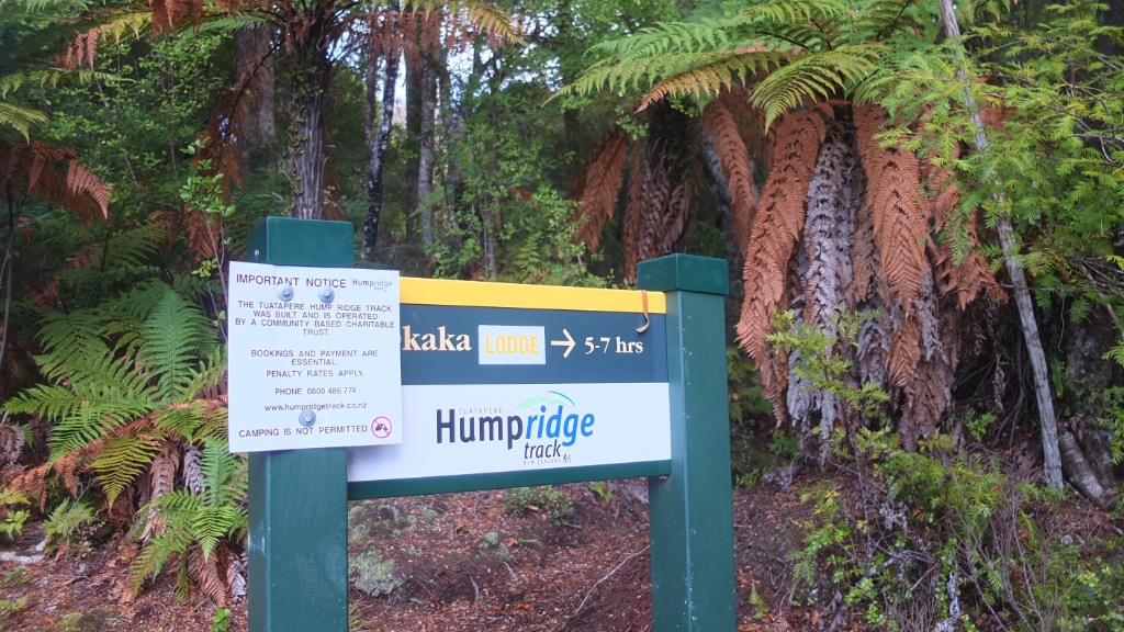
Fiou! Arrived! My bike is locked in the carpark and I’m front of the entrance of the famous 53km Hump Ridge Track :-)

This is the elevation of the track. Oh! 8 to 9 hours! And now it’s 11am already. So, I should arrive at 7pm this evening at night… I’ve got my torch but I would prefer to arrive before 6pm. Usually I’m faster than the panels. It should be OK.
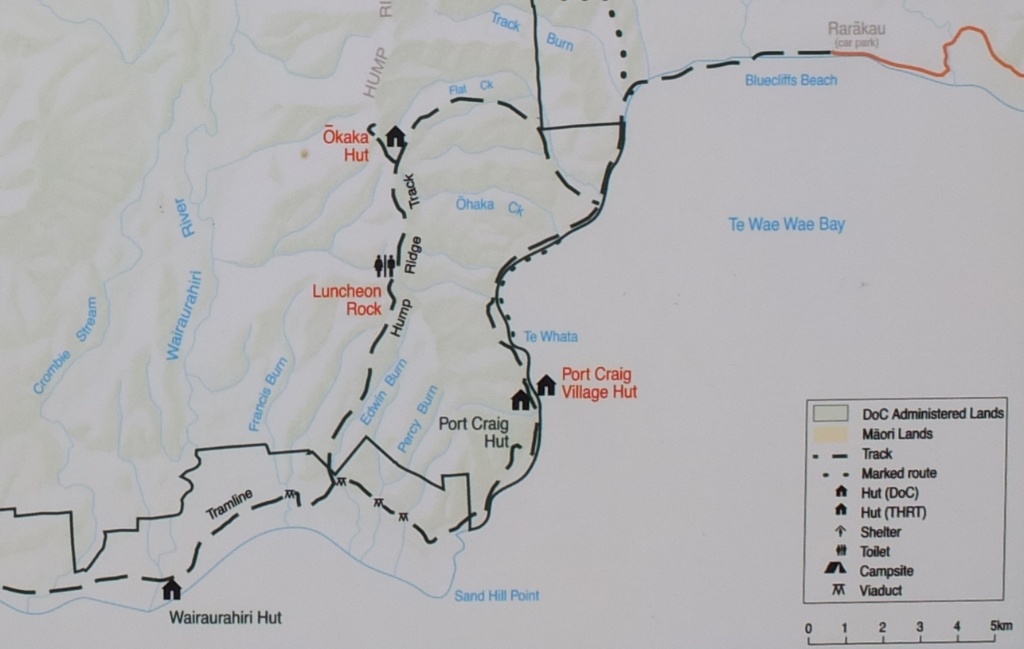
The map again. I’m on the top right hand corner of the map (Rarākau carpark). At the first intersection I will turn right toward Ōkaka hut.

Let’s go!

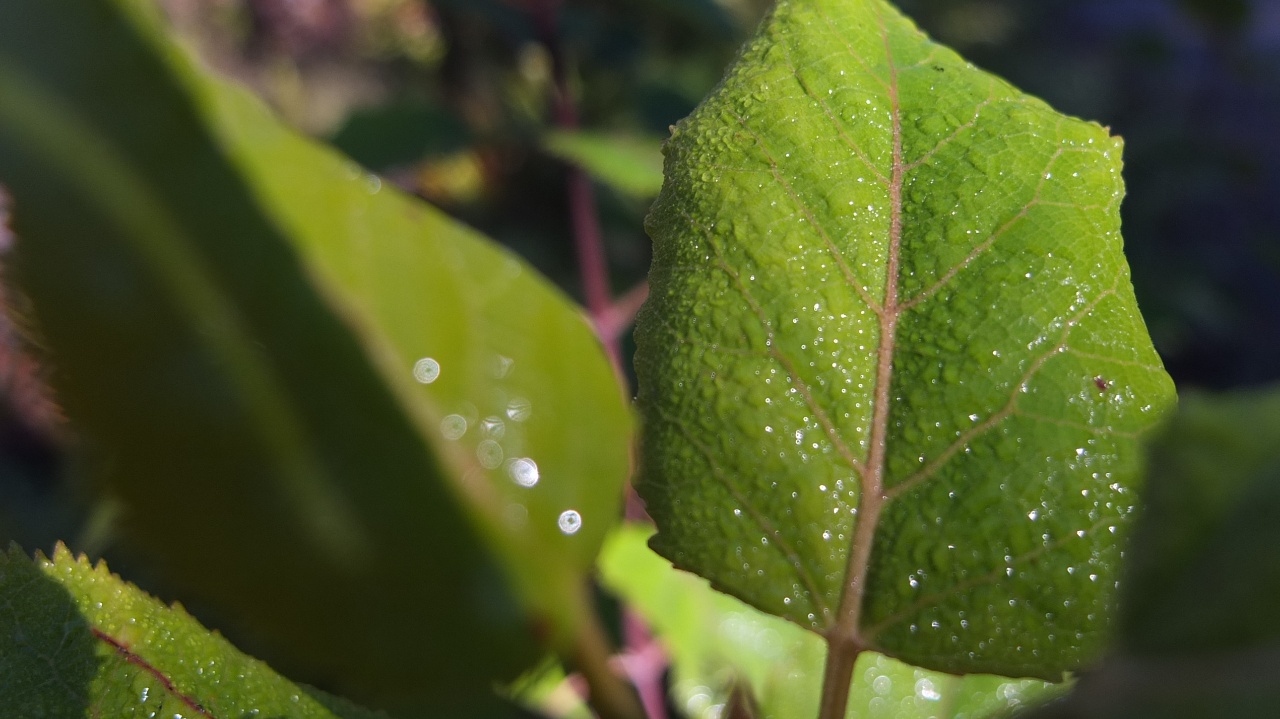
There is nice light spot here.
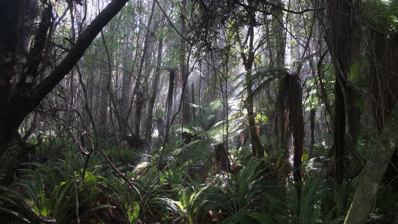
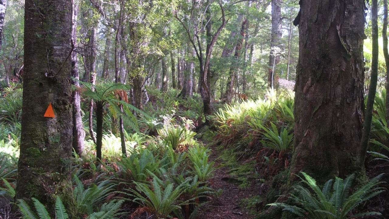
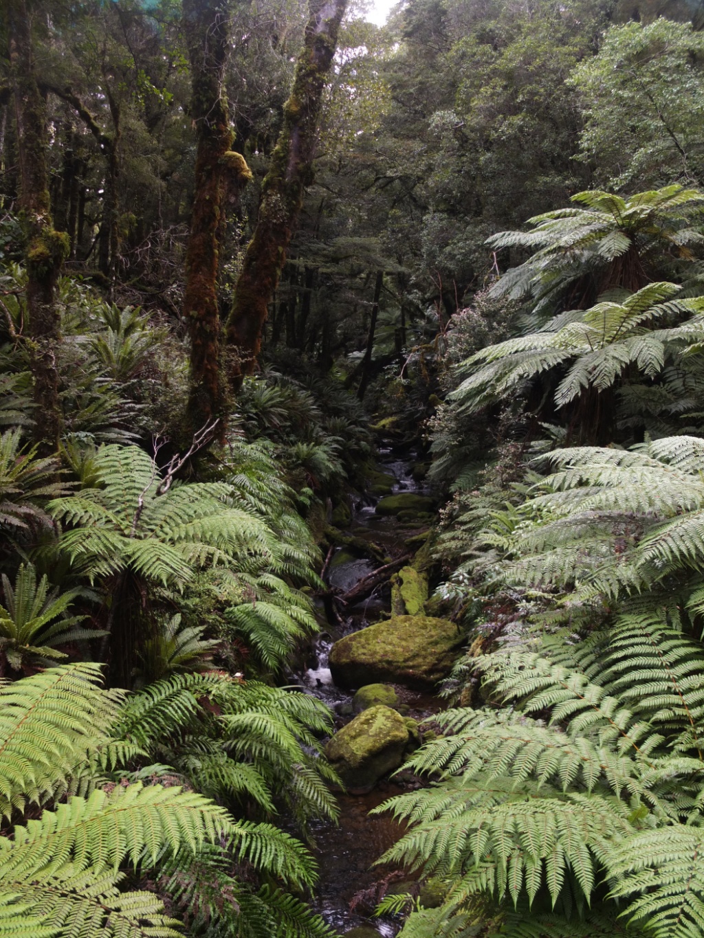
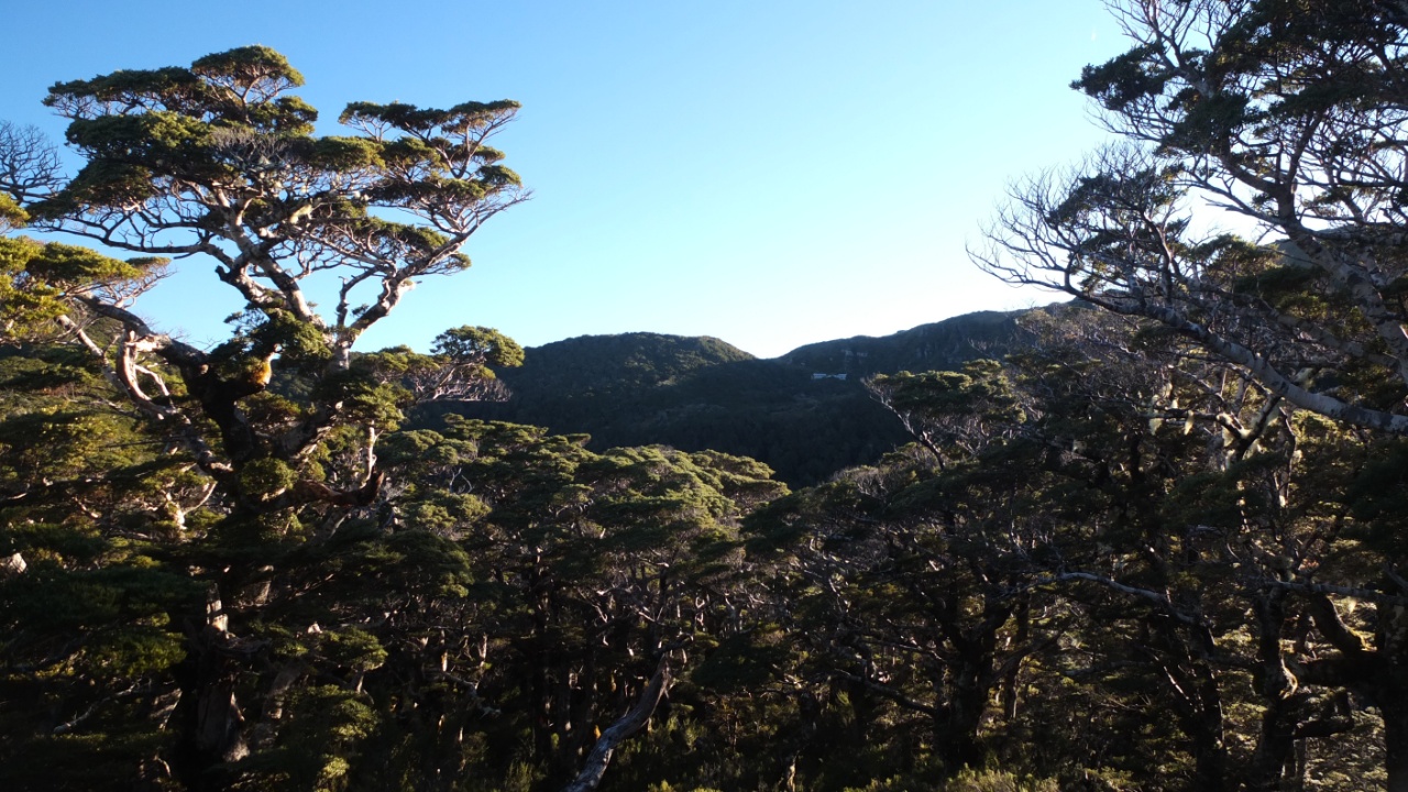
The Fiordland forest :-)
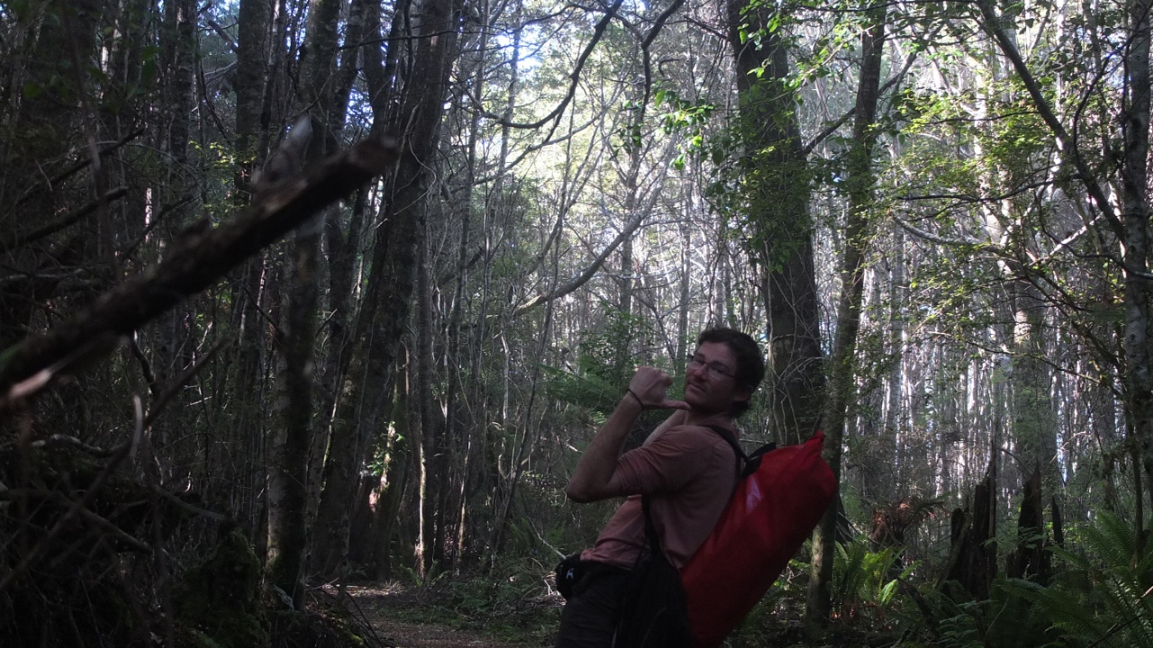
For the first time I’m using my new red backpack :-) it’s just the right size for three days.
I’m getting close to the sea.

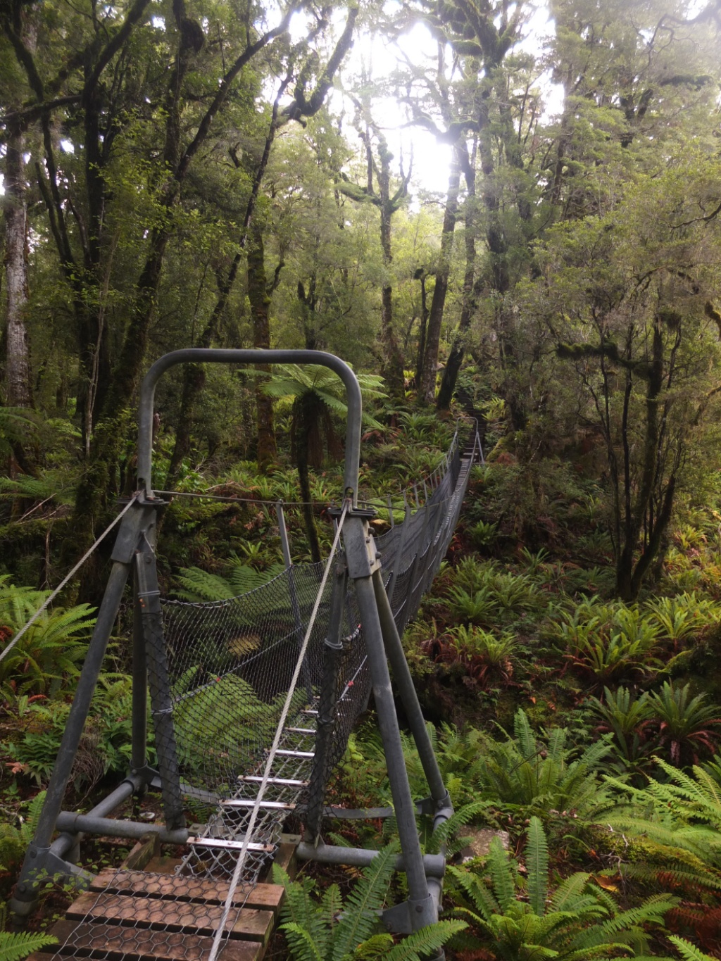
The first swing bridge of the day.
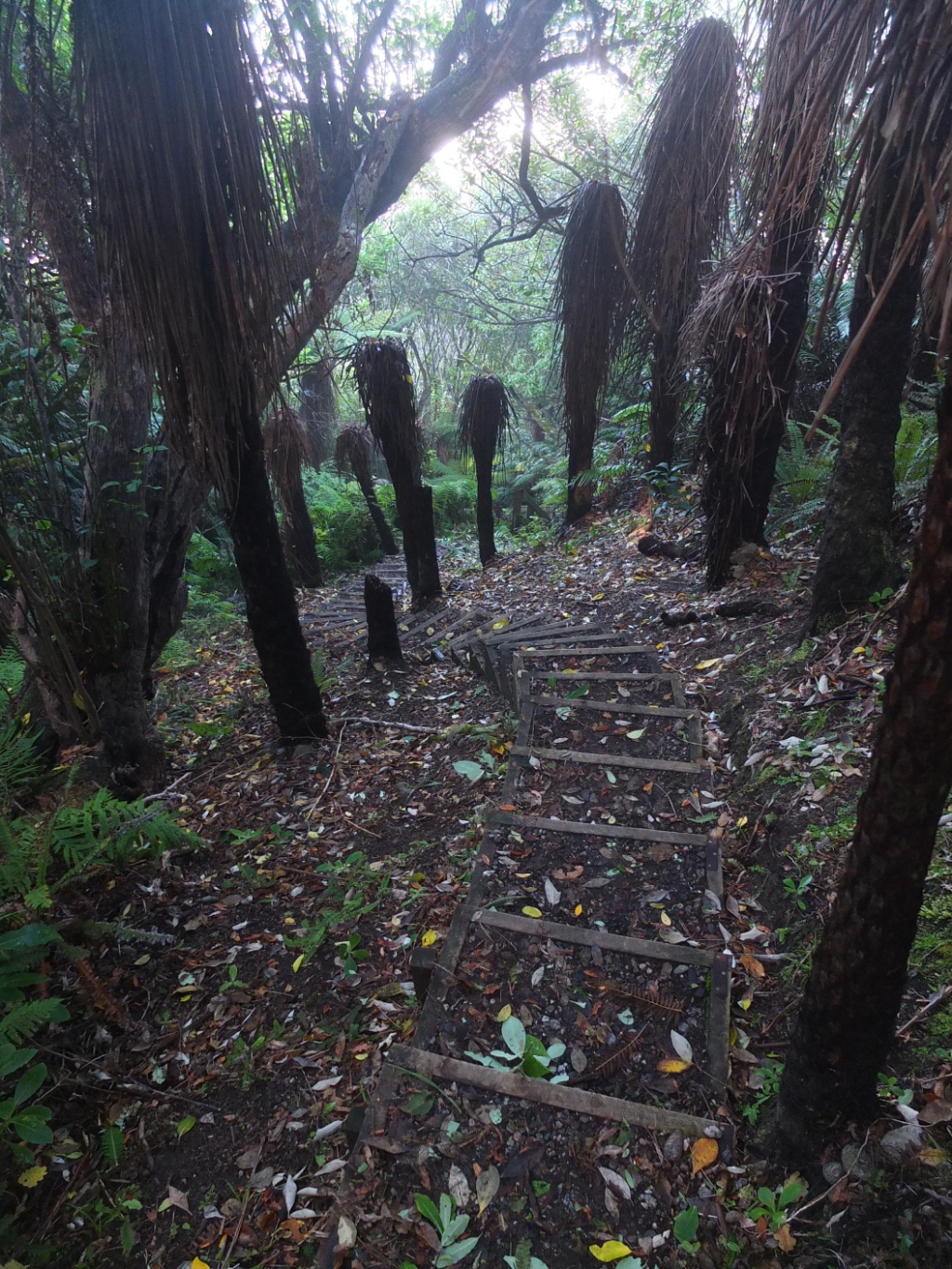
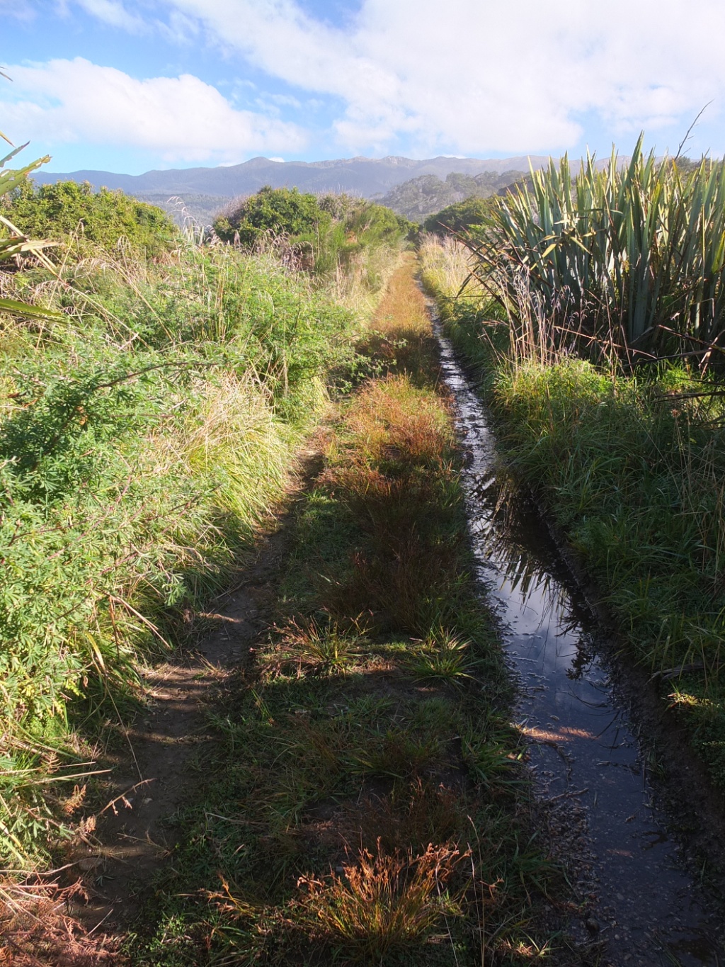
This track is really wet.

The beach is much easier.
But the tide is coning too high and I had to come back to the wet track.
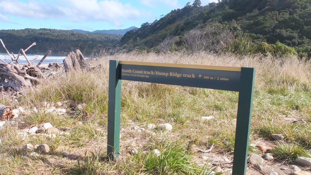
Ah, finally a panel. I was walking and walking without seeing any sign… I’m no it lost :-) Yet…
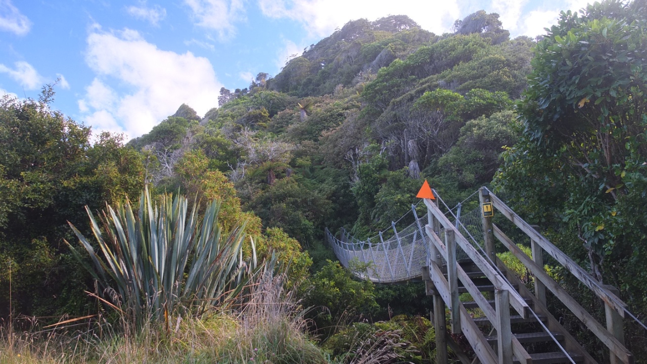
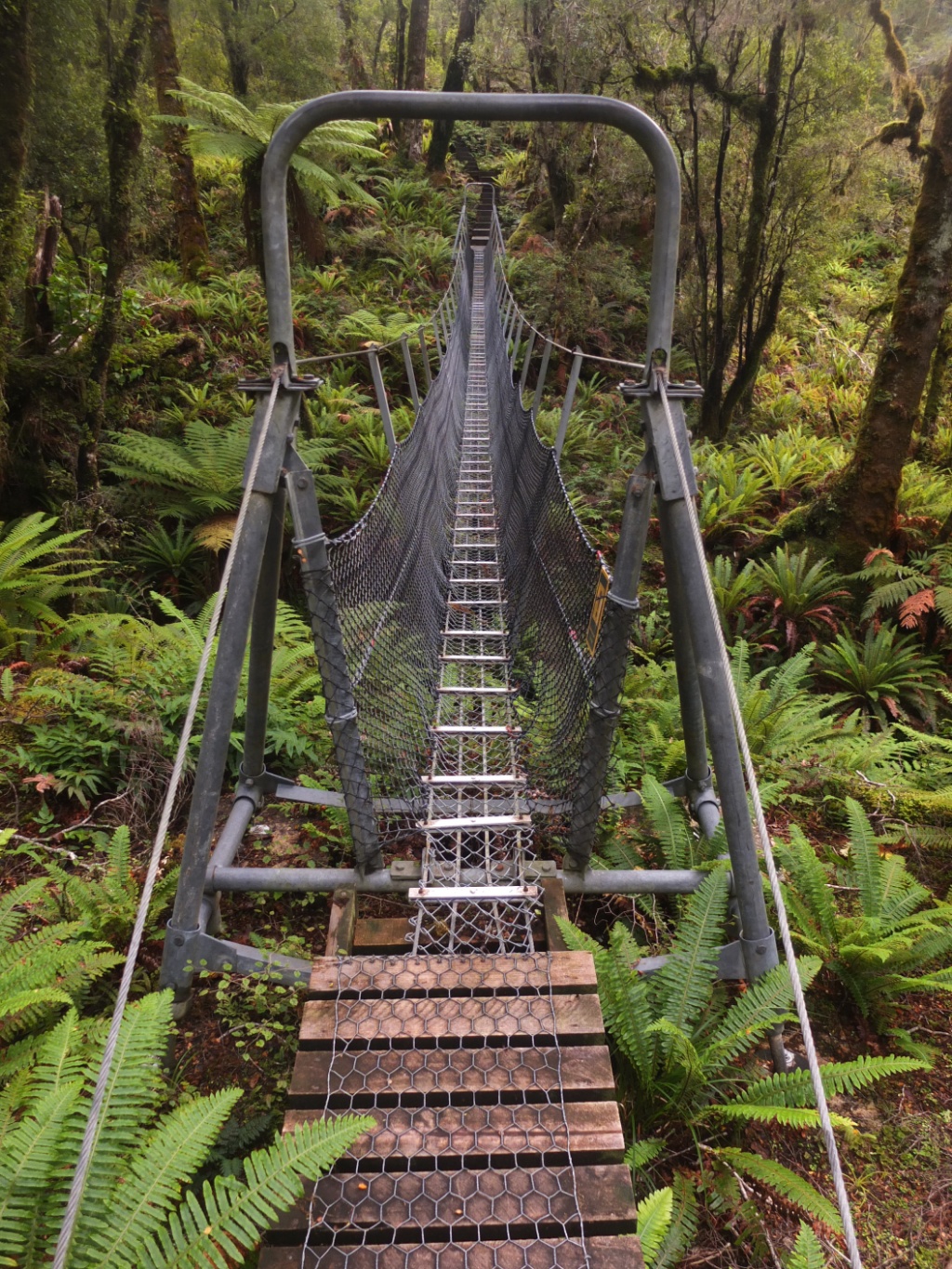
One more swing bridge, that’s cool :-)
The bridge’s view, nature.
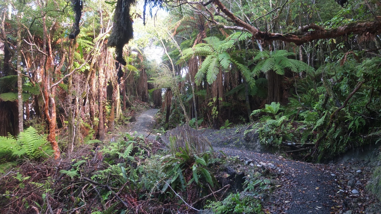
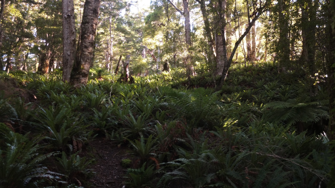
Forest.
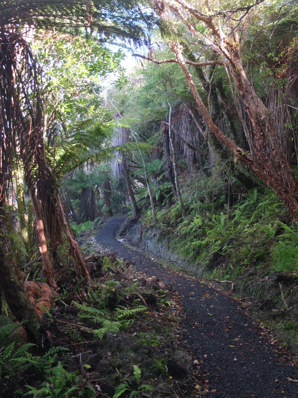
And more forest.
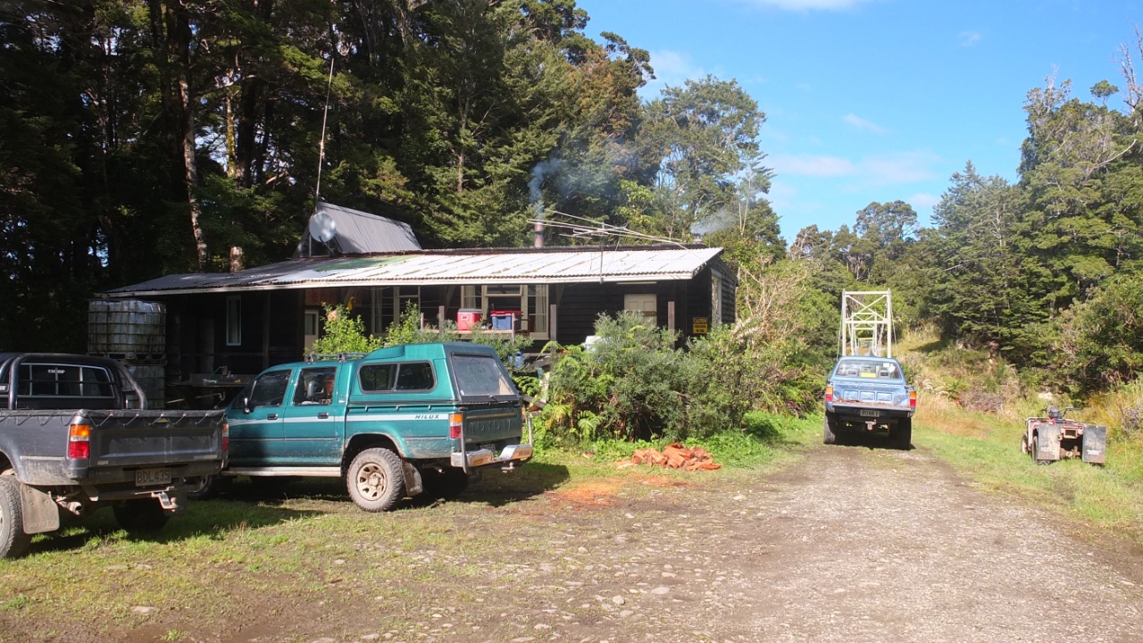
That’s a hut here but I don’t know if it’s public are not. There is certainly hunters inside now because…
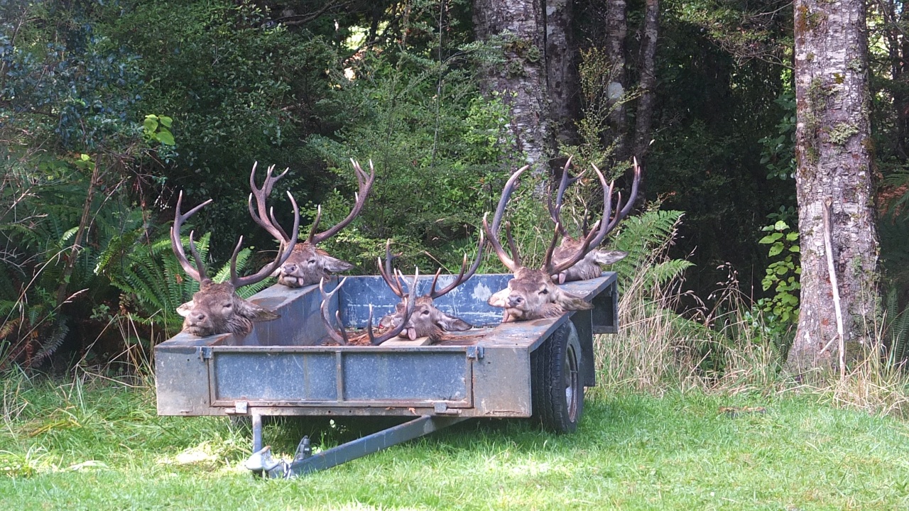
… of that! Deers’ heads!
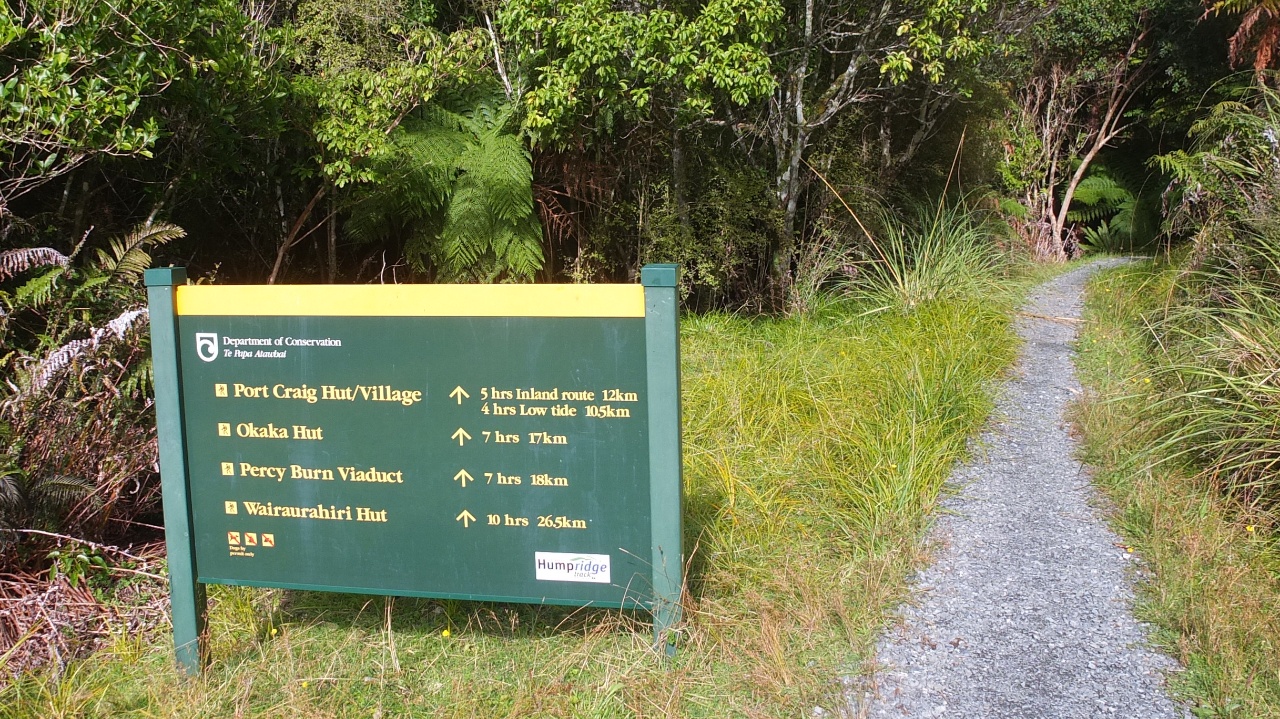
Ōkaka hut, 7h, 17km. OK, let’s continue :-)
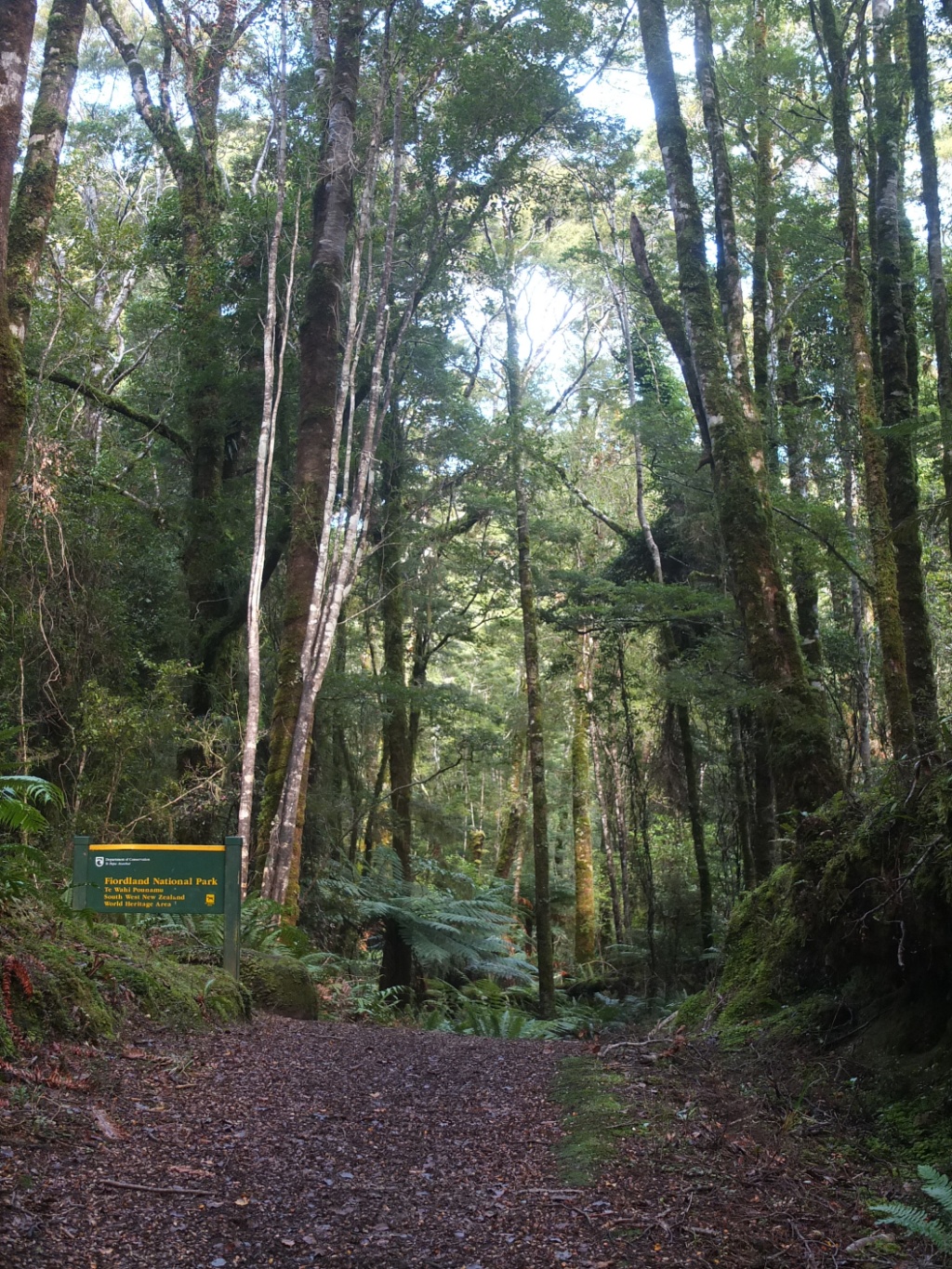
I’m entering in the Fiordland national park.
No no my camera is levelled :-)

Going up, going up.
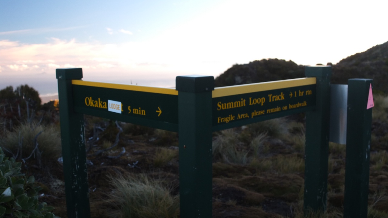
The intersection! 5-7h, I’m not late, that’s cool :-)

Why? I don’t know…
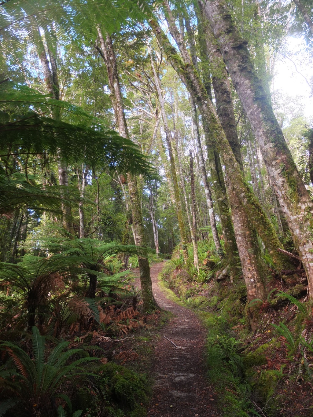
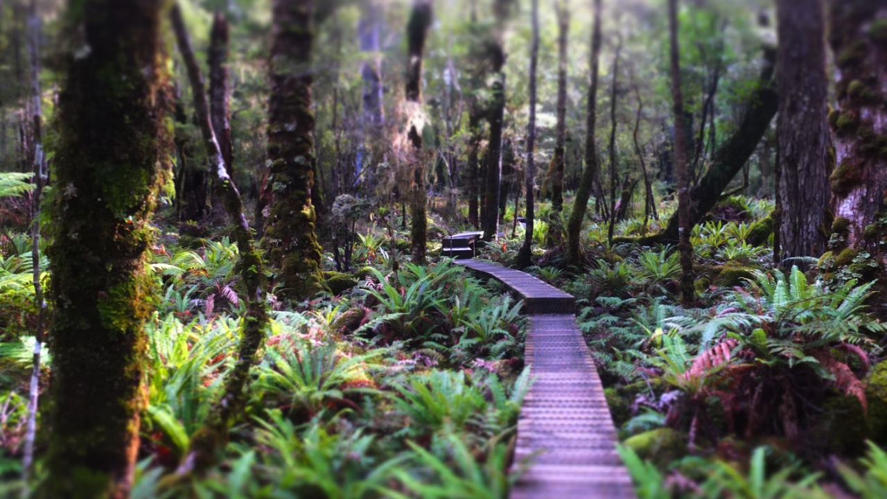
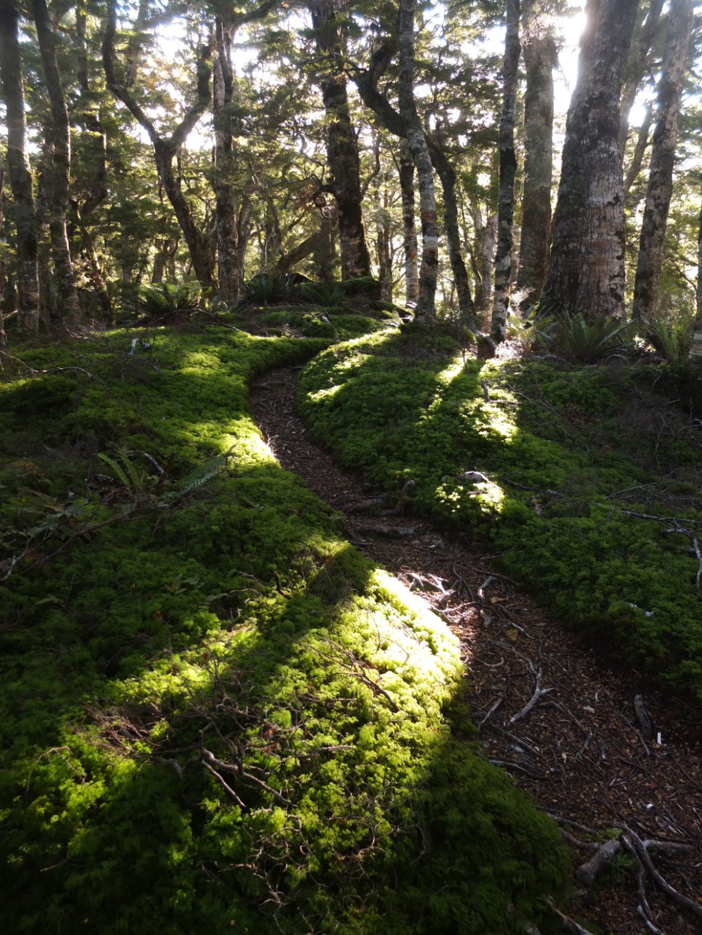
It looks quite the same by a picture but in real it’s solo nice to walk through this forest.

The DOC council made a really good job on this track to protect the forest and permit us to visit it.
Effect!
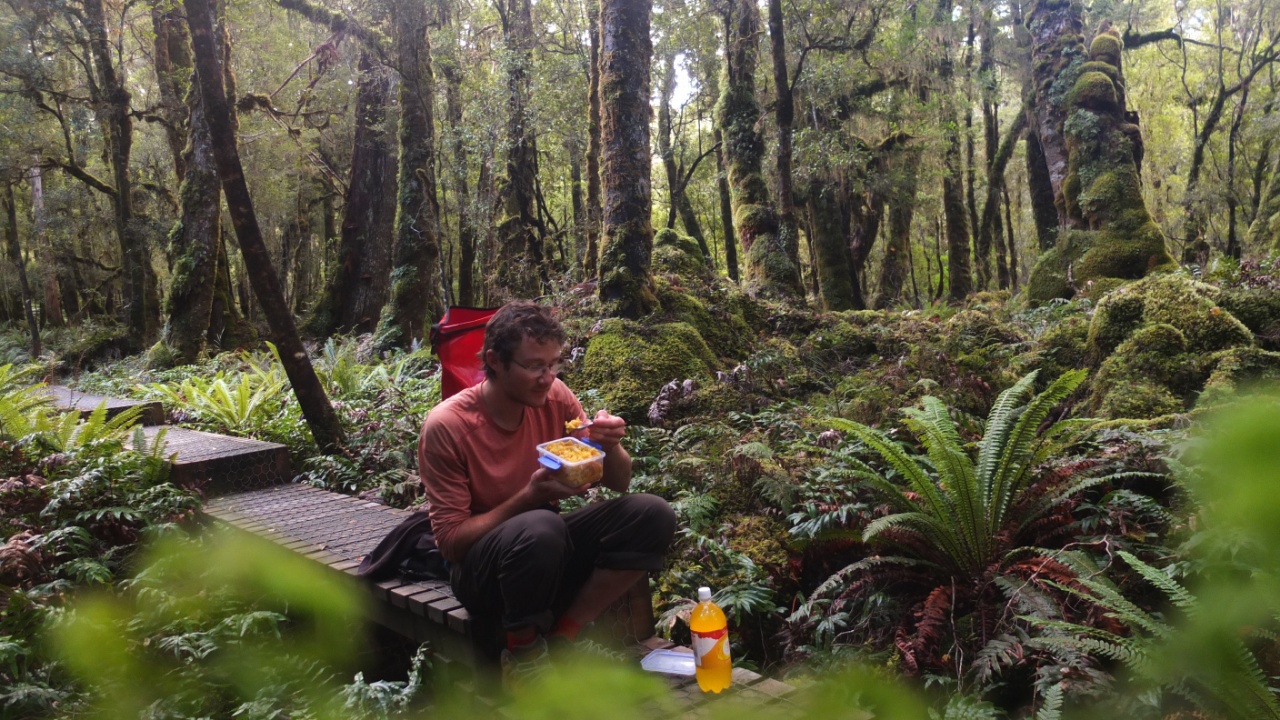
It’s around 1:30pm and I’m hungry!
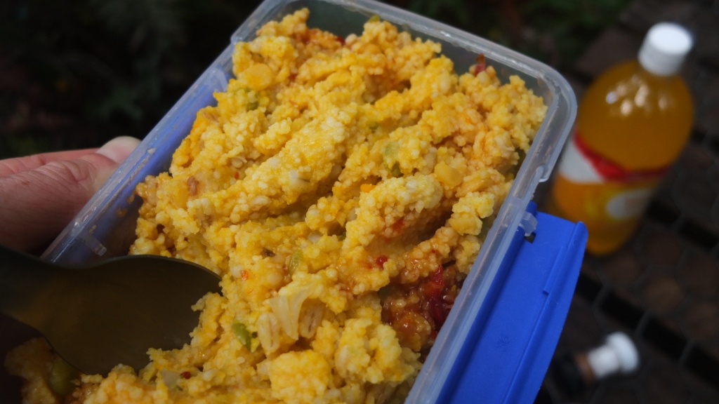
I’ve cook this mixture for three days. It was a soup at the beginning and then I added couscous to absorb the juice and make safe dry and heavy meal for my backpack. I’ve also added some potato flour that I’ve founded in the campsites kitchen :-)
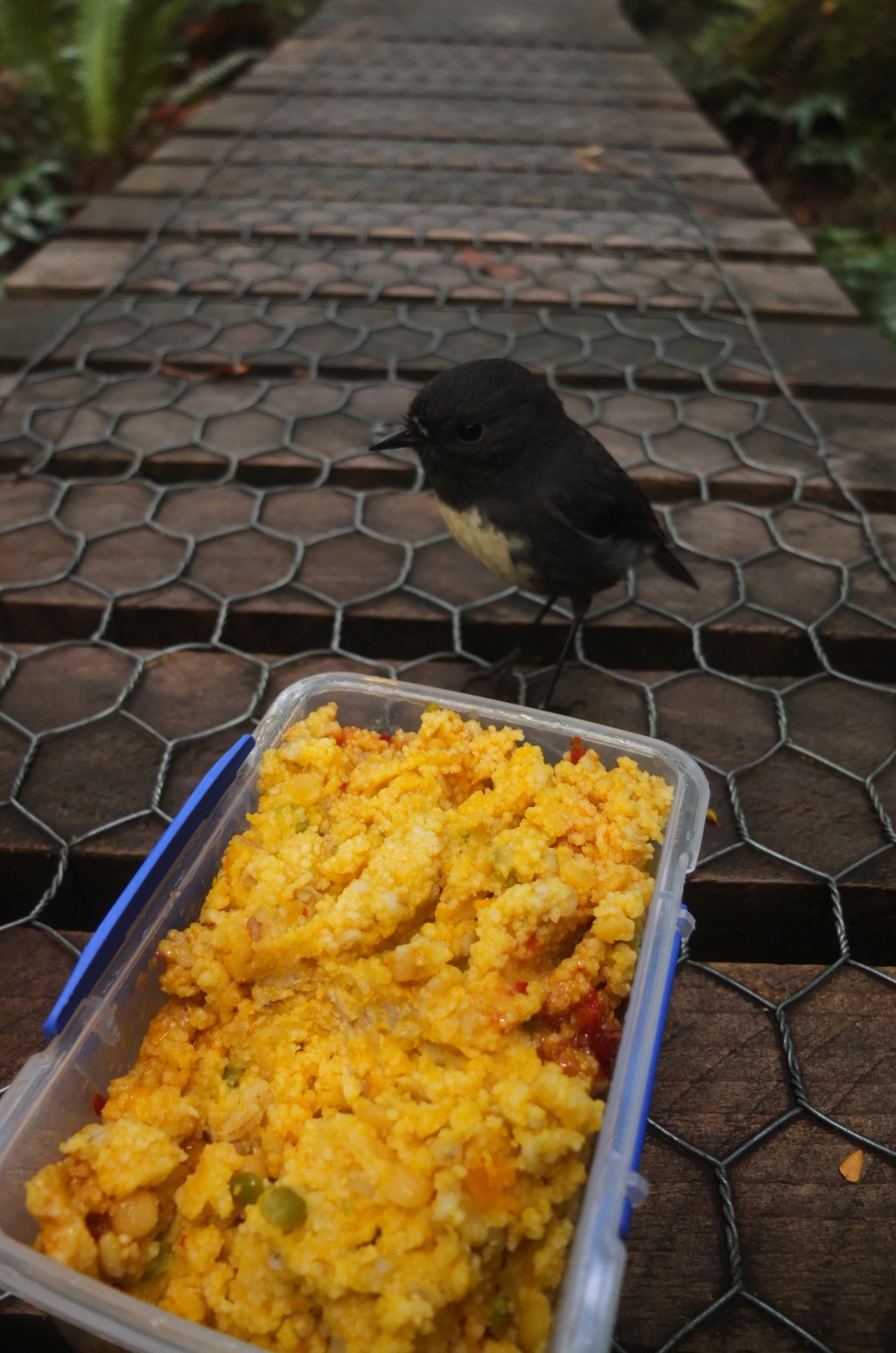
And it’s should be good because this bird…

… is stealing my food!
[fve]https://www.youtube.com/watch?v=c3cviGopwRg[/fve]
Video!
15 minutes break and it’s time to continue.
This swing bridge is perfect for digestion :-)

That’s a shelter in case it’s raining I think.
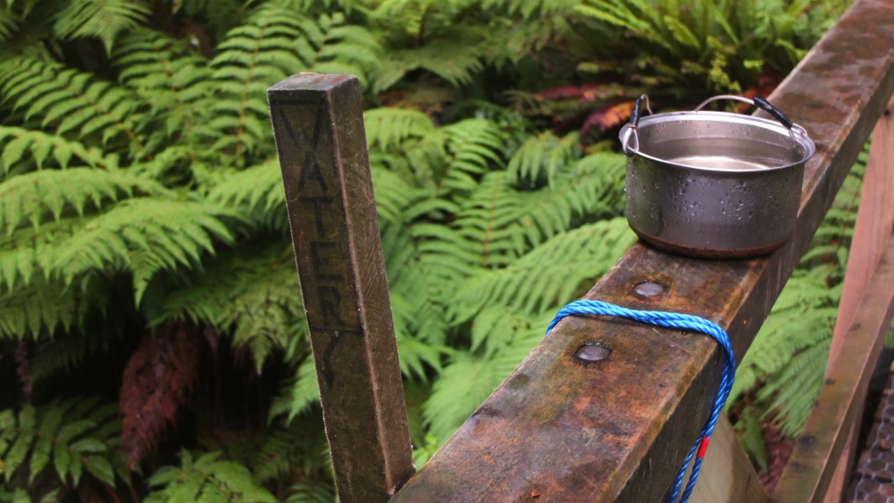
“Water” and a pot. Nice tap :-)
The river from the bridge :-)
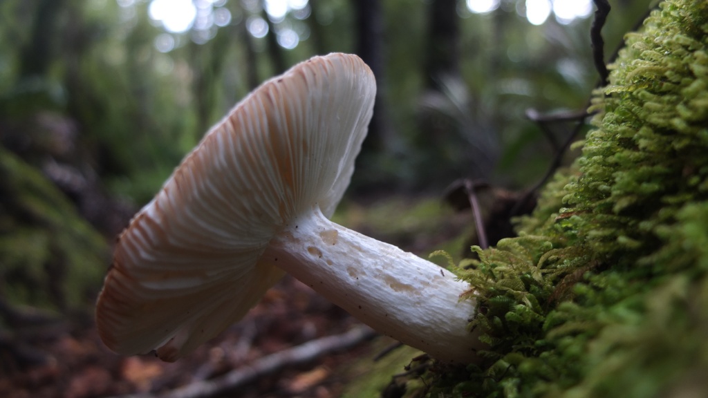
Big white mushroom! I won’t touch it but with a good knowledge I could have a really nice meal tonight.
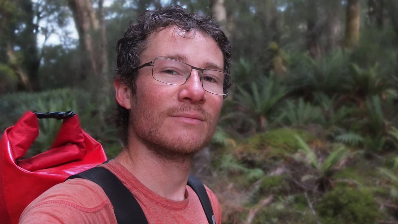
I look old!
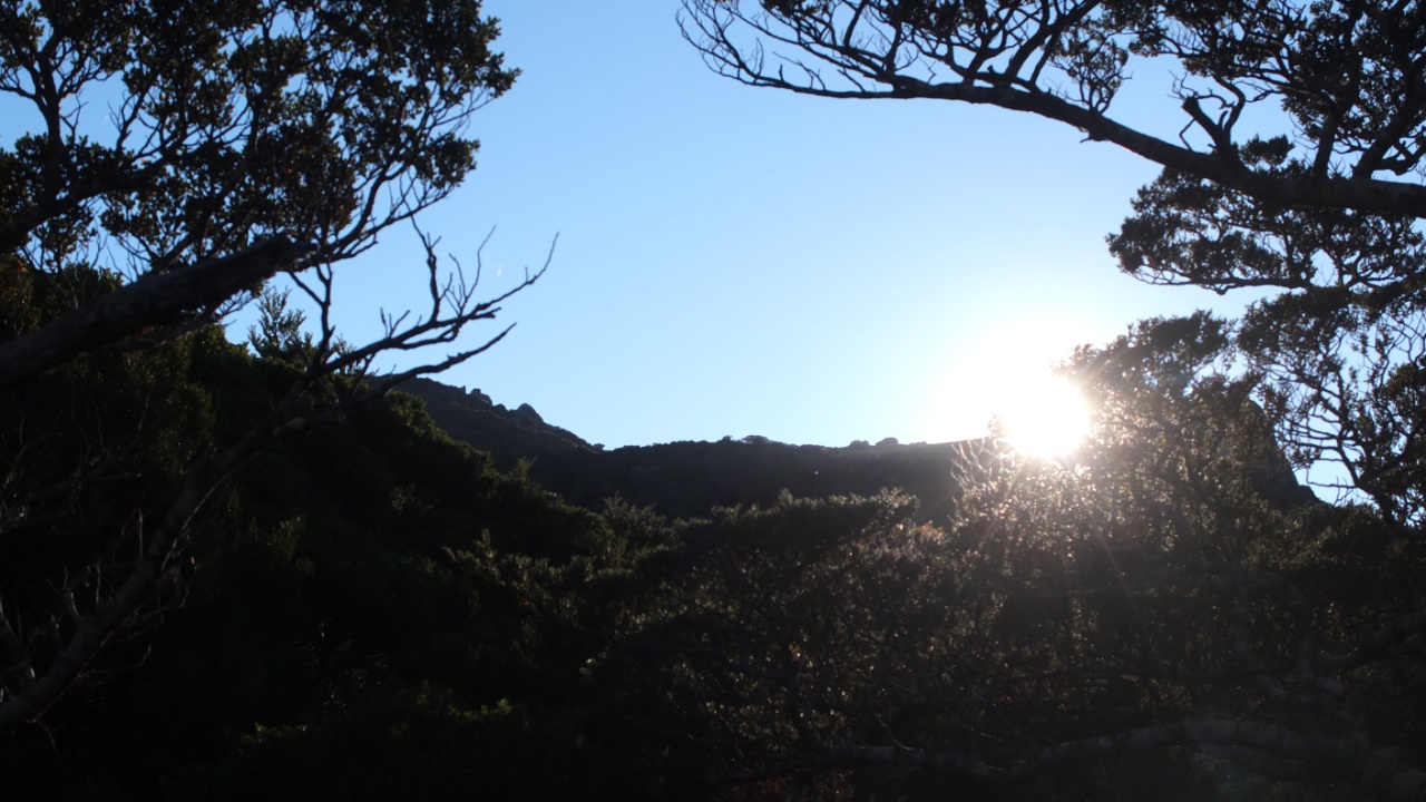
Is it the top already? The sun is there.

Nice, I like :-)
I like too!
[fve]https://www.youtube.com/watch?v=4y1r0RQ1We4[/fve]
Video!
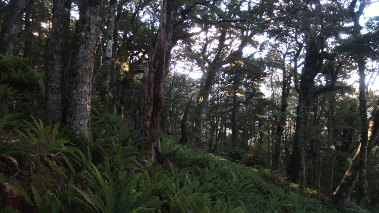
Now, it’s seriously going up hill!
And it’s still going up hill! There something like cotton onto this trees. It’s moving slowly with the wind. There is too much details in that picture I think but in real, wouhaaa! You must come here and enjoy :-)
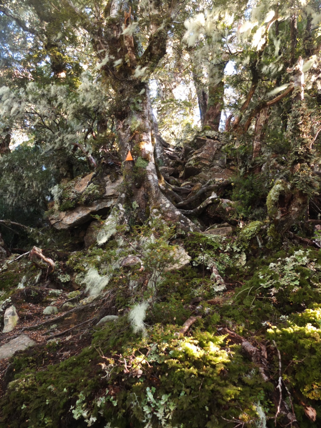
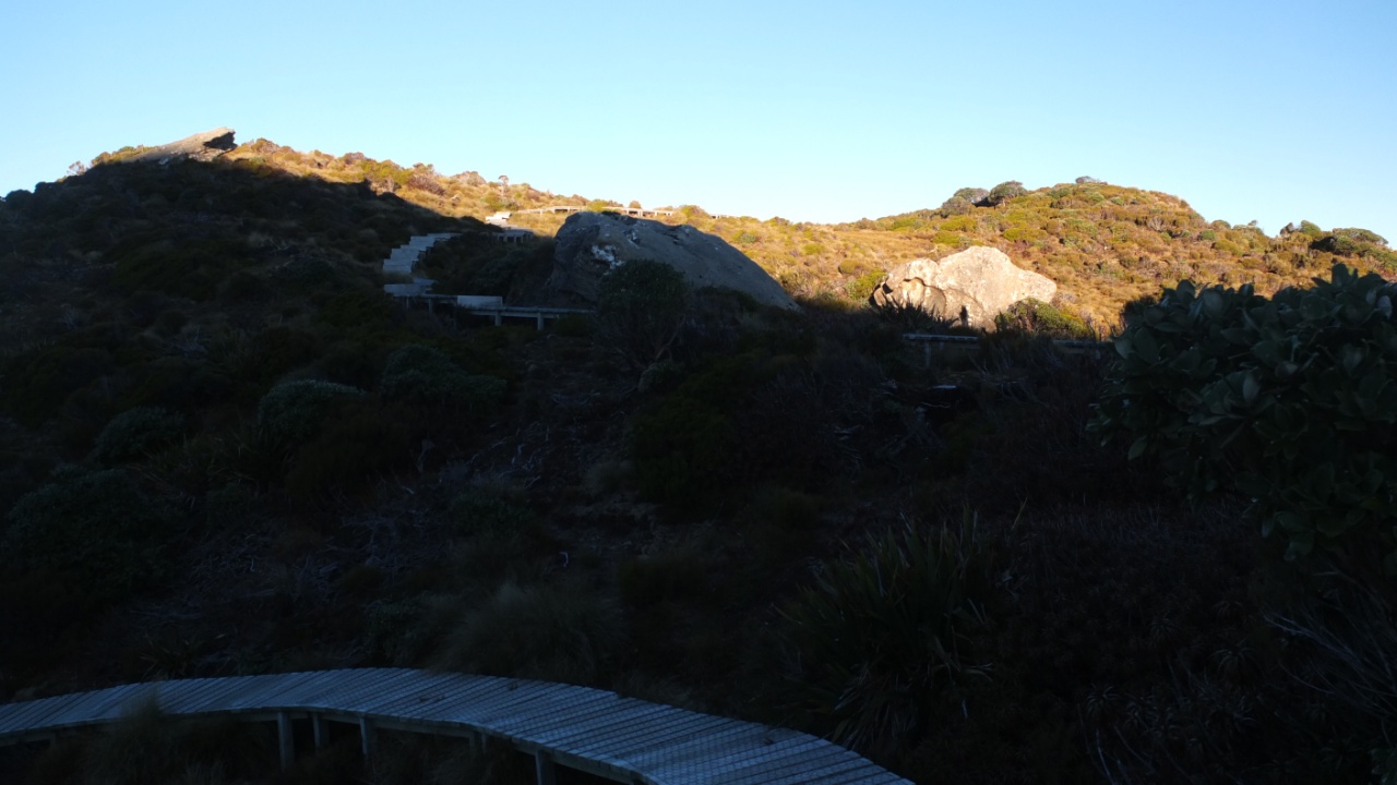
I didn’t see the hut yet but it’s certainly around somewhere.

Rah, just when I was thinking about it!
The hut is already in the shade and the sun is passing on the other side of the mountain. I must hurry up a bit!
I’m a adventurer now :-)
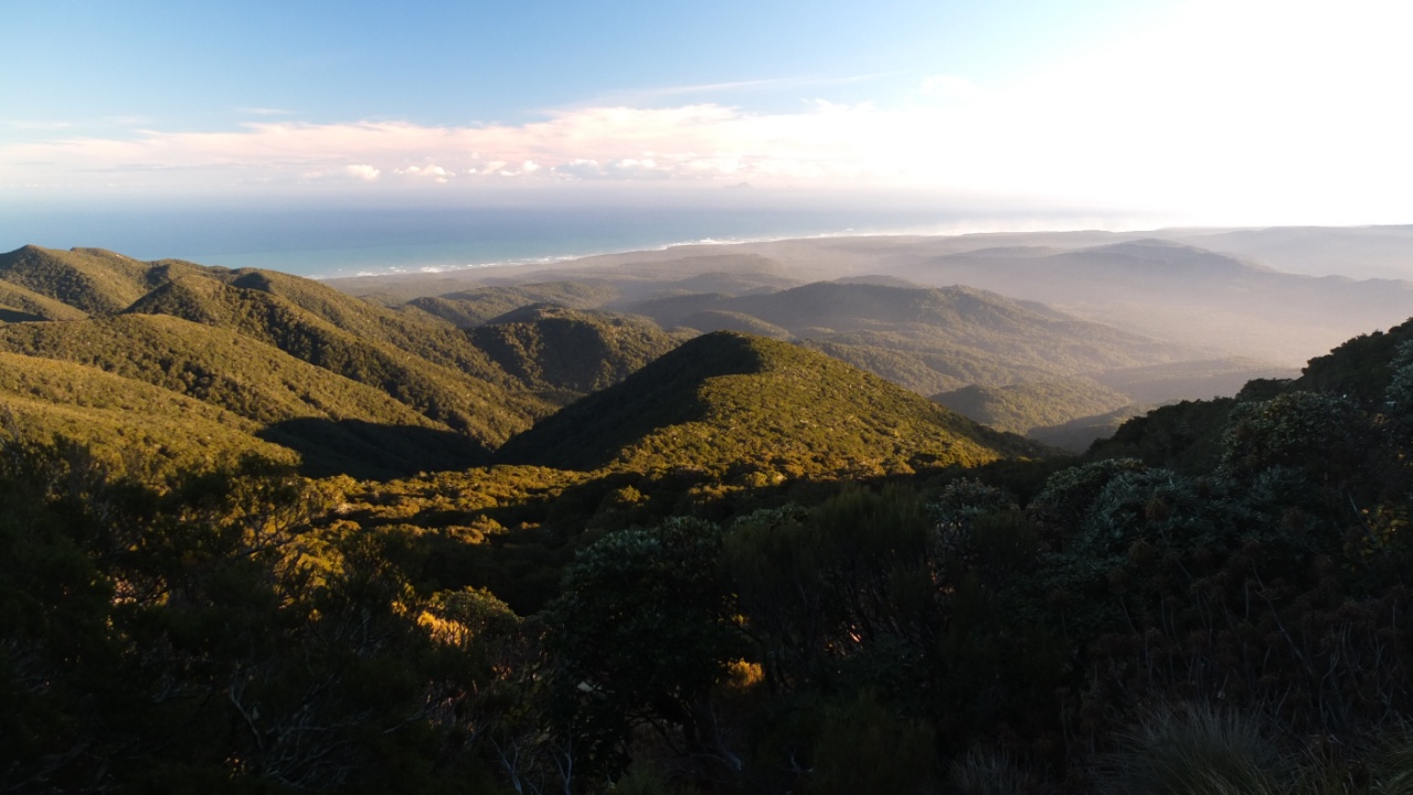
The landscape is wonderful from here and I’m not onto the summit.

Every steps I think I can see the other side but no.
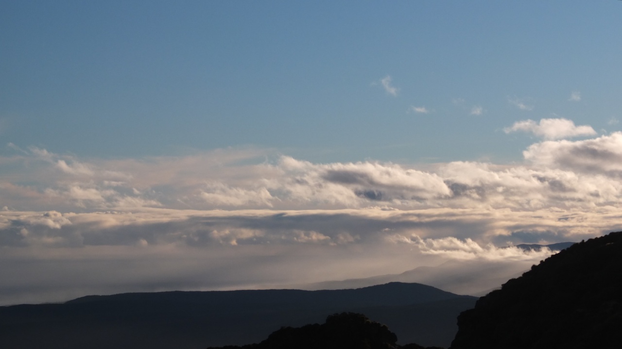
Oooh, I don’t like those clouds…

Interesting…
OK, let’s go to the hut and then I will visit the top.
The sun is disappearing…
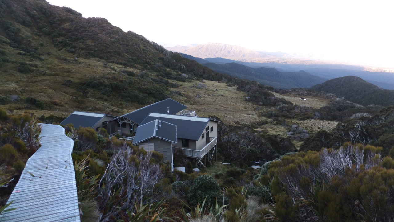
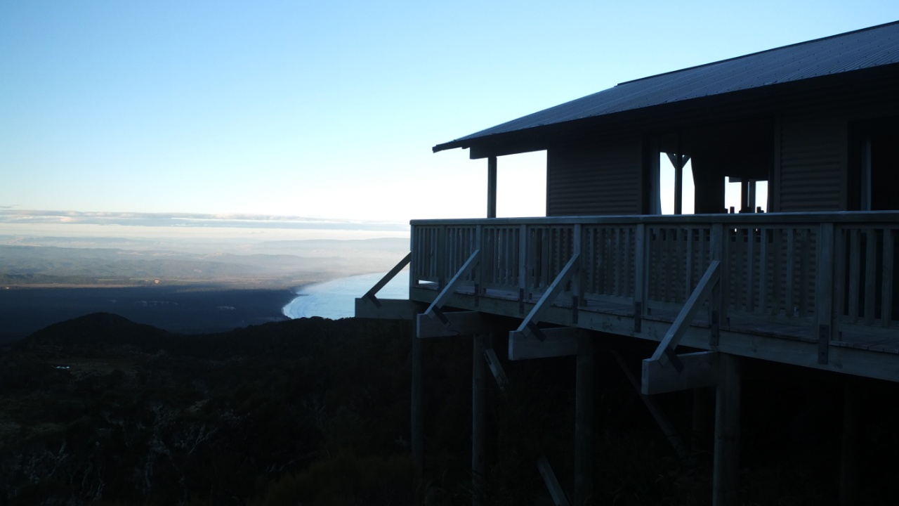
Finally, Ōkaka hut! :-)
The first part belongs to the guardian but he or she is here for the high season only.
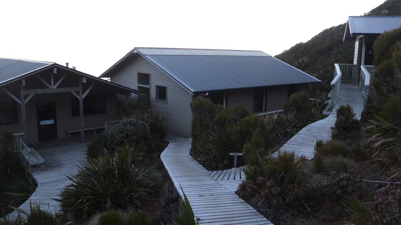
Left to right : kitchen and lounge, dorms and toilets.
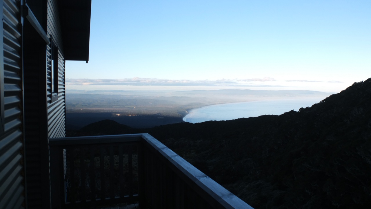
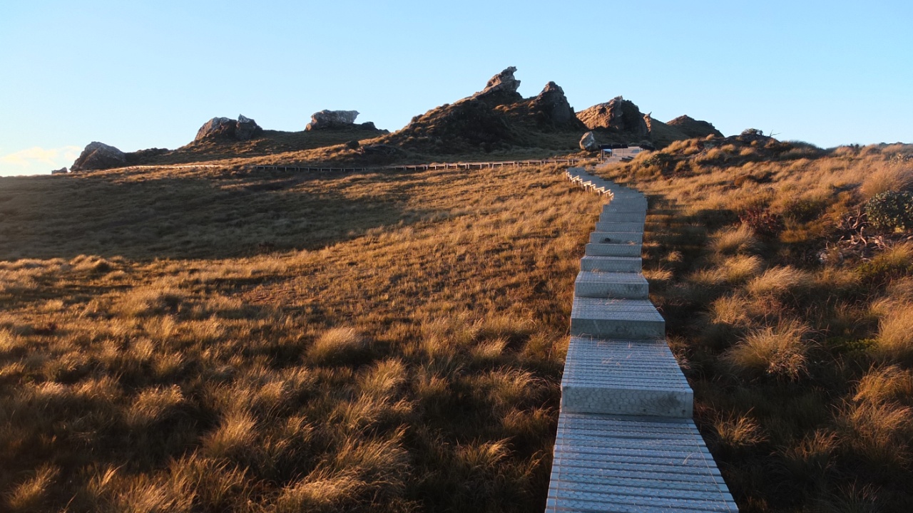
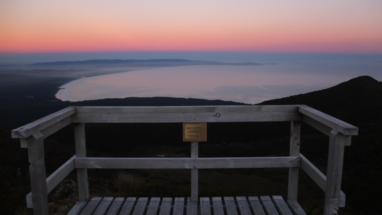
First look out, whouaaa :-)
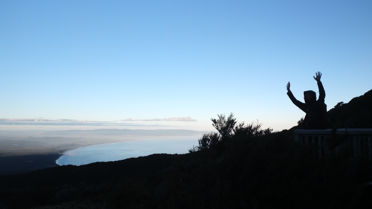
I’m here!
The beginning of the track seams too far away!

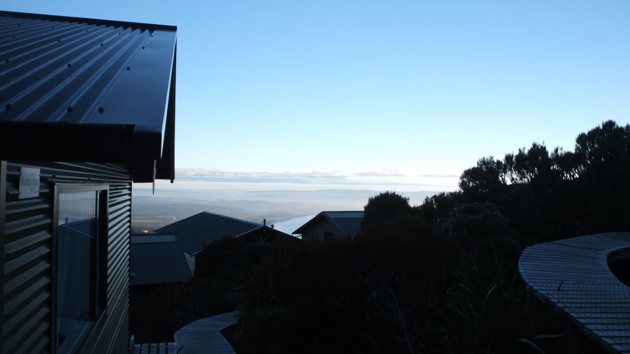
The view from the dorm.
And my bed for tonight :-)
I’ve let my backpack in the dorm and I’m now going to the summit to watch the sunset.
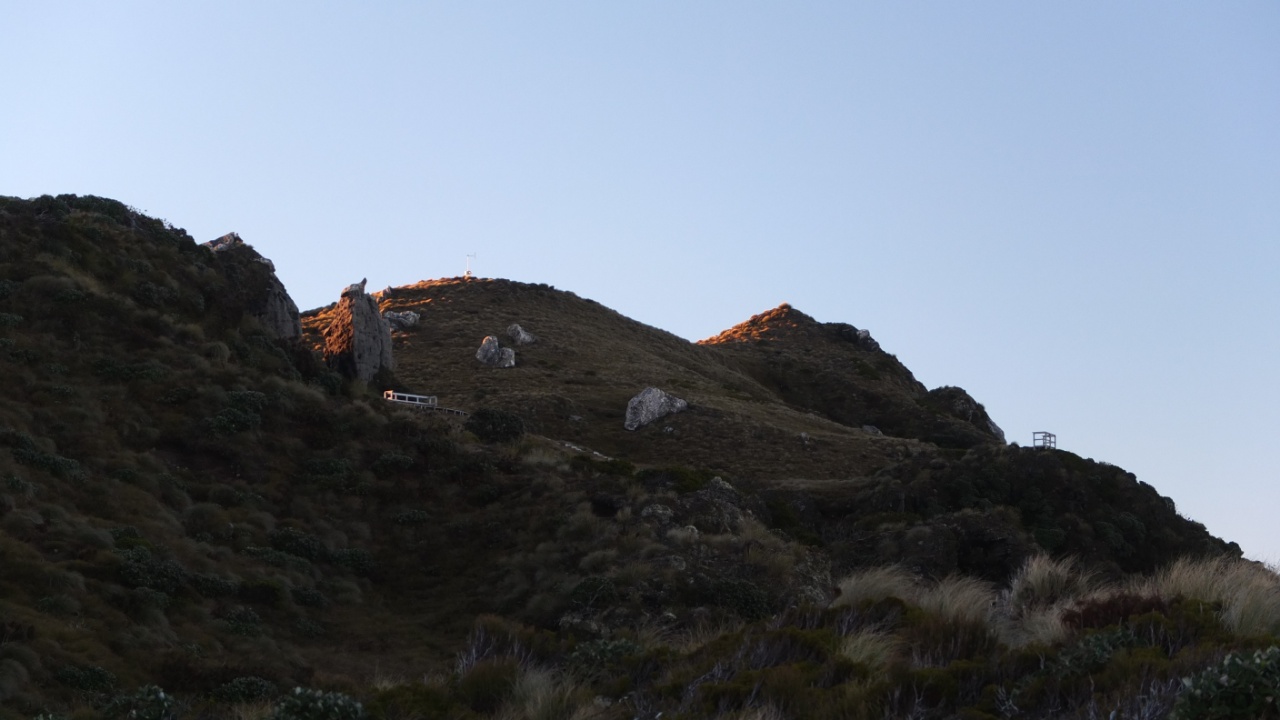
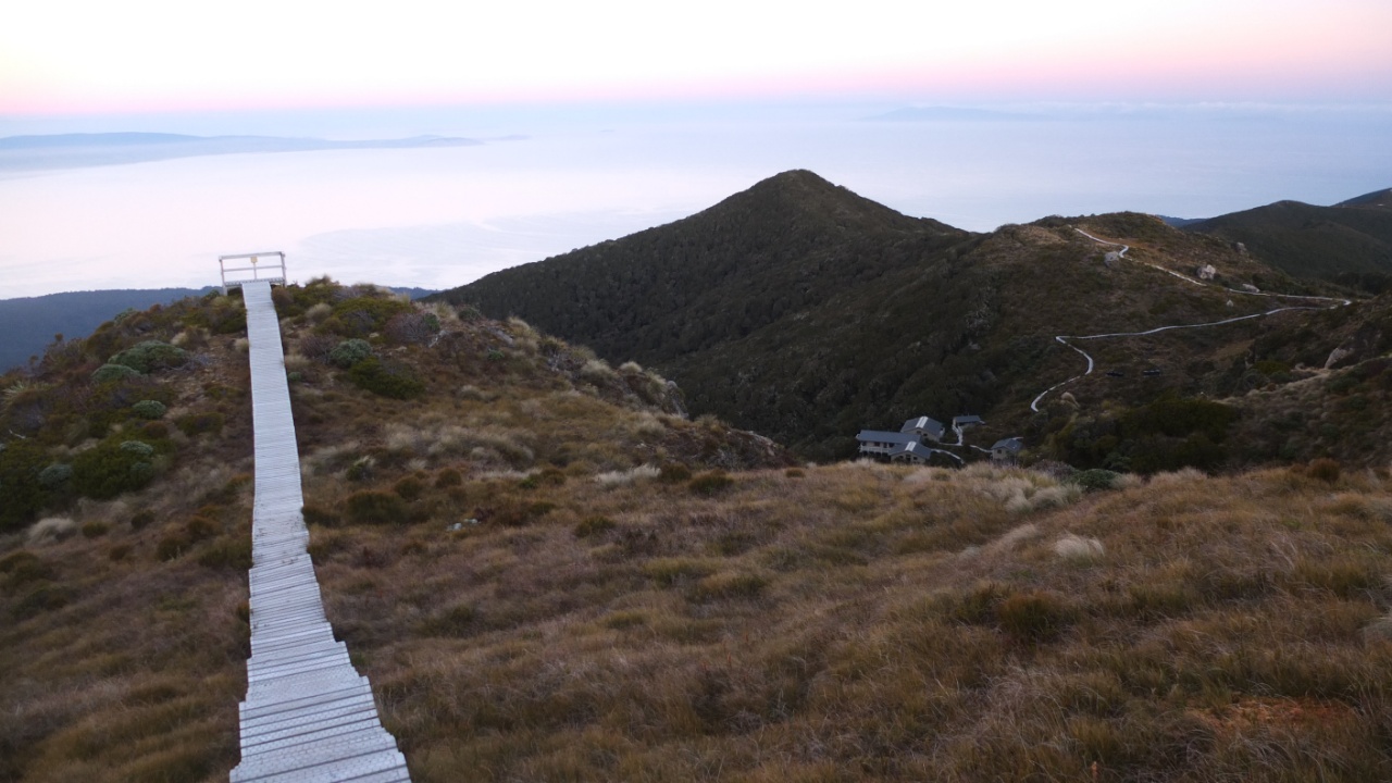
That’s cool to see the hut from the top.
Last rays are shinning on this mount.
It looks really nice there.
Simply like this shot.
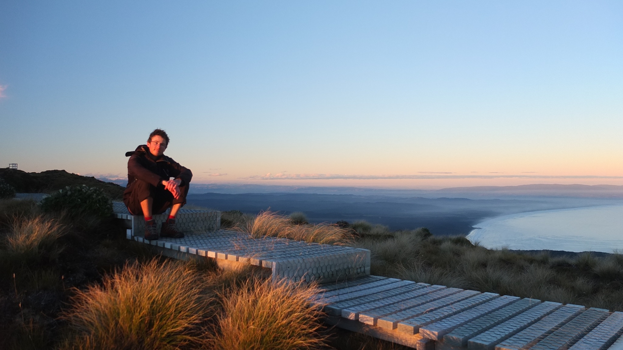
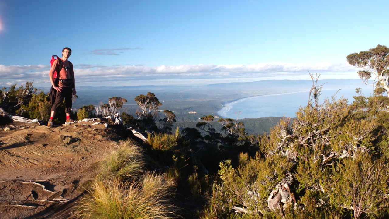
Hello :-)
This one?
Or this one? I like both :-)

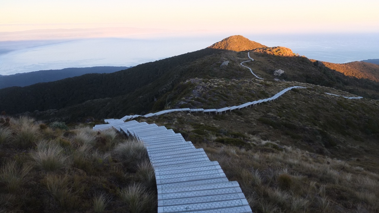
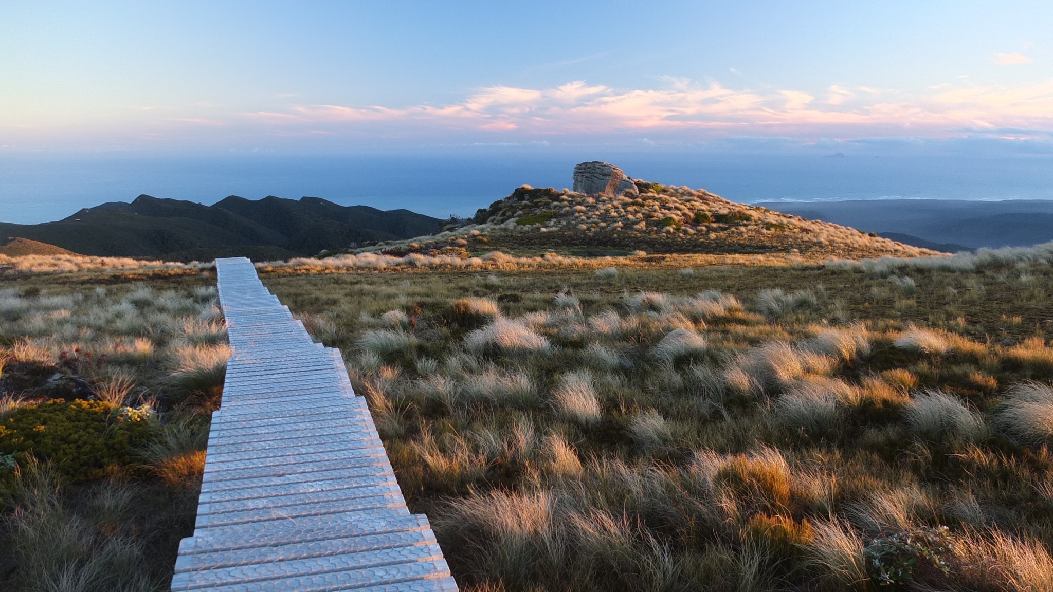
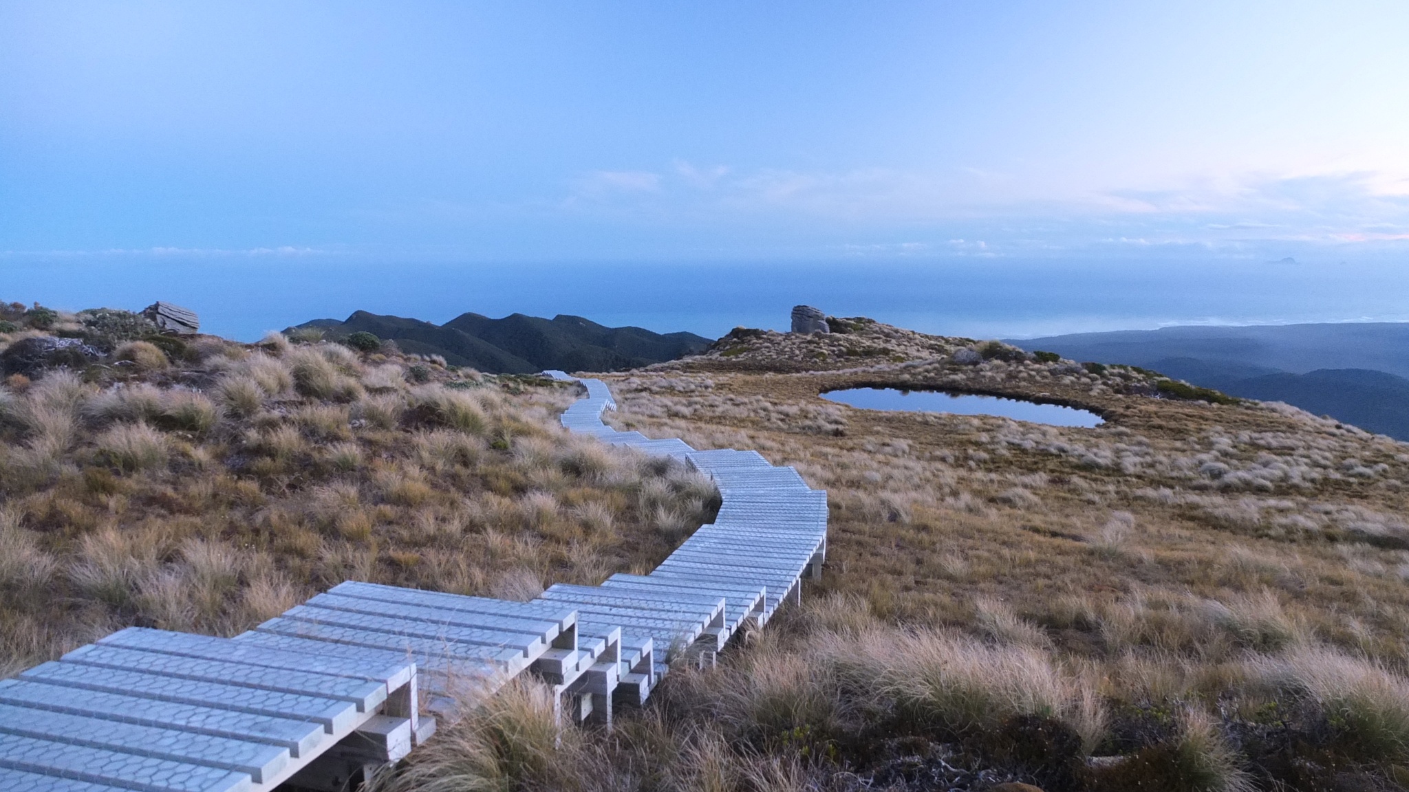
There is a loop around the top. What a great job the DOC did here!

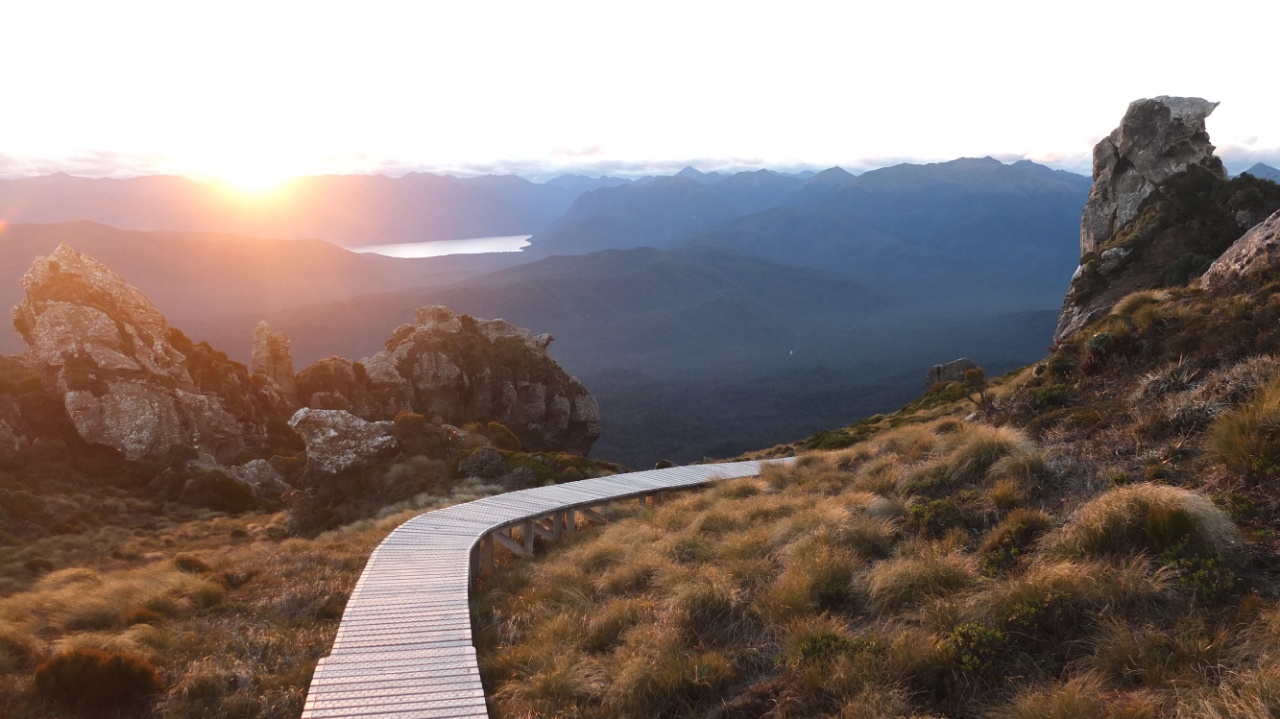
Unfortunately the clouds hide the sun now but it’s still beautiful. We can see the lake Poteriteri from here, the second deepest lake of south island.

Panoramic view, too much pictures today :-)
I’m coming back toward the east and the hut now.

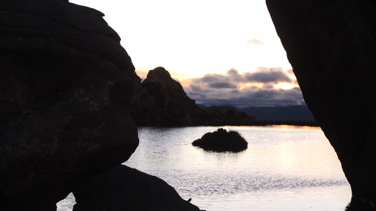
Oh, I couldn’t imaging a small lake here.
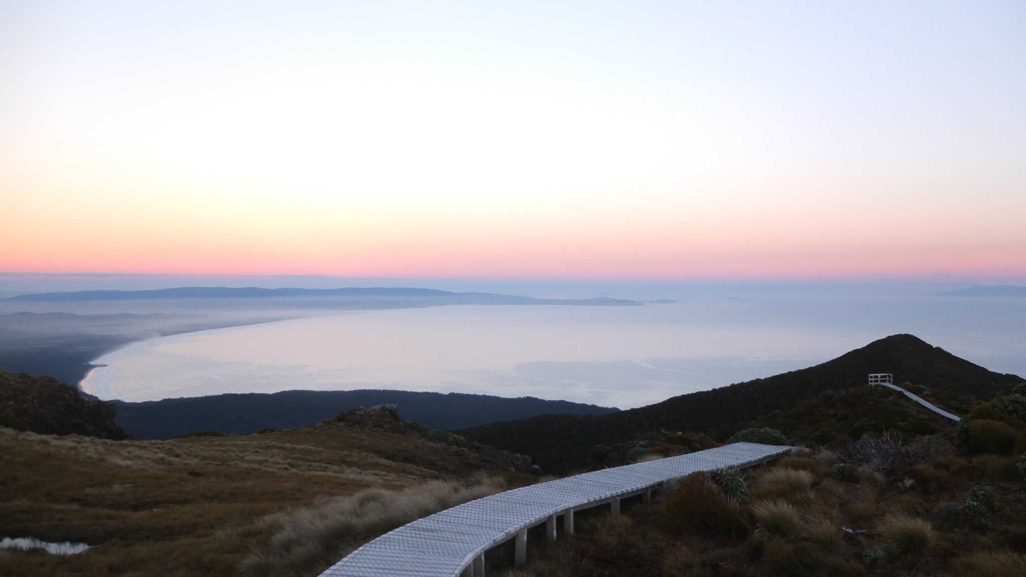
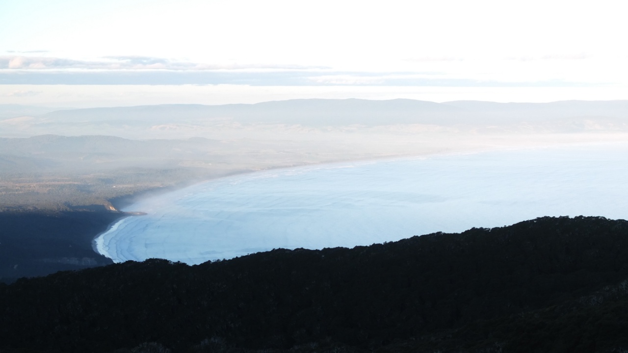
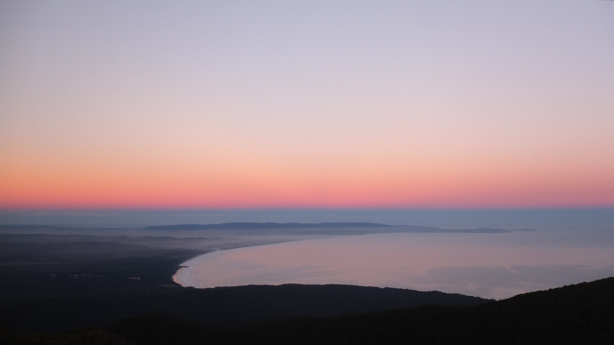
Te waewae bay again :-)
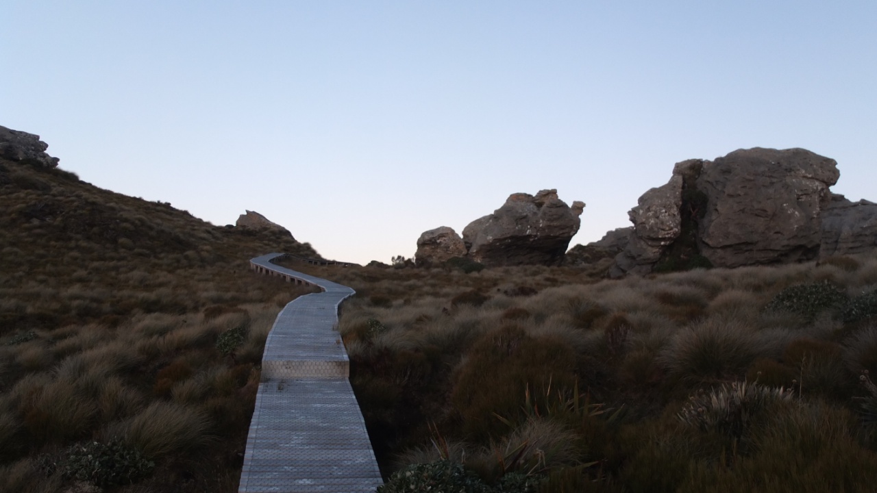
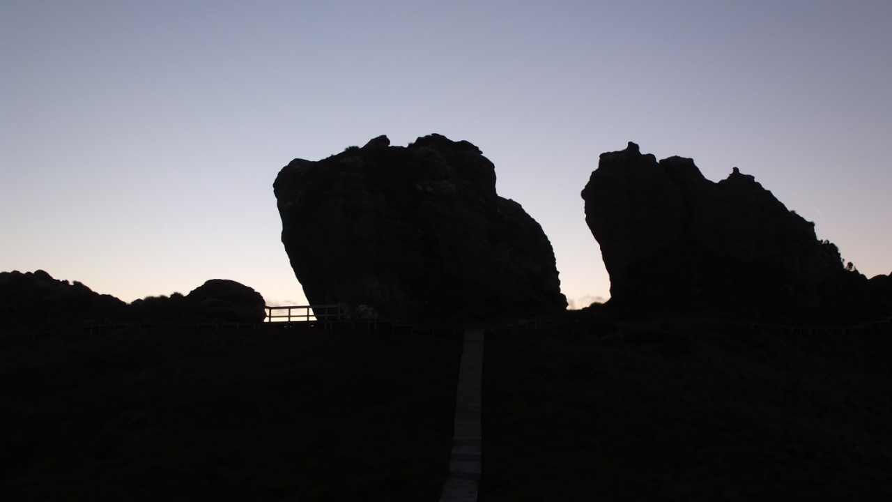
And there is the last viewpoint there :-)
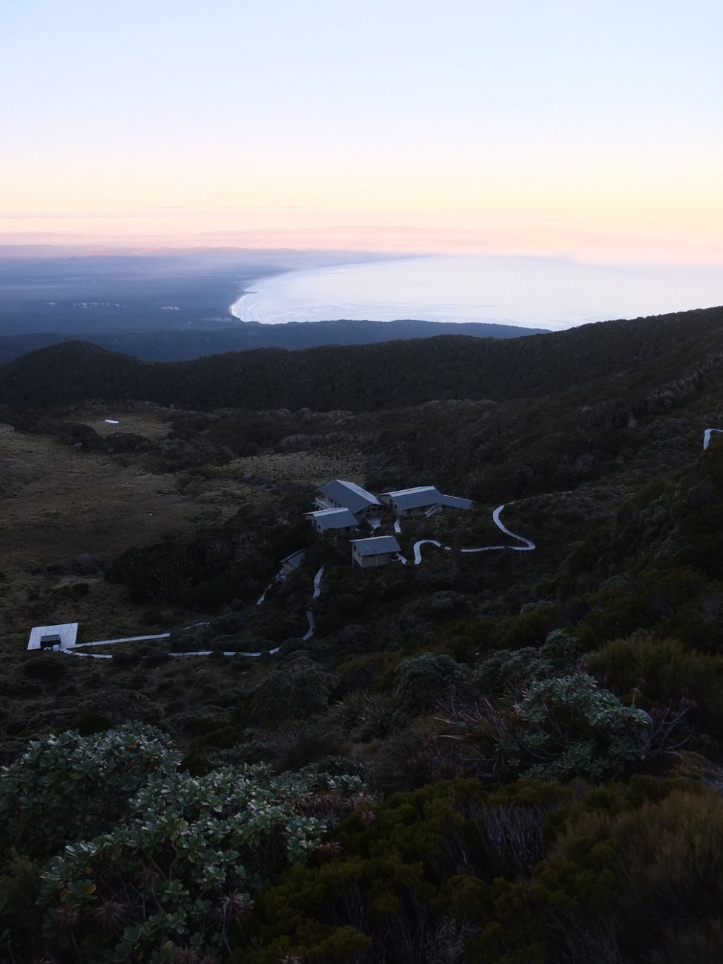
OK, the hut is still there :-)

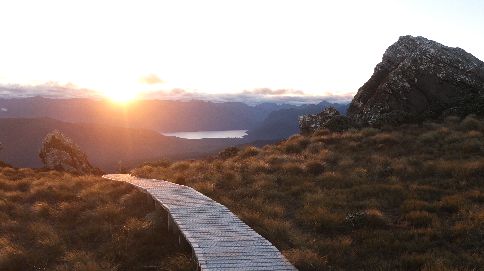
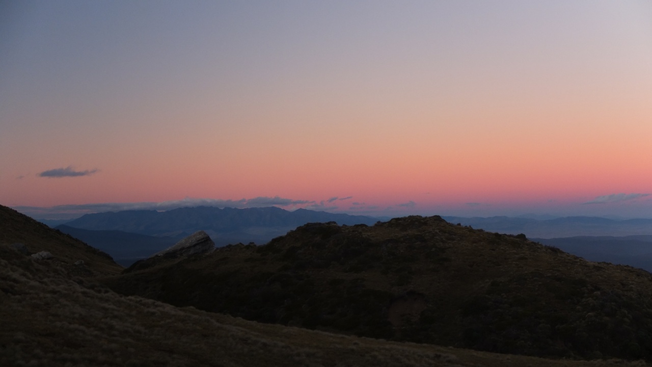
Whouooo!
It s magic!
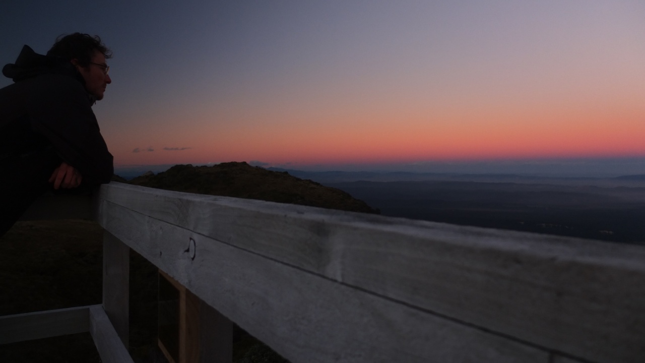
So quiet and colourful.
…
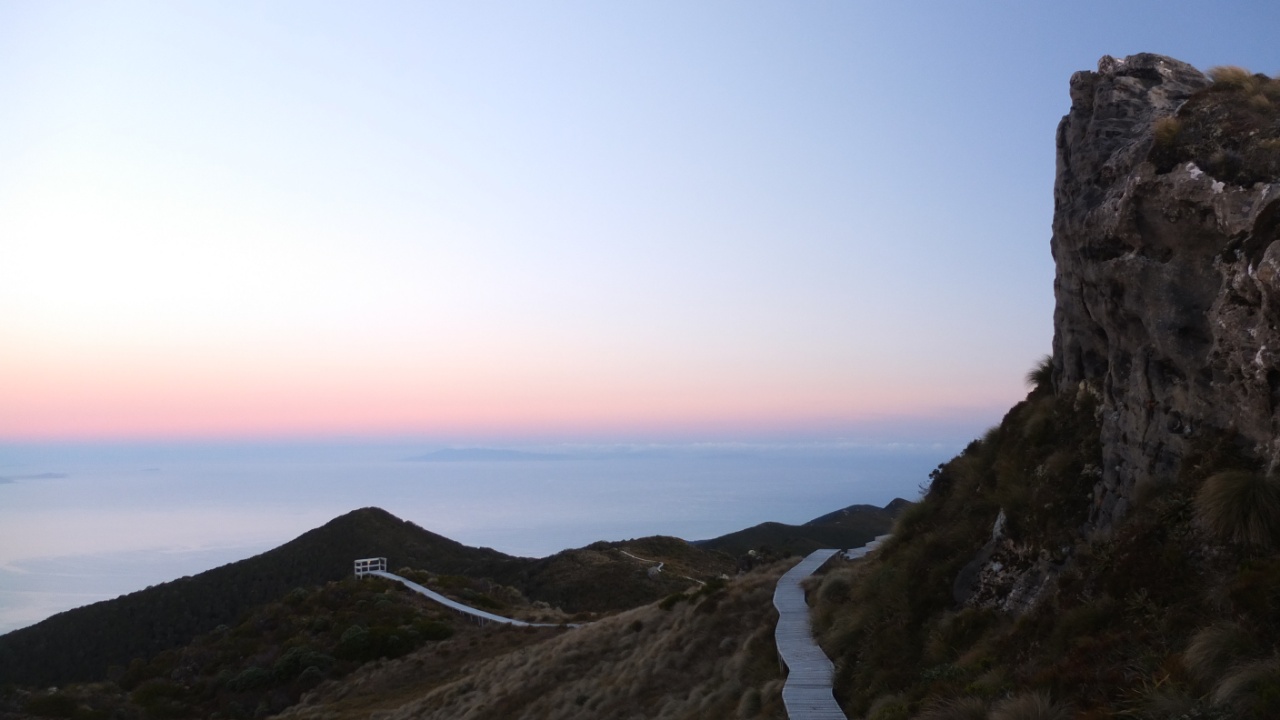
The left side.
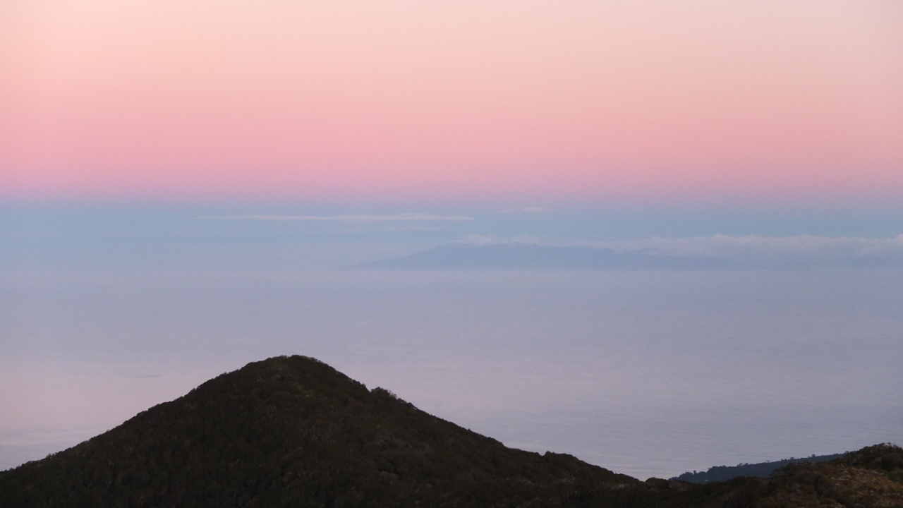
On the right side, Stewart island.
The sunset is done, I’m coming back to the hut.
Rah! I didn’t see the picture was blur…

The end of the day and it was a long sporty one!
Yes it s the same day but I’m not taking the picture front of the sun.
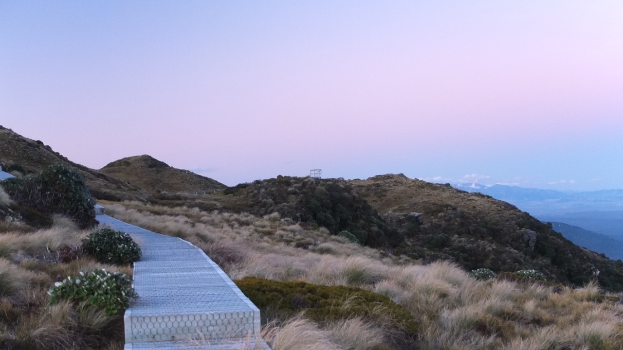
The last look toward the top. If I’ve got the energy for wake up early I will see the sunrise from there as well. I must do it :-)
Good night!