As I mentioned yesterday evening, today we are going to visit the “Seven Wells” (for seven natural pools) and something we did not plan: the “Seven Wells peak”. I must say, signs panel in this area are pretty bad. They confuse more than they inform us. And to make sure we are confuse, people told us wrong timing (about the walk) and nothing is in english. Fortunately, with all these things not in our favour, we did not get lost. Are we good? No, we simply kept going straight up until we ended to the top of Langkawi island and got nearly a 360 degrees view for free!
[sgpx gpx=”/wp-content/uploads/gpx/2016.01.05 Pentai Cenang to Pantai Pasir Hitam.gpx”]
Map.
Last night was not the most quiet one I had. We slept not really far from the main road and as usual there is a scooter passing by every 3 minutes. Plus, some guys came yesterday night to have some fun on the beach. They did not stay very long and did not bother us but during that time I did not really sleep, just in case. Nothing happened of course.
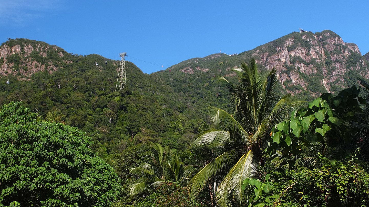
Actually, there was around 15km to get close to this mountain. A cable car reaches the top for something like 35 ringgit. We don’t know it yet but we will have the same view for free but we will spend a bit more energy :-)
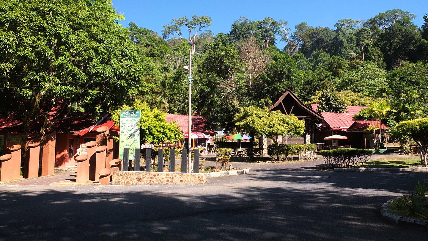
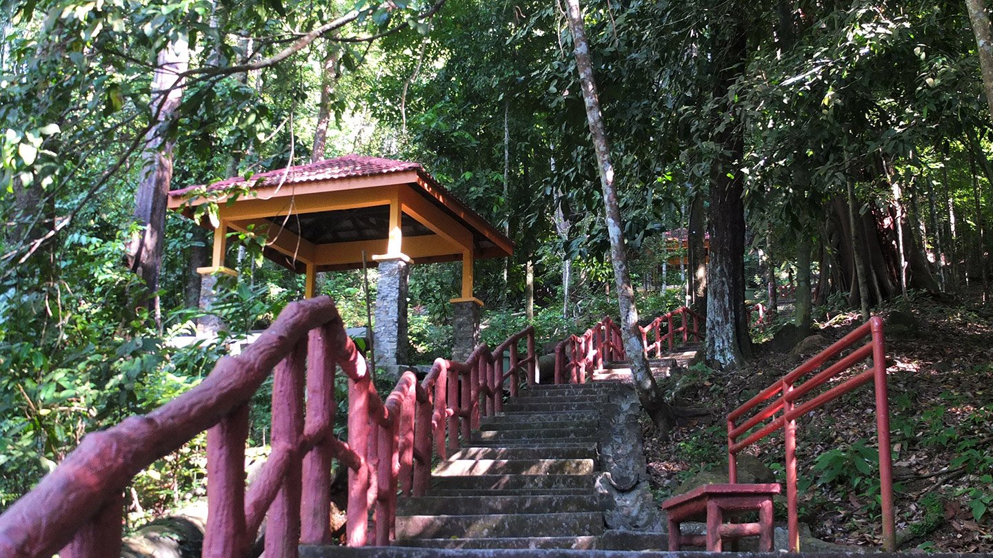
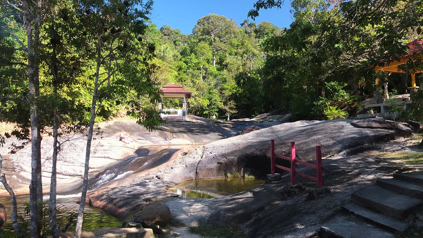
This is the “souvenir village” from where start the track to visit the “Seven Wells”. This place has 7 natural pools of freshwater. It must be nice.
Don’t follow too closely the big map panel at the entrance of the village. It won’t really help. The best choice is going straight and going up.
Hello :-)
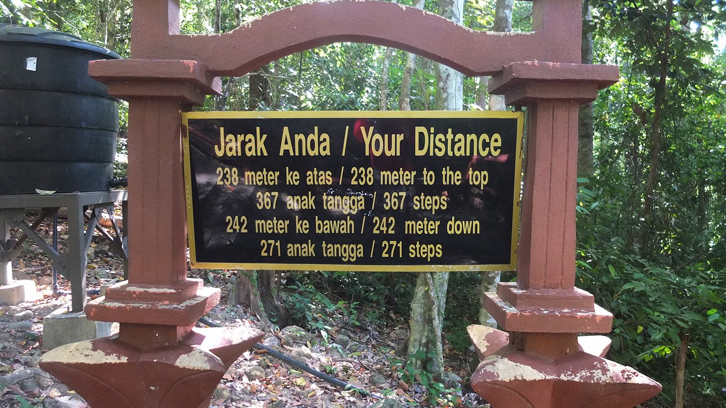
This panel looks complicate. Why do we need all these informations? Just tell us an average of time to reach the destination.
Just climb up.
We met a guy at the car park who said “30 minutes” to reach to “Seven Wells”. We did that in 15/20 minutes without necessary walking very fast. Then he said “one hour for the jungle track”. A jungle track? Why not.
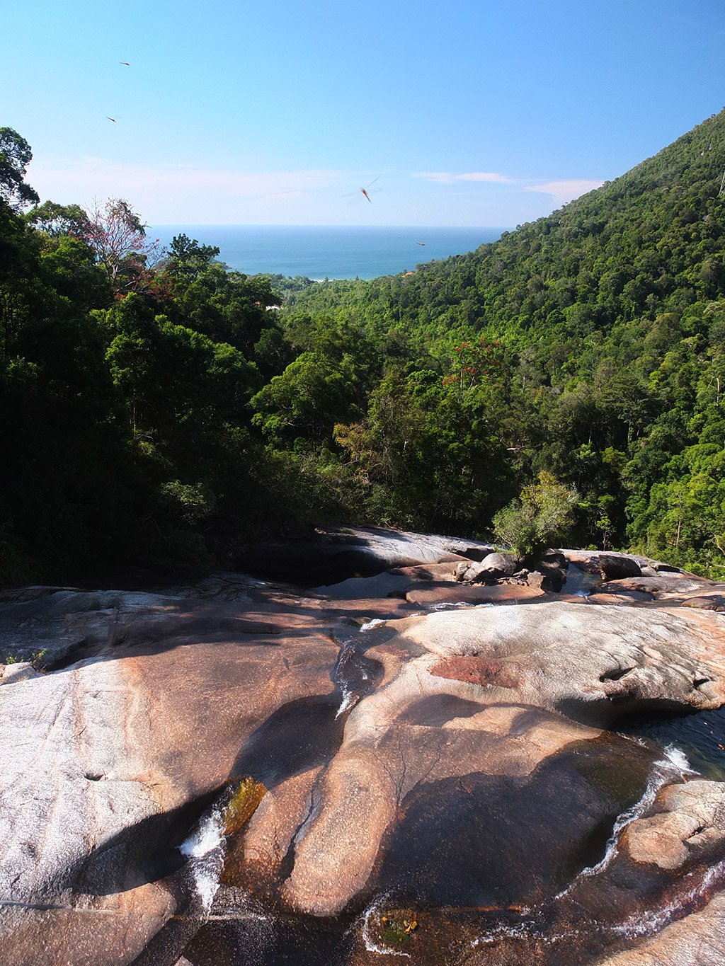
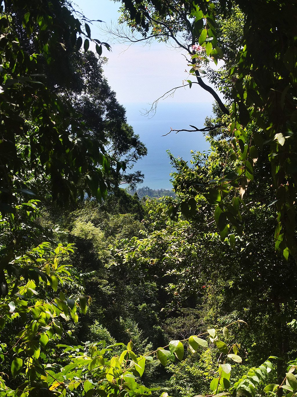
The view is nice from here. It must be much better from the cable car lookout.
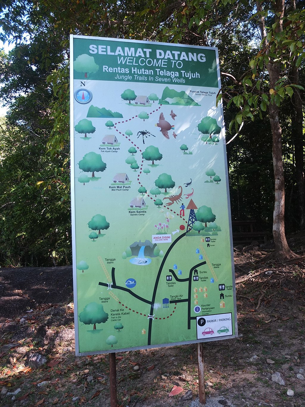
Ah, this is the panel I was talking about previously. We started at the carpark (bottom left corner) and wanted to reach the red dot where it’s written “Anda disini” (you are here). How did we do that? This is magic! Even now I still don’t understand this map… haha.
We will have a swim when we will be coming back from the jungle trail. The guy said one hour so it should take us maybe 1h30 return, I would say. That’s good enough.
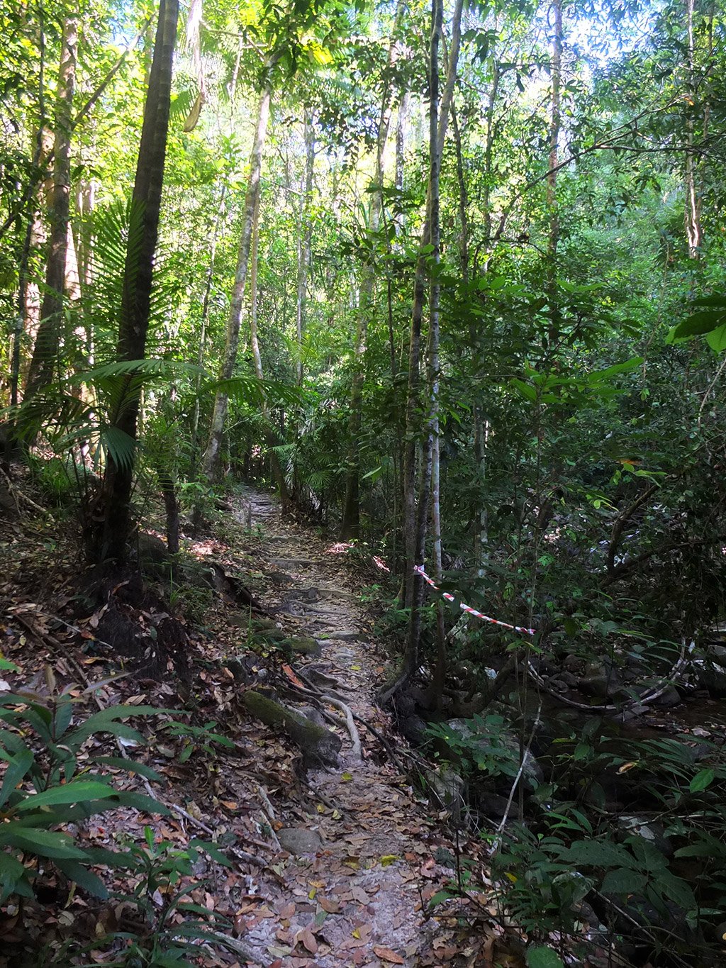
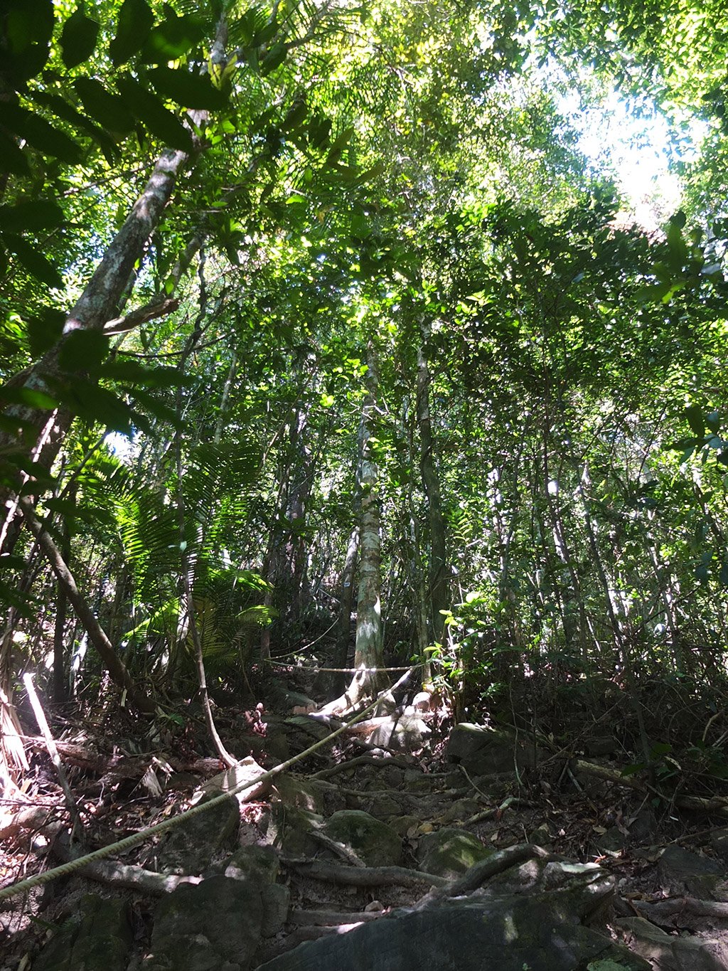
Let’s visit this forest.
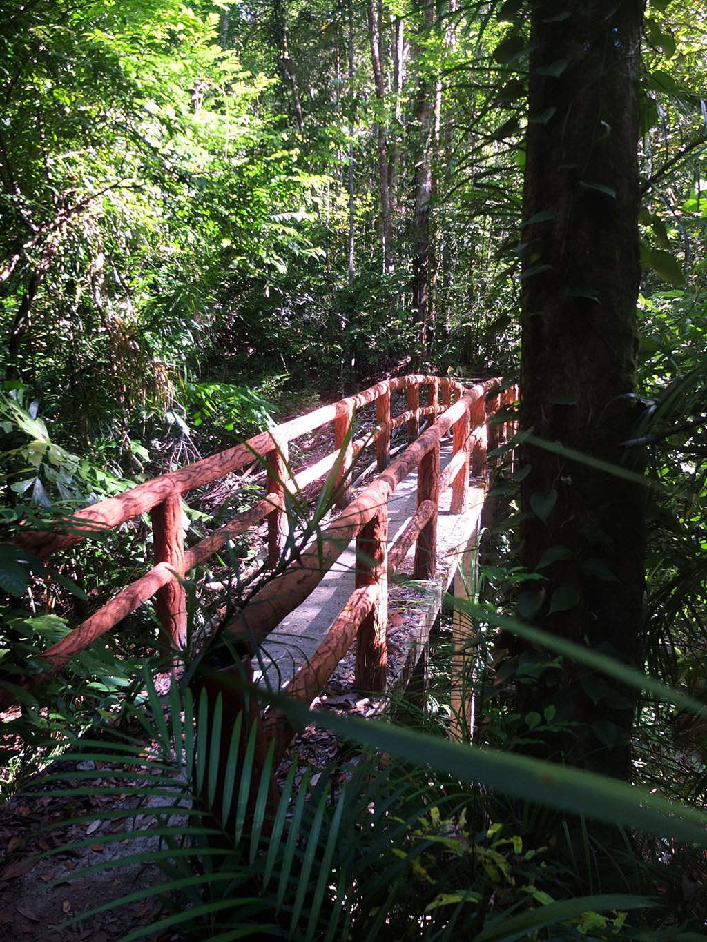
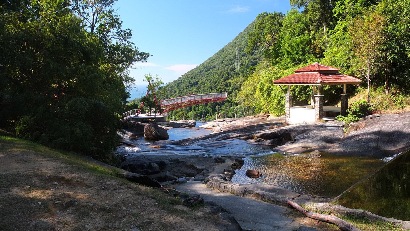
Hmm, ok a fake wooden bridge built with concrete.
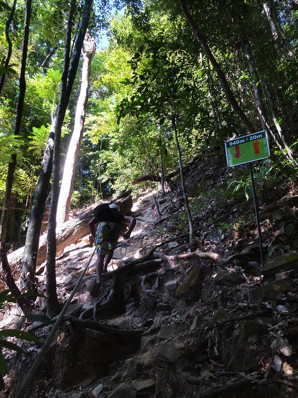
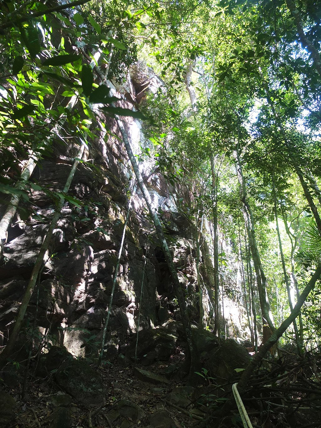
We walked about 40 minutes now. The summit seems not far away but there is something wrong. I don’t imagine any lookout anytime soon. The forest is thick. it’s very hard to see through and observe the landscape. Let’s climb those last 20 metres and see what happens.
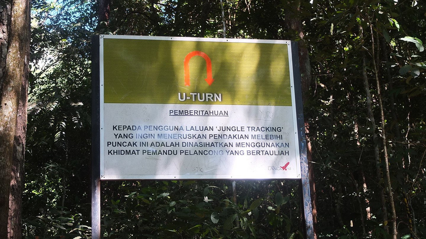
Ah… Very nice! U-turn, I get it but what about the rest? There is no view! nothing! I did not take my phone so I cannot translate this important information… (Once we were back, I translated this text which says roughly: if you are already tired, don’t go further because you will die. Do a U-turn now. This is your last chance”).
The guy from the carpark told us it takes about an hour. Ok but an hour to go where? That’s a good question? We have done 40 minutes until now. On the left hand side of the big sign, the trail continued so we decided to keep going. Maybe we are going down, back to somewhere. We don’t know really. That’s the best lookout we got until now.
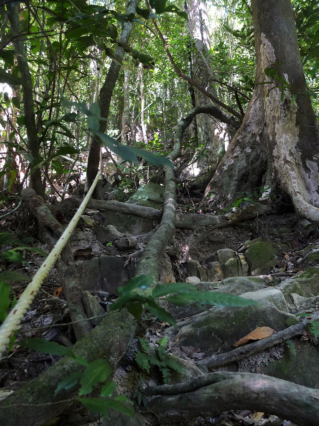
Nope, this trail is not going down for sure! It’s even very steep indeed.
I try to catch in photo that steepness but the result is not relevant.
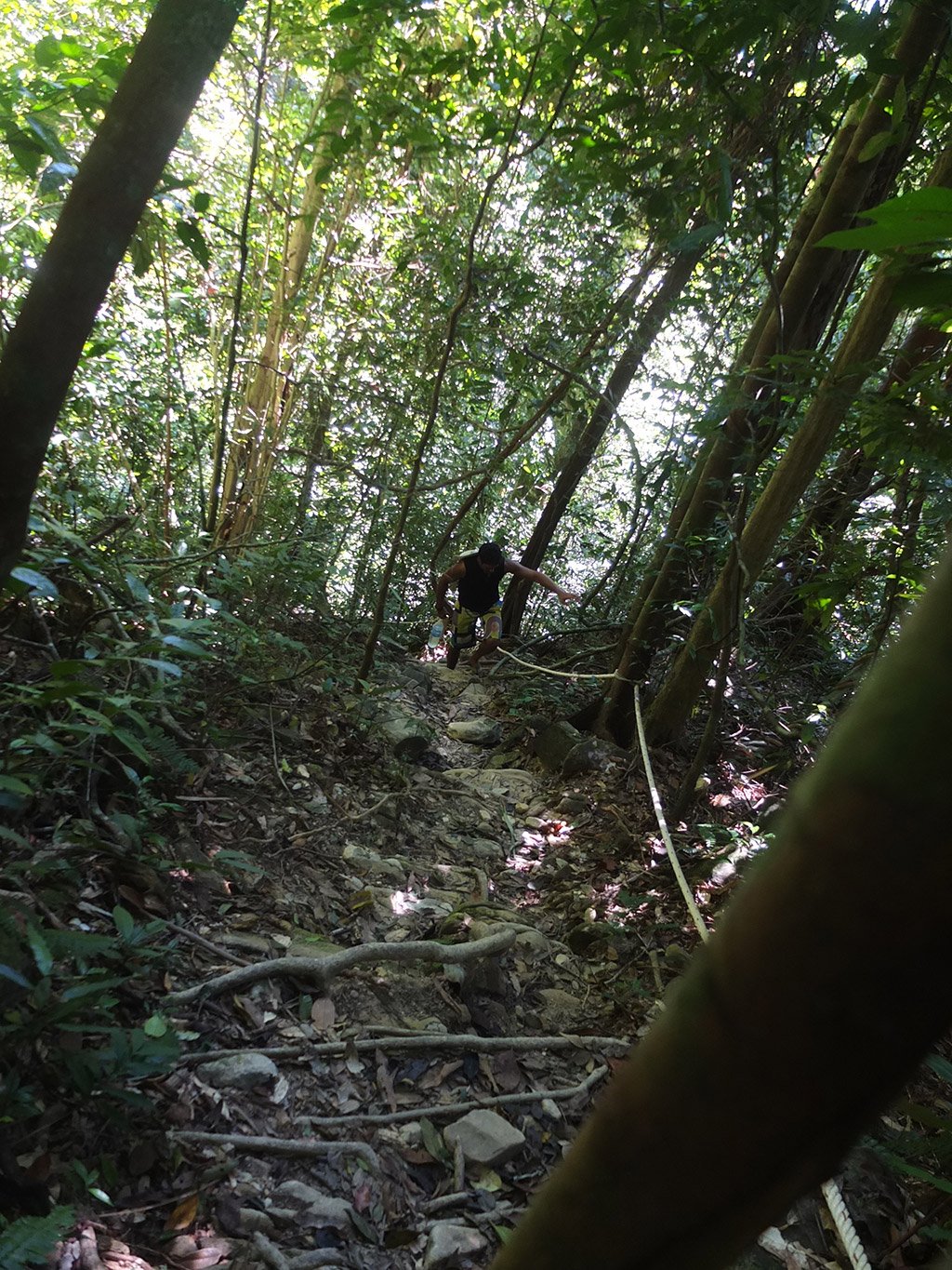
The climb goes on an on. At this point, we spent more than the hour expected but we are quite sure that it leads to a summit somewhere.
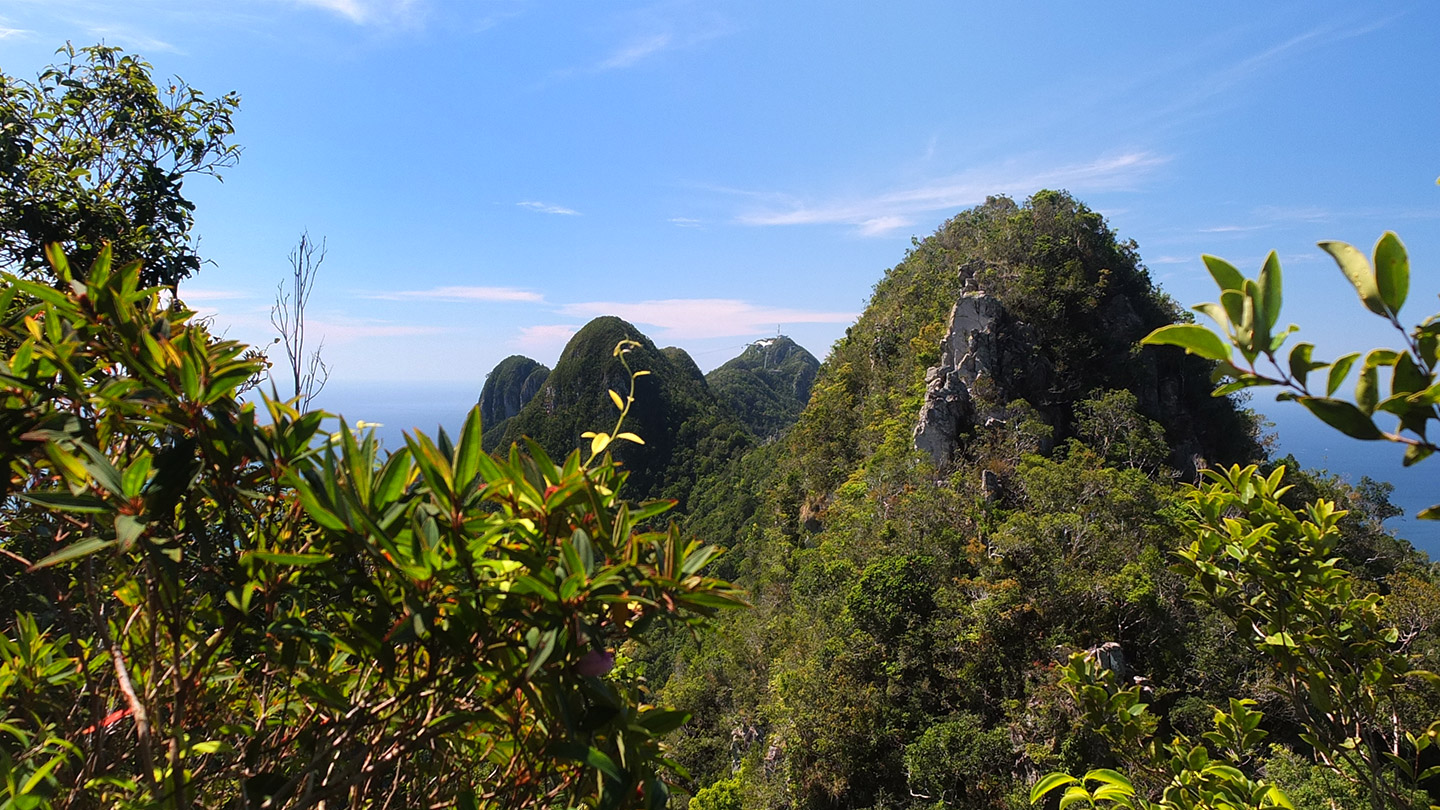
We’ve just met someone on the track! We are not alone. Guess what? The guy was French too haha. The summit is about 20 minutes away and the view is stunning, good :-)
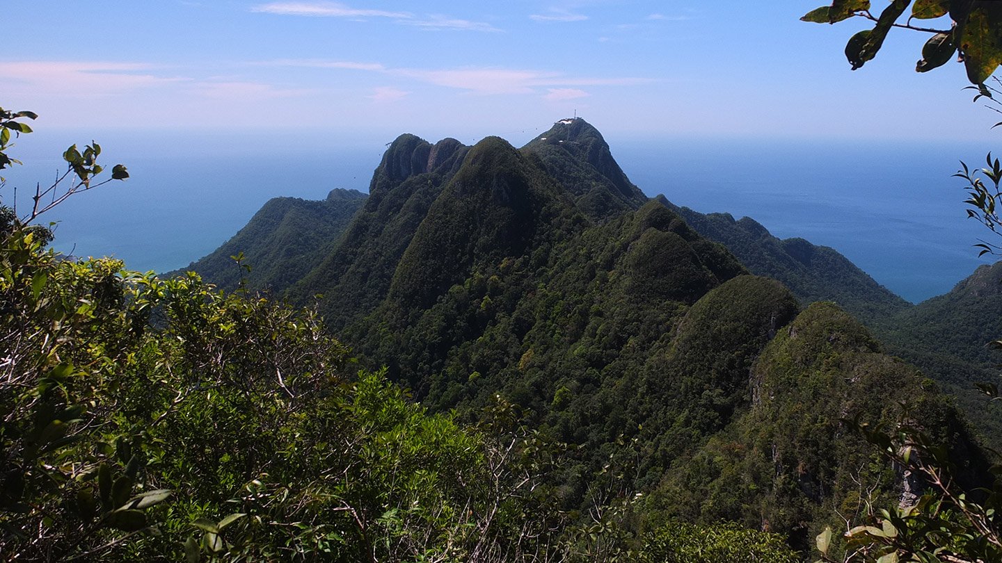
Wow! effectively! This is not the summit but it gives a good idea of what is gonna be very soon. Far away, we can see the cable car and its lookout platform. When we were still walking blindly in the forest we thought we would maybe ended up next to it. And, MAYBE, we could go down by this cable car. And, MAYBE, it would be free because we spent so much effort to get there. This is nice to dream haha :-)
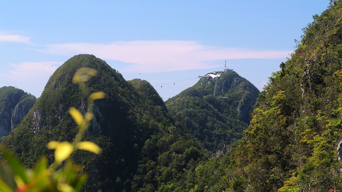
The cable car station. Looks like we are even higher.
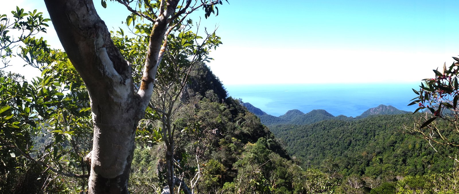
Still climbing… We can see the northern side of Langkawi island. Nice!
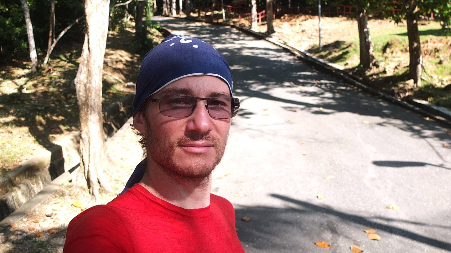
I must be tired looking at my face…
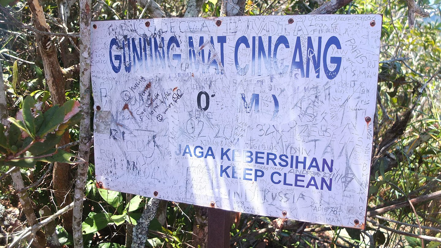
The sign says “Keep clean” so people clean the Altitude that was written on it… (internet says 1404 feet = 428 metres). It took me 1h40 to reach the top from the water pools, so about 2 hours from the carpark.
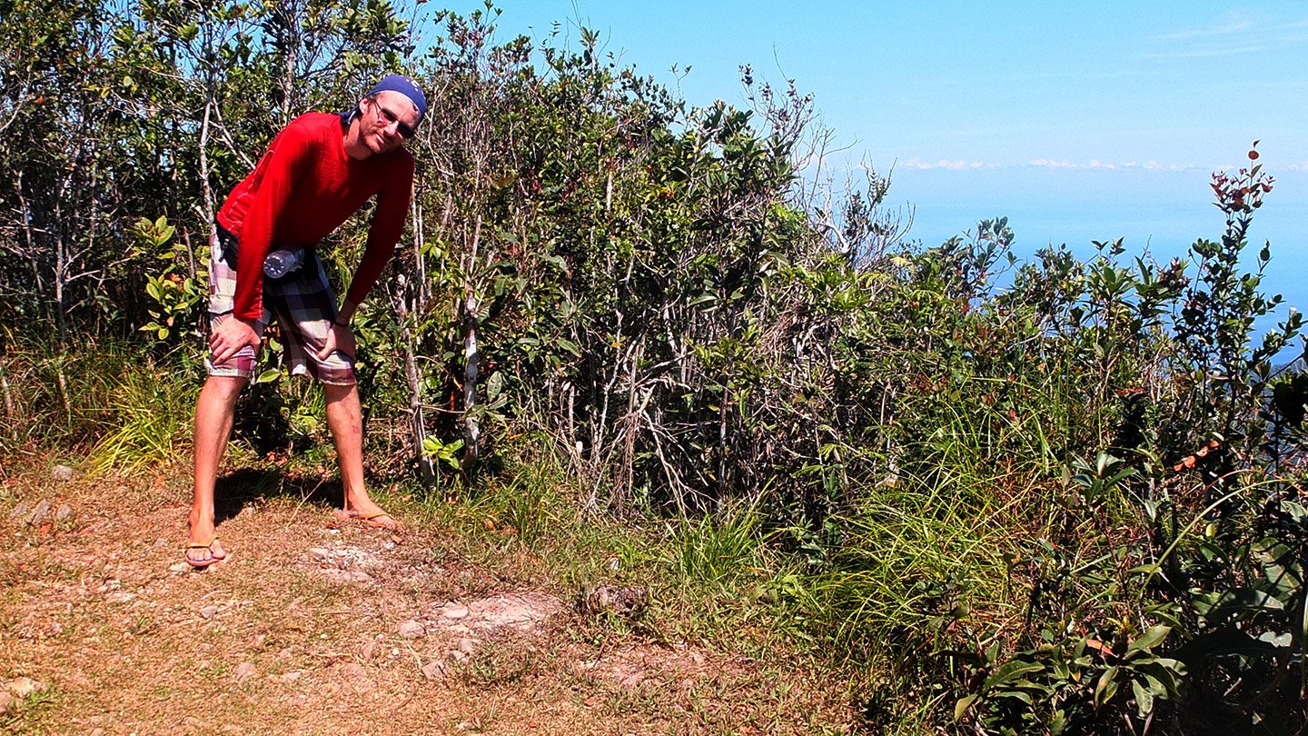
Let’s take some breath and then look at the view. I did the opposite way in real but that’s more teasing here ;-)
[fve]https://youtu.be/sLFhS_V4Qrw[/fve]
360 view in a short video.
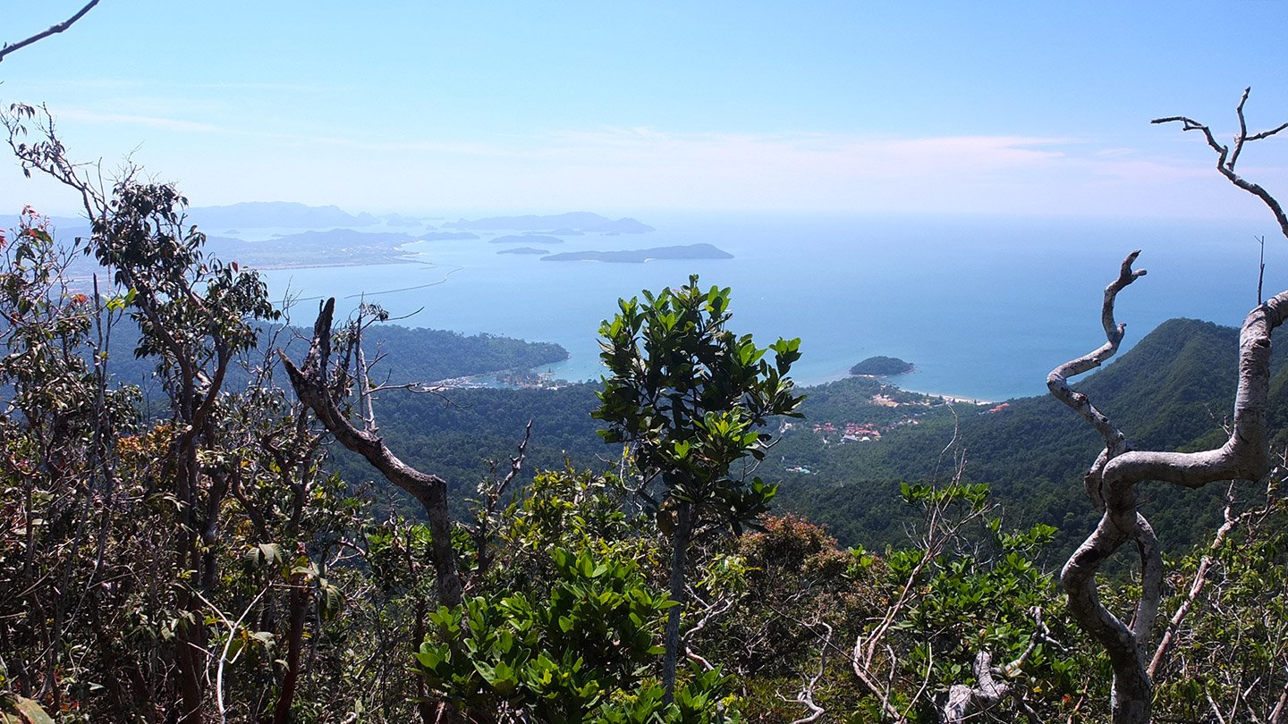
Few! very nice. I feel higher than 428 metres. That’s the southern side, where we are coming from.
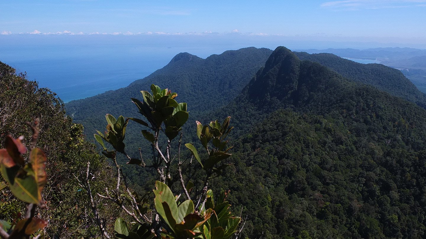
The east side.
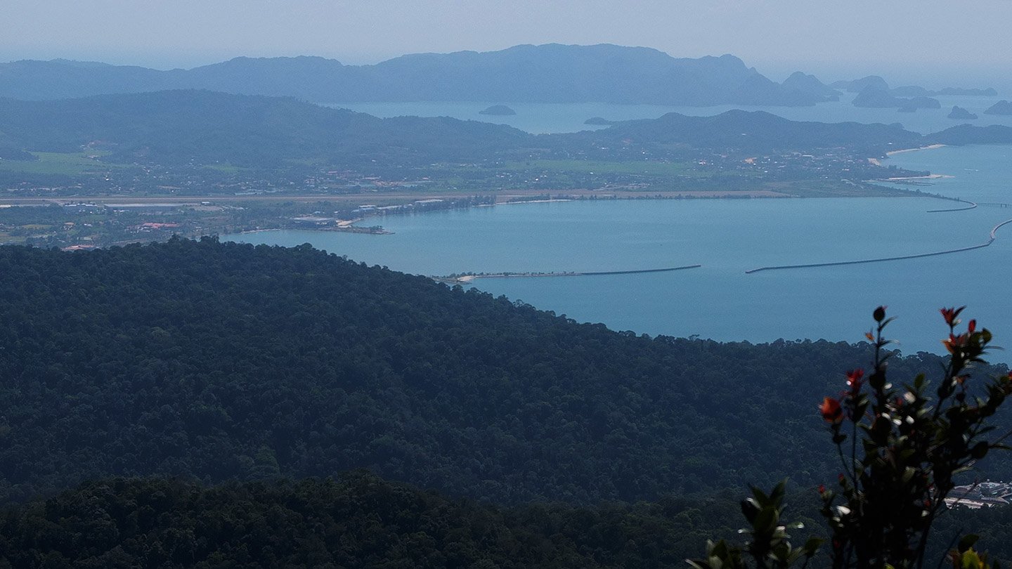
Difficult to catch all those details with my tiny camera. (I need a new one).
Better to keep an eye on closer things like this one ;-)
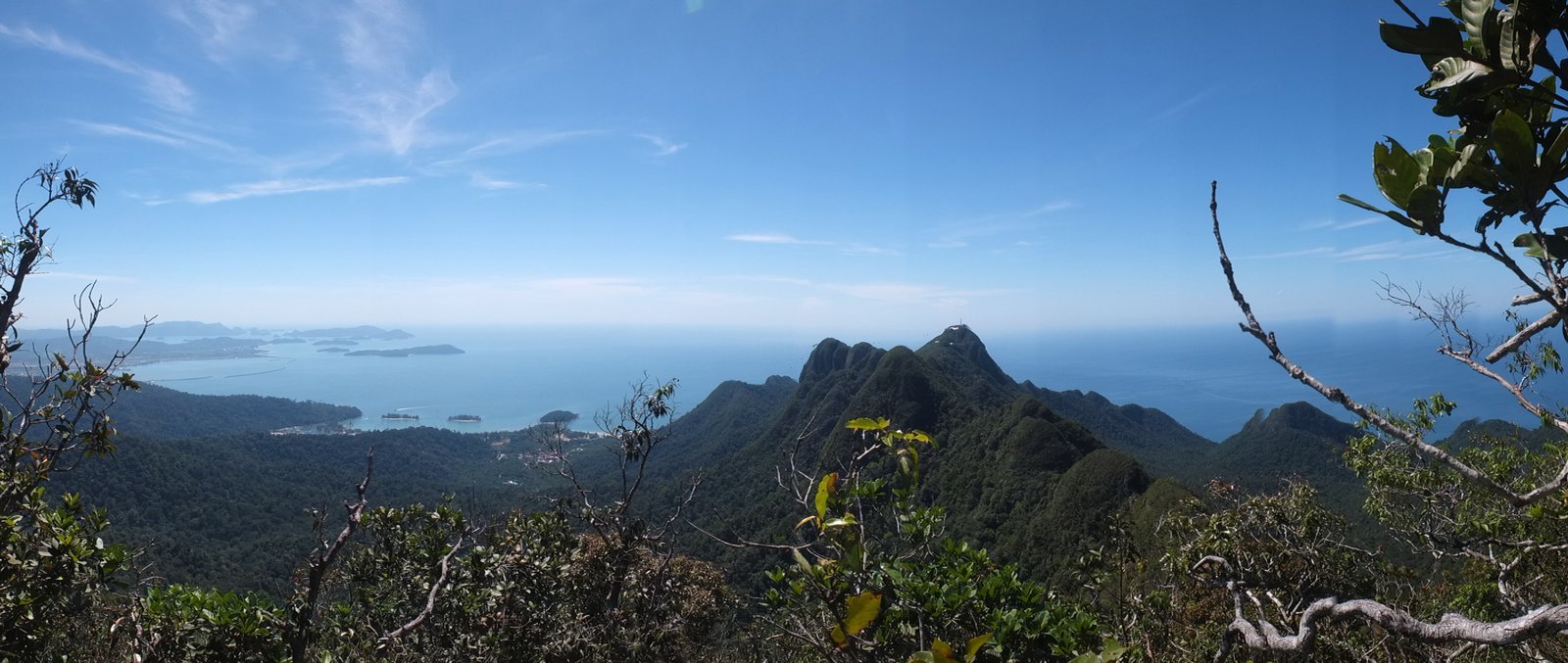
From left to right, south to west.
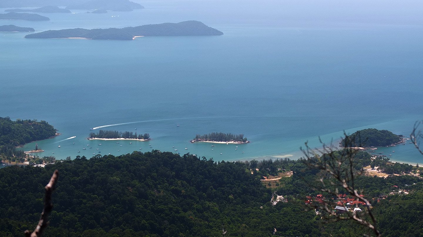
It must be nice to have a boat and sail from island to island. My next project one day, a boat! :-)
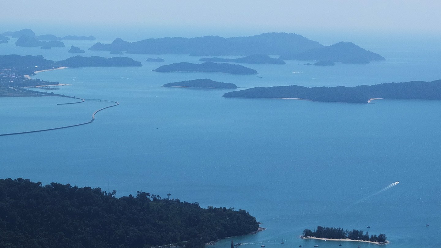
Langkawi counts 99 islands, a lot to visit!
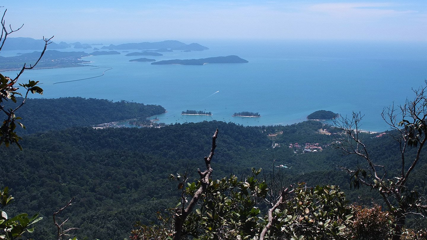
Wider view.
Let’s go back down. It is far too hot up there. We don’t have any more water neither food. The sunset or sunrise from here must be very nice. The cable car station again.
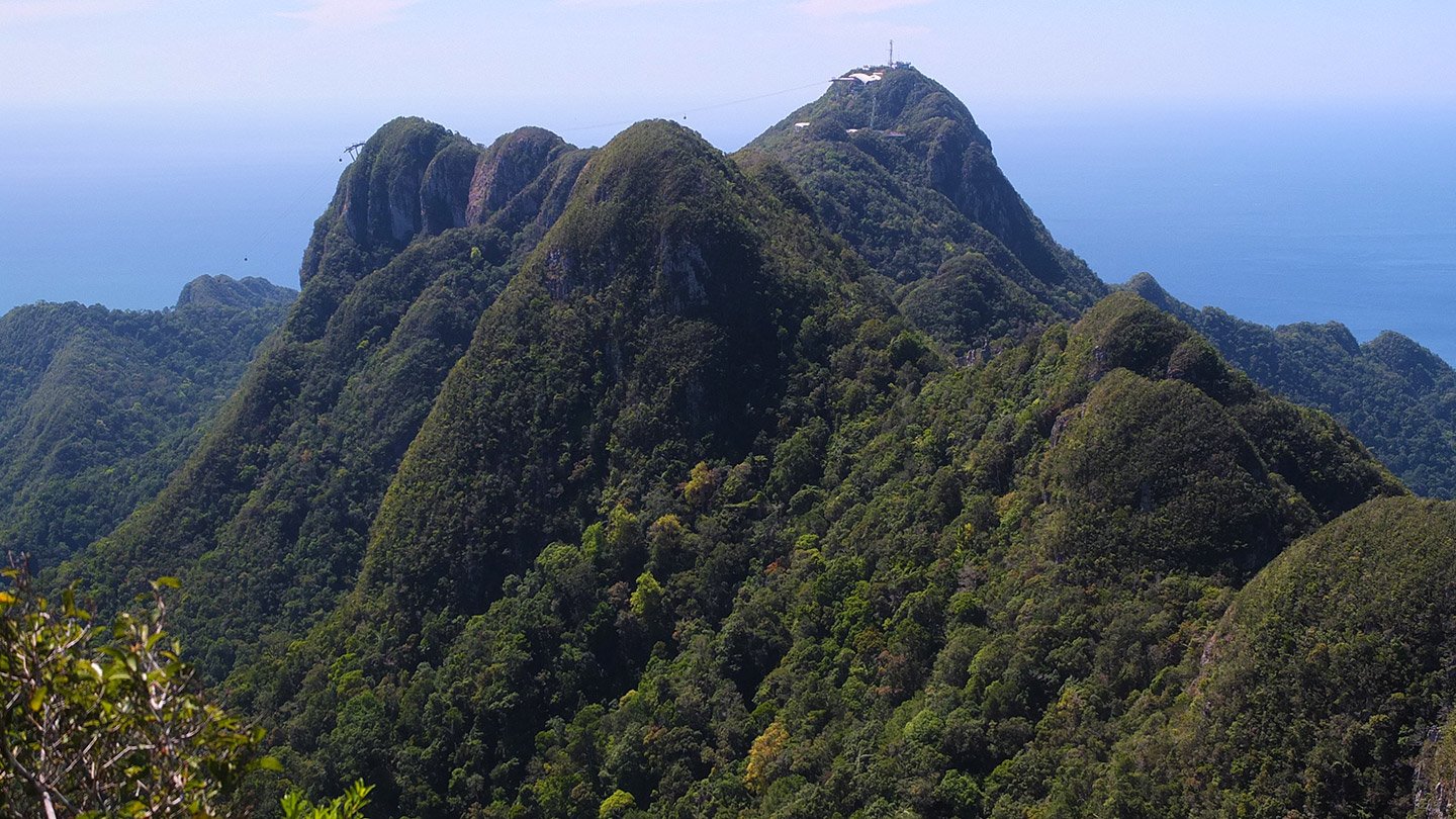
We are definitely too far to expect going down with it.
This is the way back, the same as the way up.
It’s actually more fun to go down.
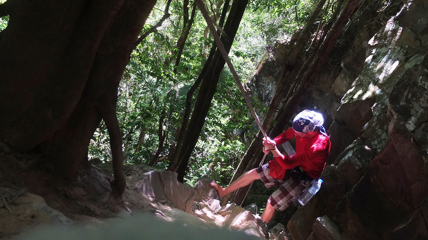
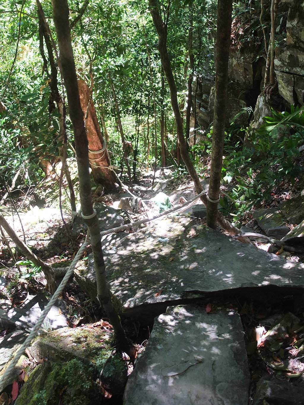
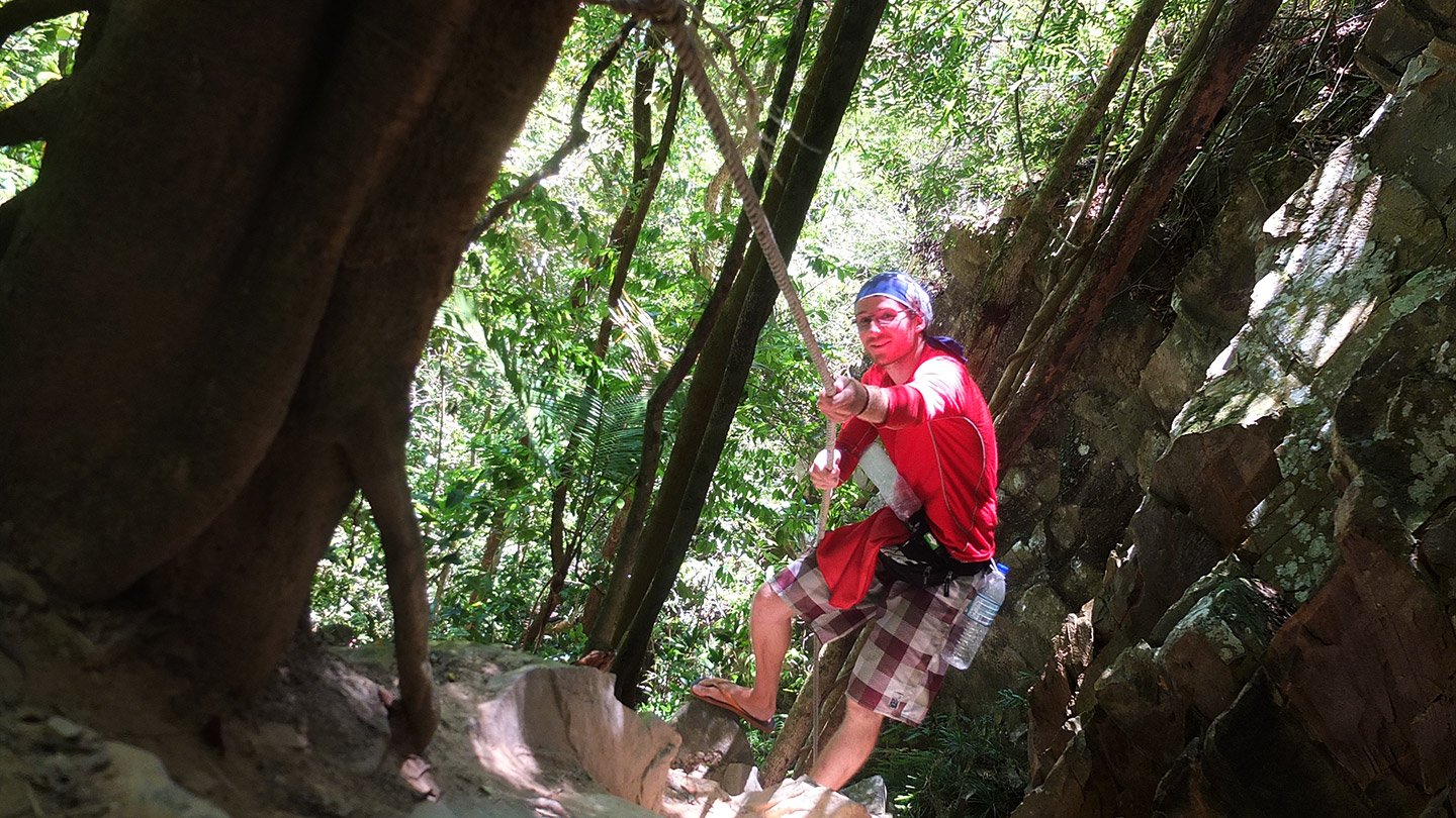
The ropes are really useful and create an adventure atmosphere.
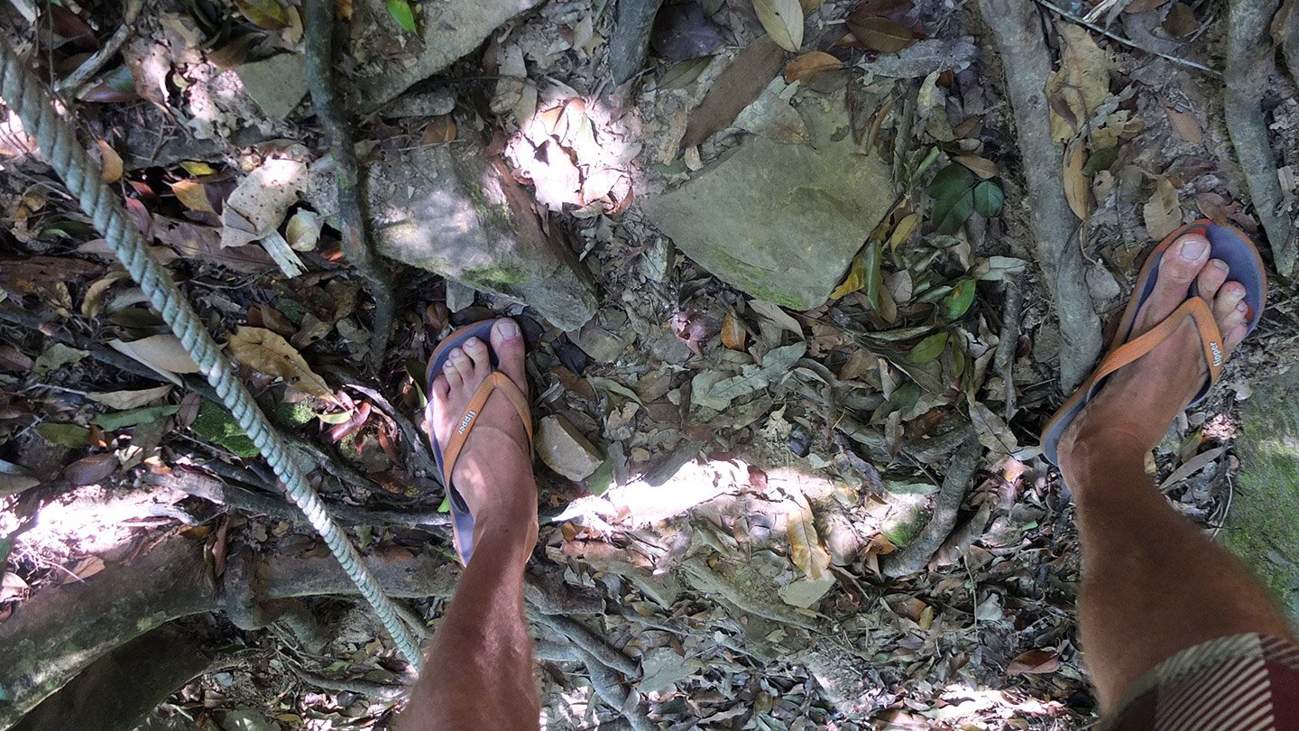
Especially being in thongs. Actually, it’s very comfortable. I would get blisters with shoes. I would say “mind your step” and all will be fine.
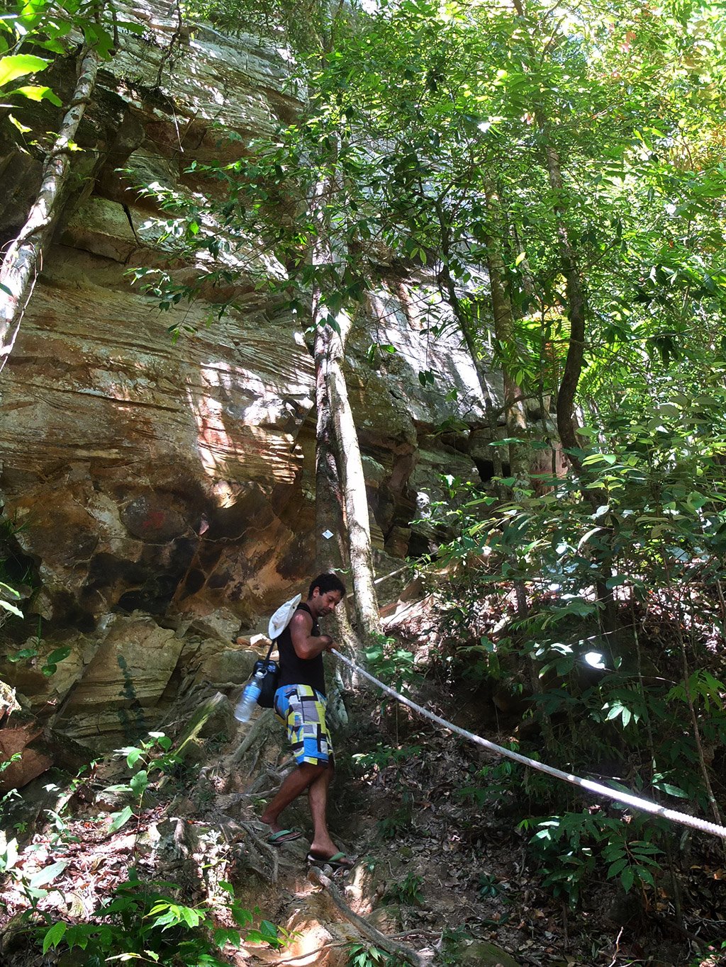
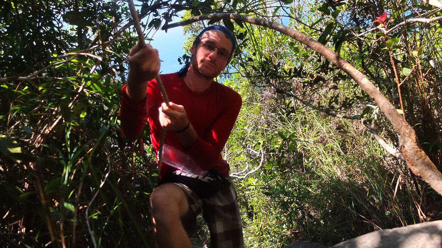
Stephane in action.
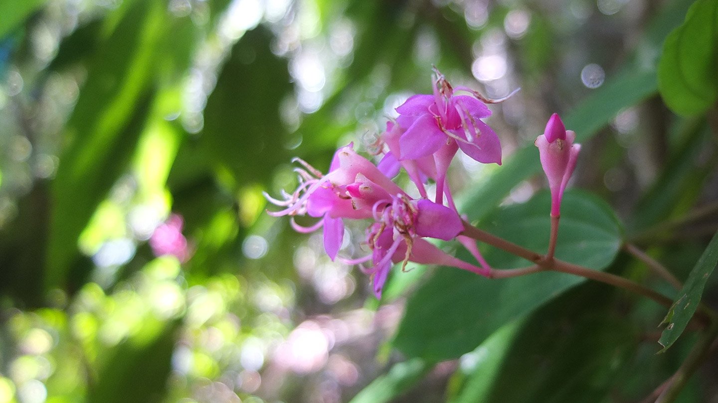
Some flowers along the way.
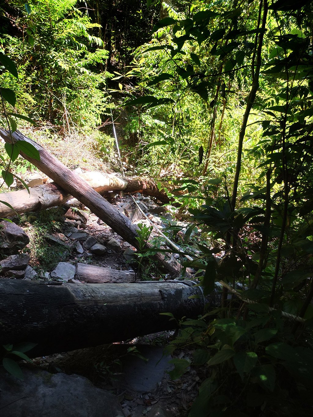
This is how steep it becomes sometimes. See the ground compared to the trees. Very steep here.
We are back to the first place that looks like a lookout which is a bit further than the big Malay sign we have seen on the way up.
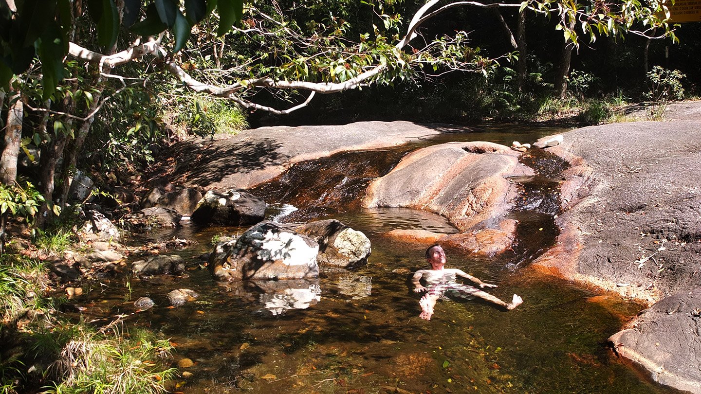
Back to the pools! even inside :-) It took us another 1h40 minutes to get back here, surprisingly the same amount of time than to climb.
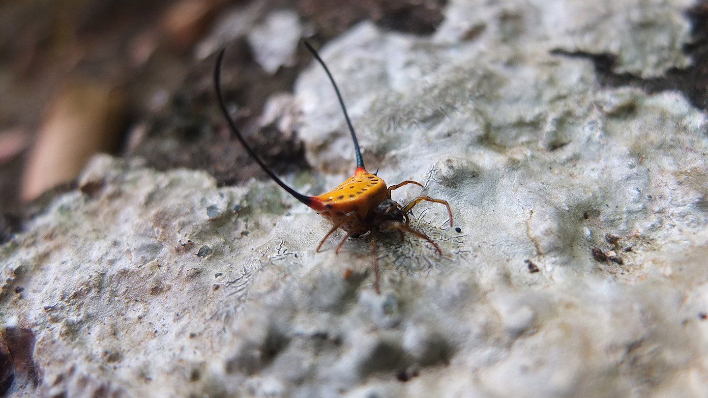
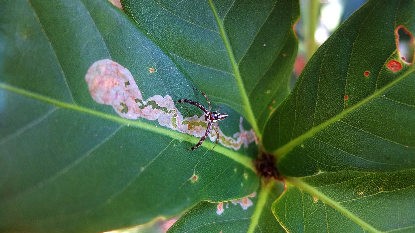
When we get back, we put our belongings on a table. Suspending to the table, this. We were not sure first. What is it?
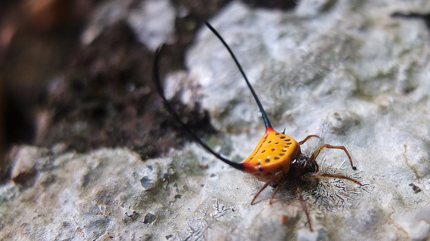
That’s a kind of spider or what? At least it’s very original.
We had a fresh swim in the pools and a rest in the shade. Around 4pm, we walked back down to the carpark and continue our journey around the island.
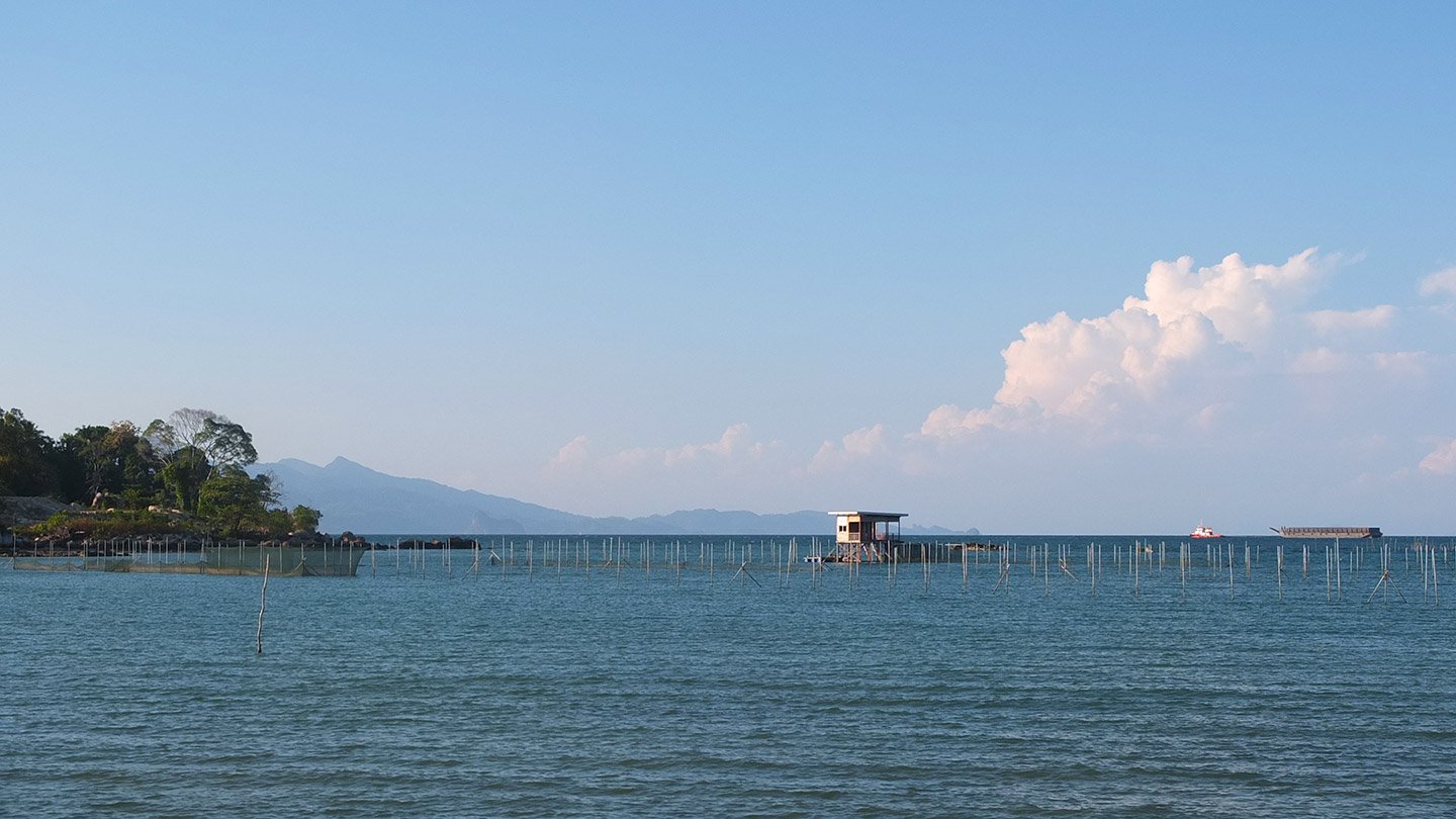
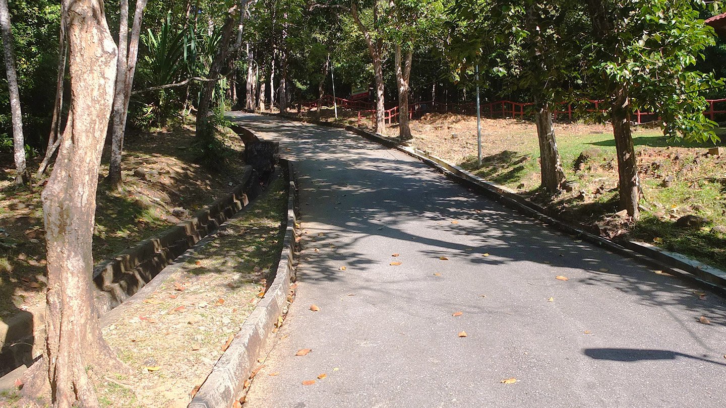
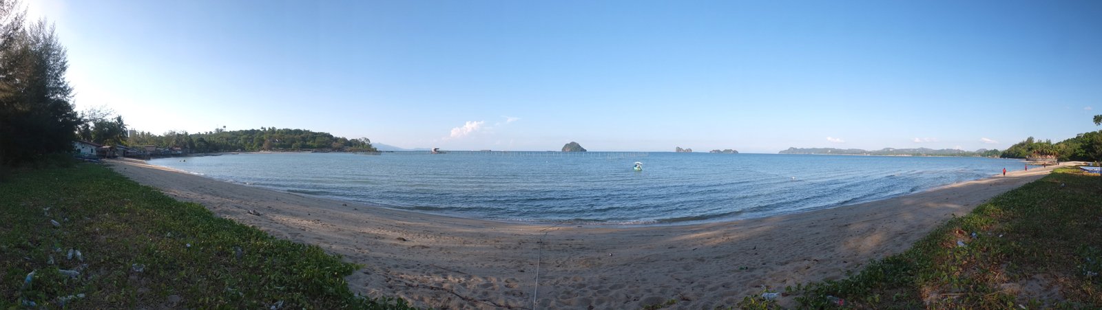
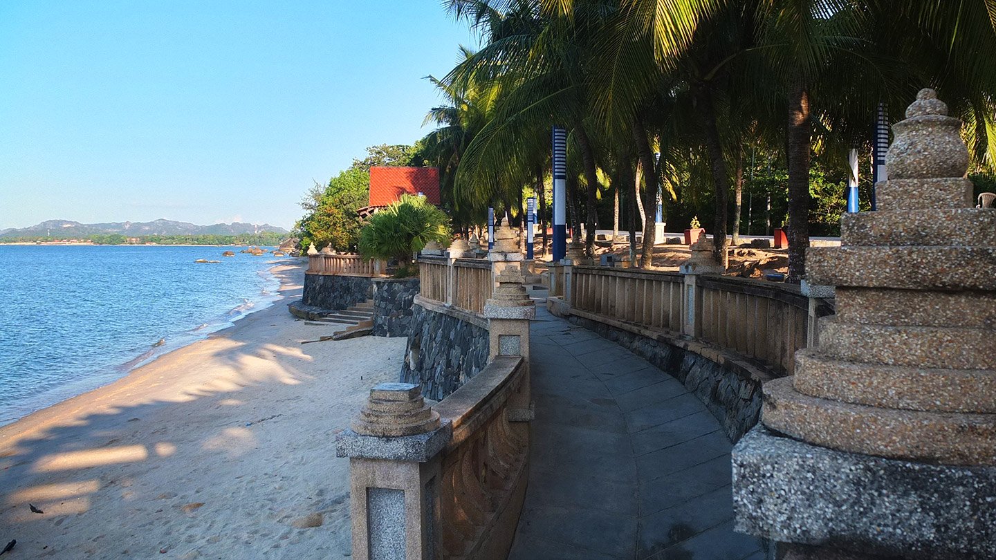
For a little while, we were cycling in the forest. Finally we are next to the water again.
This beach is huge and there is no one here.
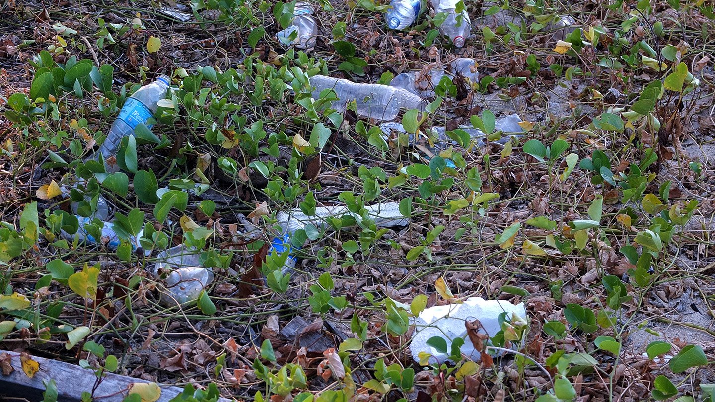
Ah, I cannot resist, sorry. There is few signs around the island that say “Keep Langkawi clean”, something like this. Visually, it’s doesn’t work on this side.
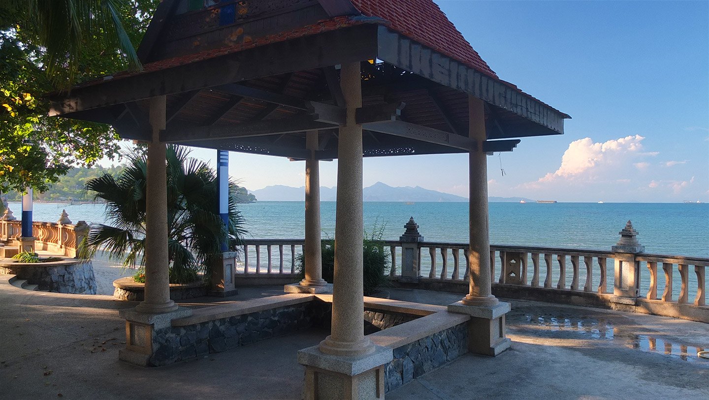
Further along the beach, this is a terrace. No one there except some teenagers making noise with their motorbike.
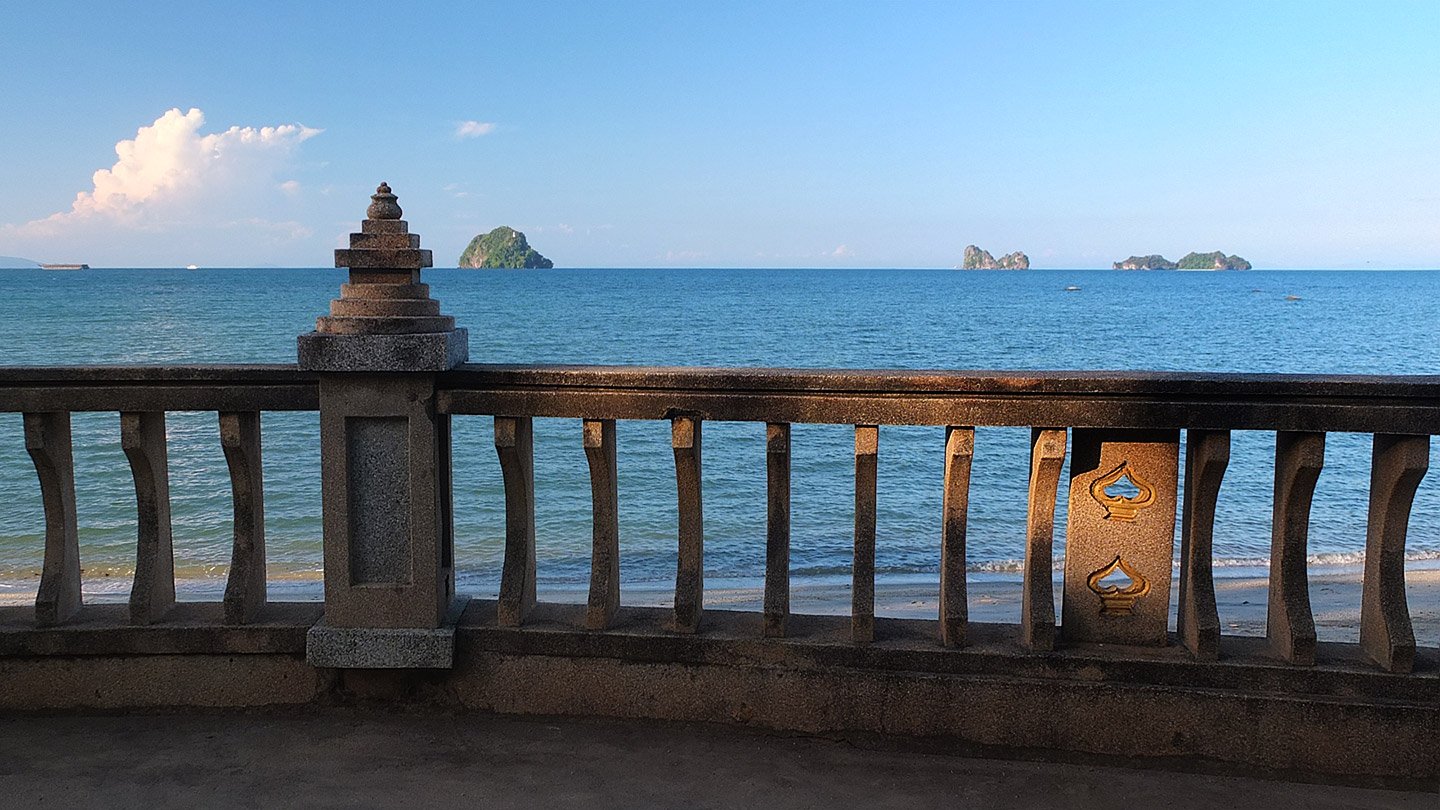
Nice view anyway.
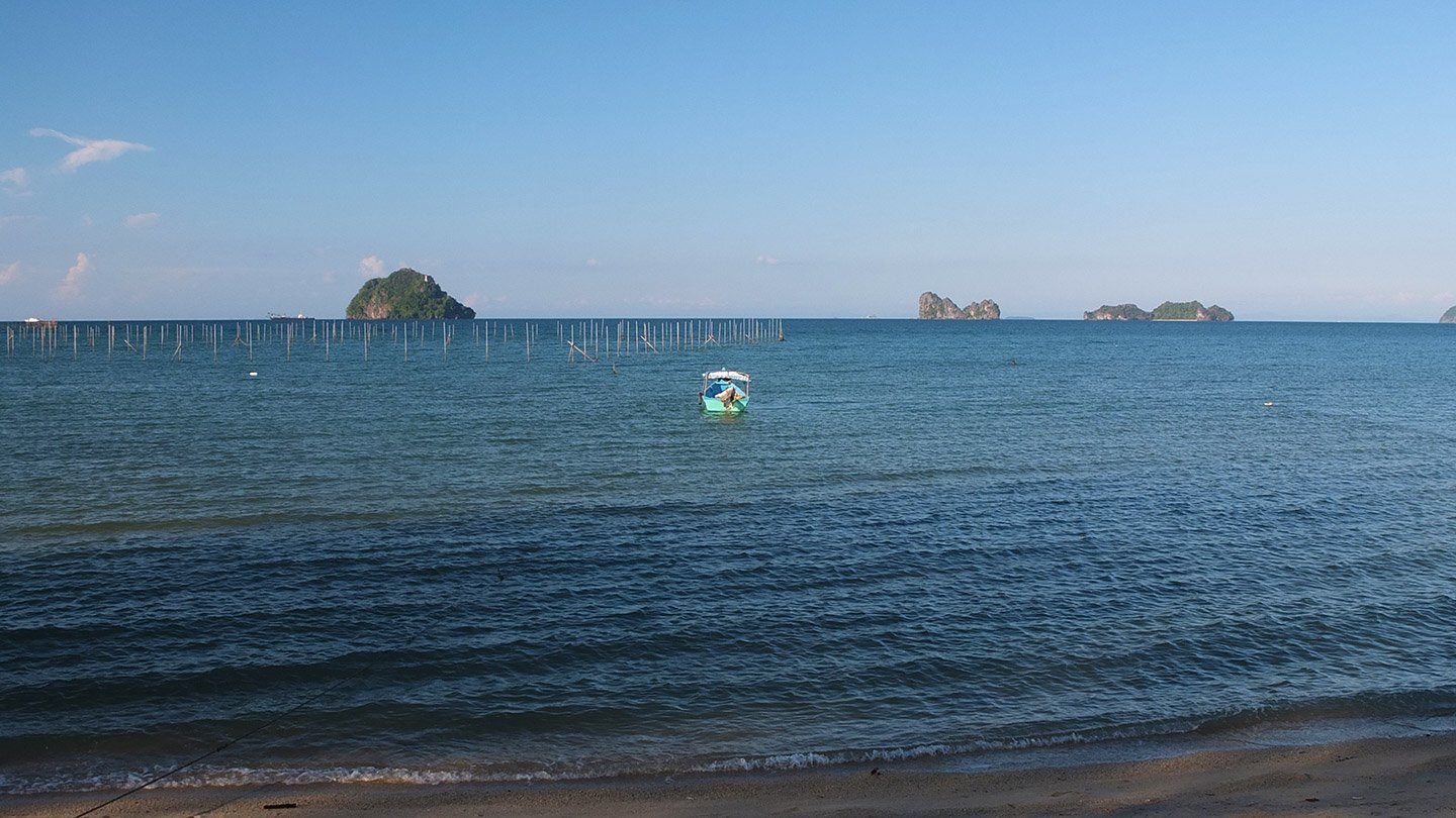
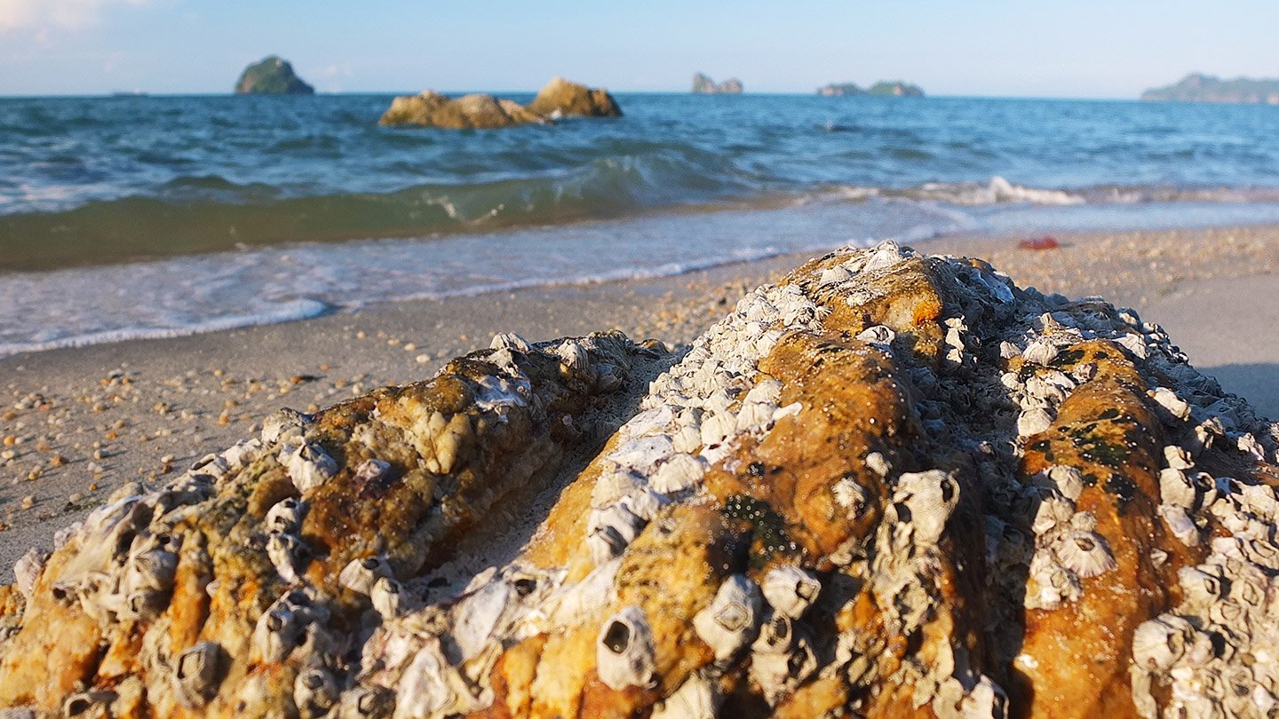
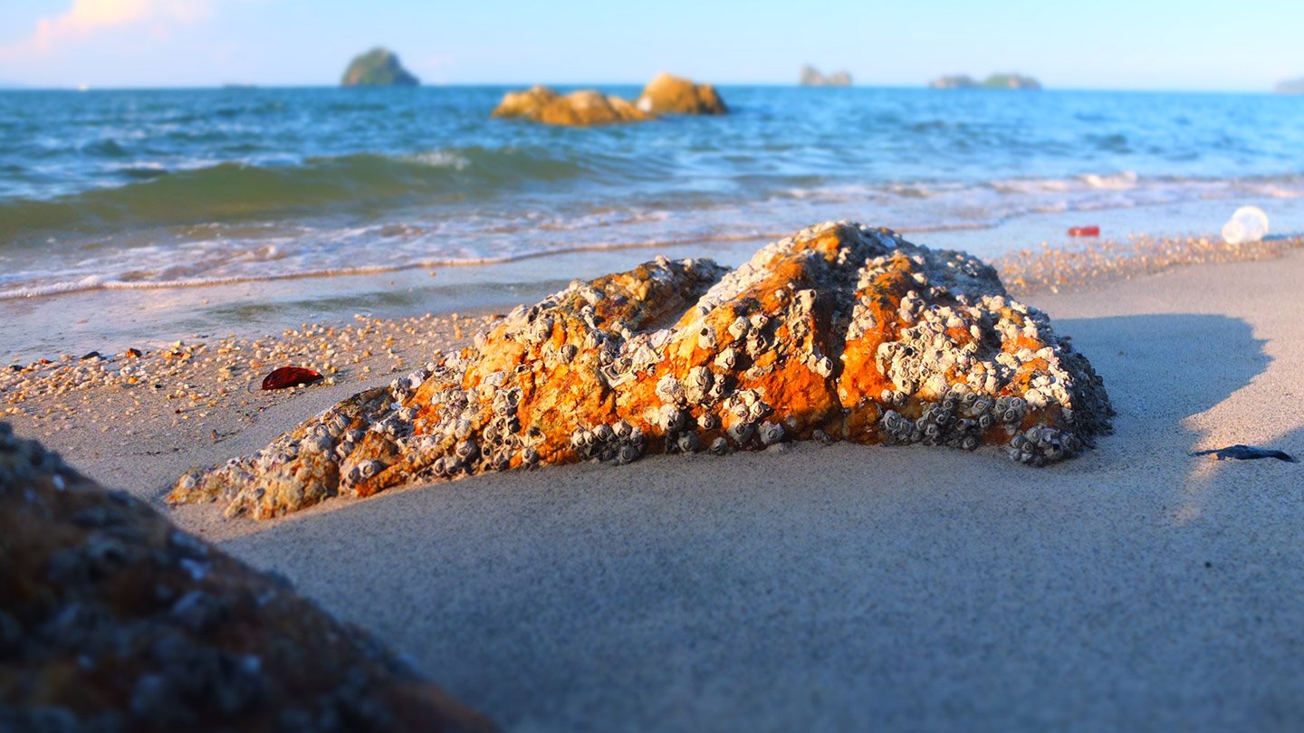
You see? looong beach :-) There is something like big rocks over there. Let’s have a look.
On the way…
A tilt shift effect that doesn’t work.
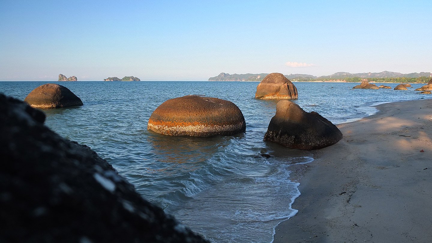
A donut in the water :-)
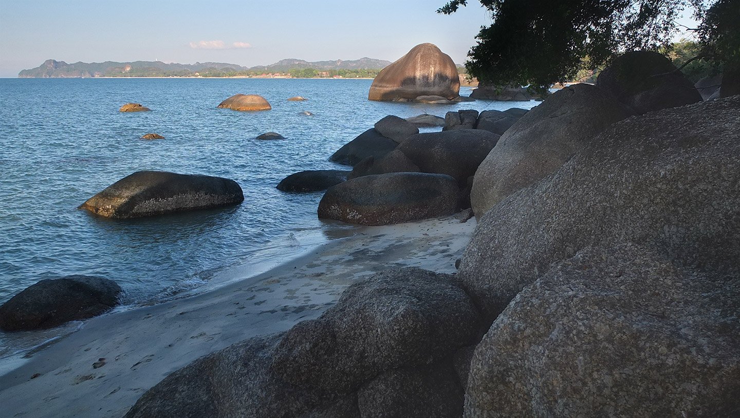
That’s the rock I was talking about.
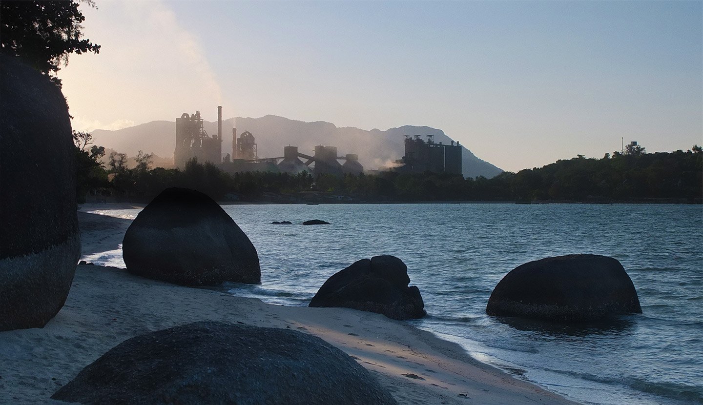
Ah, hey, every was wonderful until you realise that they put a huge cement factory. It’s name: Lafarge. Rah! It’s a French company! Shame on us.
J’en connais qui vont avoir des courbatures !! En tous cas vous n’aurez pas souffert pour rien, nous on se régale de ses belles images ! Les gros rochers (sans l’usine française évidemment) sont magnifiques sur la mer !!
What a amazing insect ! Was it a spider with 8 legs? Super interesting.
I would take the cable car without any consideration, I am a tourist. :-)
The view video is fantastic! It must be so good to dip yourself in the creek after the hard walk.