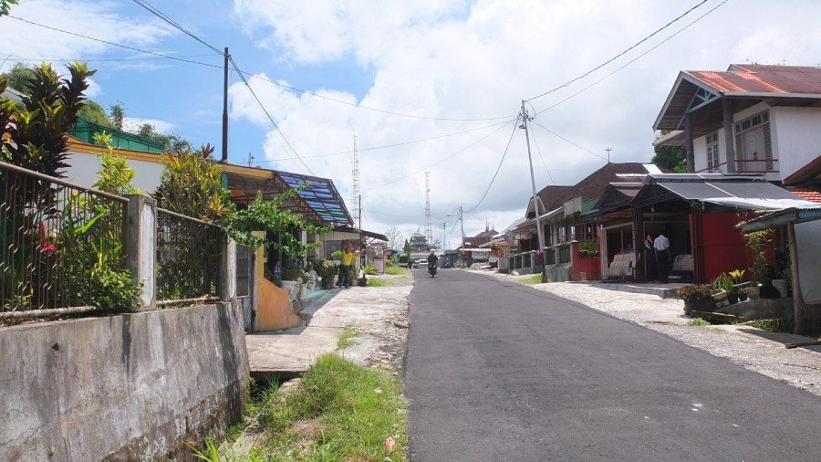
Bukittinggi and its famous clock Jam Gadang. When I looked online to find some point of interest in Indonesia, this is one of them which came up. I bookmarked this on google maps and it became one of my goal destination. This morning I hanged around for an hour and hit the road towards the Sianok Canyon without knowing it would be that wonderful. I’ve just seen on google map that there was a shortcut and wanted to try it. Later on, I arrived to the lake Maninjau (another point of interest) and discover another wonderful place. I’ve finally ended on the other side and continue pedaling until dark. The last surprise of this day was when I met Rahmat who follow me on scooter and asked me for a photo. I finally spent the night with his family! Warning, this post has a lot of pictures. Enjoy!
[wpgmza id=”72″]
Map.
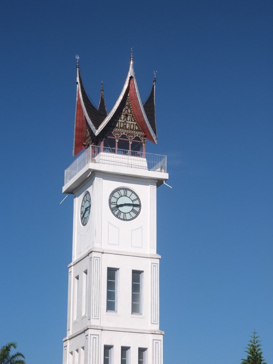
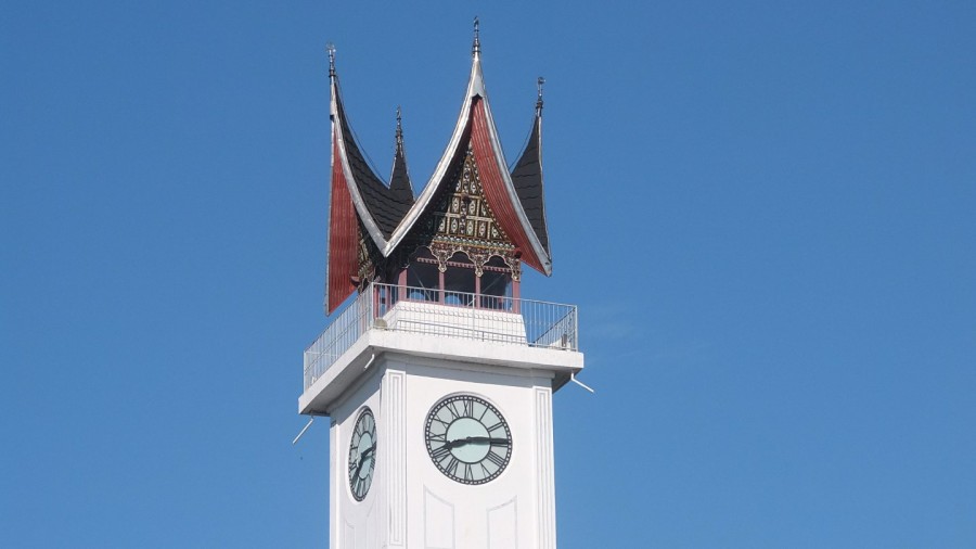
Jam Gadang (literally “Big Clock”) is a clocktower and major landmark of the city of Bukittinggi. It is located in the centre of the city, near the main market, Pasar Atas, and is a tourist attraction. This clocktower has large clocks on each side and was given the name “Jam Gadang” (English: big clock) (Wikipedia sources)
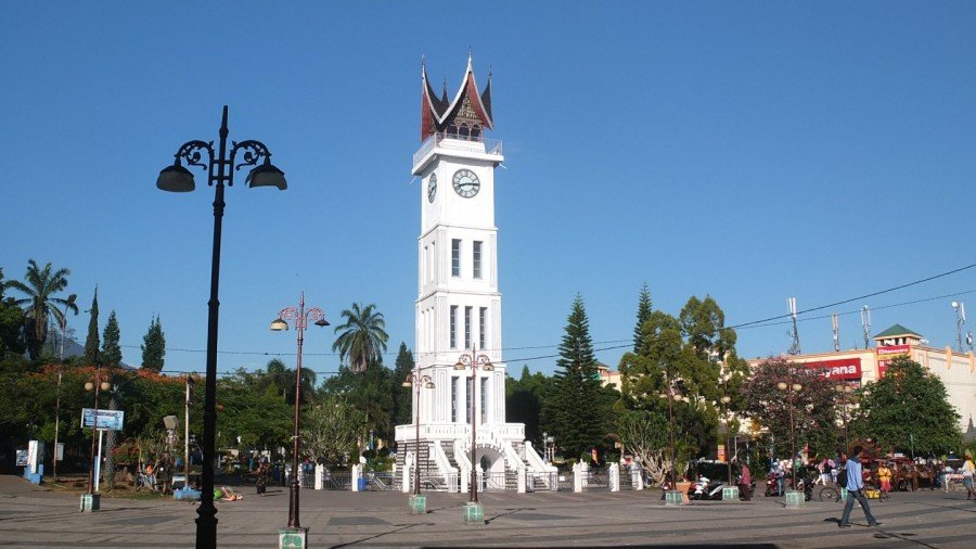
The structure was built in 1926 during the Dutch colonial era, as a gift from the Queen to city’scontroleur (Wikipedia sources).
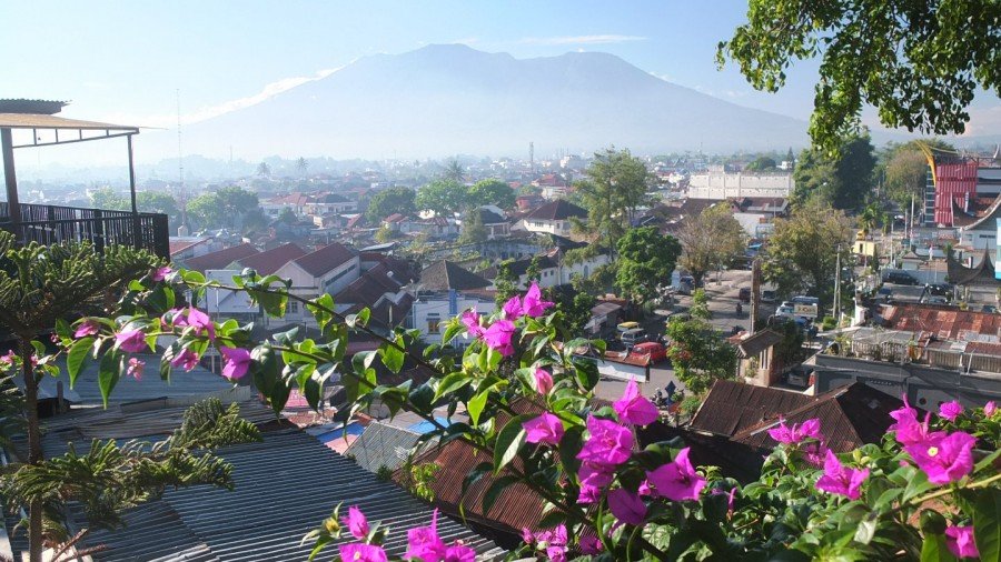
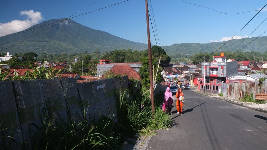
The mount on the background is Mount (Gunun) Marapi.
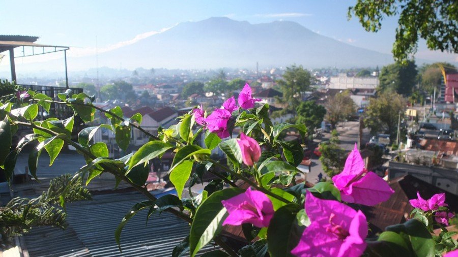
Marapi is a complex volcano in West Sumatra, Indonesia. Its name means Mountain of Fire, and it is the most active volcano in Sumatra. Its elevation is 2,891.3 metres (Wikipedia).
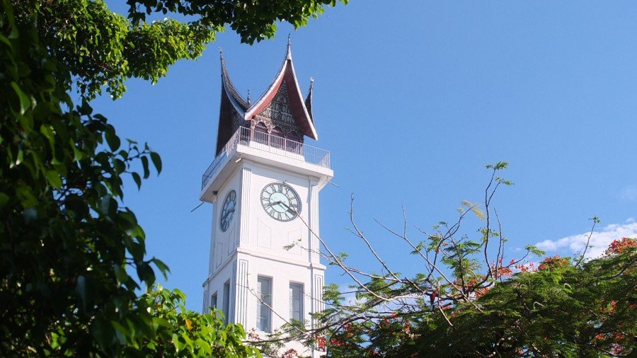
The big clock though the trees.
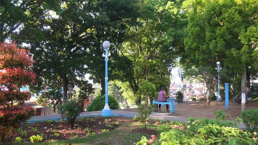
This is the garden around the clock.
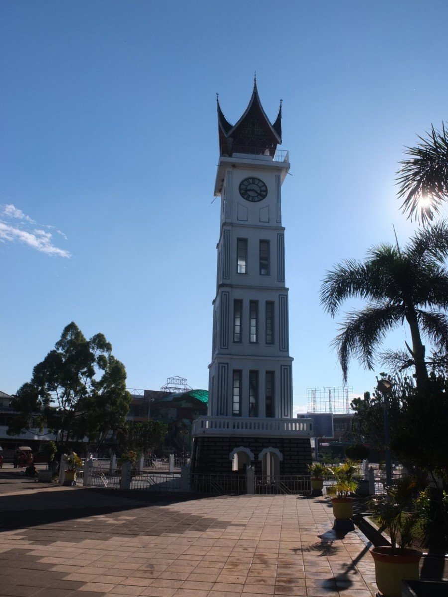
Last look at Jam Gadang.
I’m on my way to Maninjau lake.
Wow! That looks really good here.
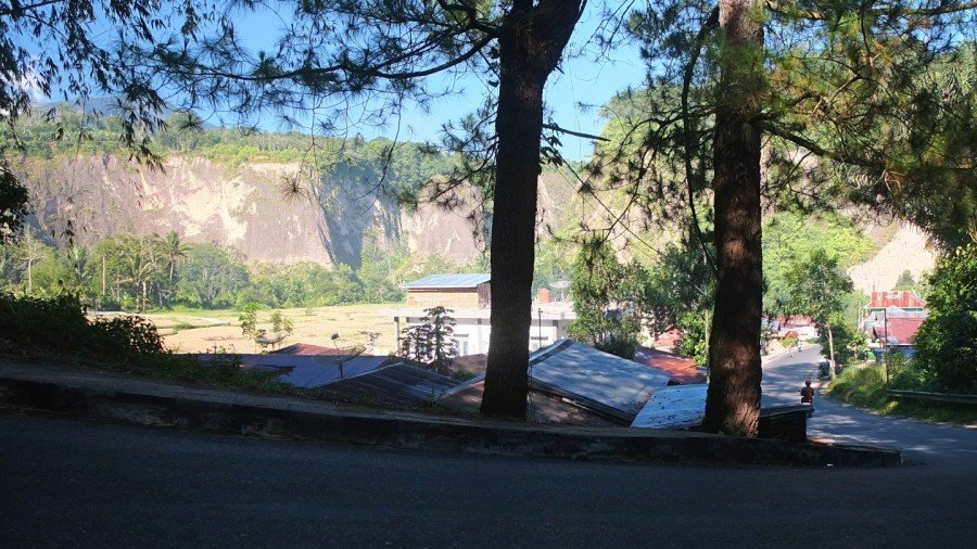
I did not expect to see something like this today.
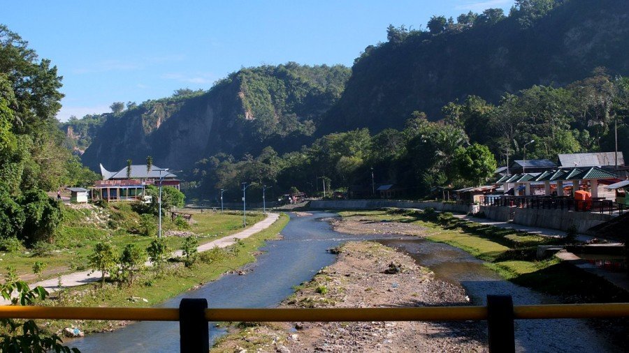
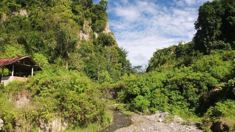
The river.
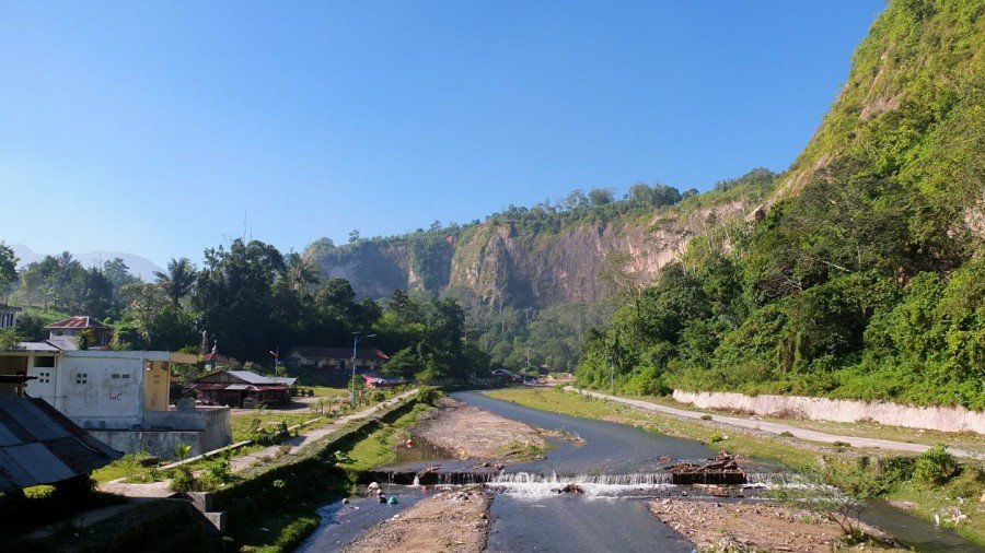
The opposite side.
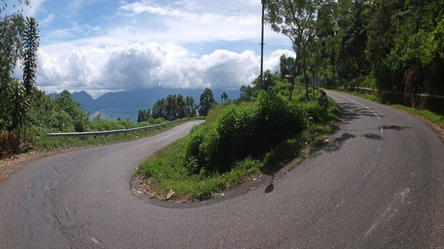
The road is tiny and seems to follow the canyon, This is perfect!
Very very nice :-)
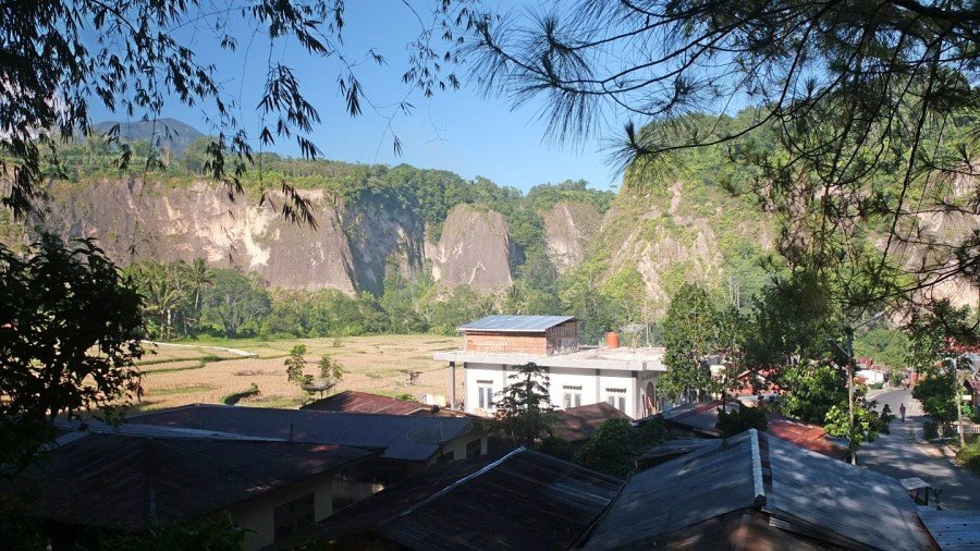
Wide view.
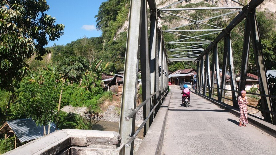
Crossing another river.
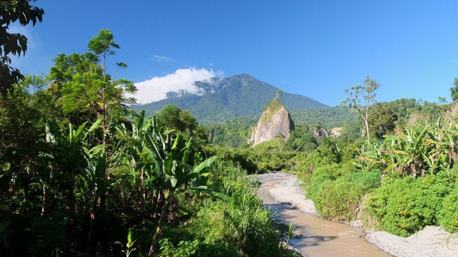
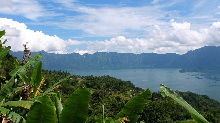
The view from the bridge is amazing! The sly clear blue with this white clouds attached to the mountain. Singgalang is a volcano in West Sumatra, Indonesia. Its elevation is 2,877 m. It is a twin volcano with Mount Tandikat, which is located to the south-south-west of Singgalang. However, only Tandikat has had historical volcanic activity. Wikipedia
I’ve got now two choices. The main road on the right side looks very steep so I will try the left one. Google map shows that the left one is a bit longer but it might not be as steep as the right road. Let’s try.
And fortunately this second road is heading just where it is beautiful :-)
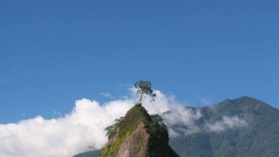
This tree goes straight out of a Miyazaki movie :-)
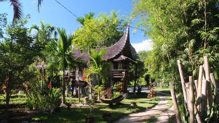
This place is an hotel with the great Padang “Buffalo” style.
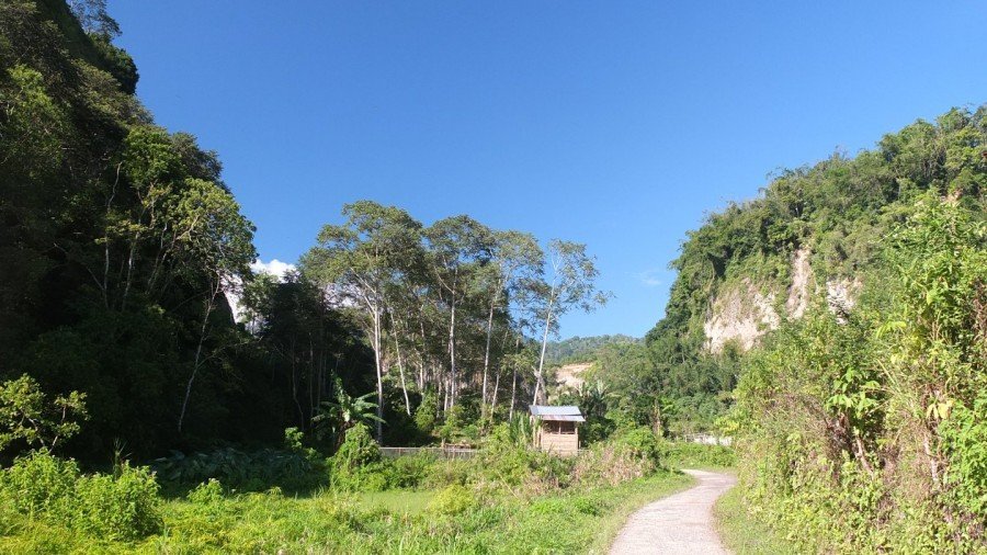
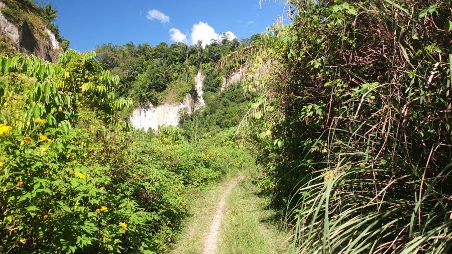
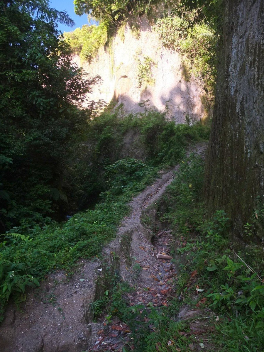
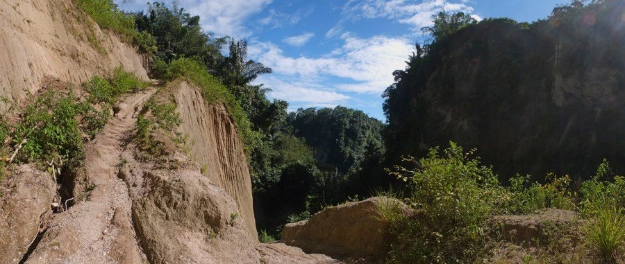
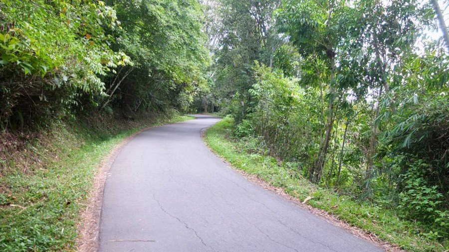
I am continuing to ride on this what used to be a road. Now it’s a path.
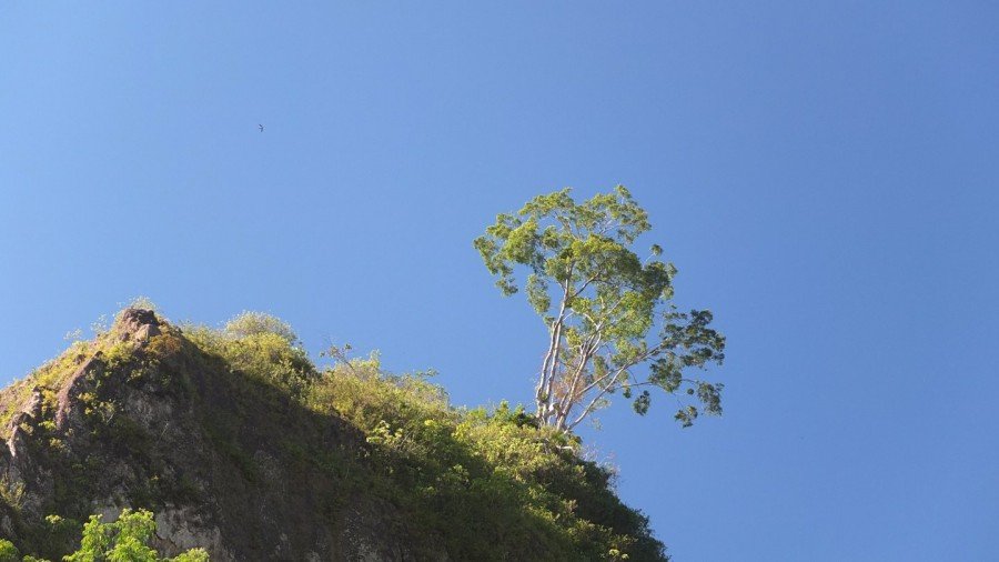
Few! Magic!
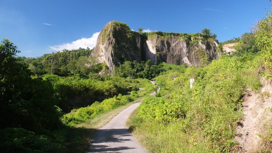
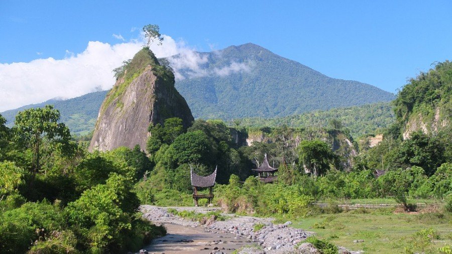
This canyon area is great.
The map indicate that this is the way to go. Now I hesitate… I got already in trouble by following what google called a road. This is not every time true!
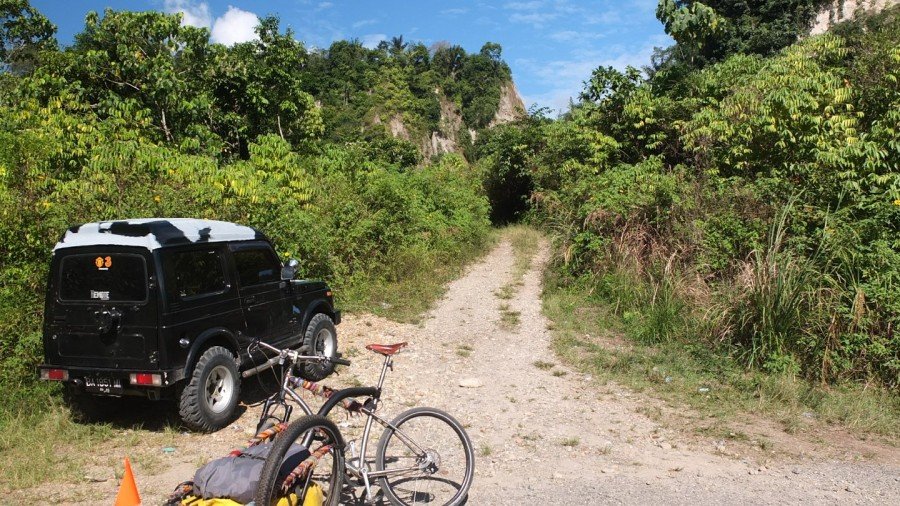
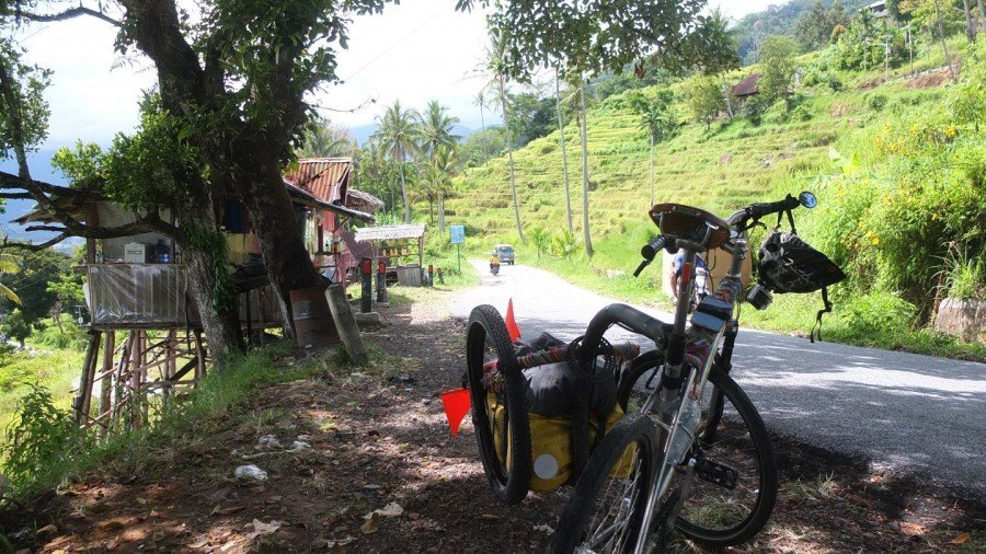
Even if the road is now becoming a track it is still possible for a bike to ride. Let’s see further.
I’ve been walking first and keep thinking that is possible to cycle here.
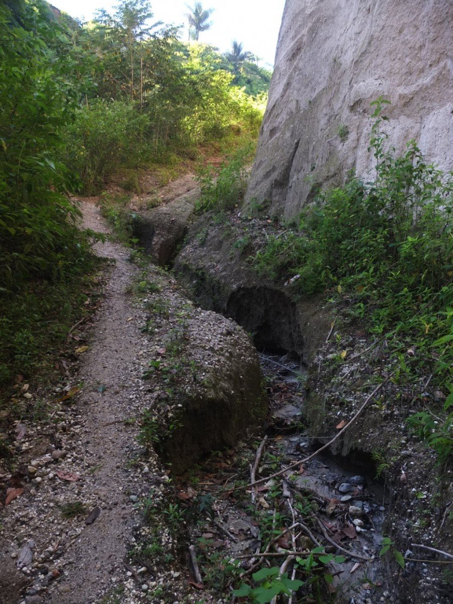
The track might go this way somewhere.
Hop hop hop, this is getting complicate here. No way I will cross that with my stuff.
I met a guy here, actually the owner of the four wheel drive where I’ve parked my bike. We had the same question in mind. Is this road going somewhere? Obviously it is, but only by walk.
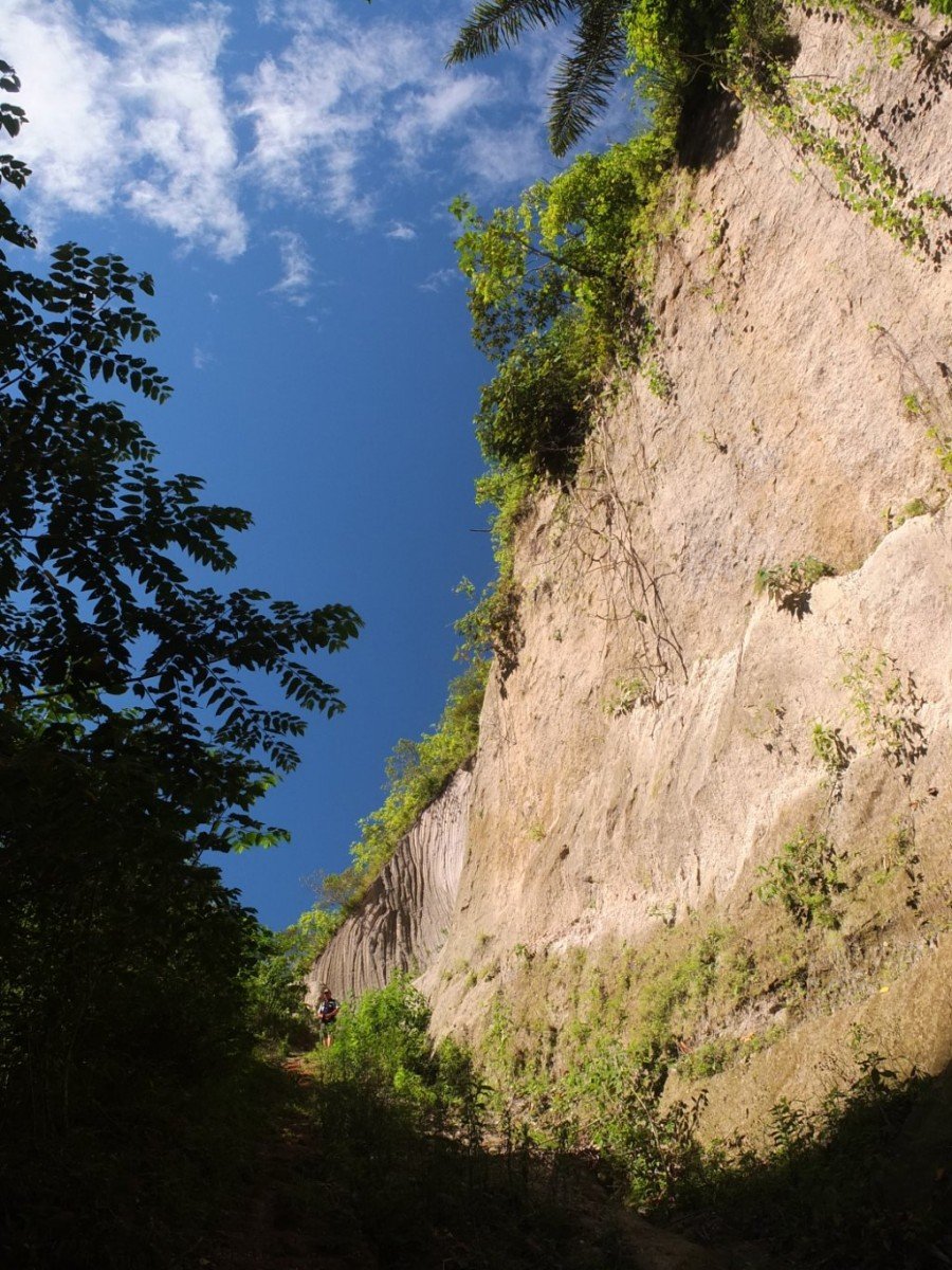
The path is now becoming very steep.
This U-turn show how rough is this track. They certainly stopped to work on it and it’s not praticalble anymore. Well, the visit was still interesting and I’m coming back where the road separated.
Heuuu… Now I am in trouble hahaa. Is it really going to be that steep?! I don’t have any choice now. Let’s go!
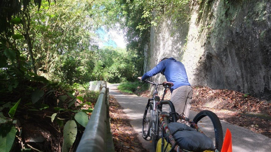
No, let’s push!
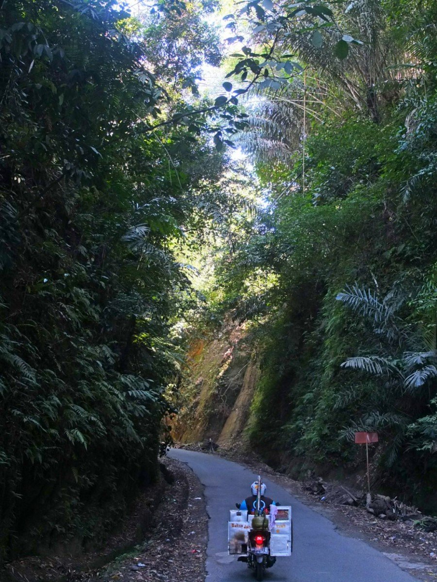
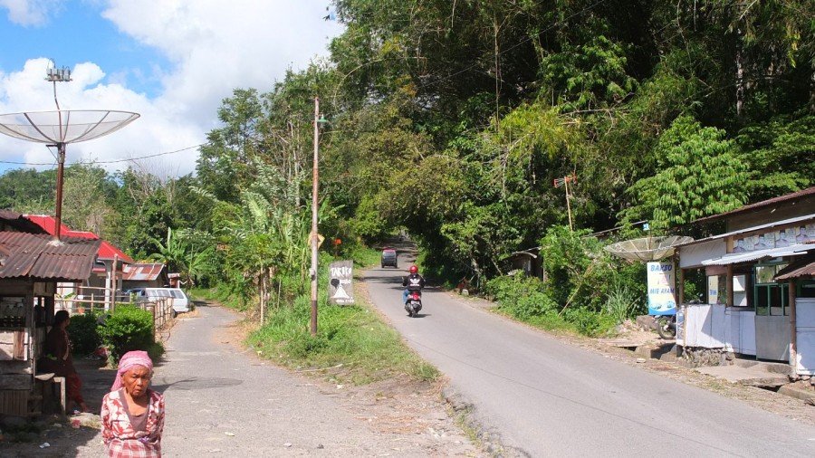
Lots of scooter like this one all around Indonesia. This on has a kitchen on its back and drive around to sell his food.
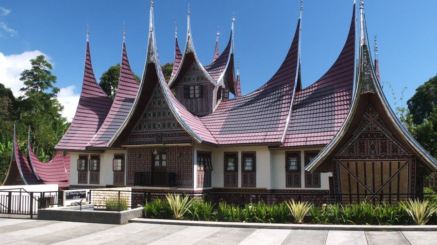
Another Rumar Gadang temple. This one looks more like a museum. It’s very well preserved.
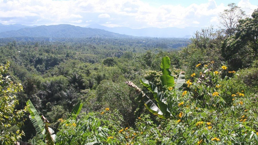
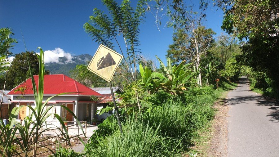
I’m now high enough to enjoy the view. Bukittinggi is now hidden on the right hand side.
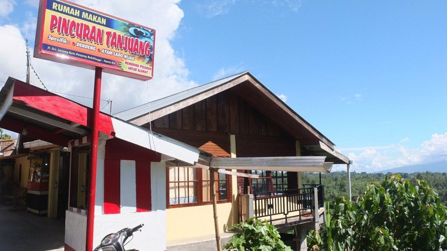
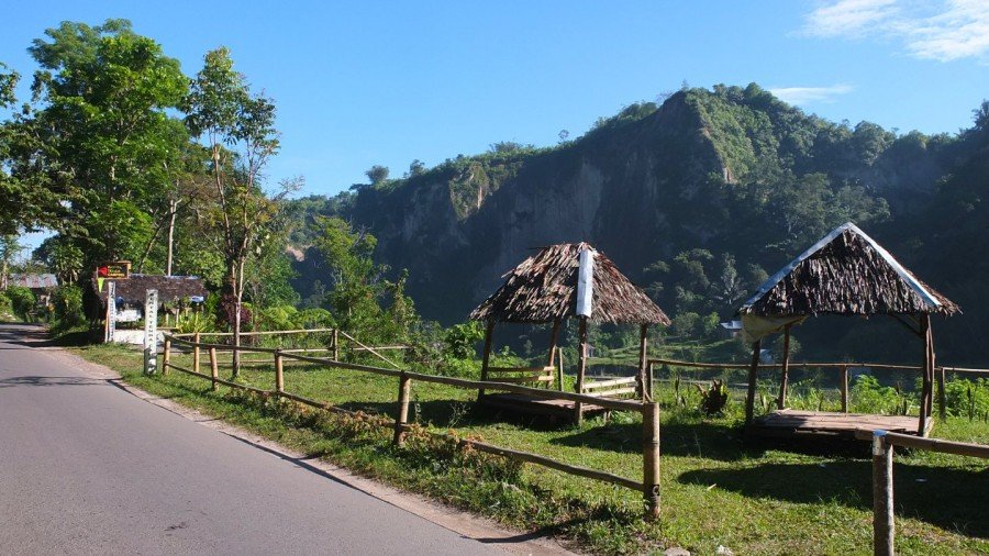
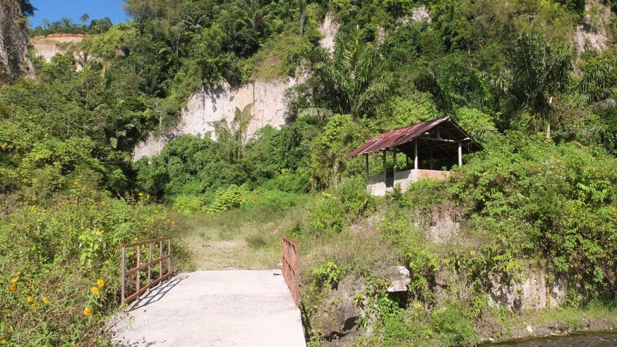
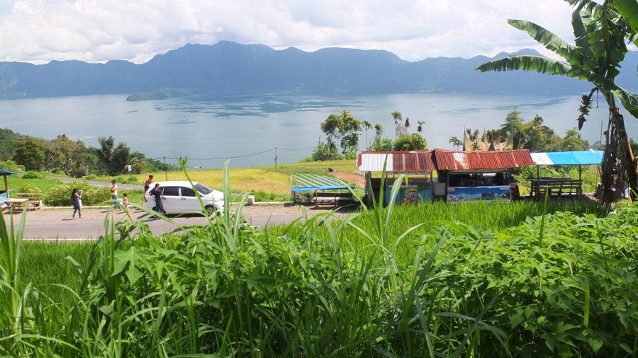
This Warung has such a nice view!
I’ve passed the warung and talk with the owner. He speaks english so the communication is easy. The guy is cool. He his working abroad for an oil company and comes back here several time per year to see his family. This way, he has enough money to live a decent but simple life. That’s a good idea. Finally I’ve decided to get some lunch here and will continue my trip to the lake later.
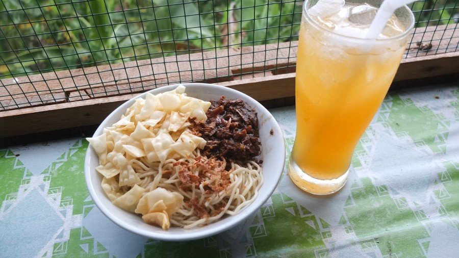
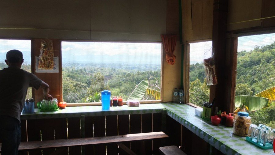
Mie (noodle), chicken (ayam) and some crackers plus a nice fresh orange juice :-)
Hop, back on the road!
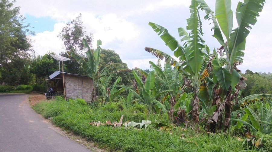
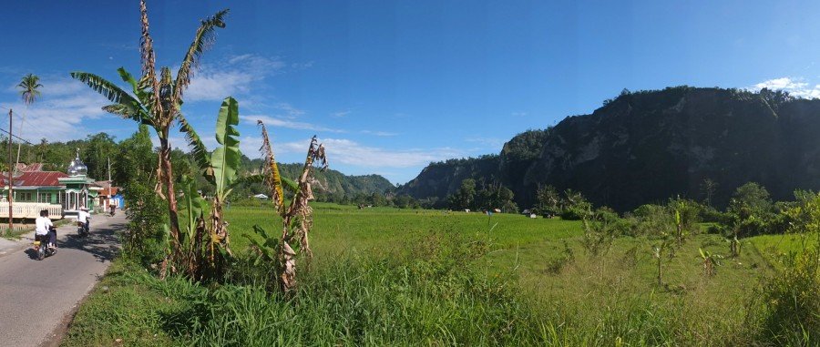
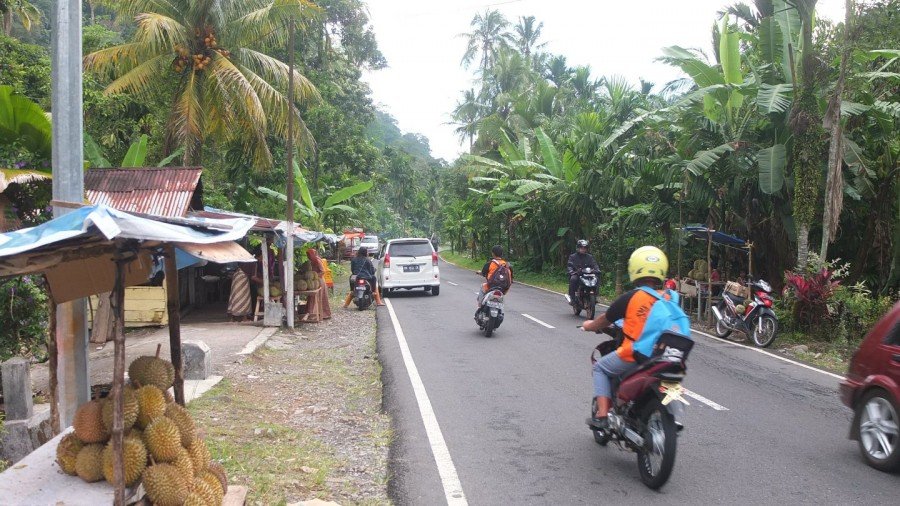
Lots of banana palm trees around this area.
I’ve enjoyed a nice long downhill down to the valley. Now I’ve got an unexpected uphill before to get to the lake. Come on! It’s hot!
I’m nearly to the top!
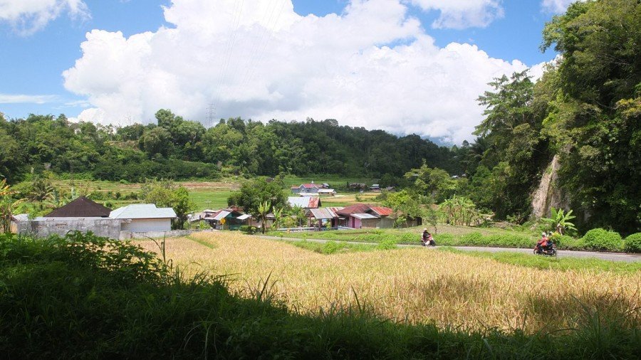
I’ve crossed the village and met some kids coming out of school. I’ve explained my trip one more time and then continue to ride. The lake is just there and before I have a huge downhill to enjoy.
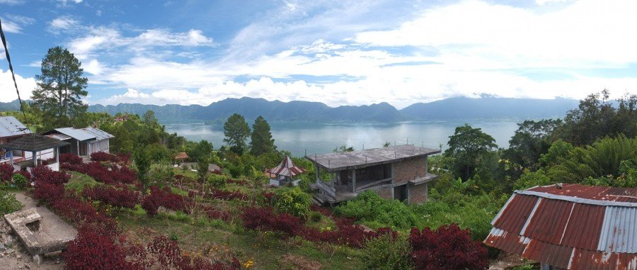
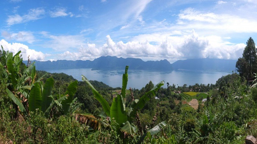
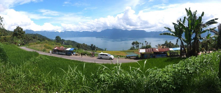
Panoramic lake view.
Wonderful!
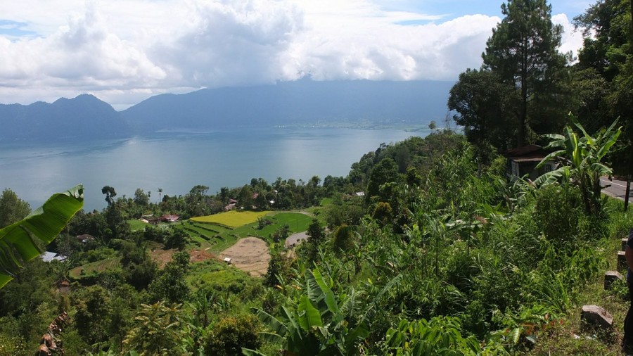
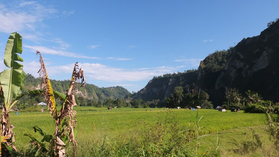
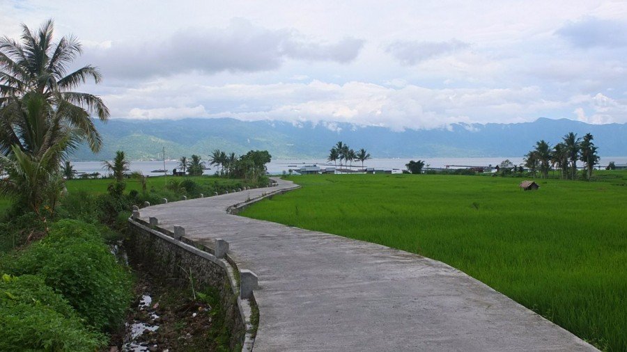
Lots of rice fields down there.
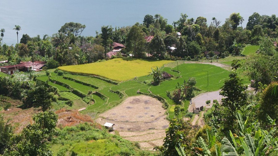
The light yellowish one might be something else.
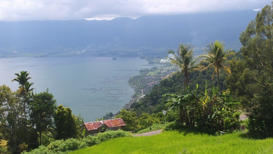
The south side of the lake.
Lake Maninjau has an area of 99.5 km², being approximately 16 km long and 7 km wide. The average depth is 105 m, with a maximum depth of 165 m. The natural outlet for excess water is the Antokan river, located on the west side of the lake. It is the only lake in Sumatra which has a natural outlet to the west coast. Since 1983 this water has been used to generate hydroelectric power for West Sumatra, generated around 68 MW at maximum load. Most of the people who live around Lake Maninjau are ethnically Minangkabau. Villages on the shores of the lake include Maninjau and Bayur. Maninjau is a notable tourist destination in the region due to its scenic beauty and mild climate. It is also used as a site for paragliding (Wikipedia).
Huge curves going down to the lake.
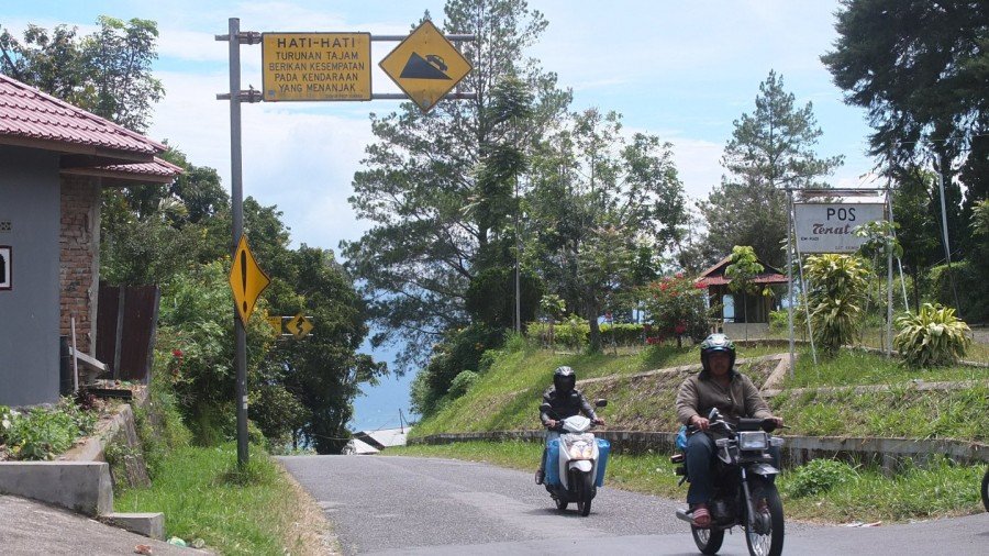
There is lots of warung along the road.
Down in the crater, the Baru village.
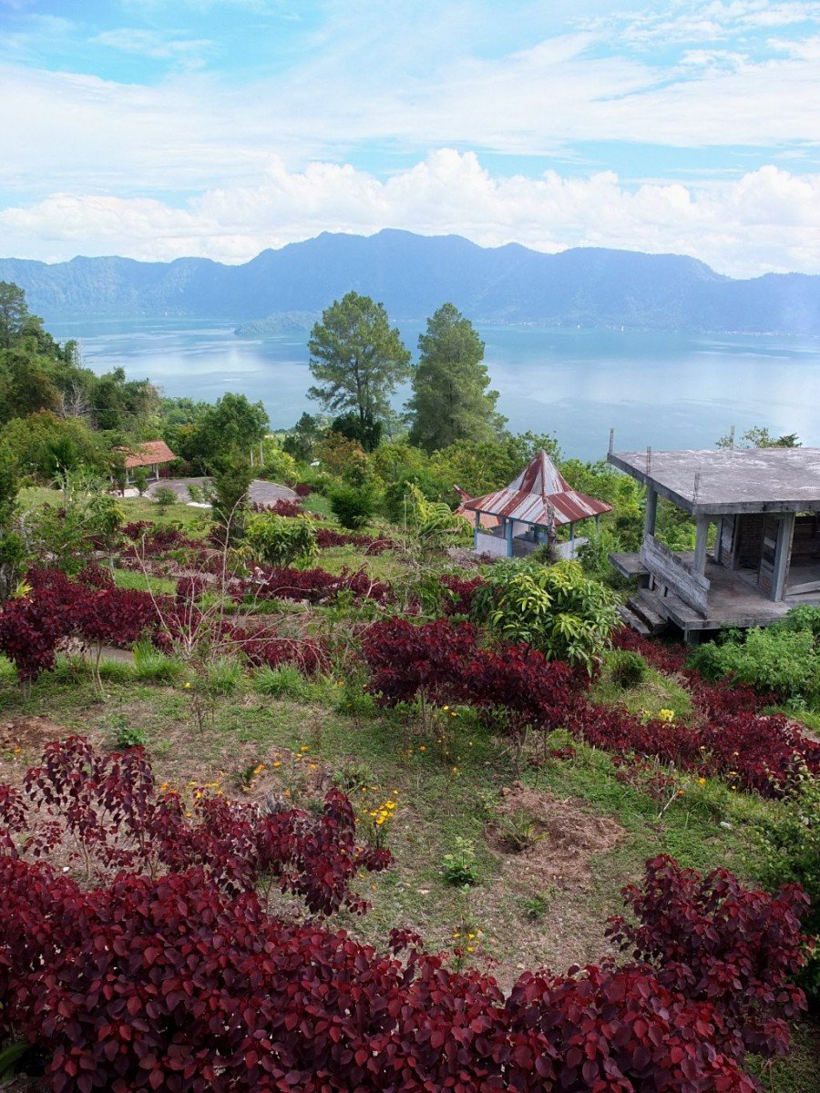
Another panoramic view.
Let’s have a break and make that nice downhill longer.
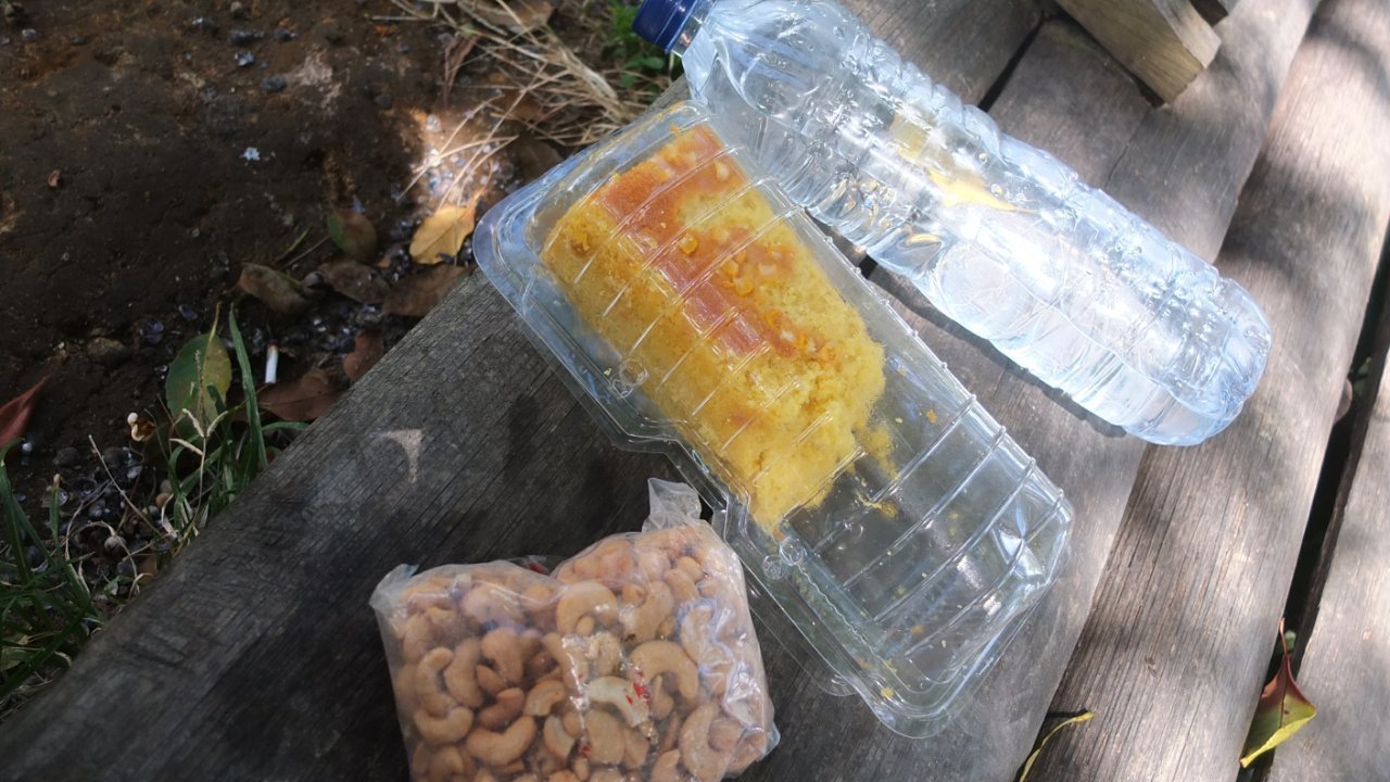
Some cashew nuts, a cake that a family gave me two days ago when I was cycling towards Bukittinggi.
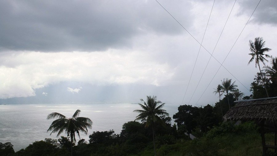
My break is going to be short, the rain is coming. Quickly, I should find a place where to be covered. Let’s go now!
Houuu, it doesn’t look very nice.
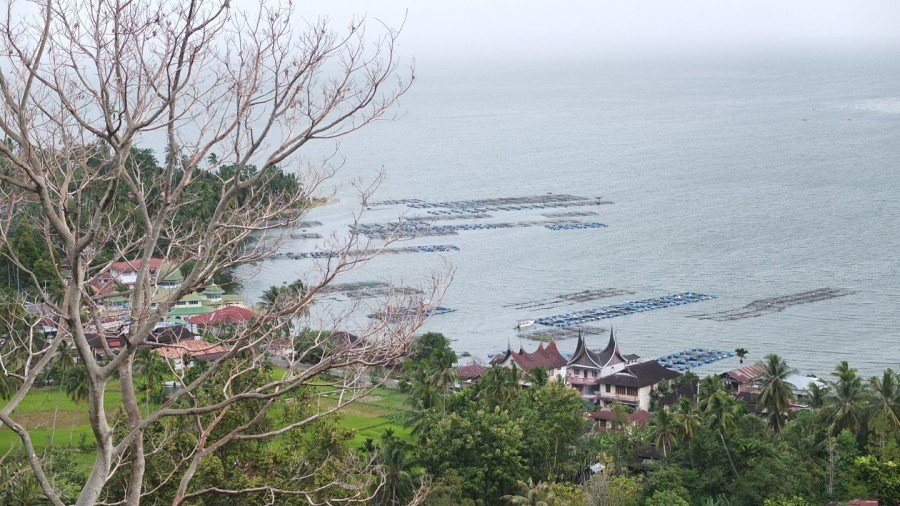
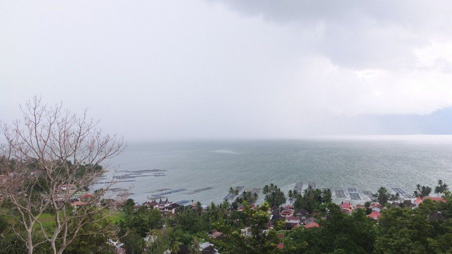
Closer view of the fish farms down there.
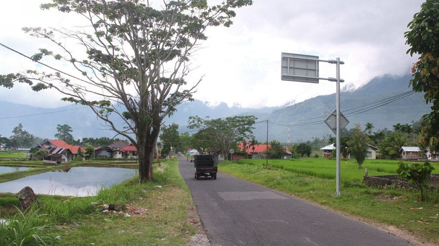
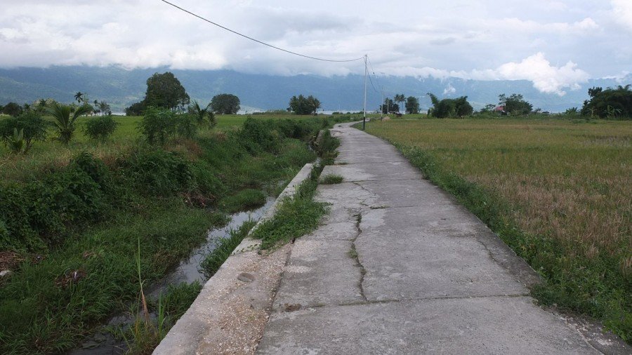
Finally I arrived at the level of the lake and only few drops hit me. I was lucky I think. I’m now cycling around it, on the north side.
That’s north! ;-)
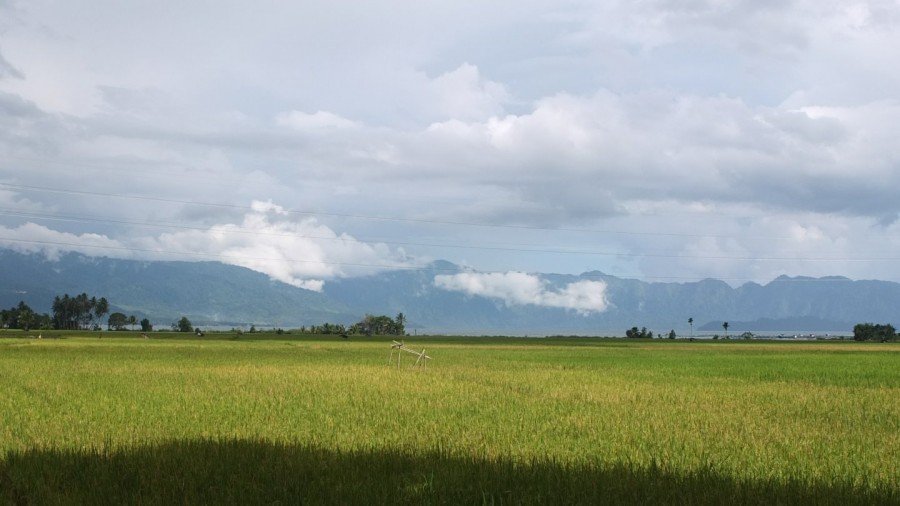
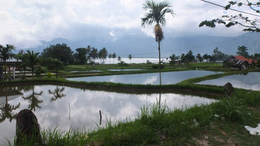
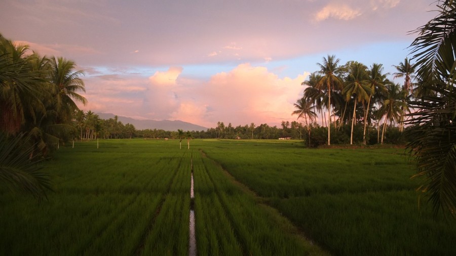
Rice fields and more rice fields.
I would like to find the way to reach the water but there is not any issue.
Ah, this is maybe one?!
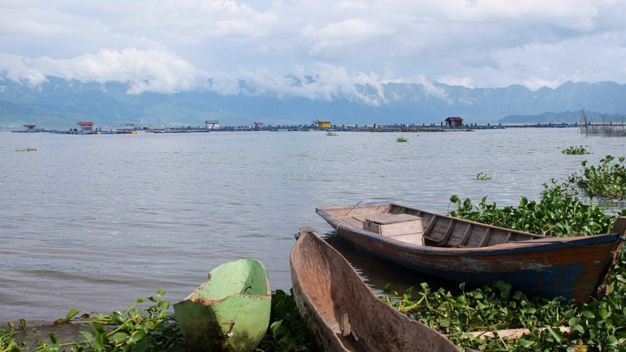
Hmmm, Yes this is one but the place is not really inviting.
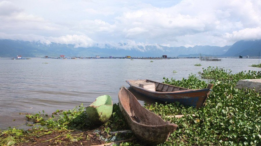
There is no beach or any pier. Indonesian doesn’t get what tourists like. For them this is only water, water is useful for the fields and the fish. For tourists? What for?
Hey, there is another access to the lake but I’m not gonna try this now because the rain seems to be back…
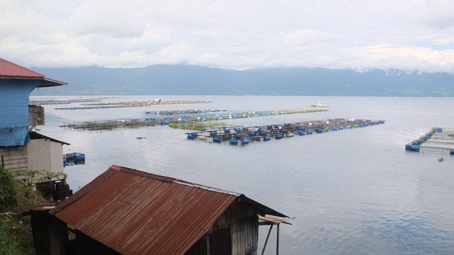
I’ve been cycling all along the top of the lake and soon I will have to climb up the other side. A last look to the fish farm and let’s go :-)
Luckily, I don’t have to climb at all. Looking at Google Map I thought the road was going uphill but it is actually downhill. As mention Wikipedia, the natural outlet for excess water is the Antokan river, located on the west side of the lake. haha that’s a good news :-)
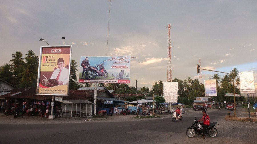
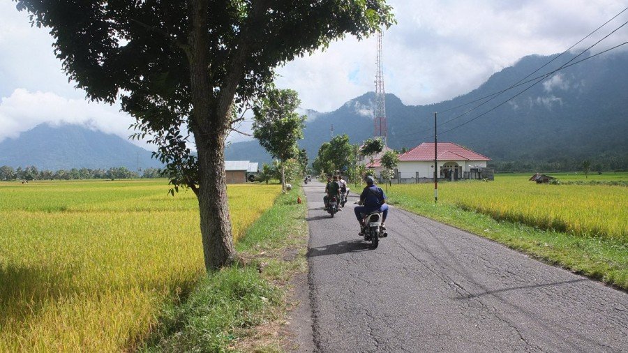
I’ve been cycling maybe for forty minutes downhill, I’ve crossed a city and I’m now going to turn left. I am coming the road where the telecom tower is.
I must find a place soon because it is getting dark.
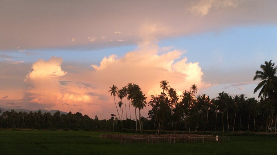
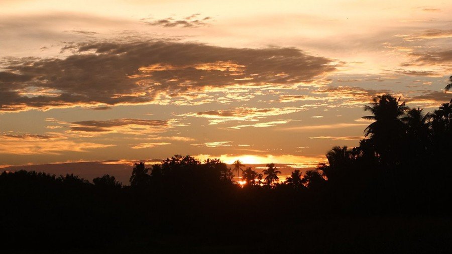
Fantastic colours now.
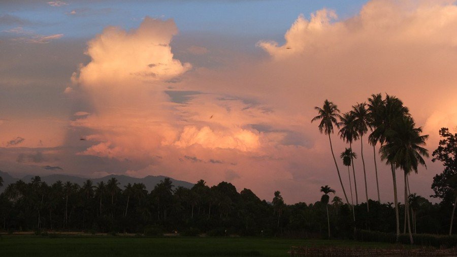
I could take 50 pictures like this but it would be a bit boring, isn’t it?
Ok, ok last one :-)
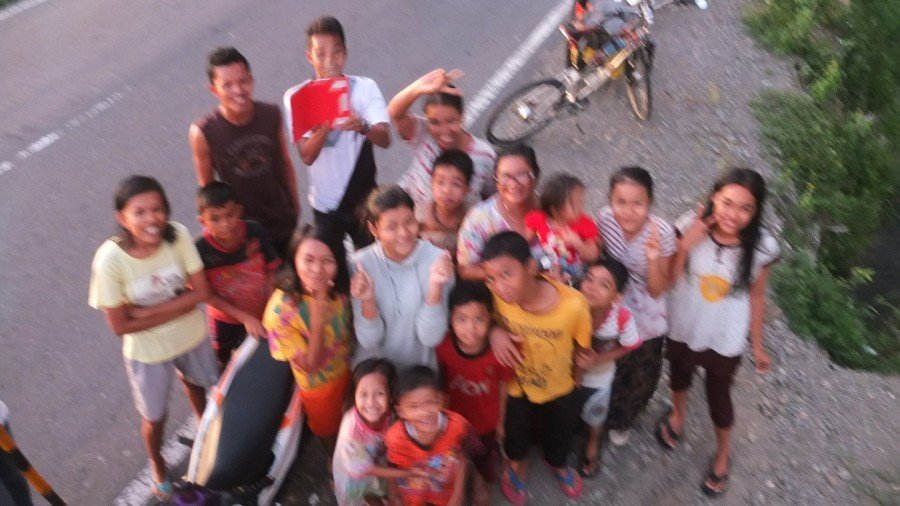
I admired the sunset and started cycling again. A minute ago I passed front of two guys who were seated on huge concrete pipes. I said “Halo” as usual. A minute after I left the photo spot, one of the guy named Rahmat approached and asked me for a picture. Ok, ok but quickly because I have my spot to find before dark! :-) As soon as I came back to the place, a group of maybe 15 people arrived from the opposite way. Some of them were really excited about seeing a white stranger. I took few pictures of the group to keep in mind the nice atmosphere. Fortunately, my phone did a good job to translate the more detail conversation we wished to have. As you see, the picture is a bit blurry because I had my arm tensed above my head.
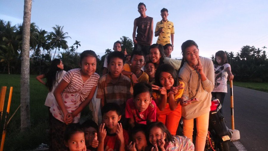
Good this one is clear! This is where the funny part starts. As always, people ask me where I am sleeping at night. I must repeat my answer few times before they realise I’m serious. Their first reaction is “Are you scared?”. During the meeting with everyone, Rahmat and her sister offered me to sleep in their home. Oh, thank you very much! A minute later, two girls offered me the same thing. That was getting tricky. Even more tricky when I understood than one group was living on the north direction of this road and the over family on the opposite direction. In fact I stopped between two villages or communities. As anyone was speaking english clearly enough, it took me a while to understand what they wanted. We finally agreed on the following solution. Rahmat, some of his friends and myself will join the first family for dinner and then I will follow him back to his house. Few! The rest of the story of this night is in next post as this one is long enough! Crazy day and it’s not finished!
Superbes paysages, et superbes photos ! Merci Damien de nous faire partager tes aventures ! Les enfants sont trop beaux !
As tu vu que tu as 2 fois la même petite mamy sur tes photos. A moins qu’elle ait une sœur jumelle, elle se déplace vraiment vite. Ou c’est toi qui stagne ??
Lucky, you have found a dinner and a bed. :-)
I saw many durians in your photo! I love durian! It must be cheap there…. I wish I can eat now.
I like the the warang with good view. Was the wire screen for stopping wild birds and monkeys to steal customer”s food?