
Everyone followed his own path yesterday and I’ve spent the night on my own. This morning I’ve been to the library to upload as much picture as I could but it did not work very well. Anyway, I thought about leaving today or tomorrow but I could not wait anymore. So I’ve done a short trip from 4pm to 5:30pm, just enough to reach the first rest area out of Alice. I’m back on track!
Map.
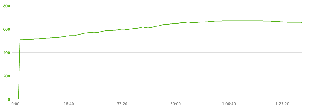
Elevation.
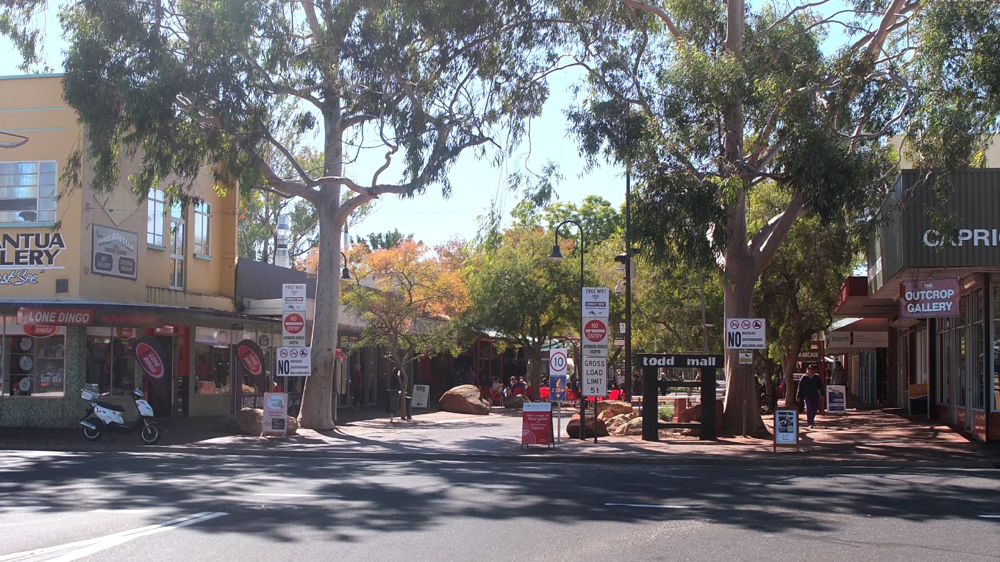
I realized I haven’t take much pictures of Alice Springs the last few days. I was occupied and hang around with the other adventurers. That street is the main one I guess and only people are allowed there. There is lots of cafes, Art Galleries, different shops and ‘my’ bank :-) I’ve spent most of the time there to get wifi as well because it’s much faster that the one in the library haha :-)
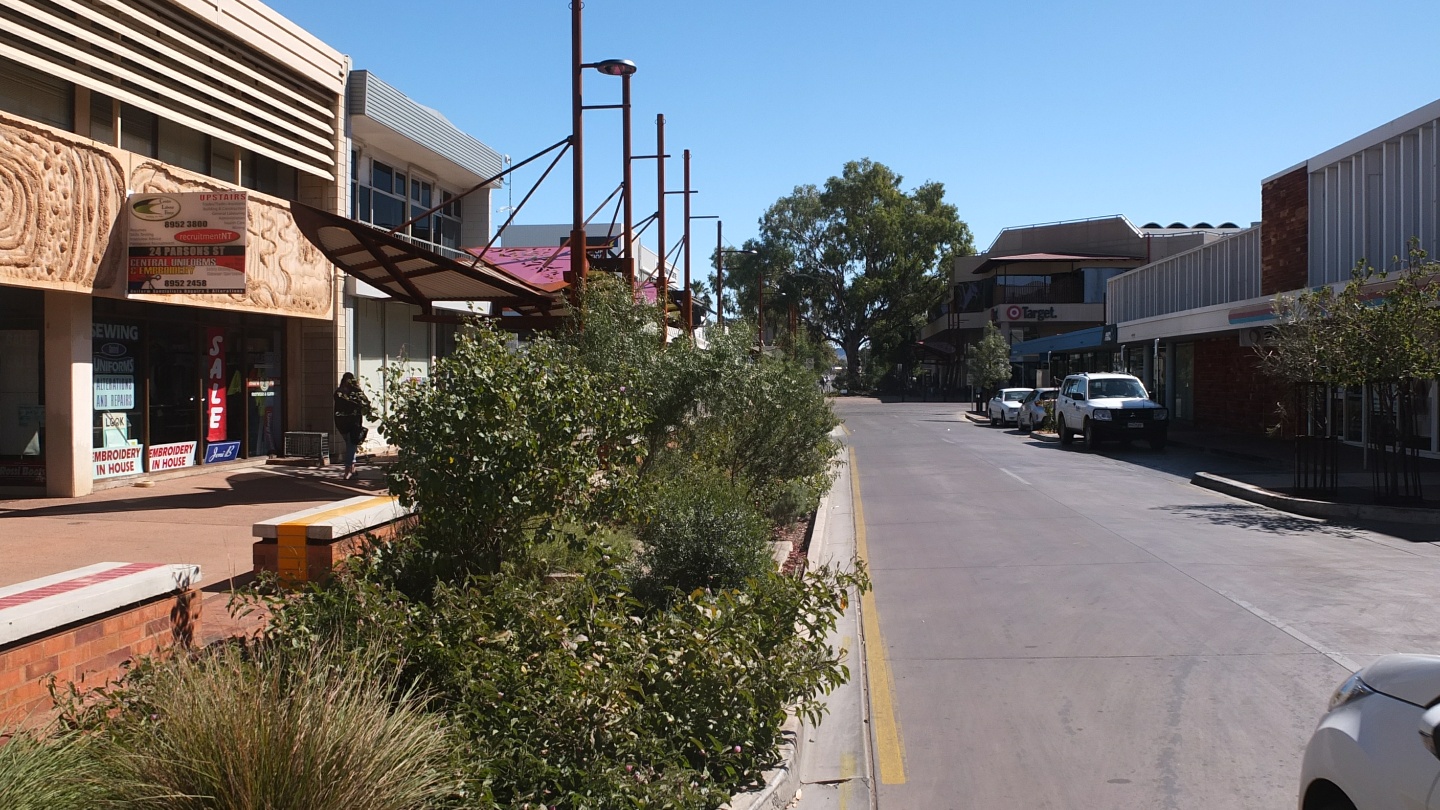
A random street near the city centre.
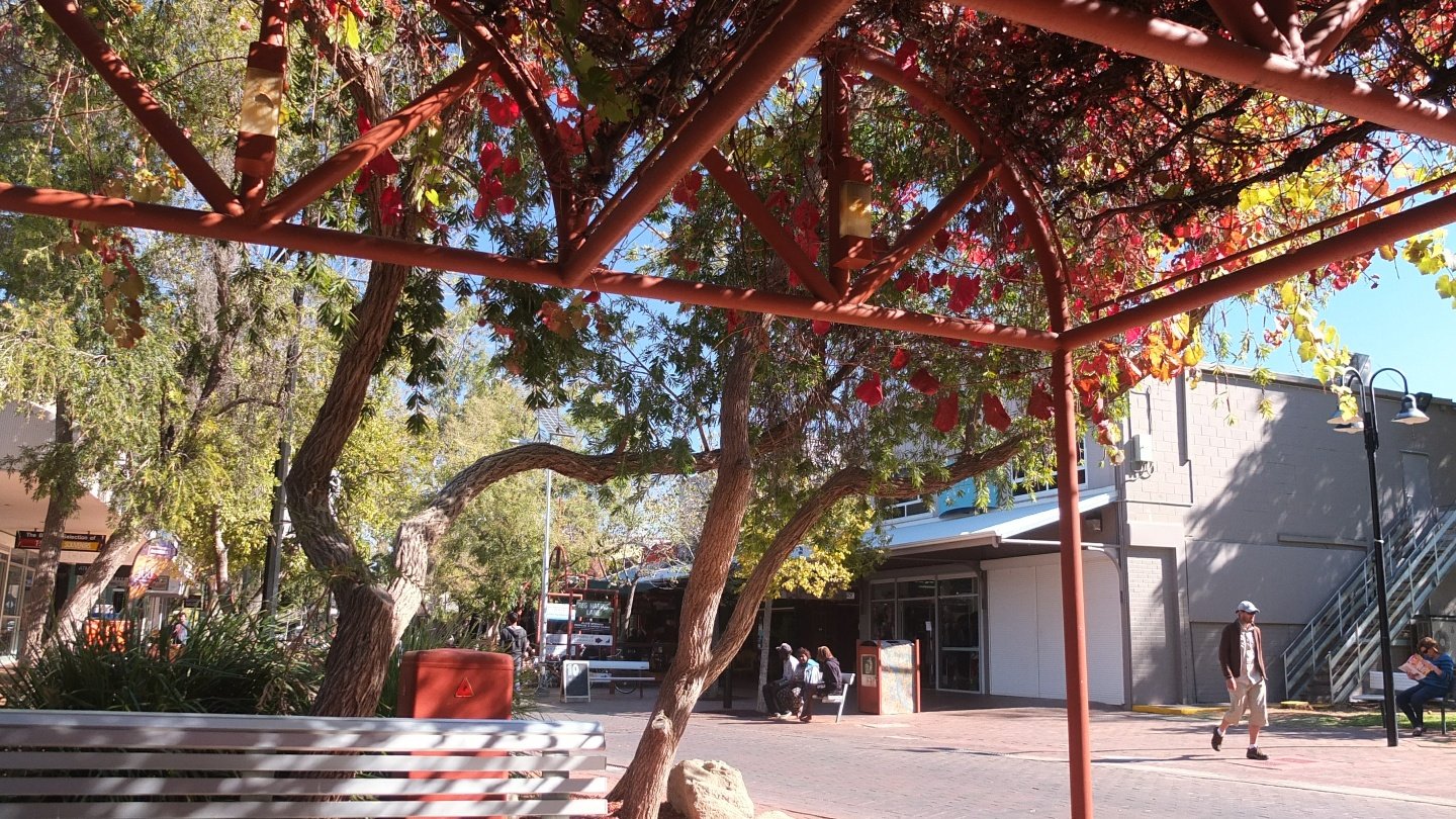
The wifi spot!
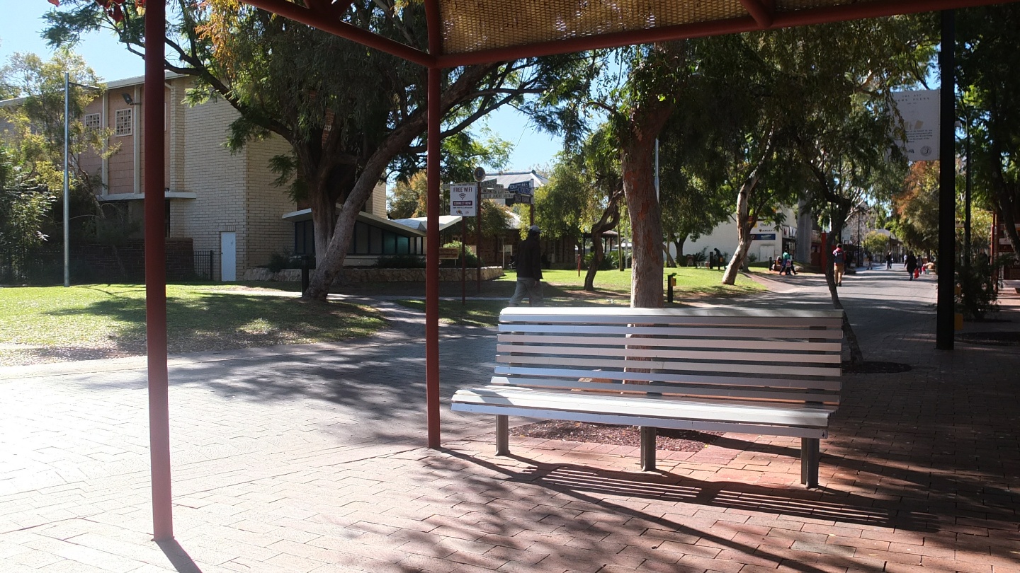
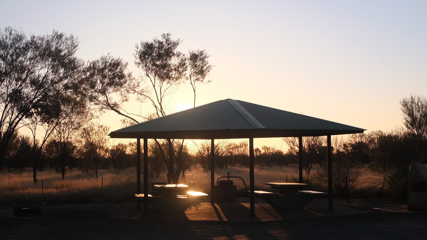
There is bench and sun!
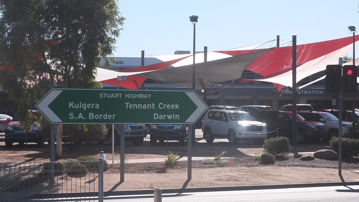
This is time to leave Alice! it’s 4pm now and I should have just anough time to reach to next rest area.
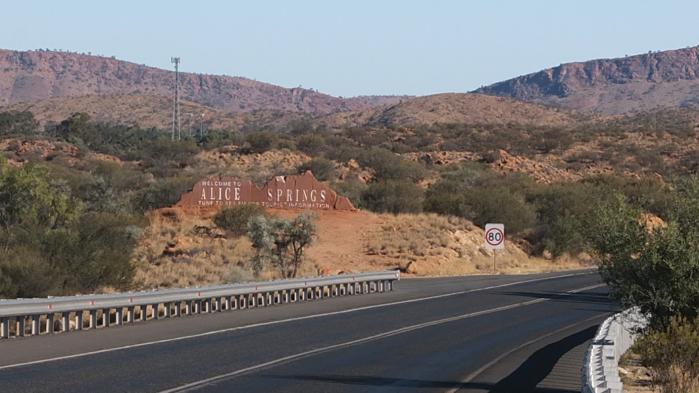
Bye Alice!
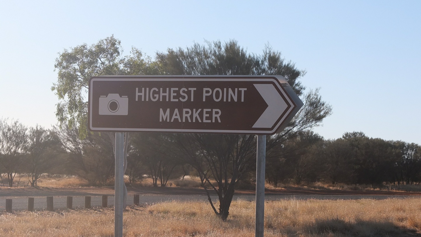
About 20km later and a long light climb I’m arriving to a spot I heard from the English guys: The highest point of the Stuart Highway.
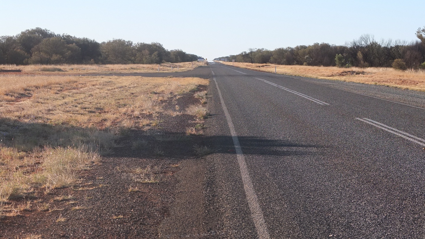
Does it mean I will only cycle downhill from now? I doubt…
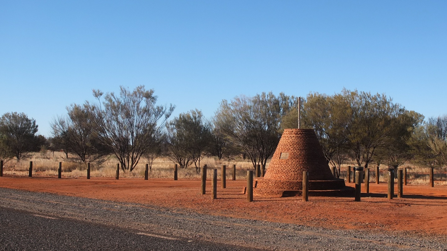
They even built a cairn.
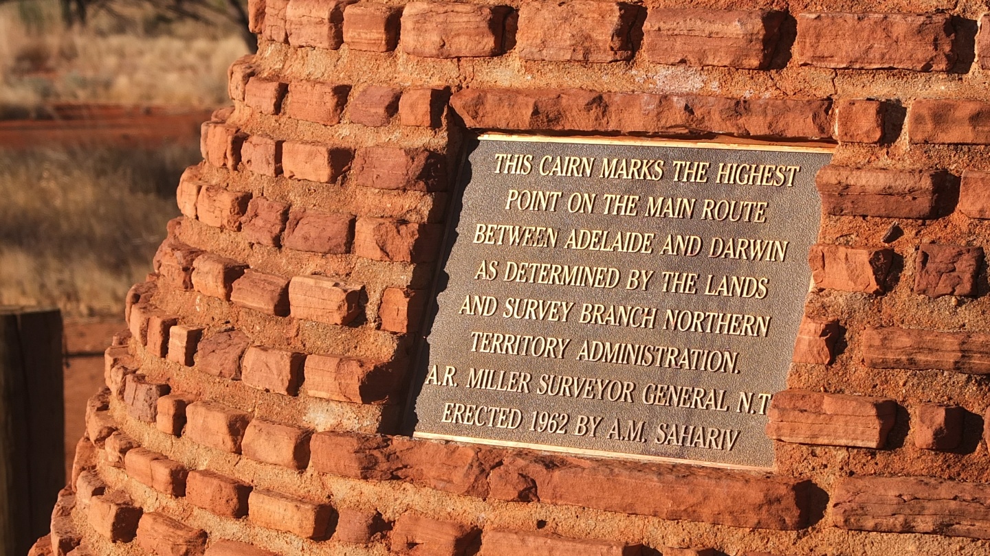
This cairn marks the highest point on the main route between Adelaide and Darwin as determined by bla bla bla…
11km later…
I’ve reach the rest area. 31km today, easy :-)
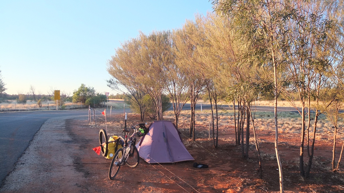
Hop! the tent is pitch. I’m so lucky that John (from “The Team”) gave me a hammer because since that day I’m using it every single day. The ground is dry and hard here.
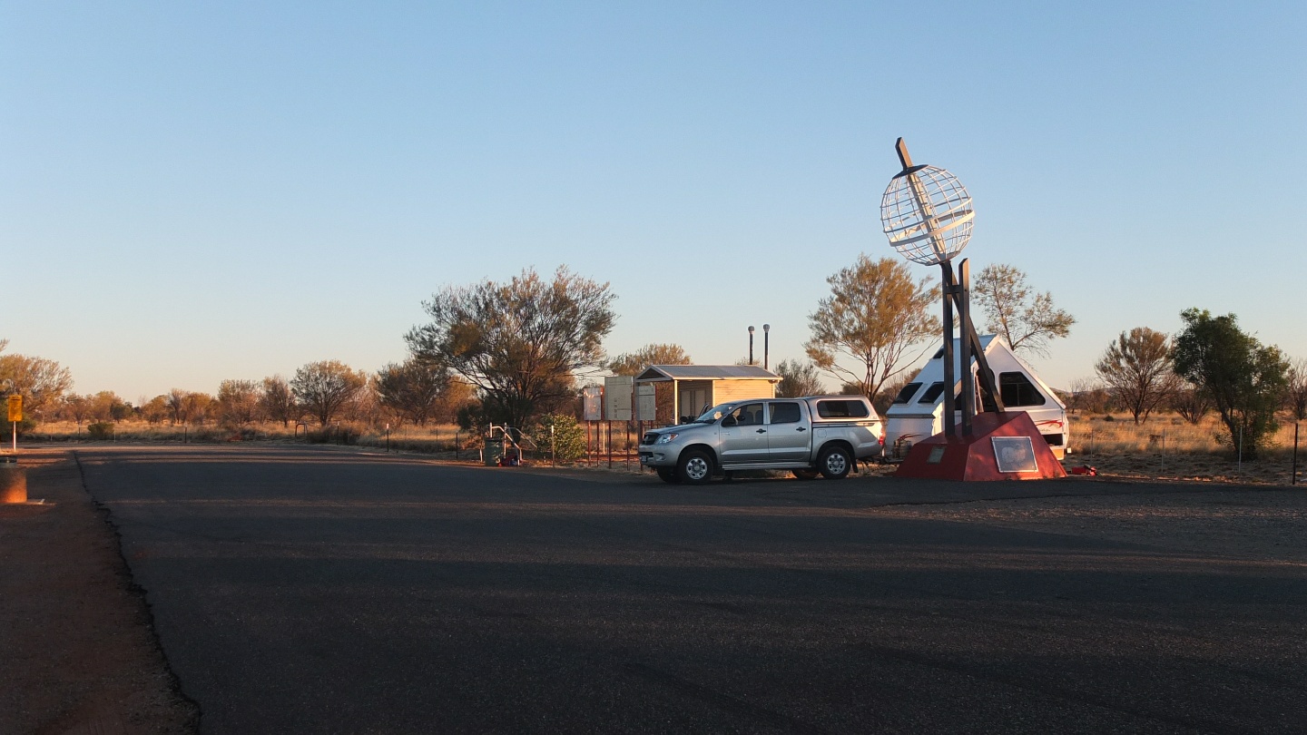
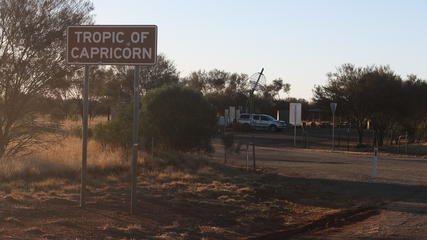
The Tropic of Capricorn monument :-)
I’m very happy to be on the road again. Destination Darwin! Youhouuu! Here we go!
It looks like the tent is located side of the road….
I am glad you are enjoying the tough touring.
Alors maintenant tu campes carrément sur le trottoir ? De mieux en mieux !!