Third and last day of this very nice Emu Run Tour. As usual, we moved at 6am from the campsite and drove directly to Watarrka (Kings Canyon). We did the 3 hours ring walk which is again, different from Uluru and Taka Tjuta. There is about 500 steps to start then we stay onto the top almost all the time. That way we enjoy the view of the landscape several times. Finally we drove back to Alice Springs where I will spend another night in the backpacker and get my stuff back.
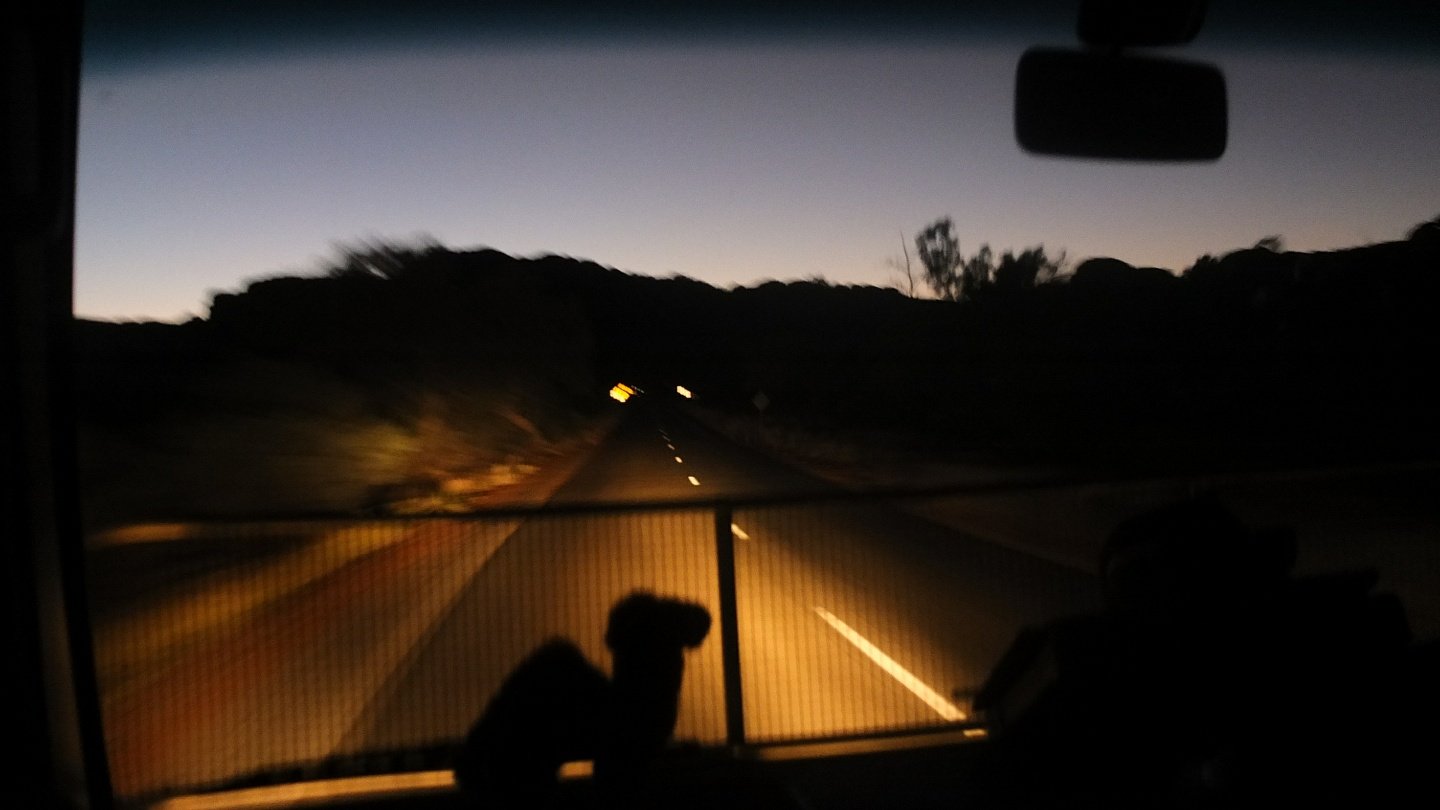
6:00 we’ve just left the campsite. Last night was very good and I’ve seen one shooting star. The sky was great but not as clear as I expected.
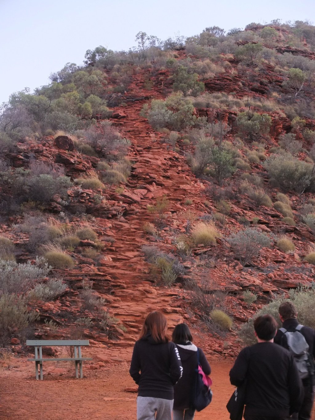
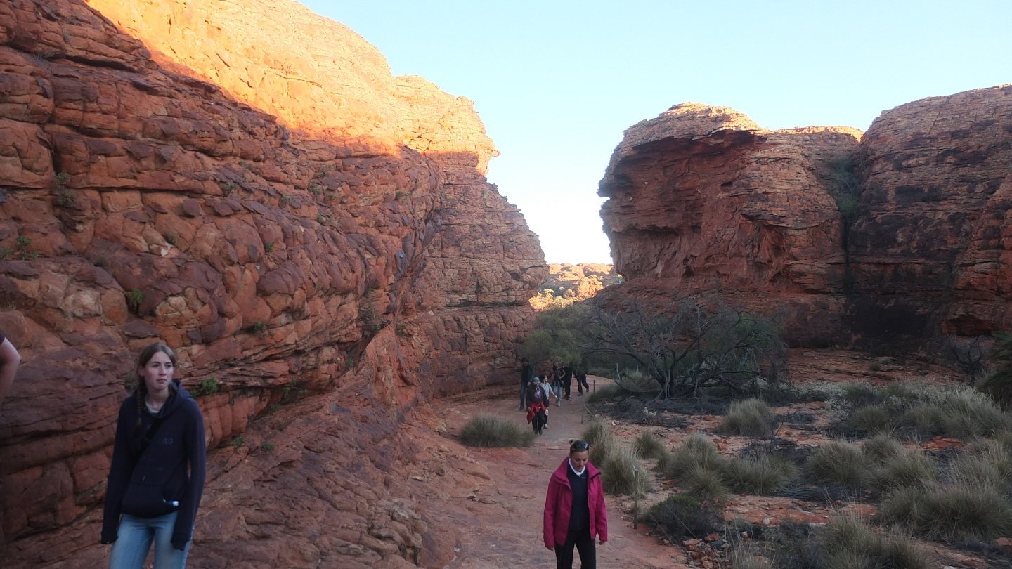
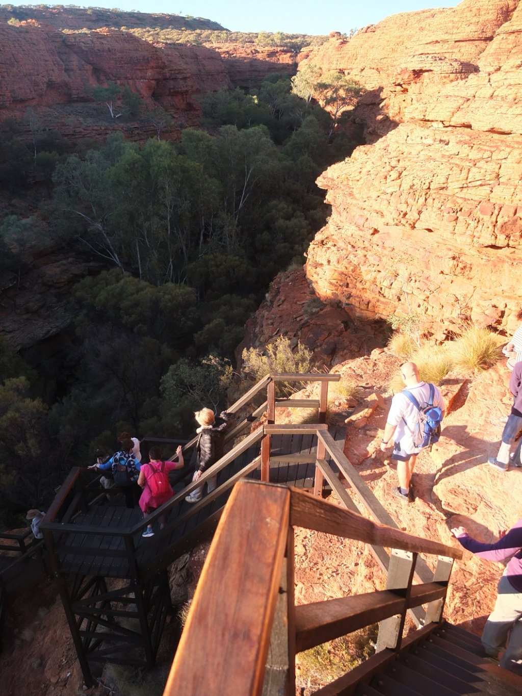
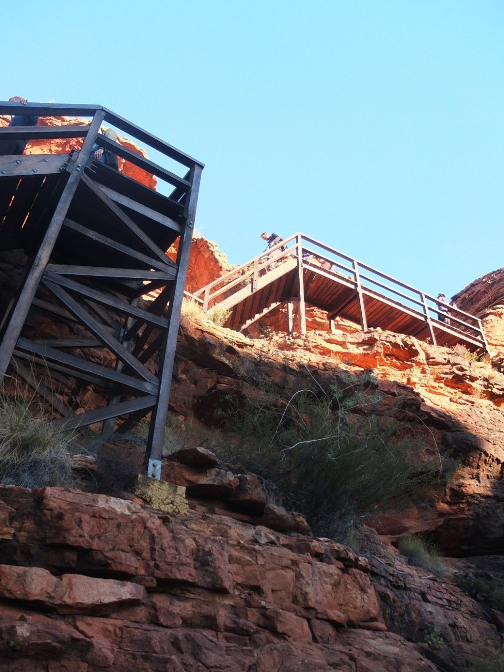
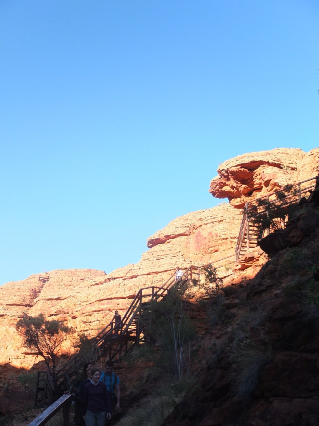
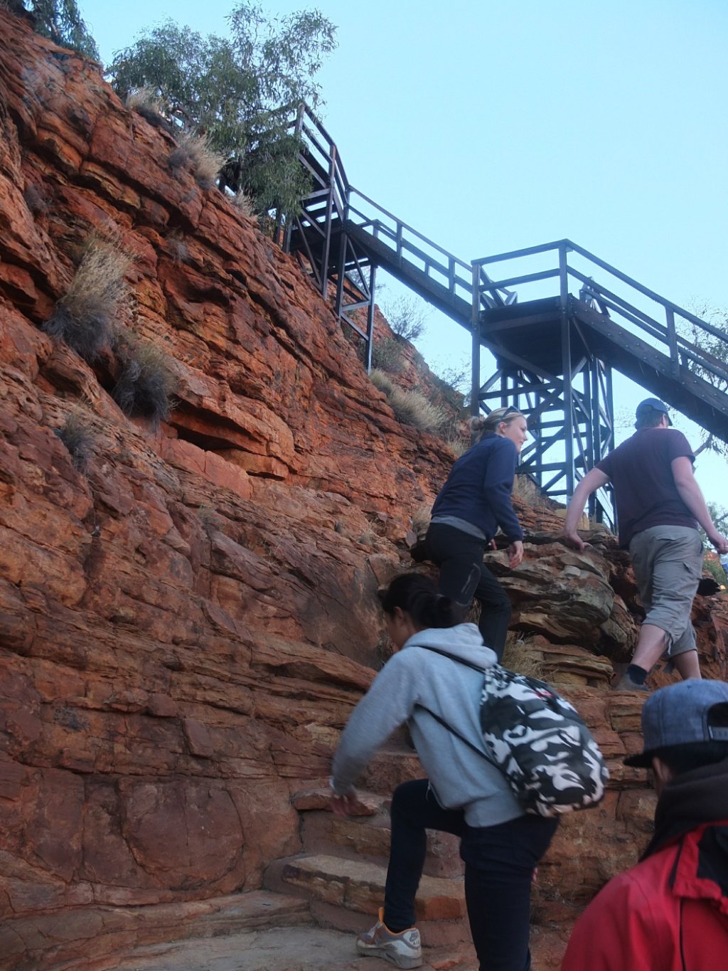
That’s the beginning of the walk. As you see, the steps are not really consistent so there is ABOUT 500, maybe less, maybe more. But we don’t care! We just want to climb those and enjoy the view! Let’s do it!
This is not the top yet but the view looks good already.
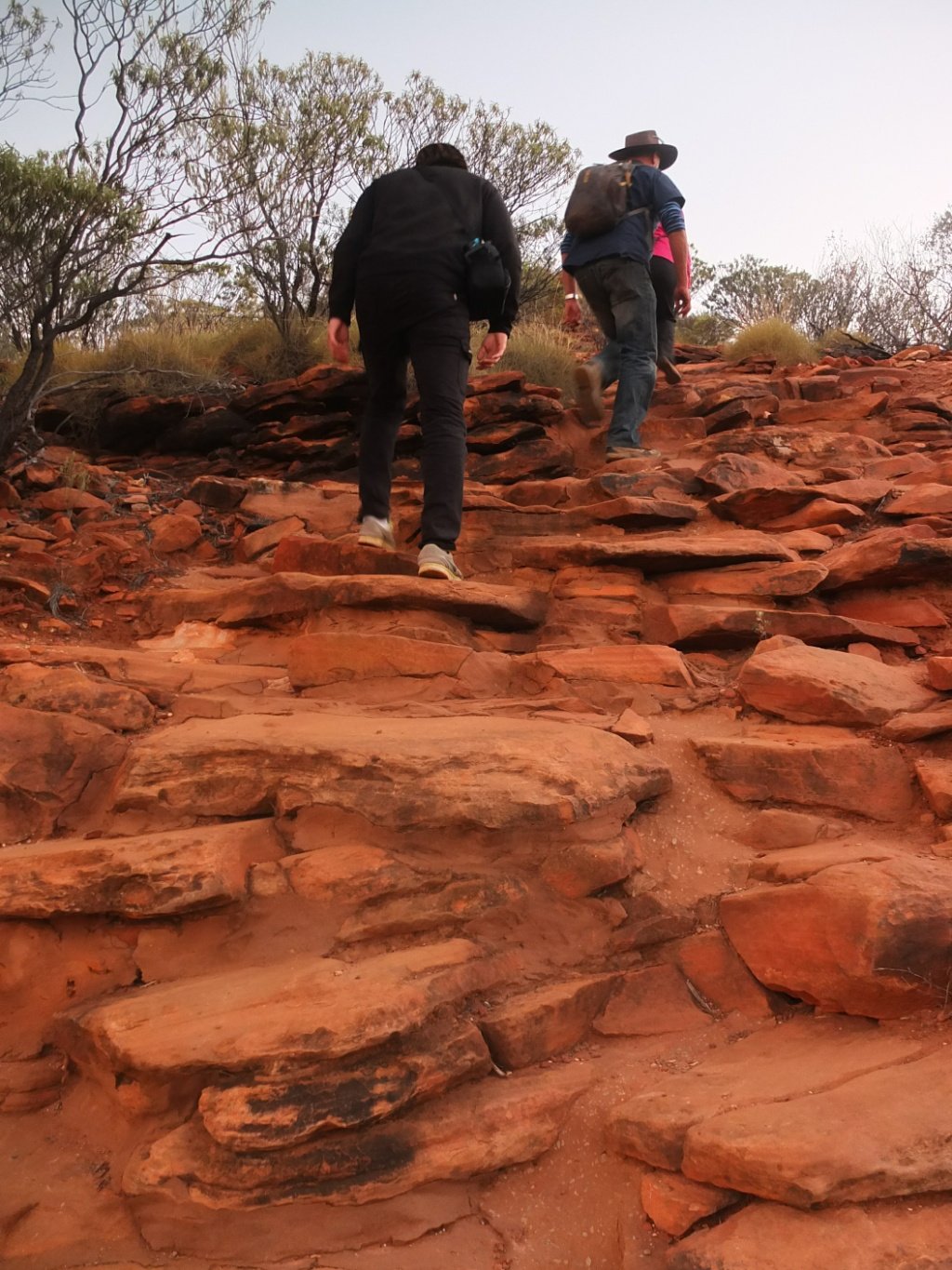
The steps.
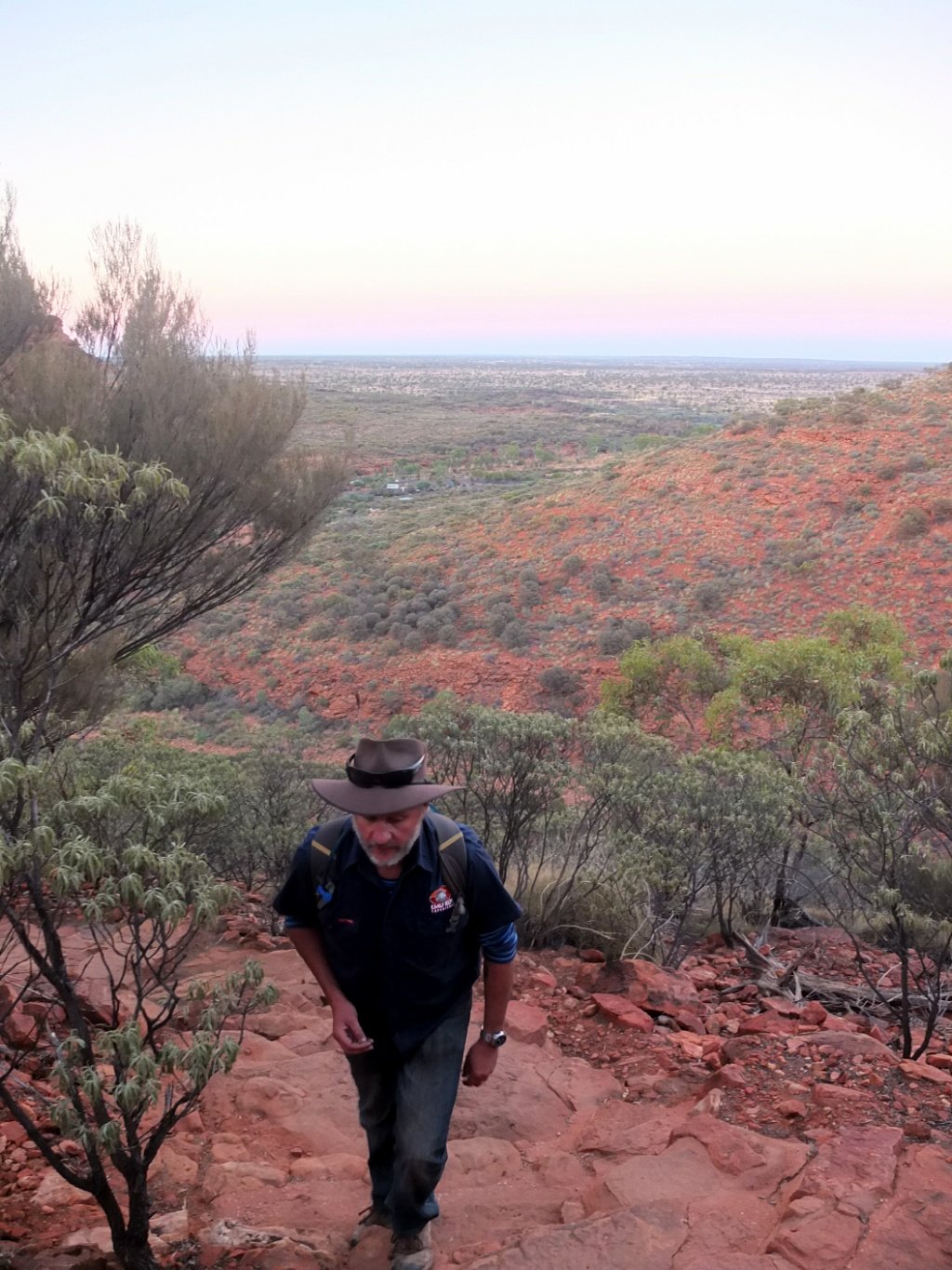
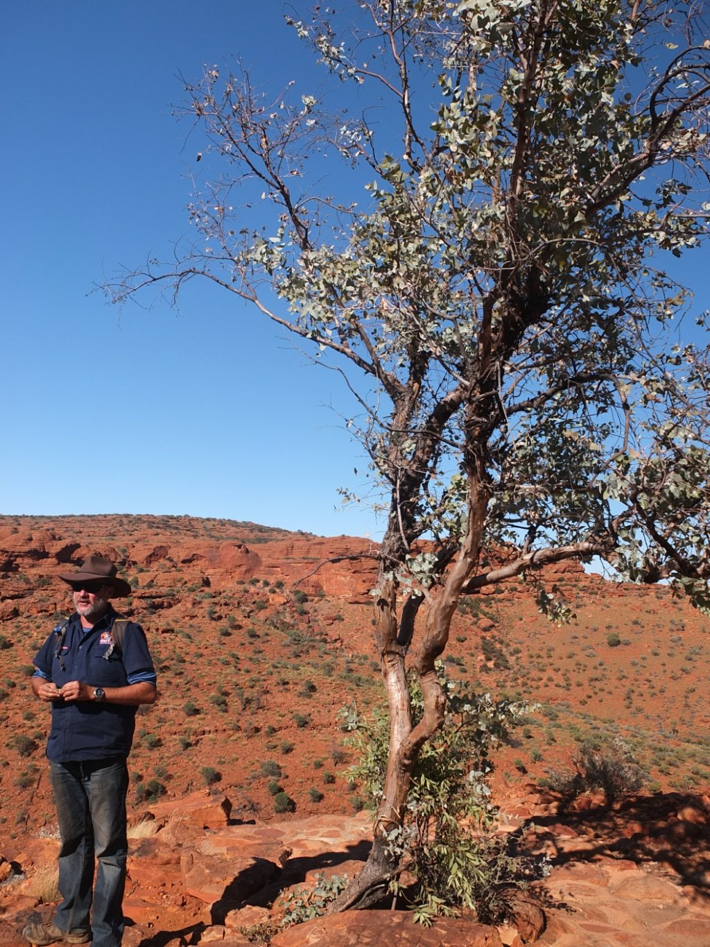
Bez, our guide. He his doing this walk twice a week so he must be fit :-)
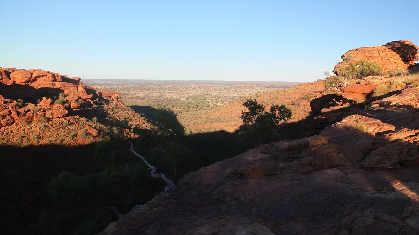
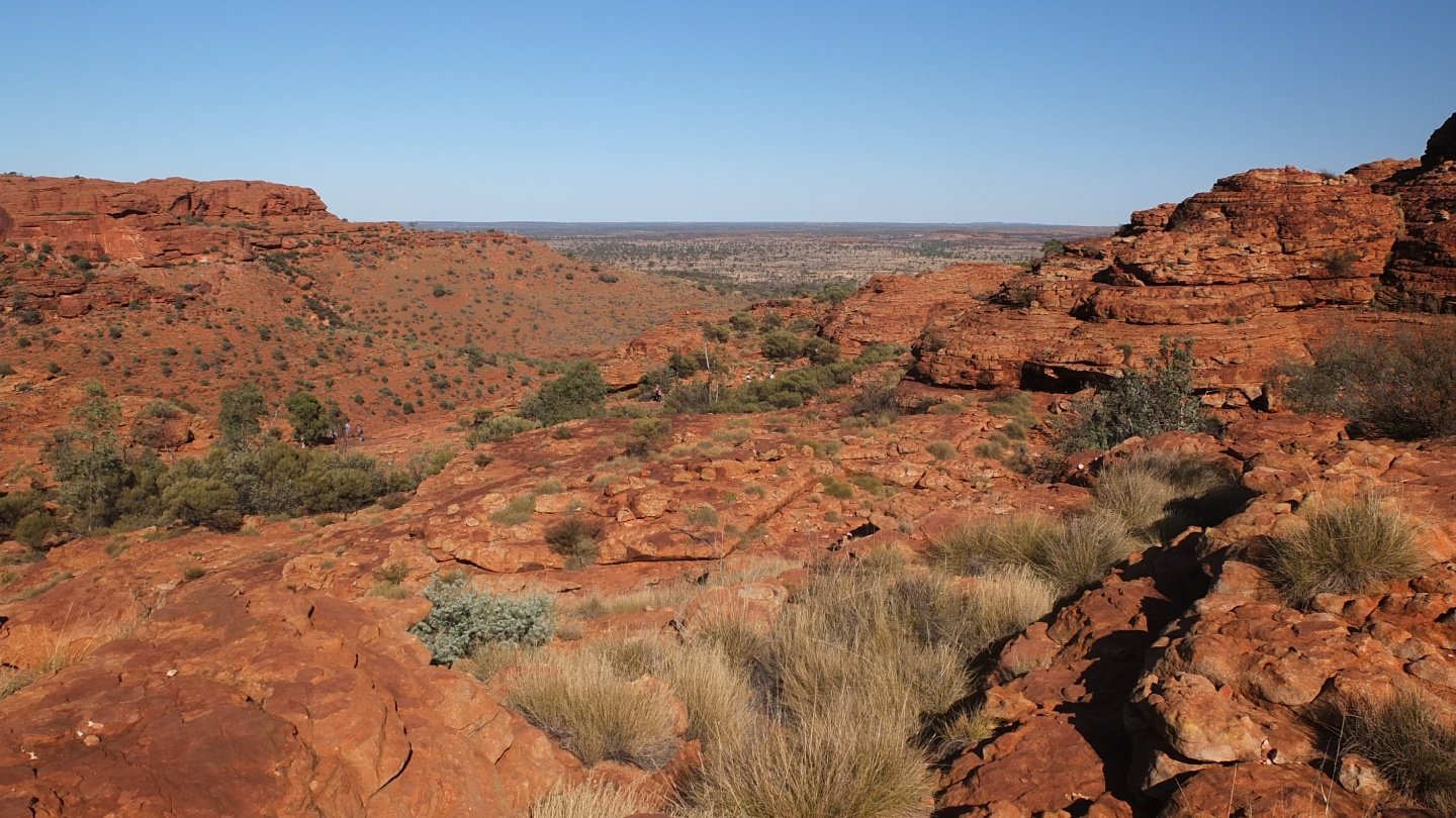
Apart the Watarrka area, the rest is flat.
The sun is coming.
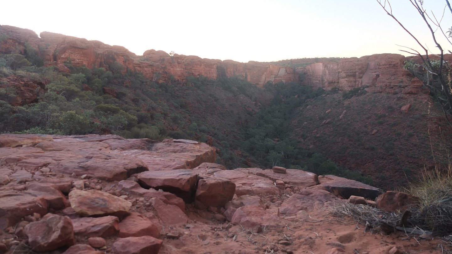
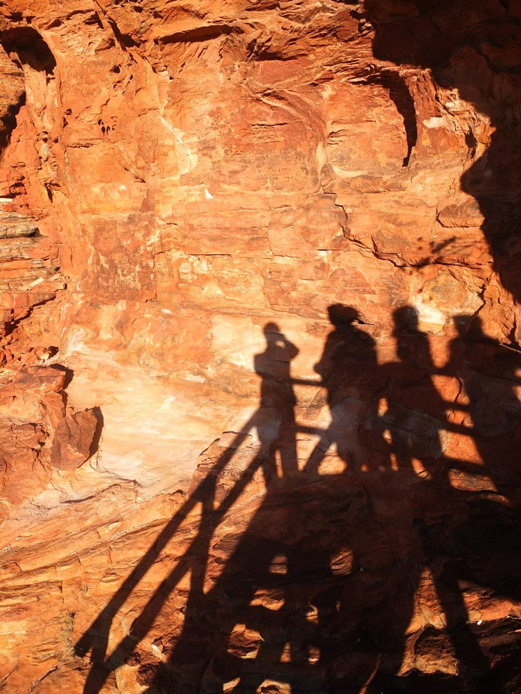
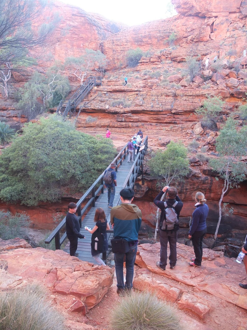
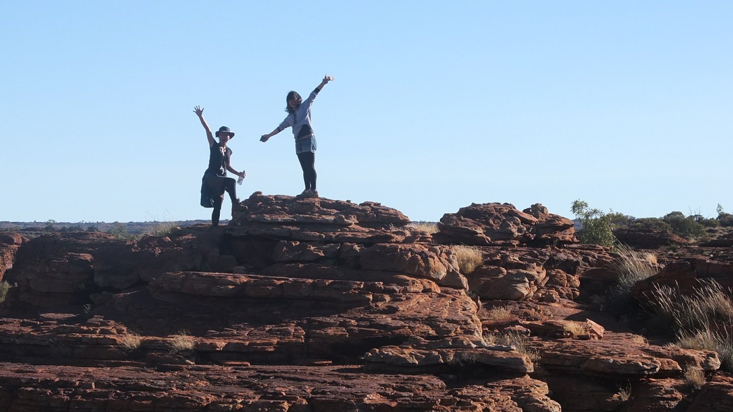
We are going to walk all around :-)
Few, looks good!
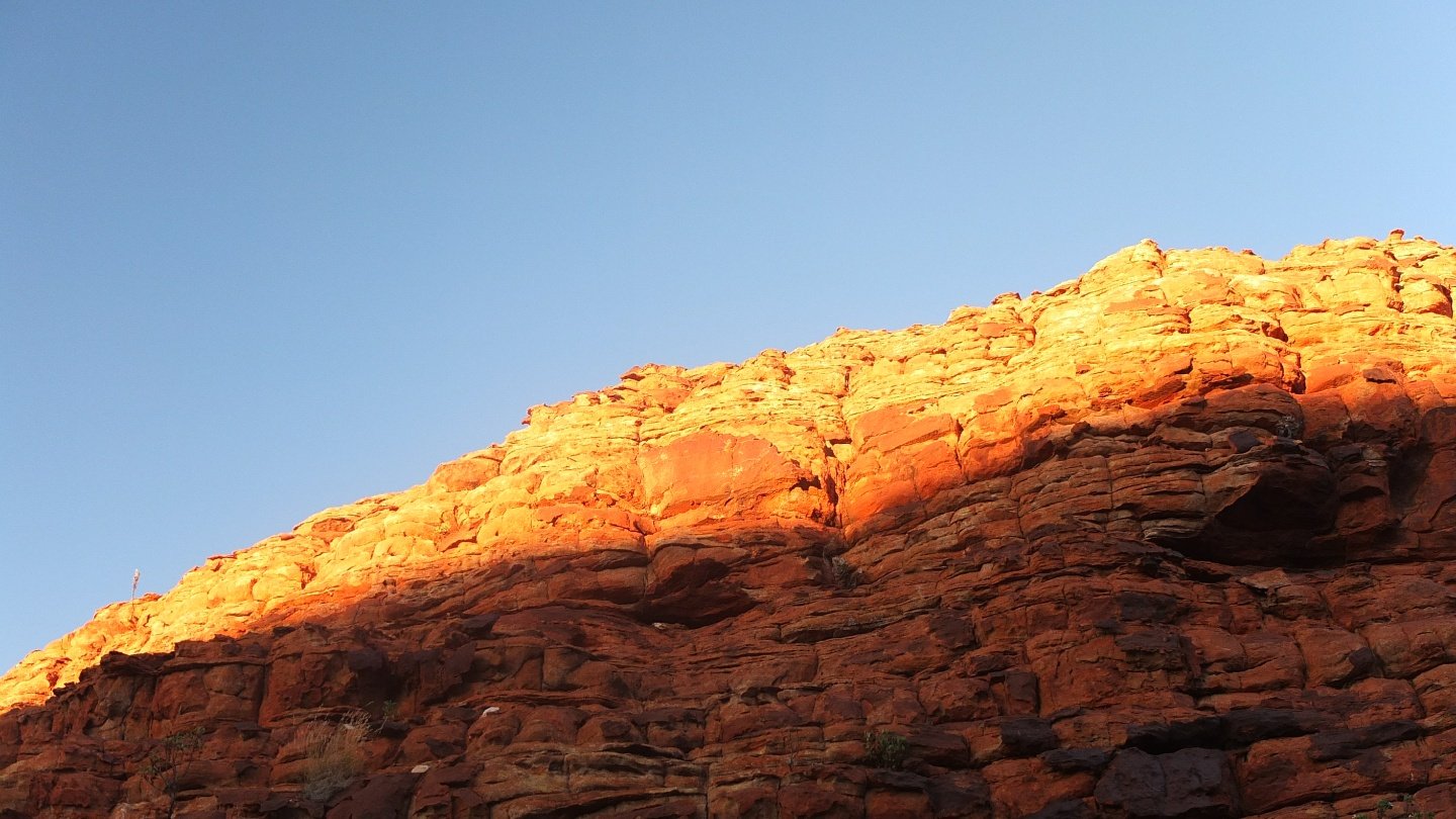
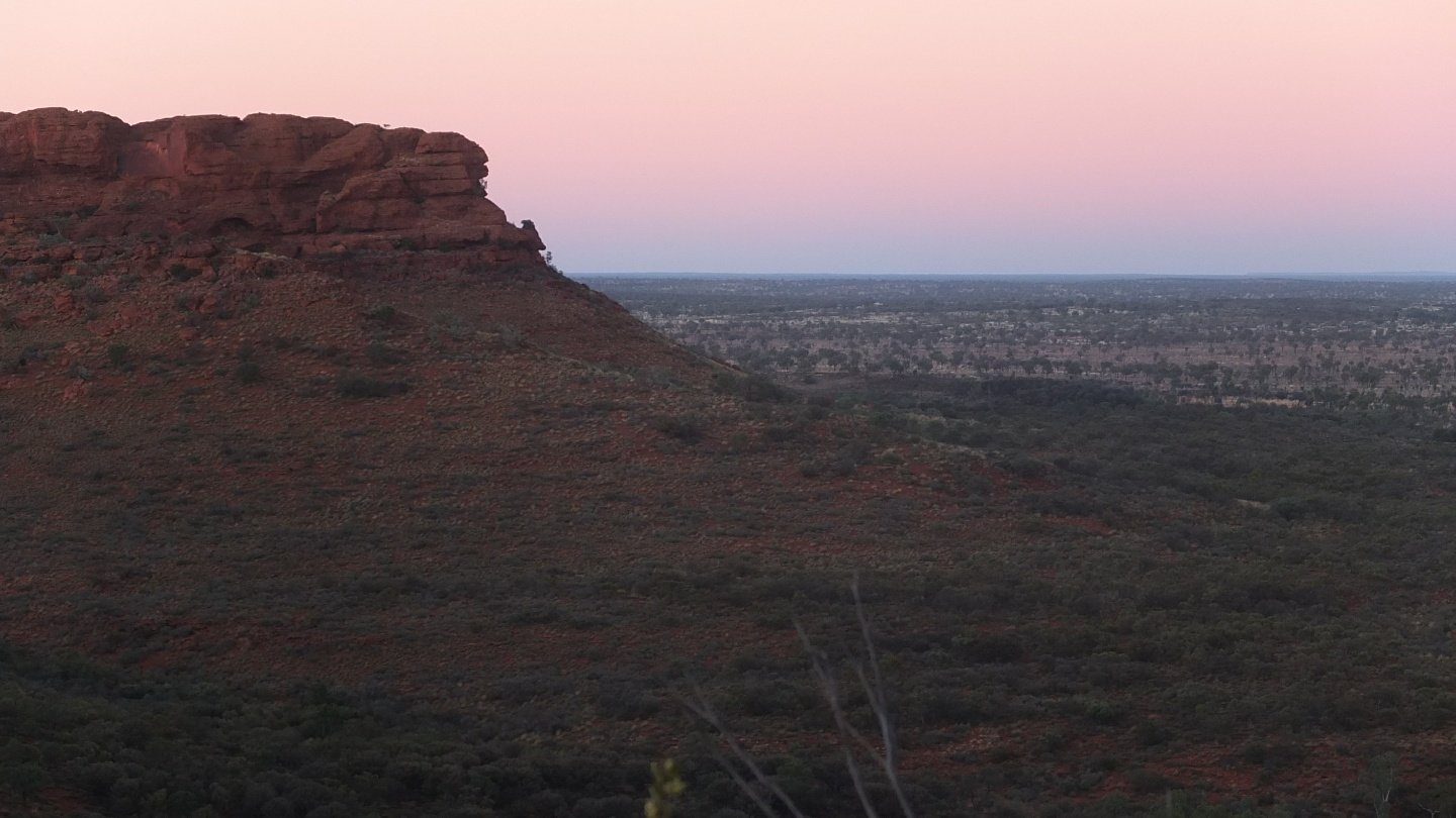
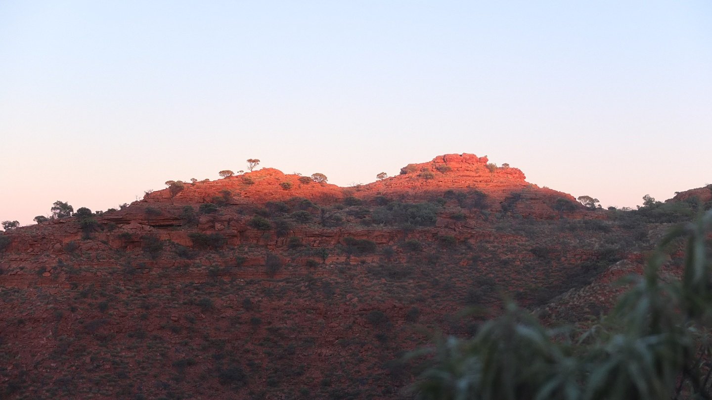
Slowly, the sunrise paint the rocks with its warm rays.
Kings Canyon video at sunrise.
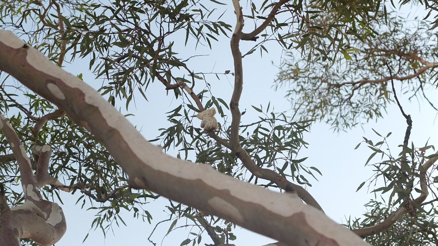
Earlier, Bez told us that there is a special kind of Koala in this area called the “Drop Bear”. Drop Bear because they fall of the tree when they got scared. In fact, when we arrived at the right place, everyone was looking for a descent Koala size but this is a just a toy… Good joke? Bad joke?
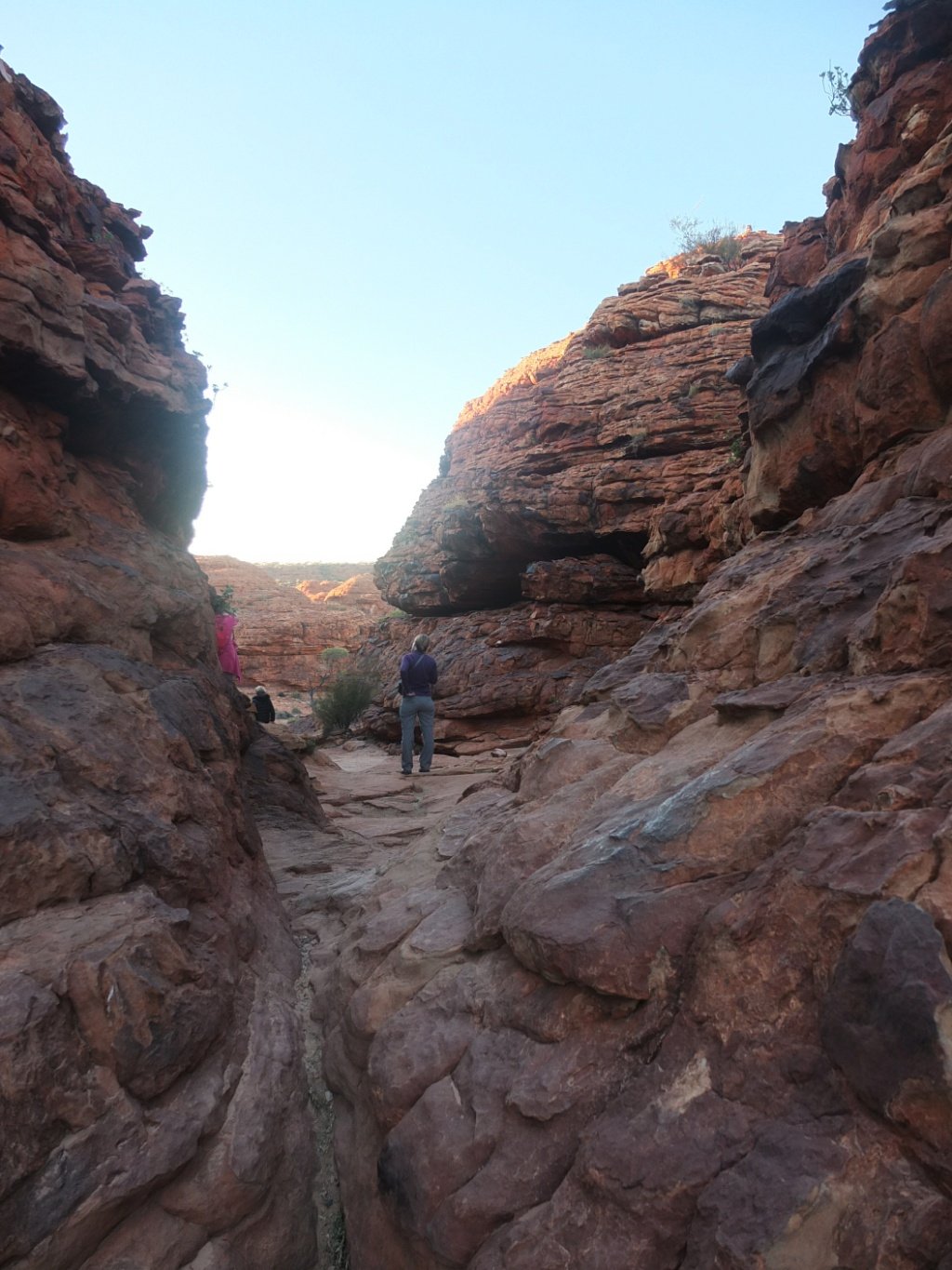
And we continue walking around.
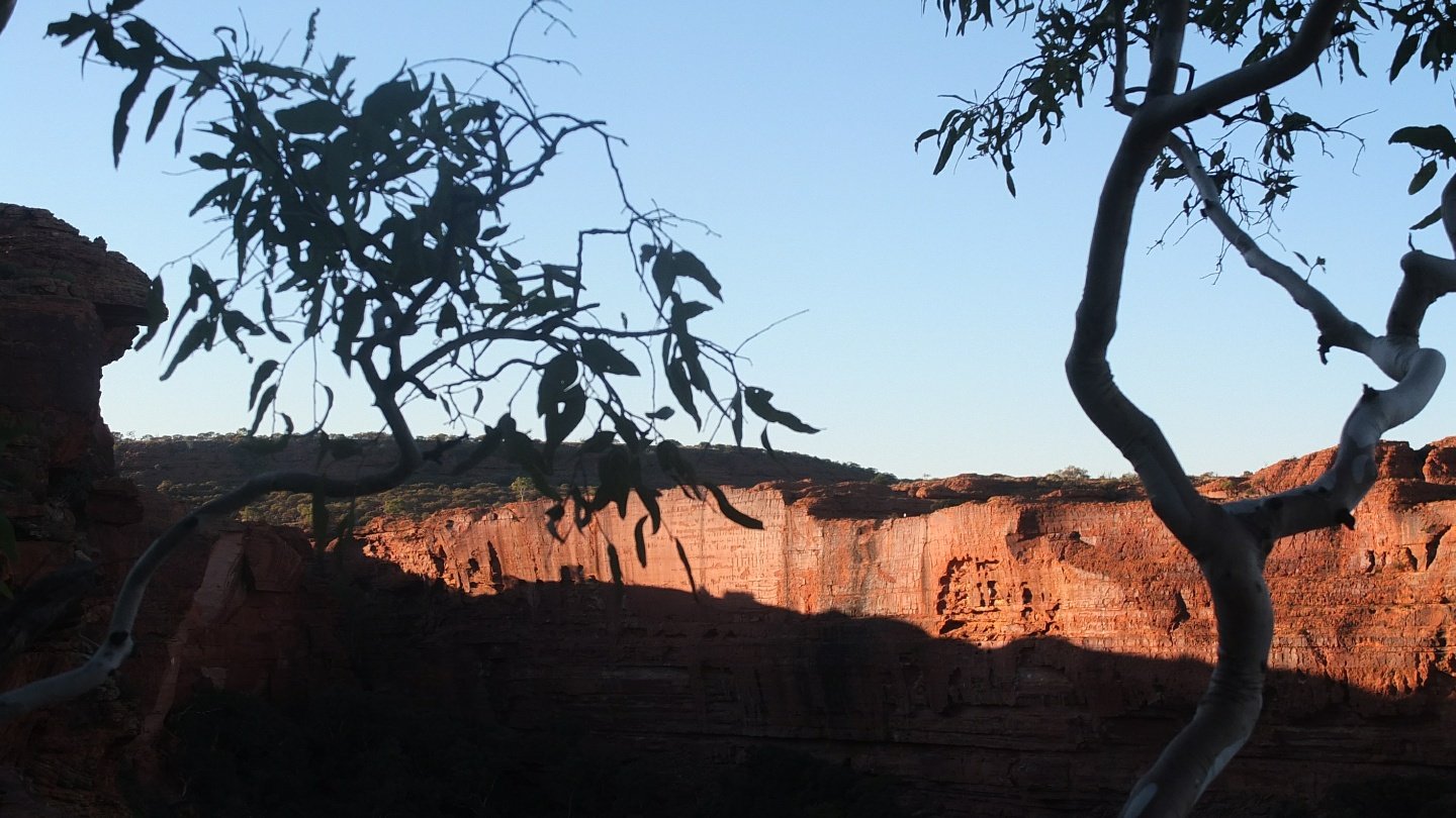
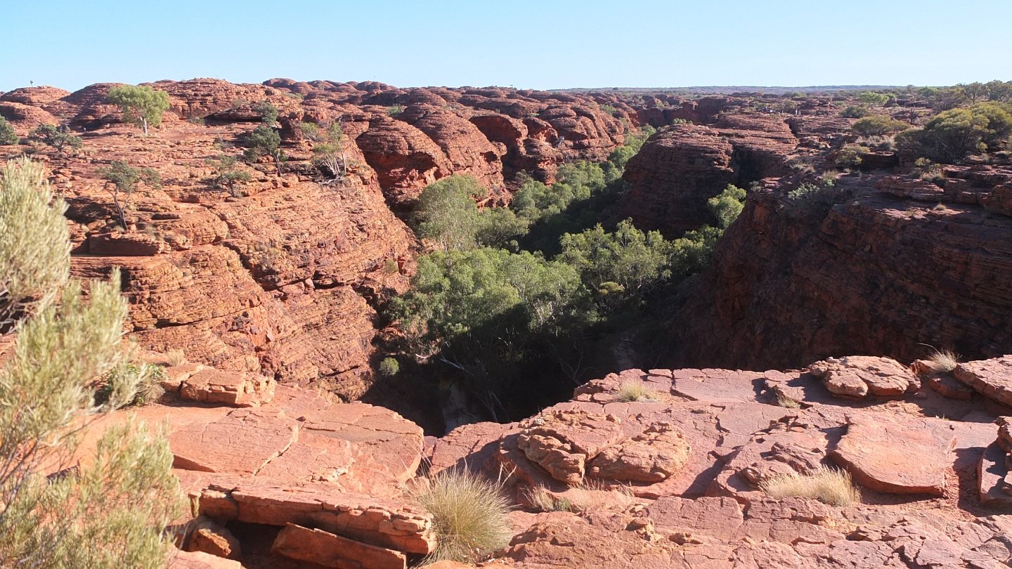
These rock formation are impressive. Million years ago, the sea was covering this area which is hard to imagine.
Come on sun.
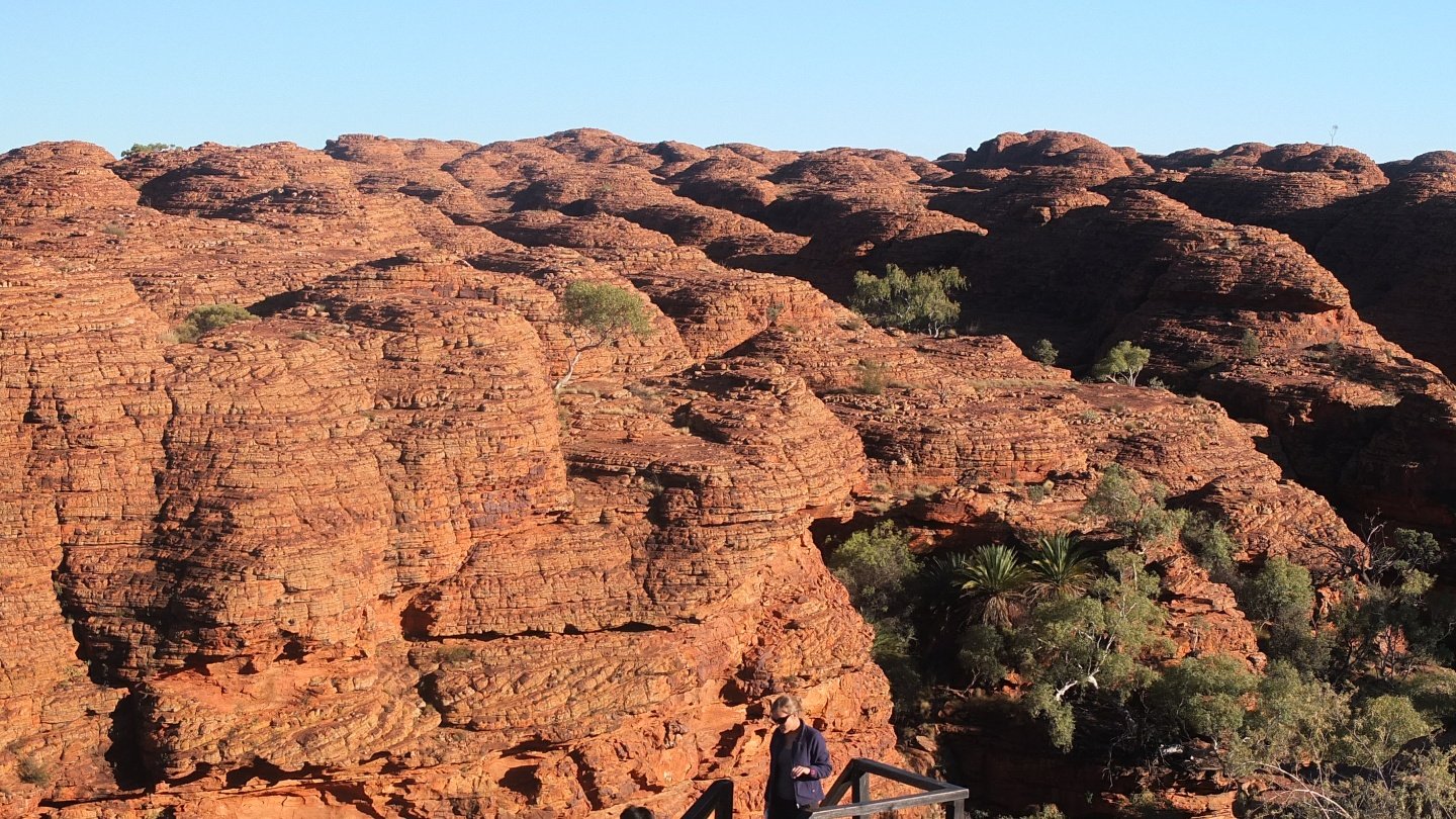
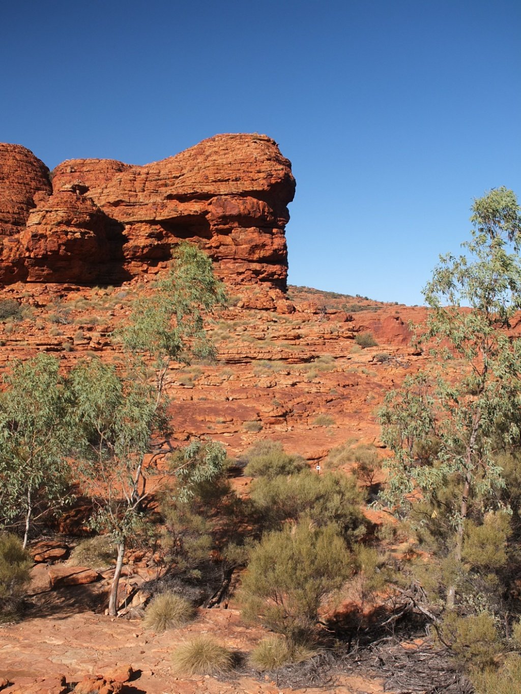
So many domes.
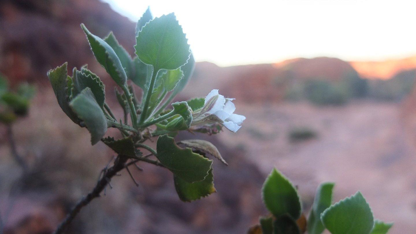
Random plant.
This is the way.
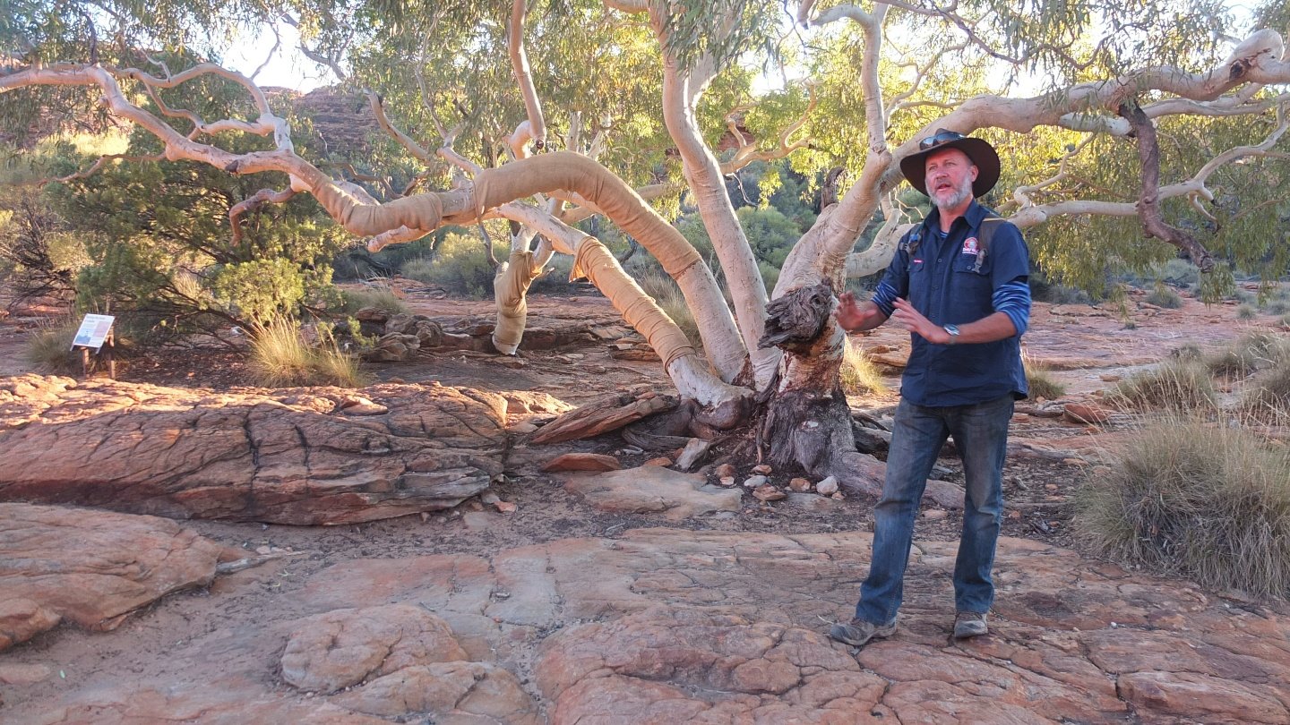
This tree as been covered to protect it from people who only think about themselves and right silly stuff on its branch. The big problem is that way, the scars kill the tree. This tree as another particularity. Depends of the season and the amount of water it gets, it can stop a specific branch growing to extend another one better. This is why there is dead bit on it. Quite clever!
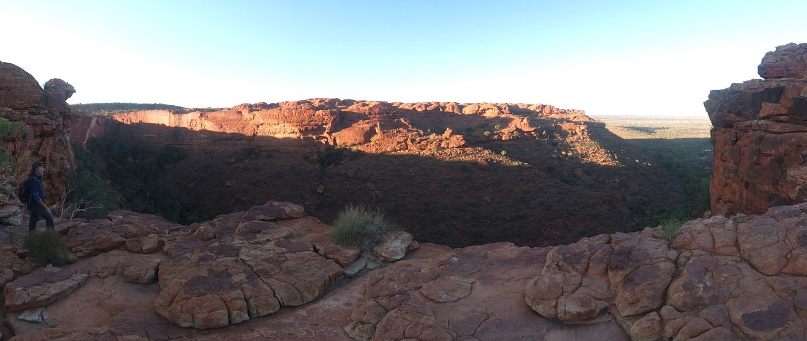
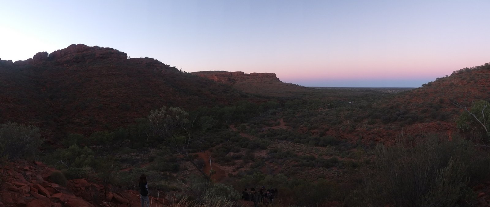
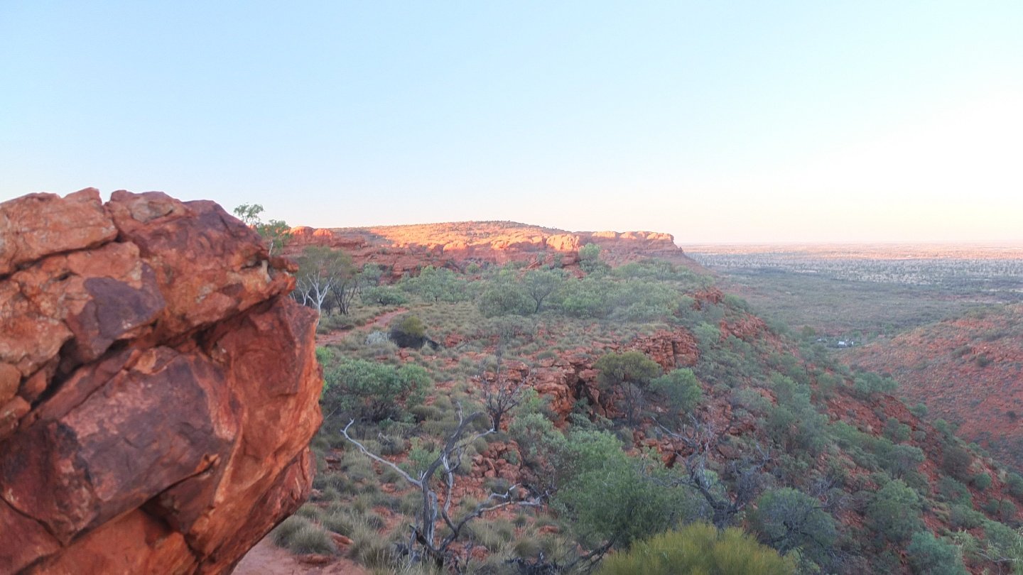
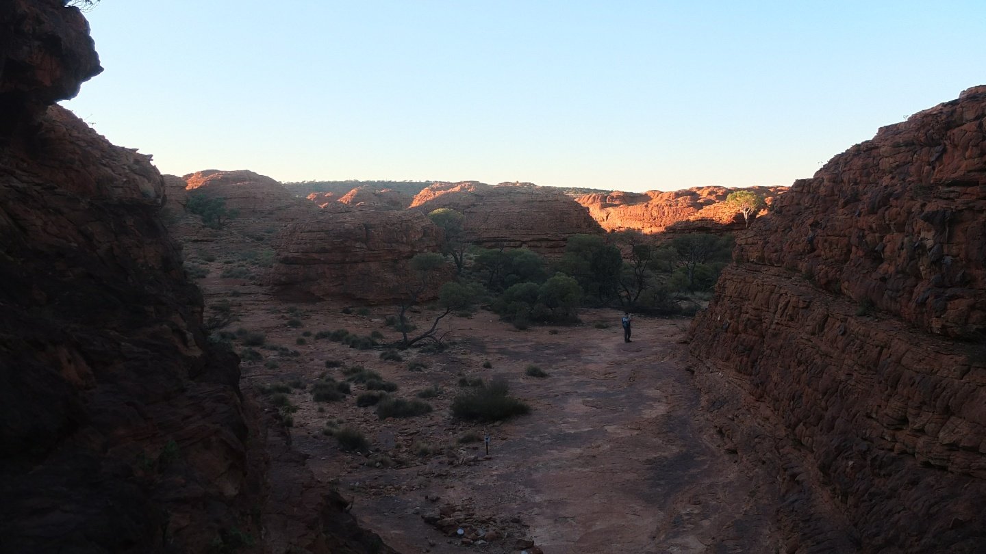
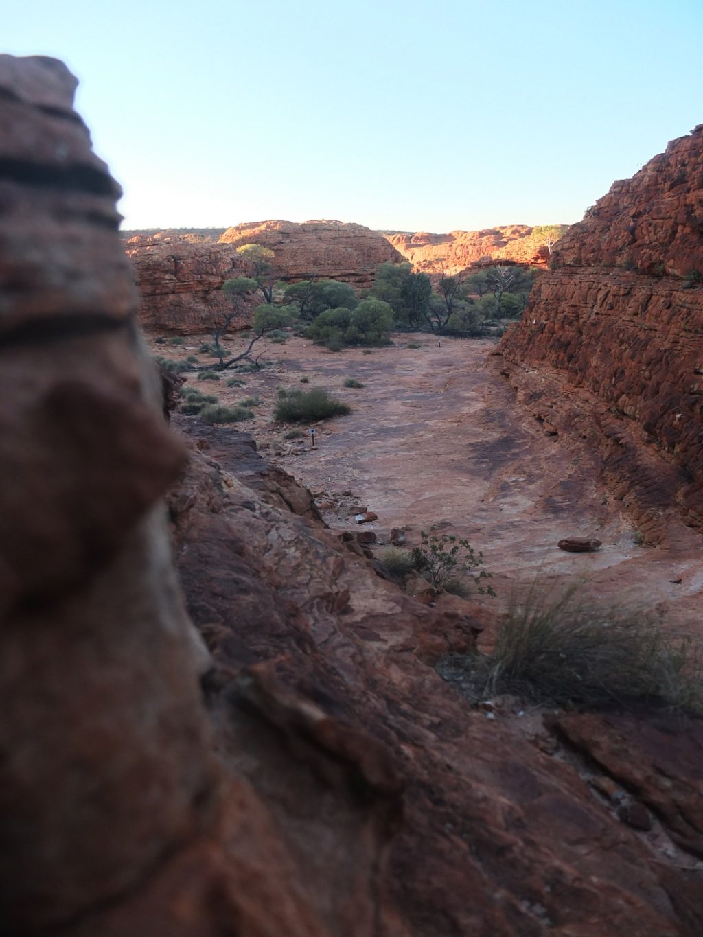
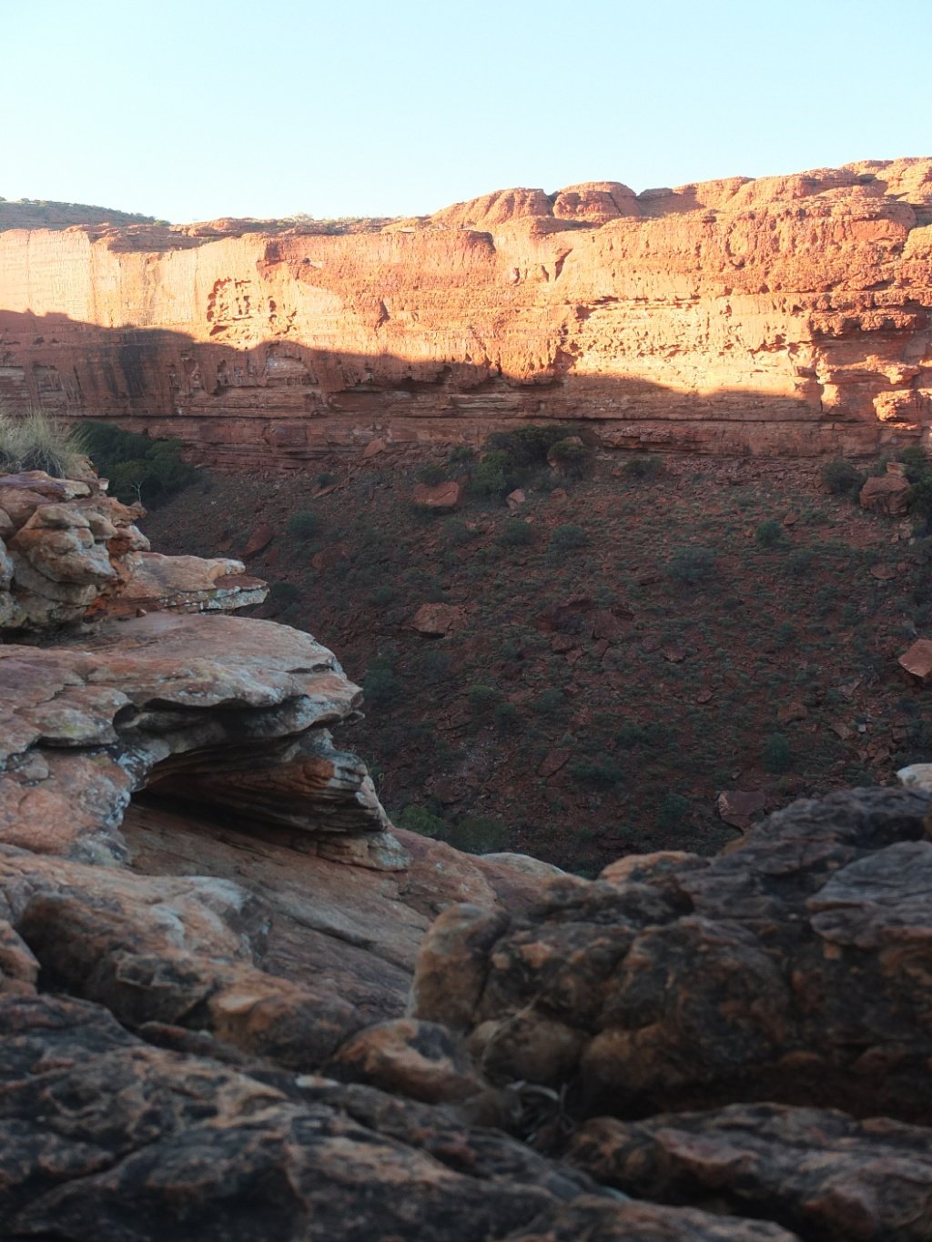
Nice view on the valley.
We will be on the other side later on.
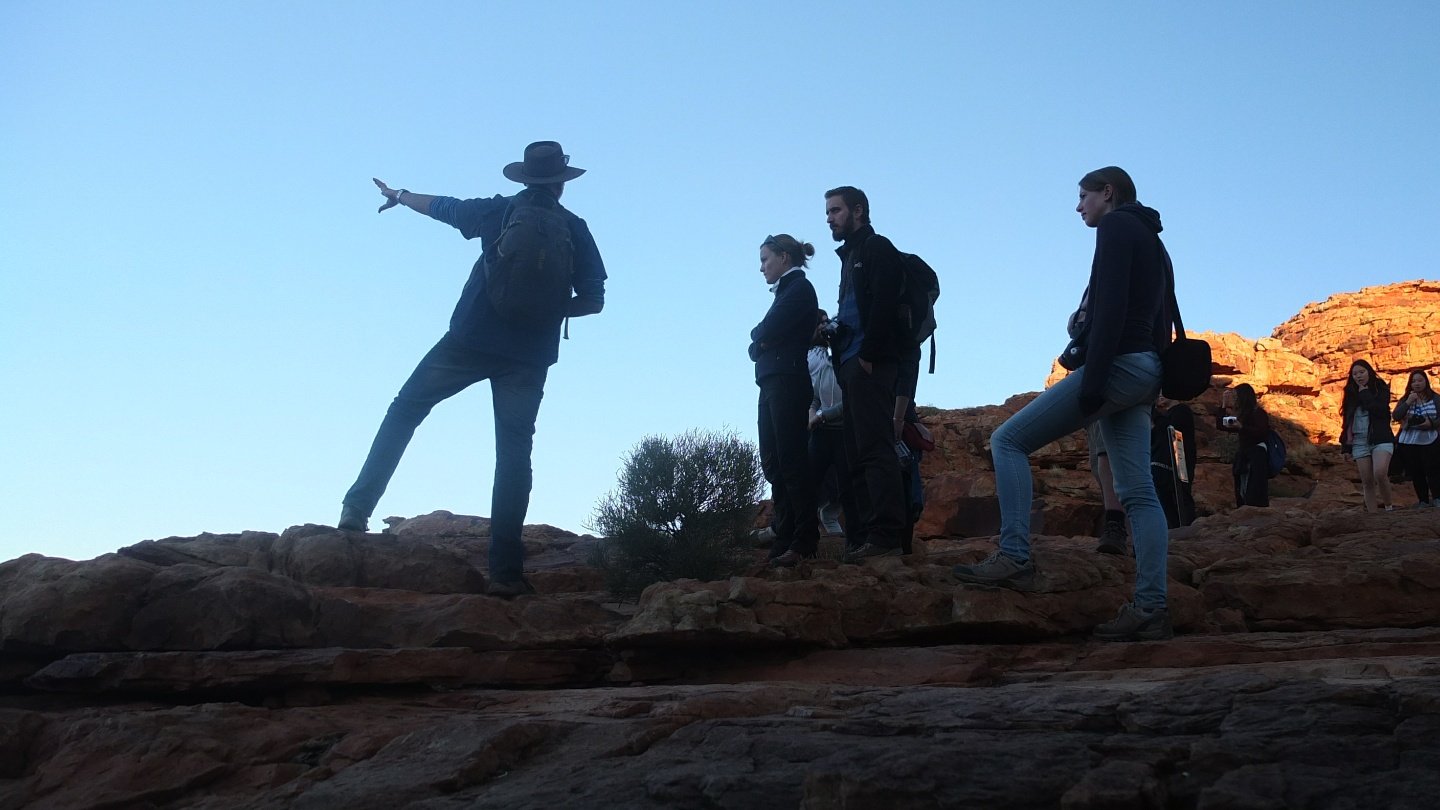
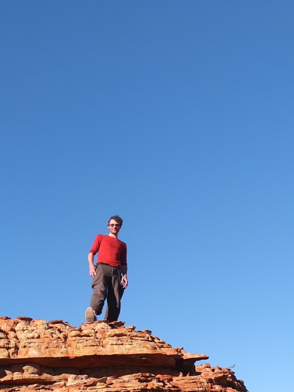
Bez in action.
The man who discover this place named it Kings Canyon after his friend.
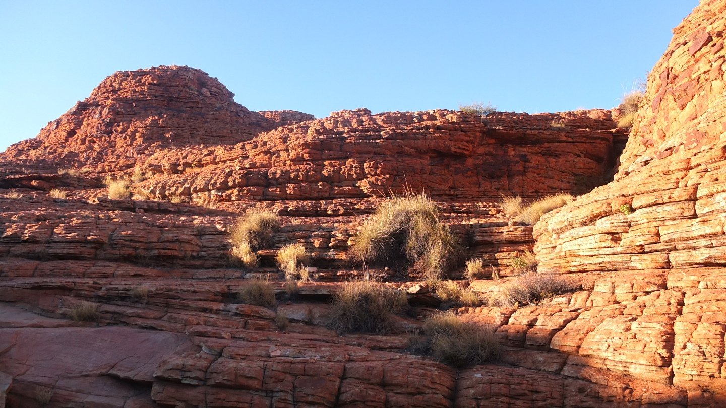
It took millions of years to build that.
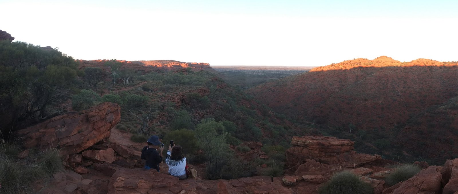
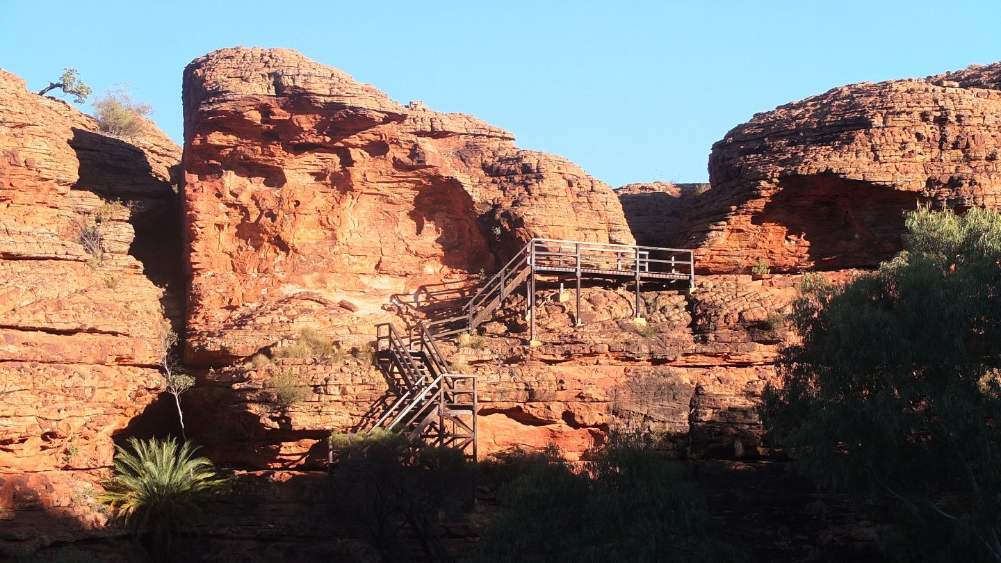
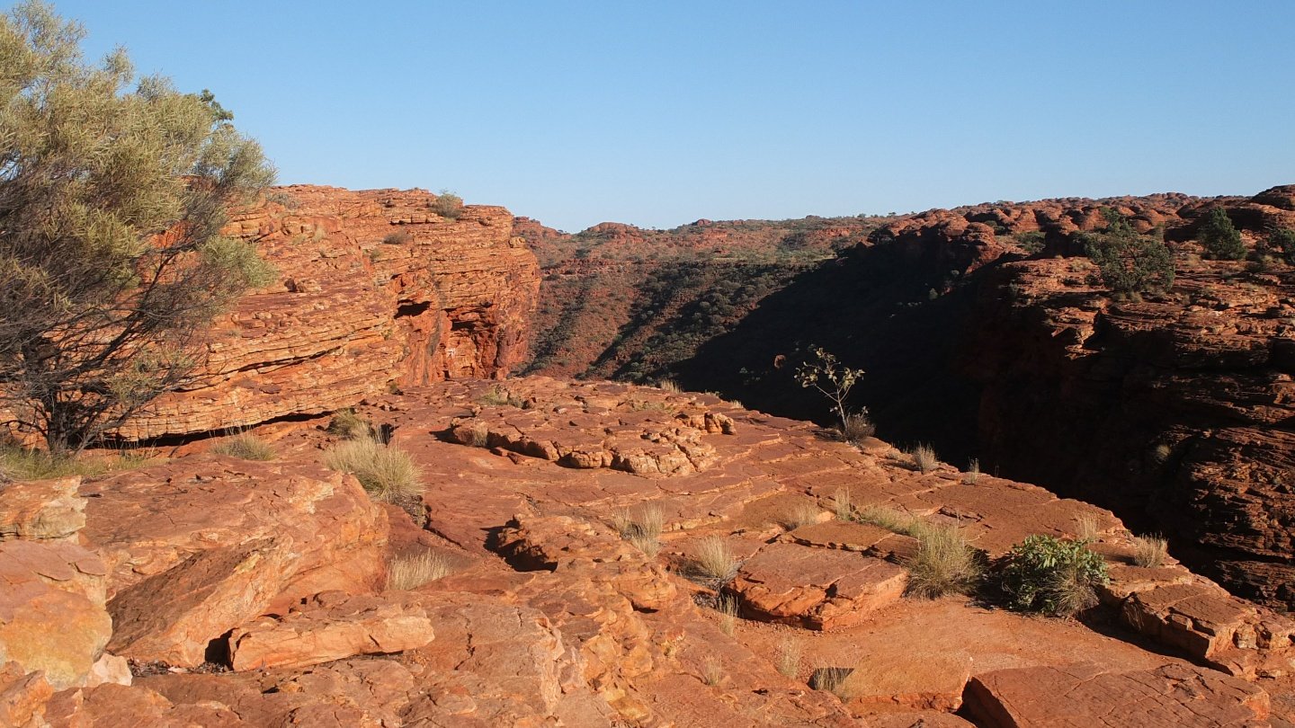
Another lookout.
Down to the hell.
Thanks for waiting :-)
This structure works well with the natural space.
Downhill.
We are almost to the bottom of this canyon which is not the main one.
Let’s come back up.
Where we come from.
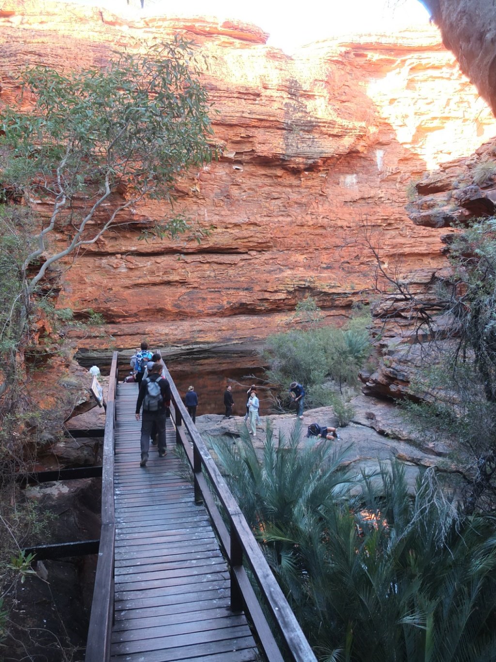
Before going on the after side of the canyon, we follow Bez to a special place.
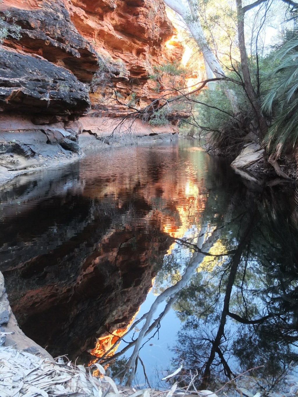
This place is called the Eden garden. People used to swim here but it’s not allowed any more.
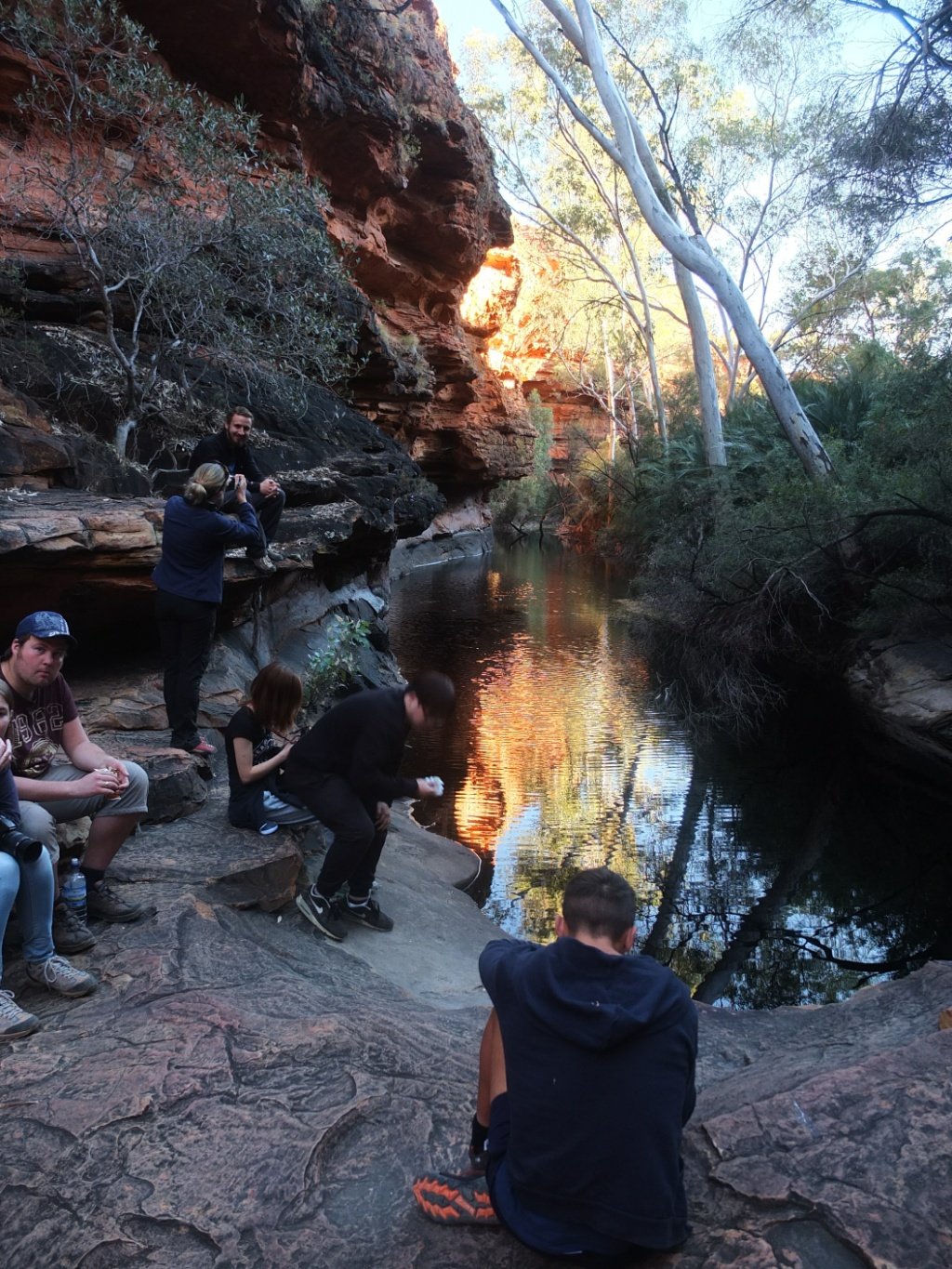
Break time.
1, 2, 3, 4… too much.
Japan :-)
Hello Japan!
From another dome.
The view.
We used to be on the other side.
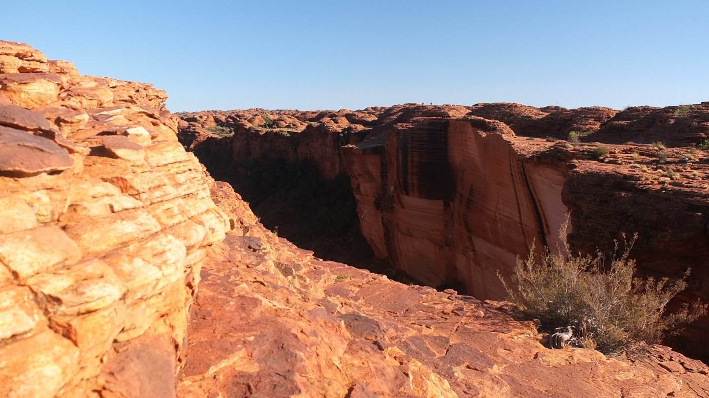
This cliff is more than vertical.
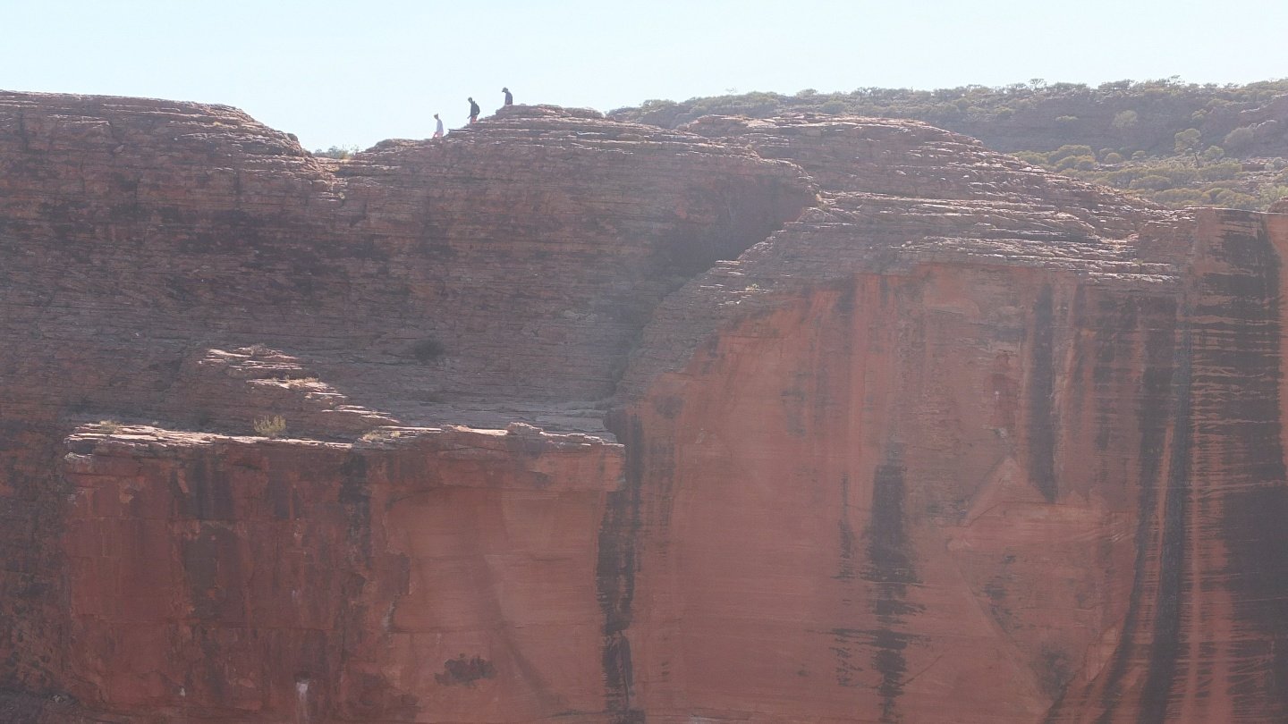
To get an idea of the size of it.
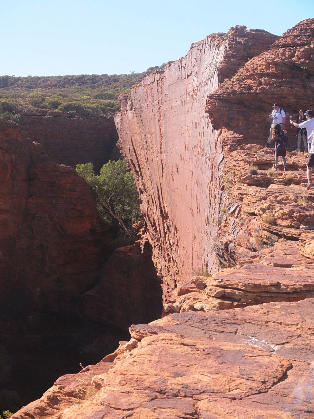
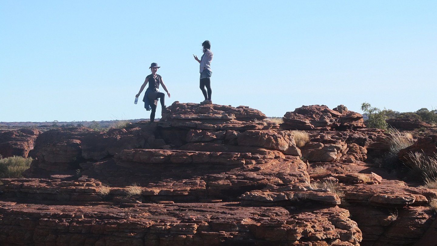
Our guide said this morning: “Minimum 3 metres away from the cliff please”. Unfortunately not everyone listen or is conscious of what they are doing.
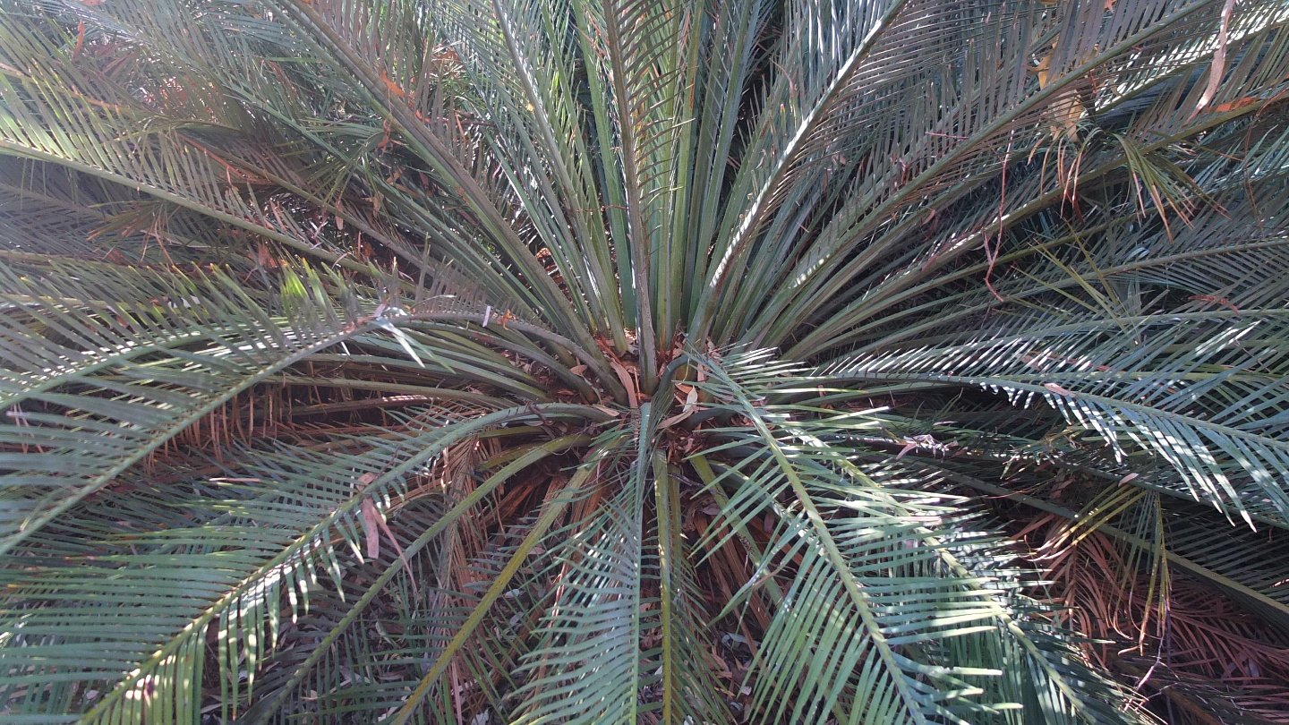
Not really common in the area, here a palm tree.
The valley again.
More rock landscape.
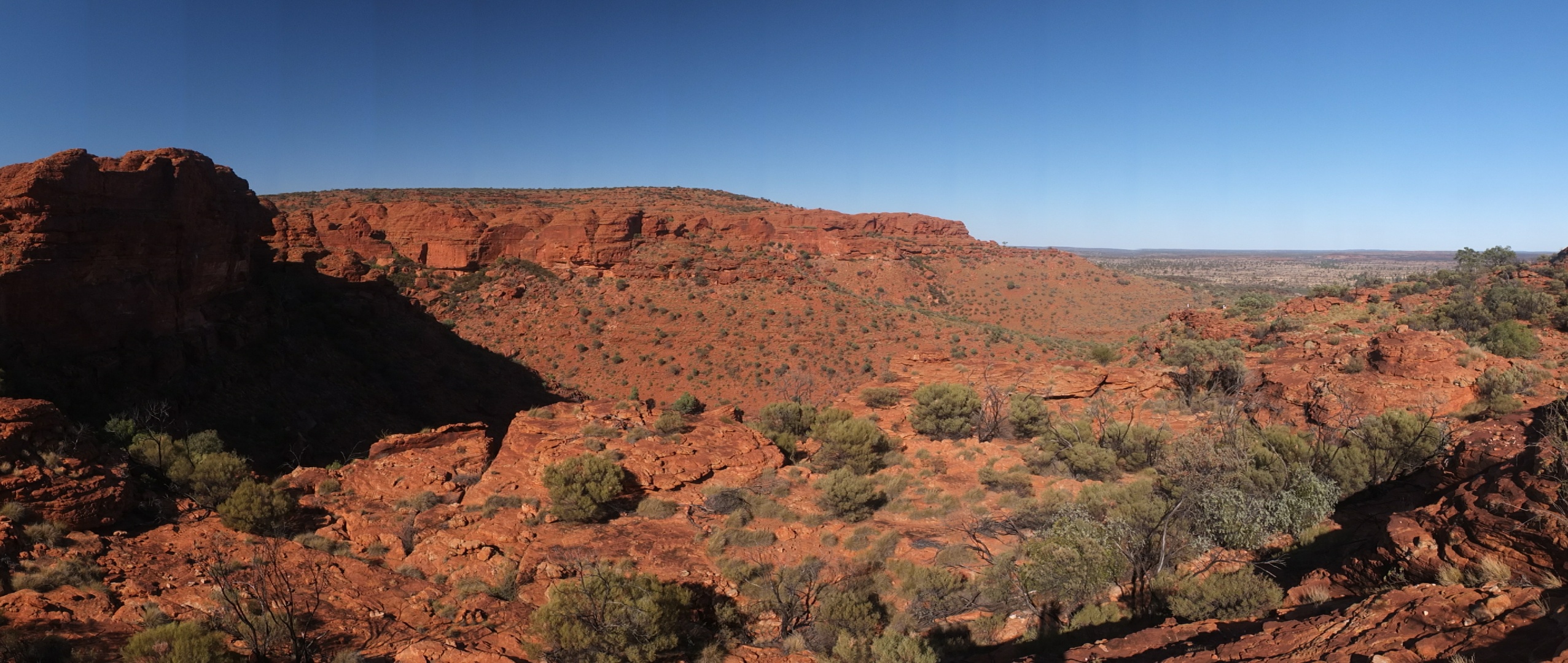
Panoramic view.
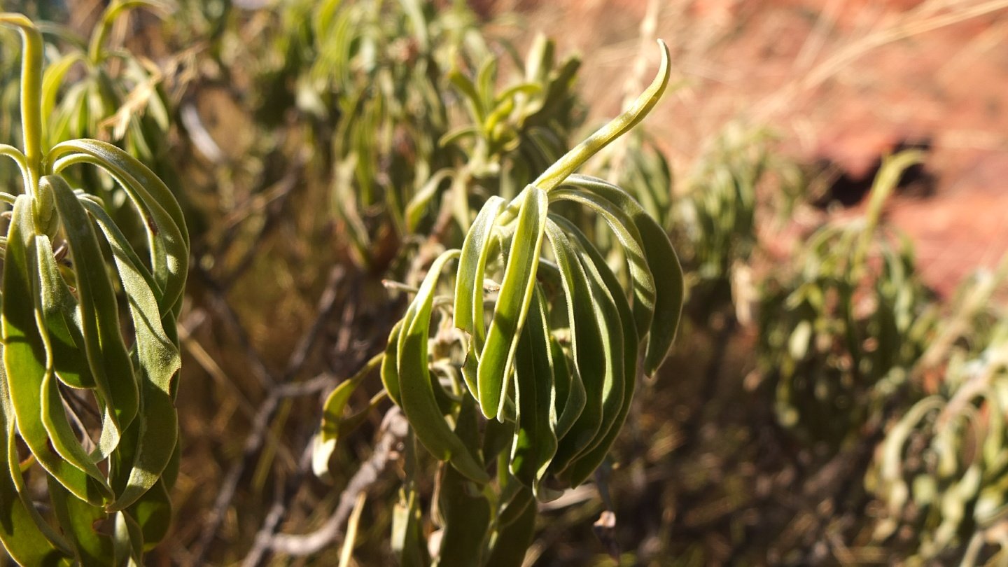
This plant is used by the Aboriginals when they have a cough. They grind the plant in a kind of bowl and apply the paste on their throat and chest.
Or maybe is this tree.
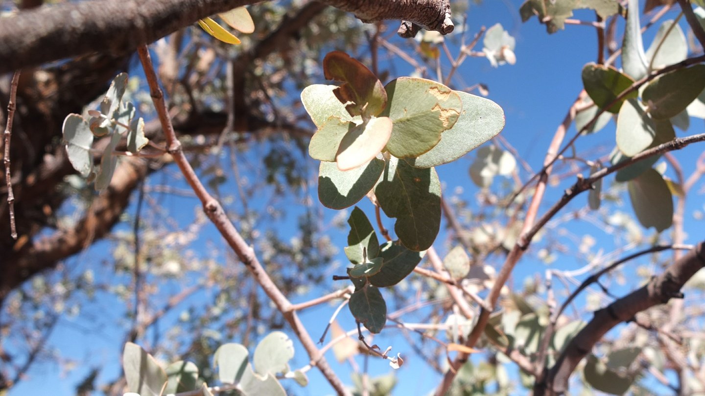
Those leafs smell almost like eucalyptus.
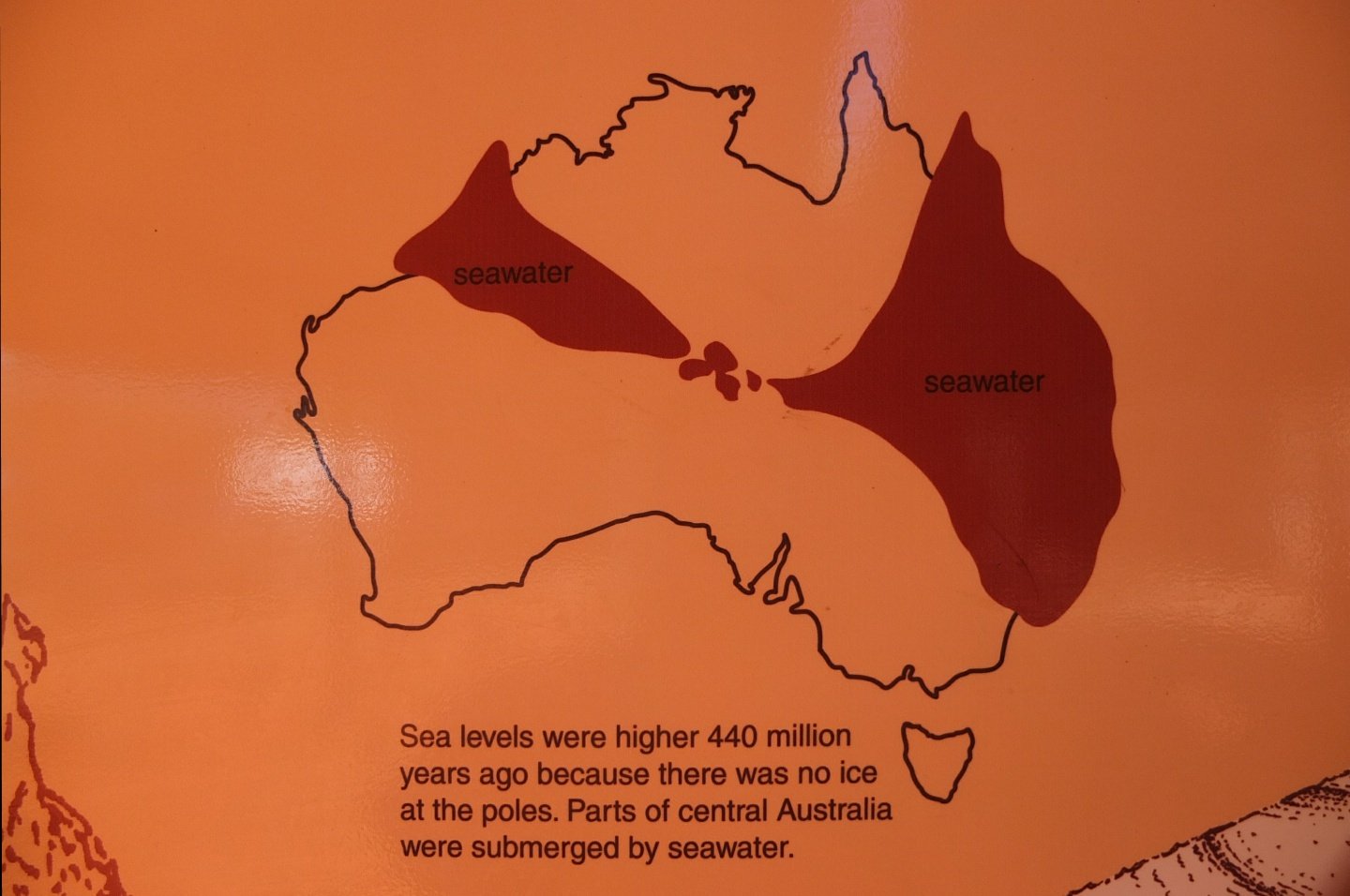
440 million years ago!
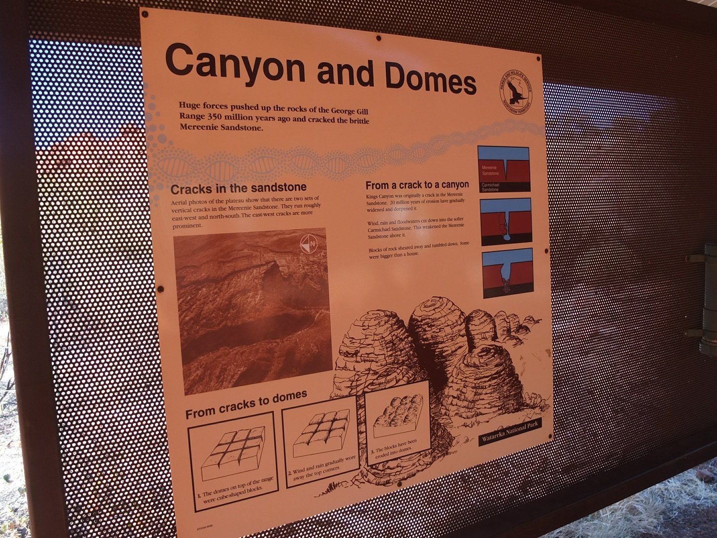
Huge forces pushed up the rocks of the George Gill Range 350 millions year ago and cracked the brittle Mereenie Sandstone.
From cracks to domes:
- The domes on top of the range were cube-shaped blocks.
- Wind and rain gradually wore away the top corners.
- The blocks have been eroded into blocks.
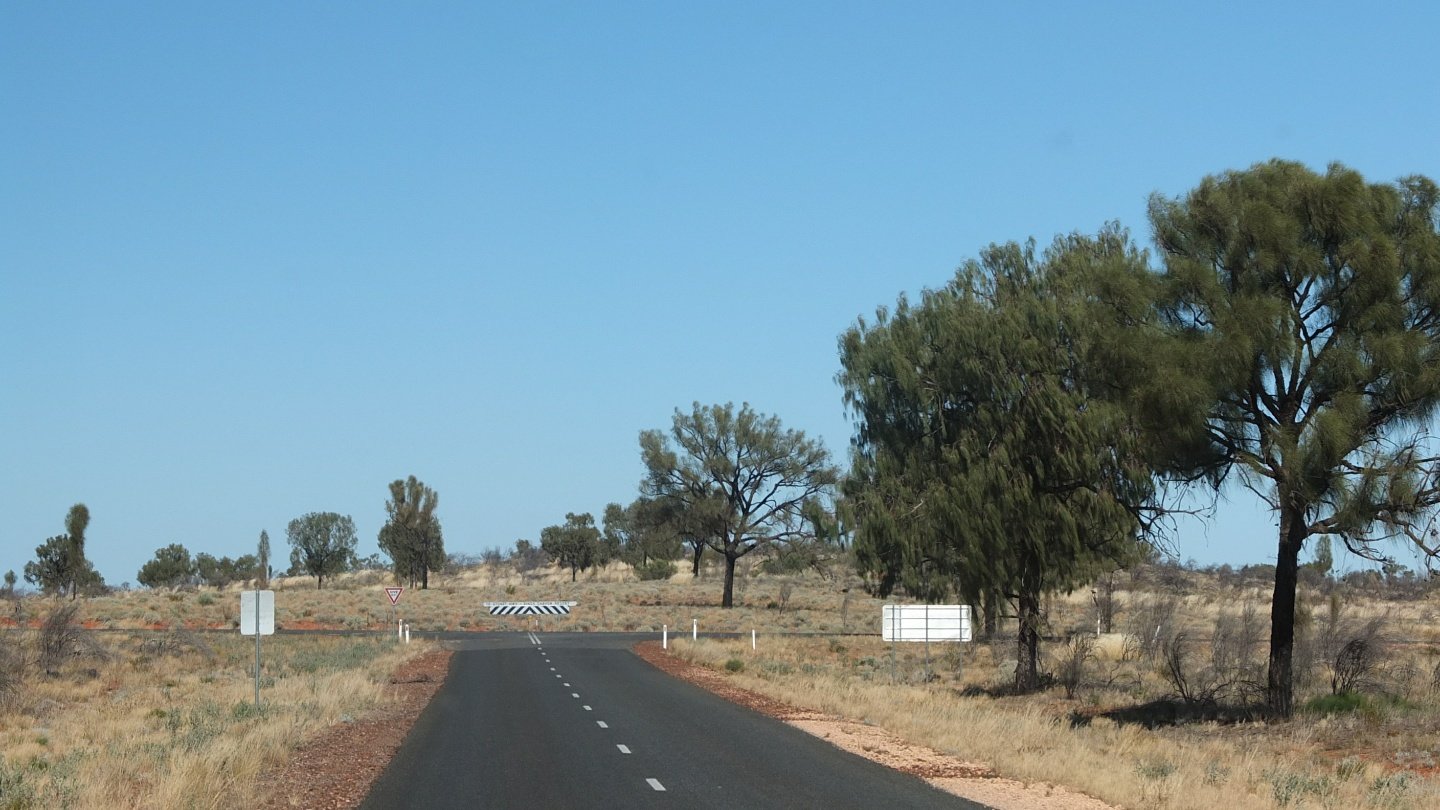
We are reaching the main road going to the Stuart Away. Uluru is on the right, Stuart Away on the left. If we had a 4WD bus we could finish the loop and reach directly the Stuart Highway but this is not the case.
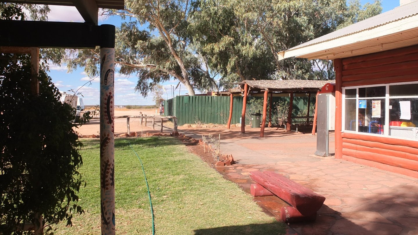
Nearly back on the Stuart Highway. This is a break time where we stopped two days ago.
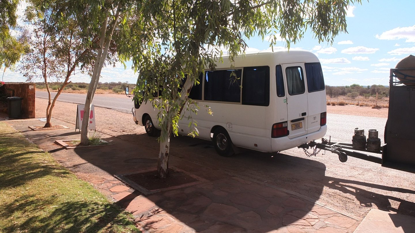
Still the same bus :-)
Back on the road.
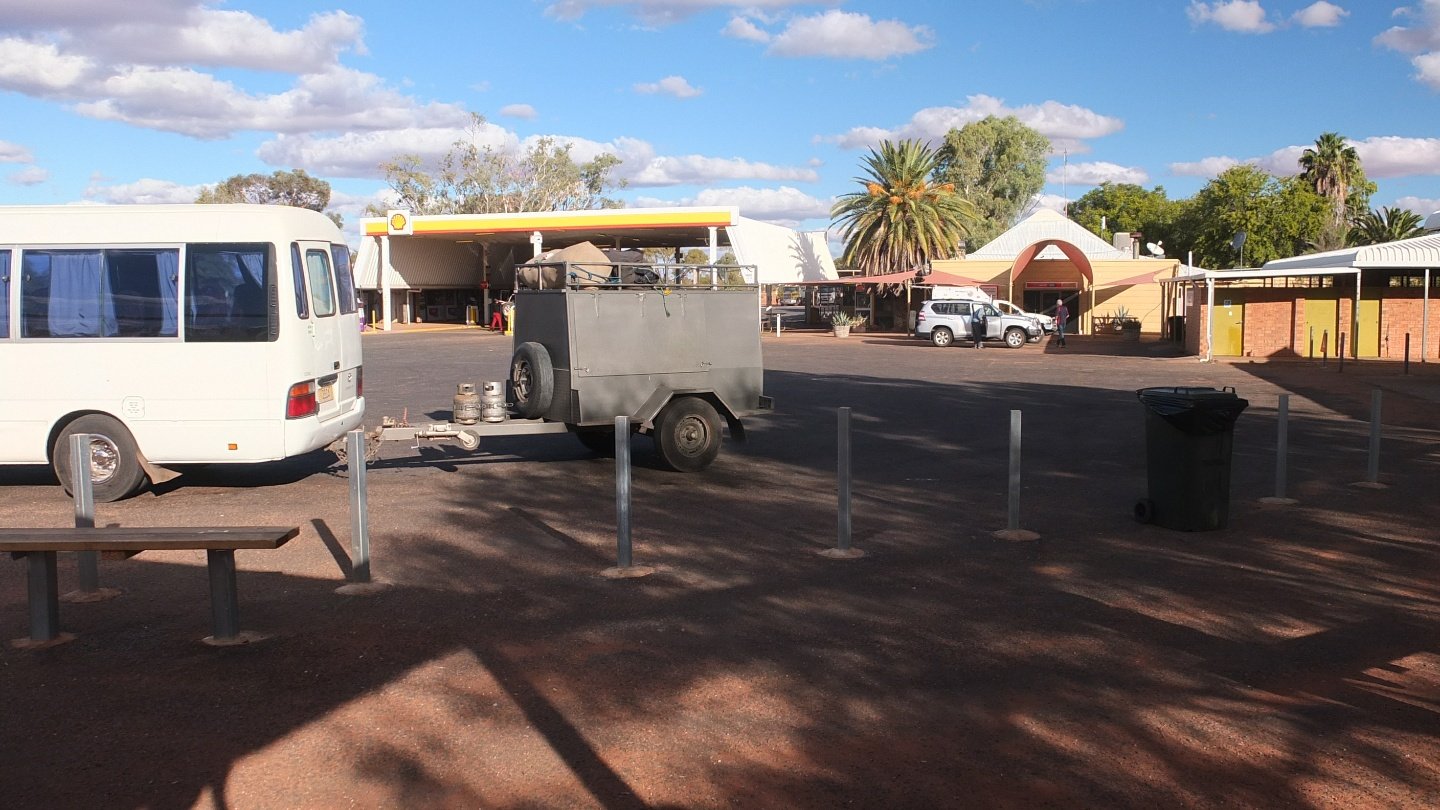
Eldunda Roadhouse is where the road from Uluru joins the Stuart Highway.
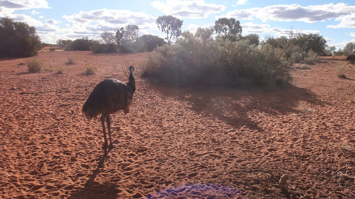
How guide said he was looking for emus today. He said that if we did not see any he would pay us a drink. We did not know there was a zoo here…
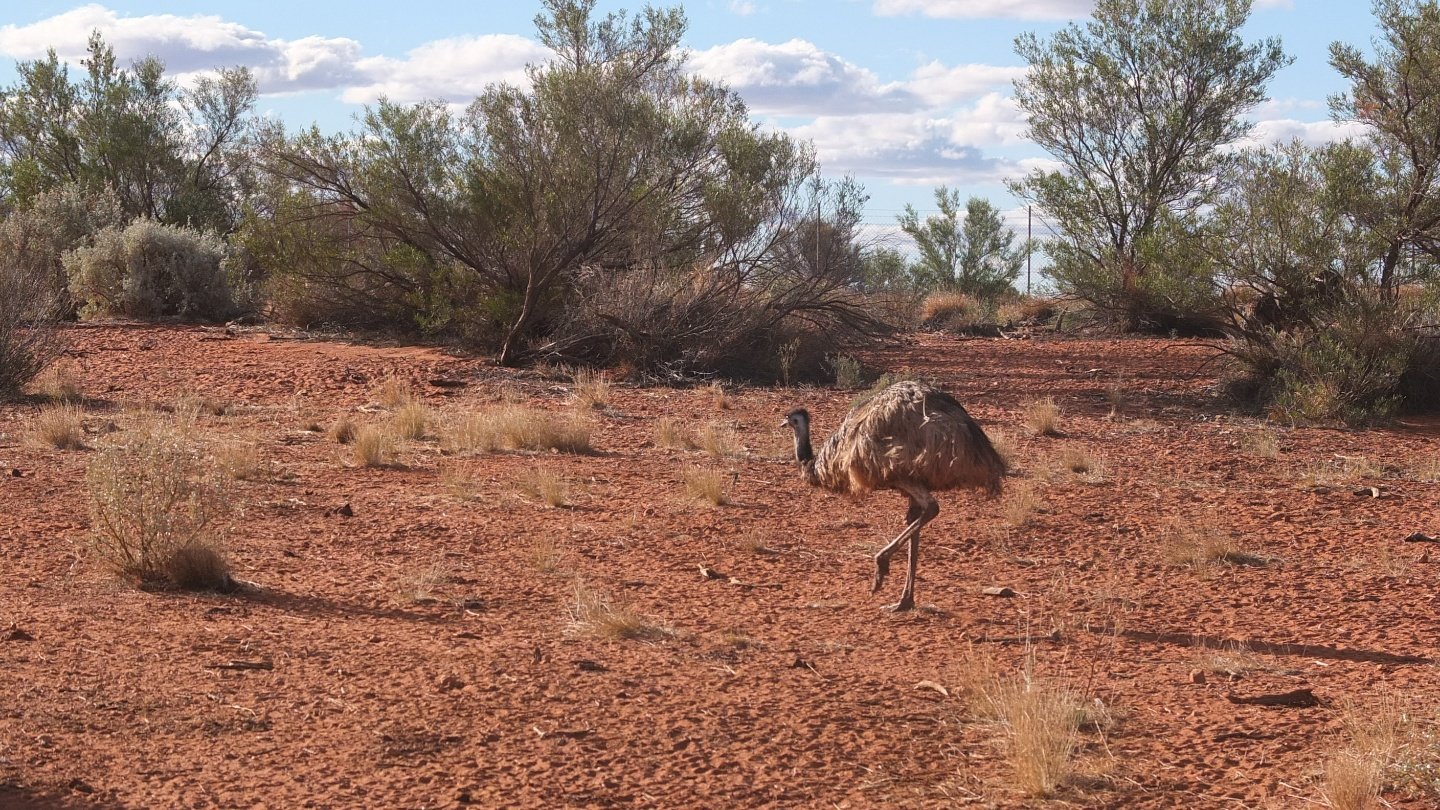
That’s cheating! but not for Australians apparently :-)
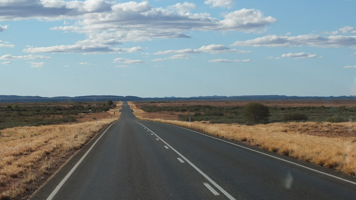
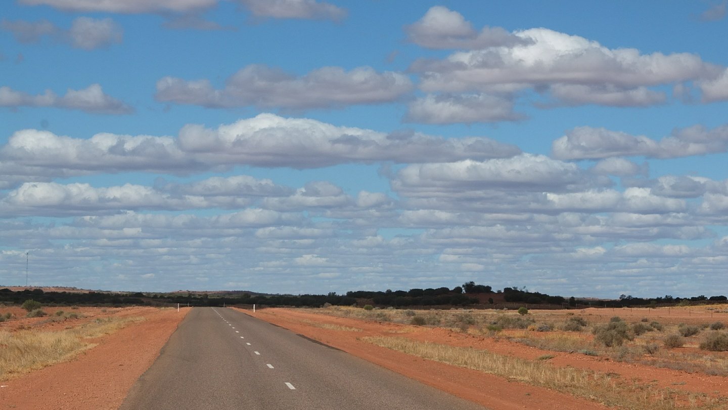
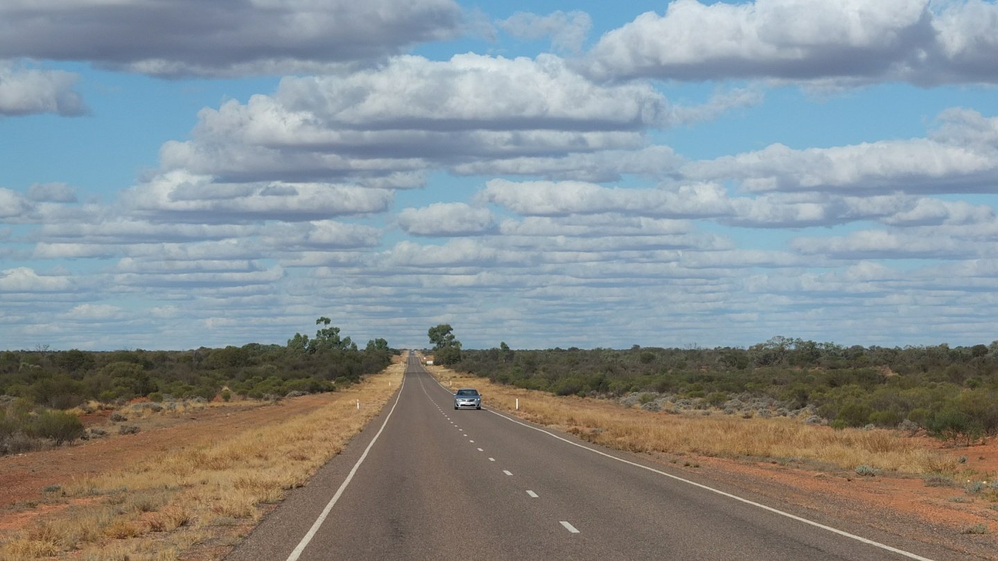
This is Stuart Highway this time.
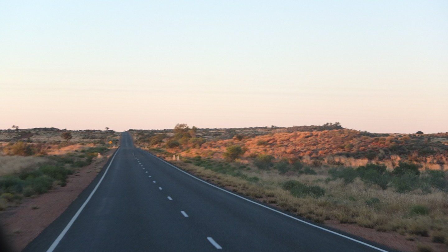
The sun is low now and we will be back soon in Alice. Those three days were really good! My hub problem gave me the opportunity to do that tour which was interesting. If I would cycling here, I would certainly have to rush everywhere and would not learn as much as I did. Thanks Bez for the trip!
Beautiful photos! I like the cliff photos! It feels like I’ve already been there, saves my trip.
Thank you, Damien. :-)
I couldn’t leave a comment when I first visited this page. Now I came back with comment click, then I am here.
Very nice place and beautiful photos. Thanks Damien!
Le palmier dans l’oasis ! Es tu sûr d’être en Australie, et non pas en Tunisie ?? Lol. Quant à l’eucalyptus ça me parait logique. N’est ce pas la nourriture des koalas ? Enfin des vrais koalas ! Sinon, site exceptionnel à n’en pas douter.