Today we cycled only until midday but still did 47km :-) We done the first 20km until we reached a temple called Wat Phra Borommathat. After the visit we had breakfast and then continued travelling north. Then we kept on going until we arrived in Sam Ngao, a village very close to the Bhumibol artificial lake. In fact, in the 50’s the government started the construction of the Bhumibol Dam, named after the King. They needed 6 years to build it and another 6 years to fill it! Once we got to temple of the village, after a hot rest, we cycled and visit that famous dam. The way to reach it is far to be flat. That’s the most hilly place I’ve been to in Thailand until now.
Map.

Back to this morning. We have done already 20km and reached Wat Phra Borommathat. This temple as the same name as the one we visited two days ago except this is not a school. Let’s have a look inside.
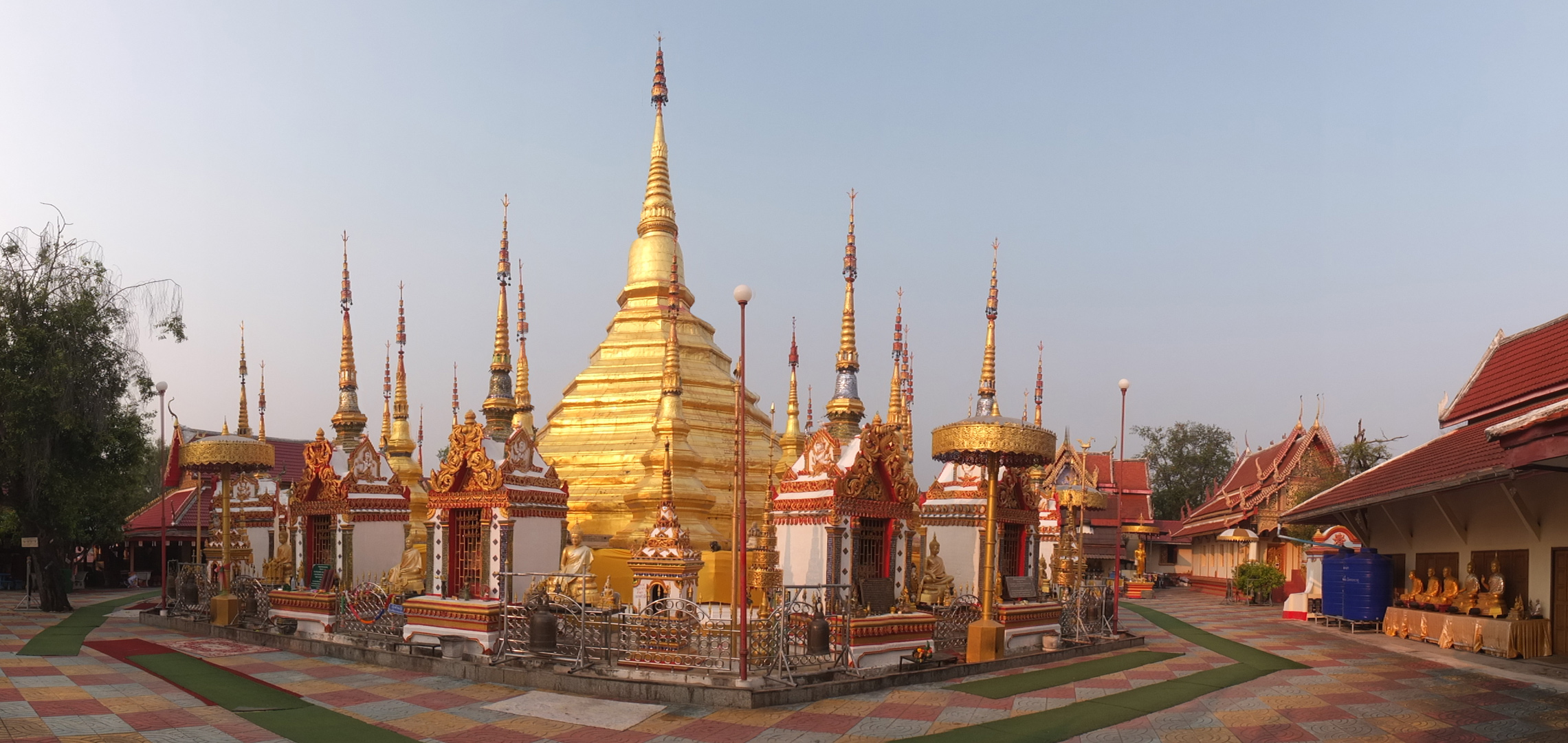
The wide view.
Lots of gold here.
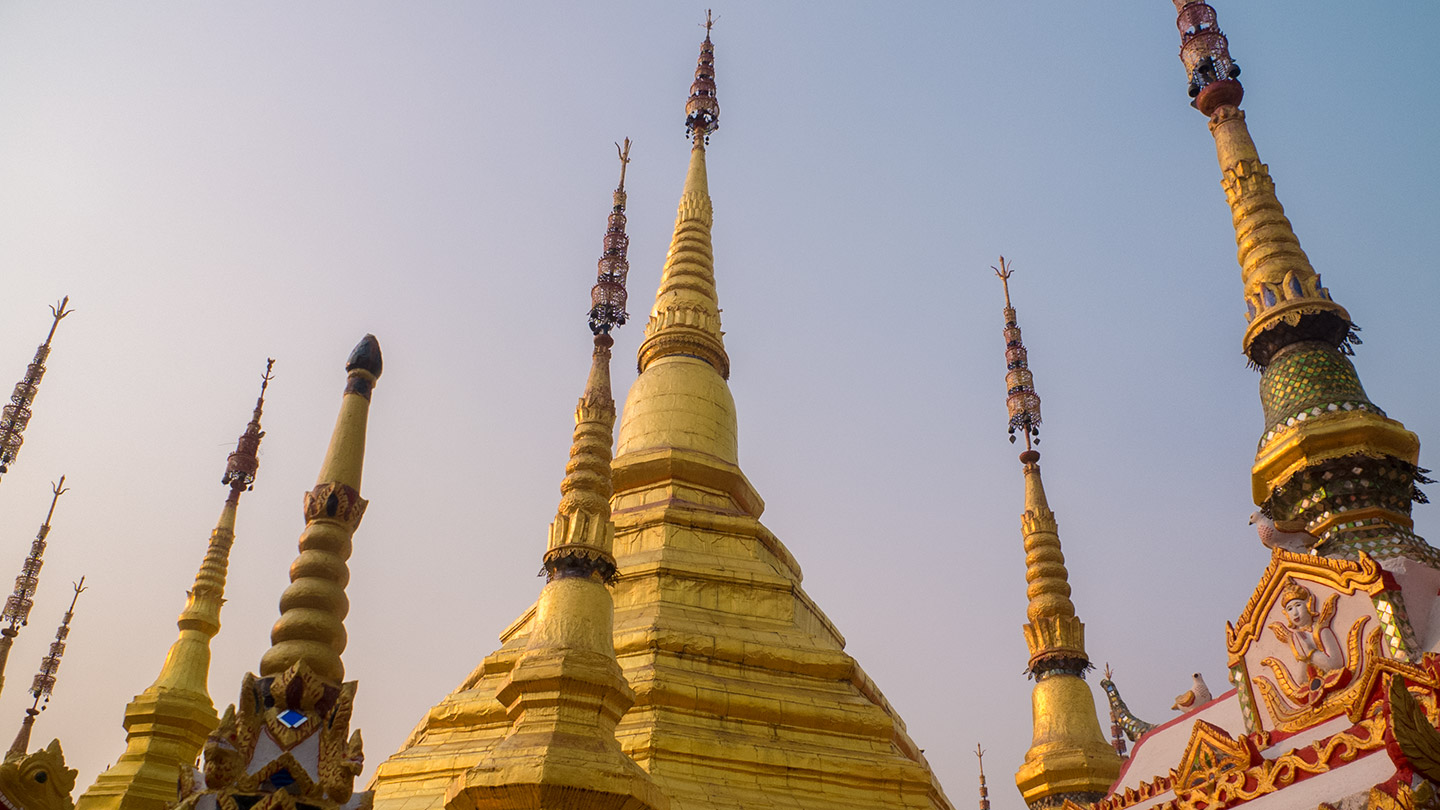
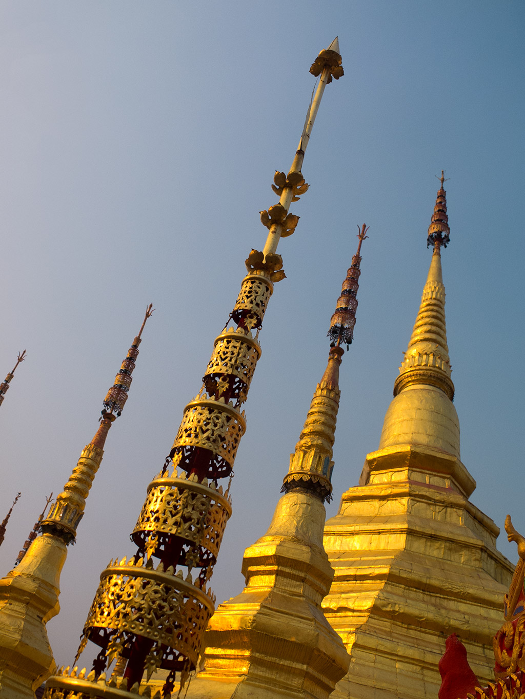
This is a spiky temple.
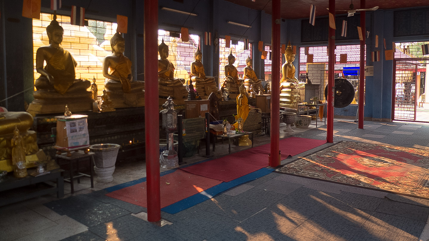
A room which contains main sculptures of Buddha.
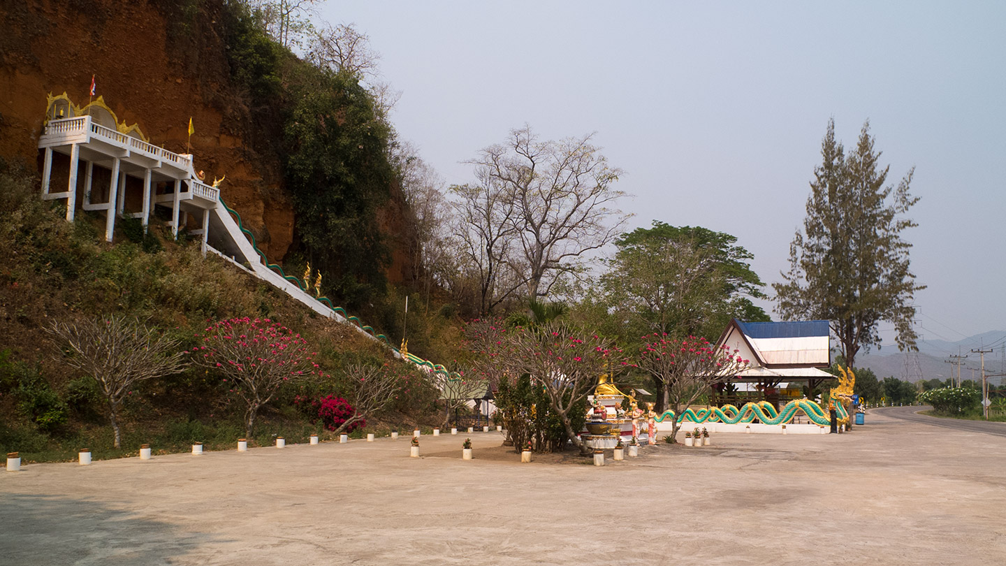
We keep on going. Well, actually we have a break now. We are not too far from the village: less than 5 kilometres to go. During Pita has a rest I will have a look up there.
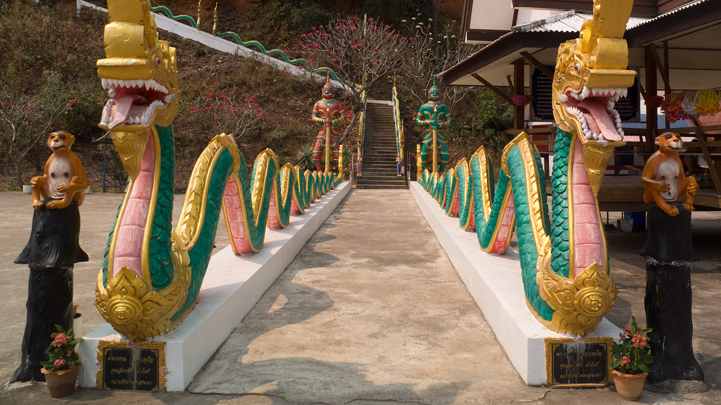
Two dragons, two monkeys, two guards. Am I allowed to enter?
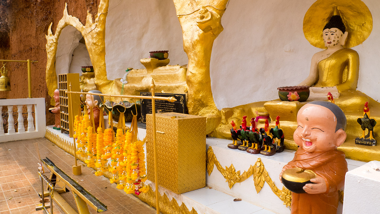
Without surprise, there is Buddha and other offerings here. Actually there is a temple on the other side of the road. That explain better the reason of this place here.
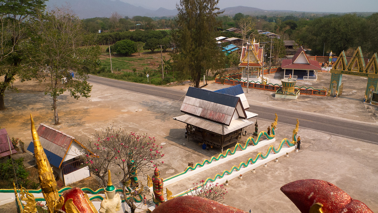
The view from up there.
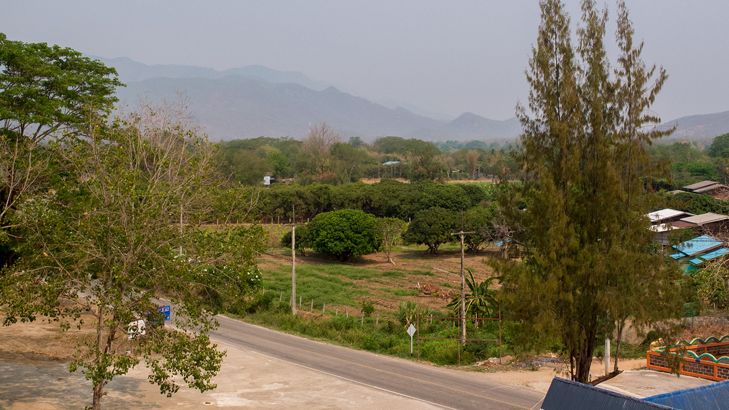
Thailand has been very flat since I arrived in Satun but I can see from here that this is going to end, soon!
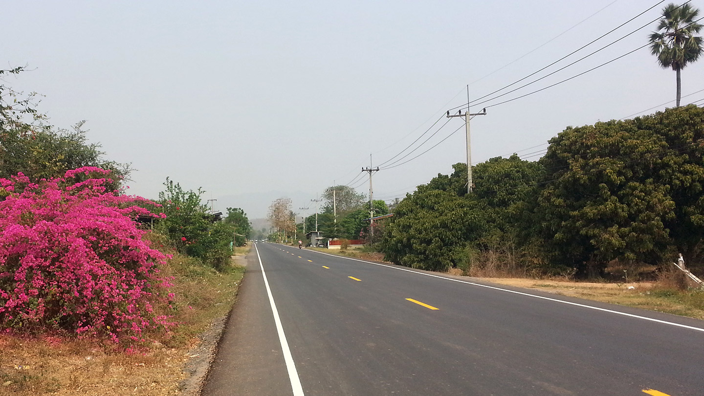
The last straight line!
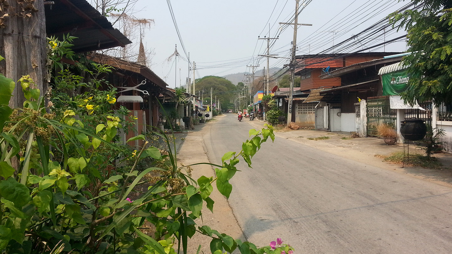
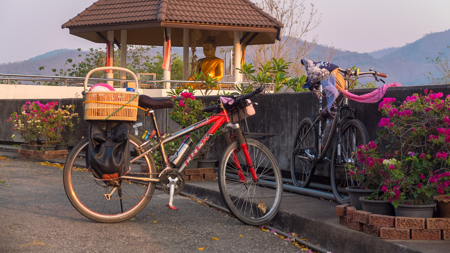
Here we are, Sam Ngao.
We got to the temple, had our daily rest and then get ready for the climb. I wasn’t sure about it but yes, there is a good climb coming.
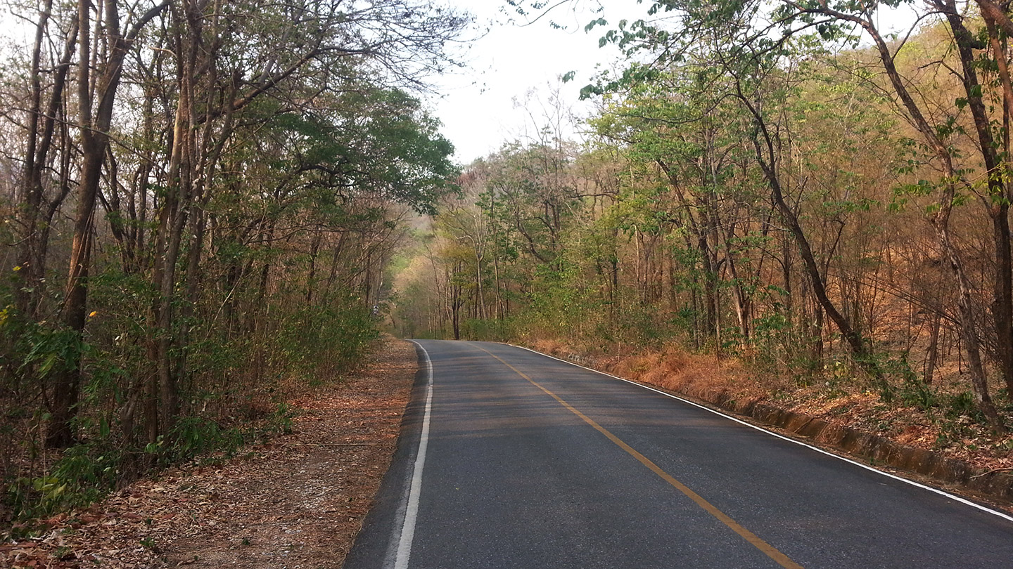
This picture doesn’t show very well how steep is the road because I did not take it at the right spot. But that road is steep, no doubt about that.
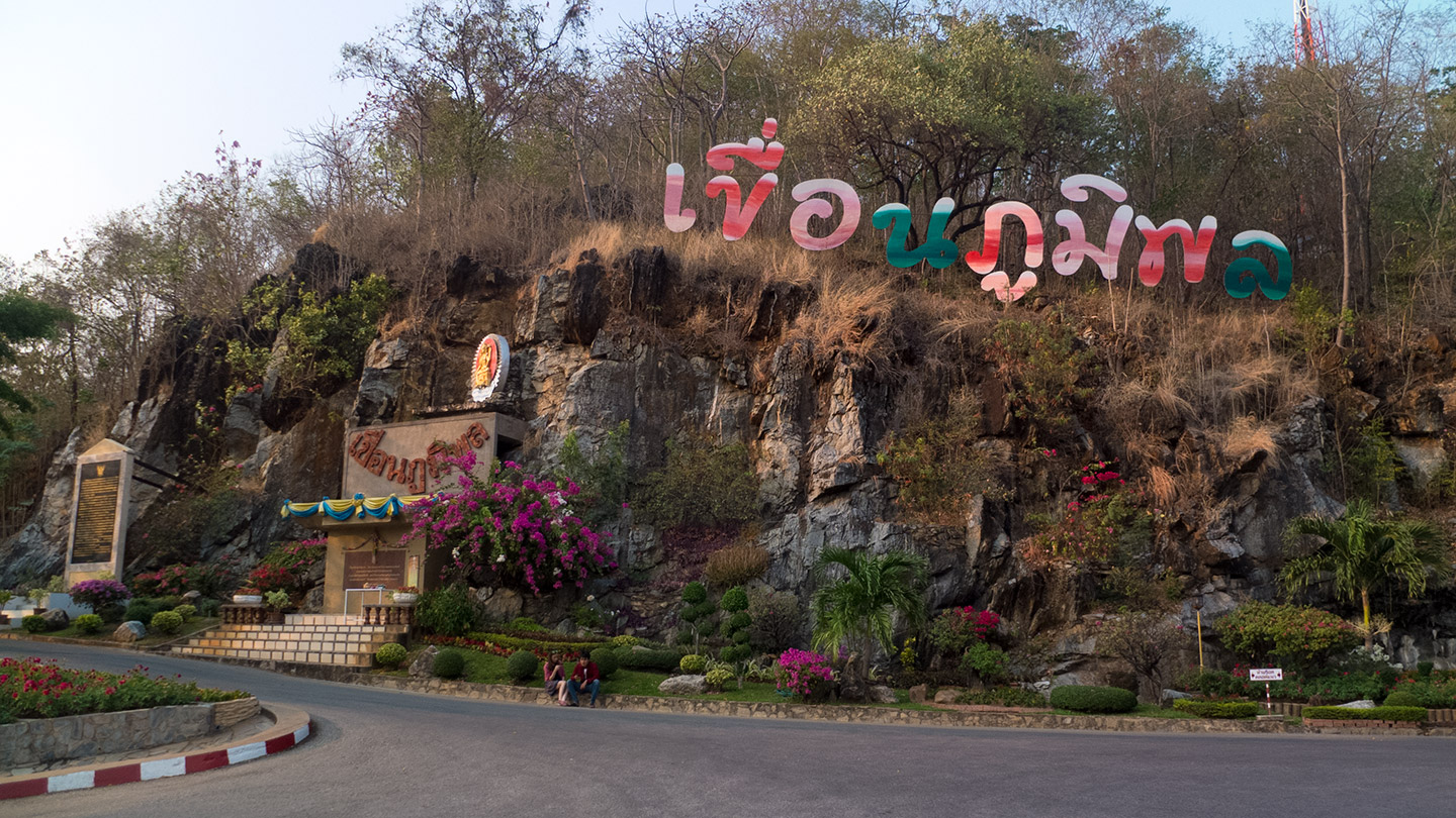
Few! we finally arrived.
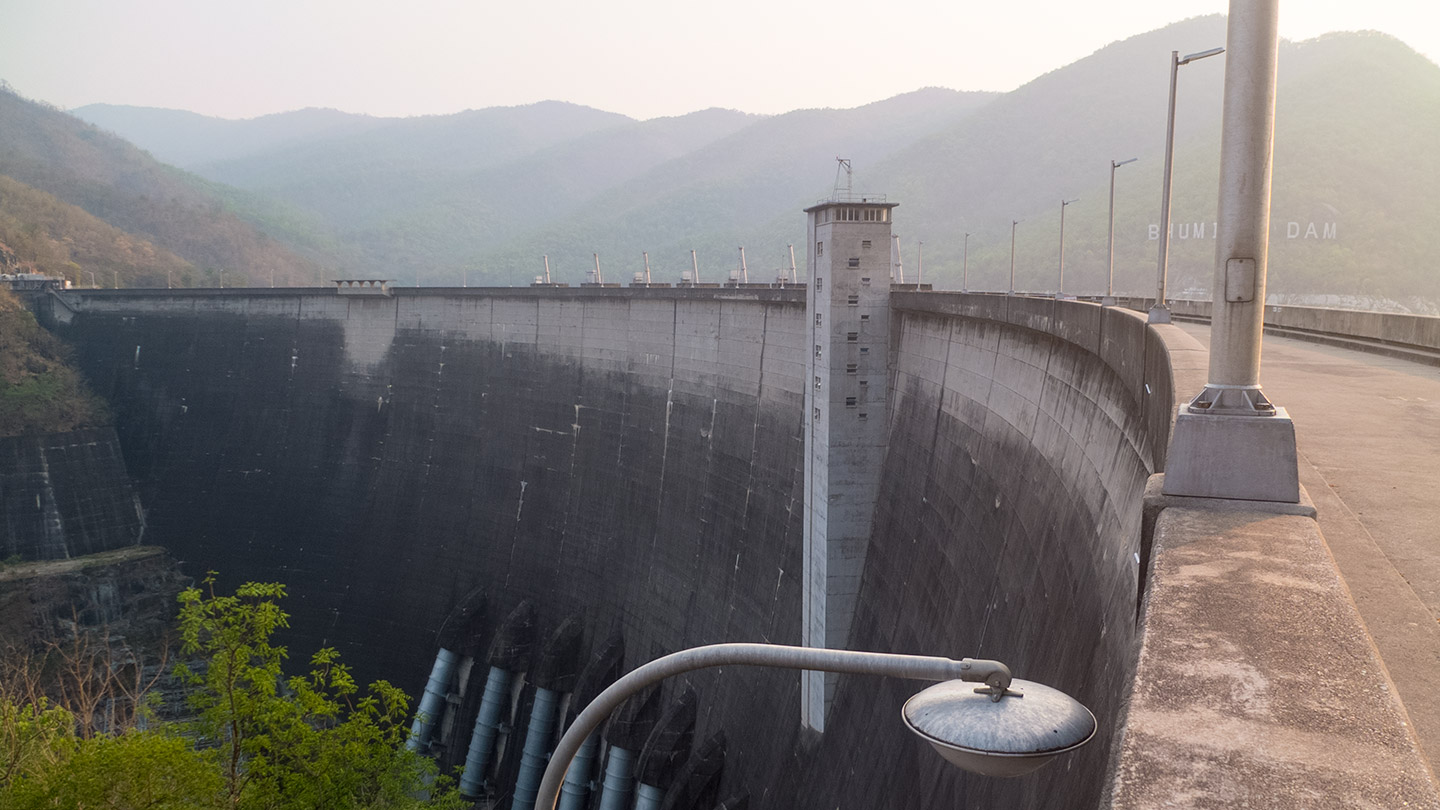
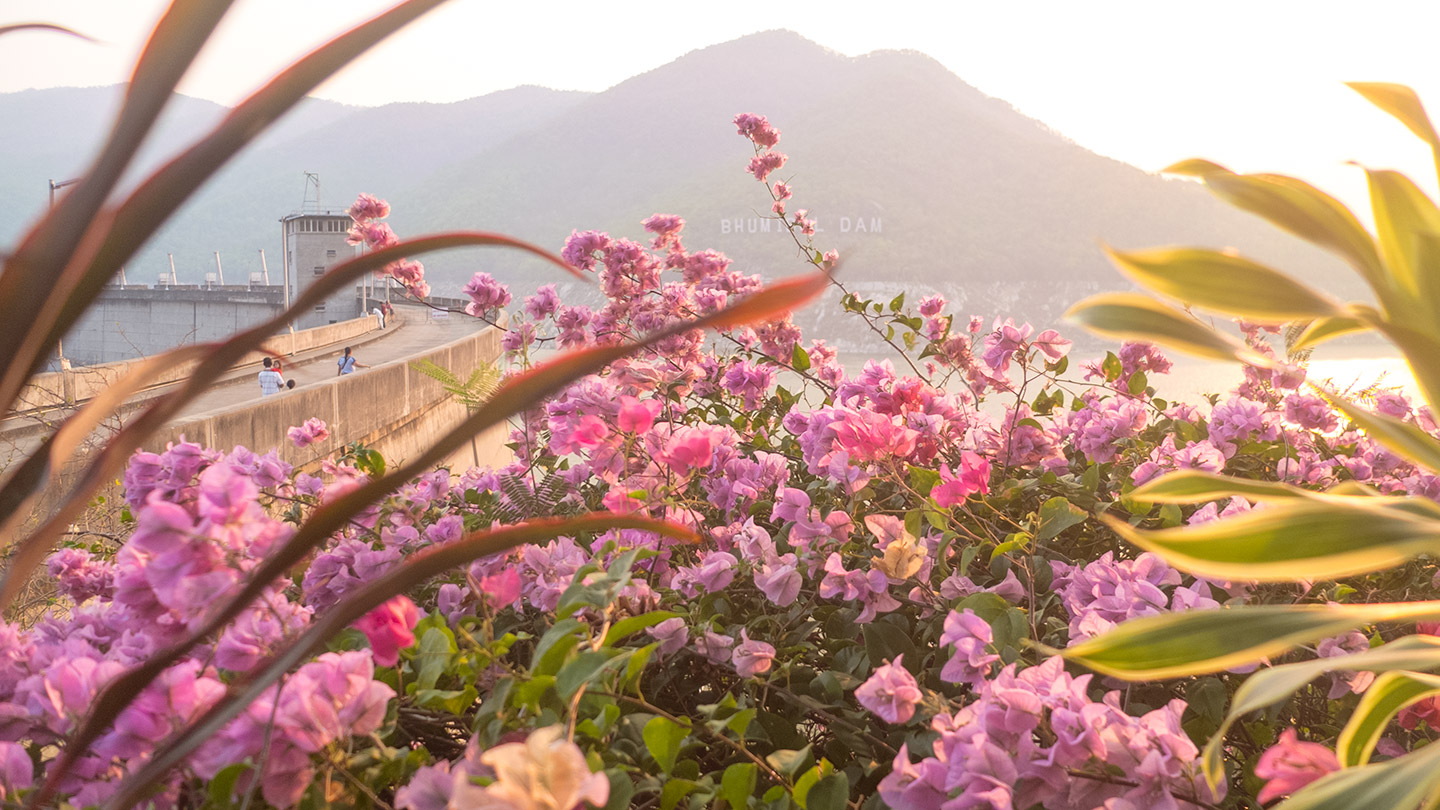
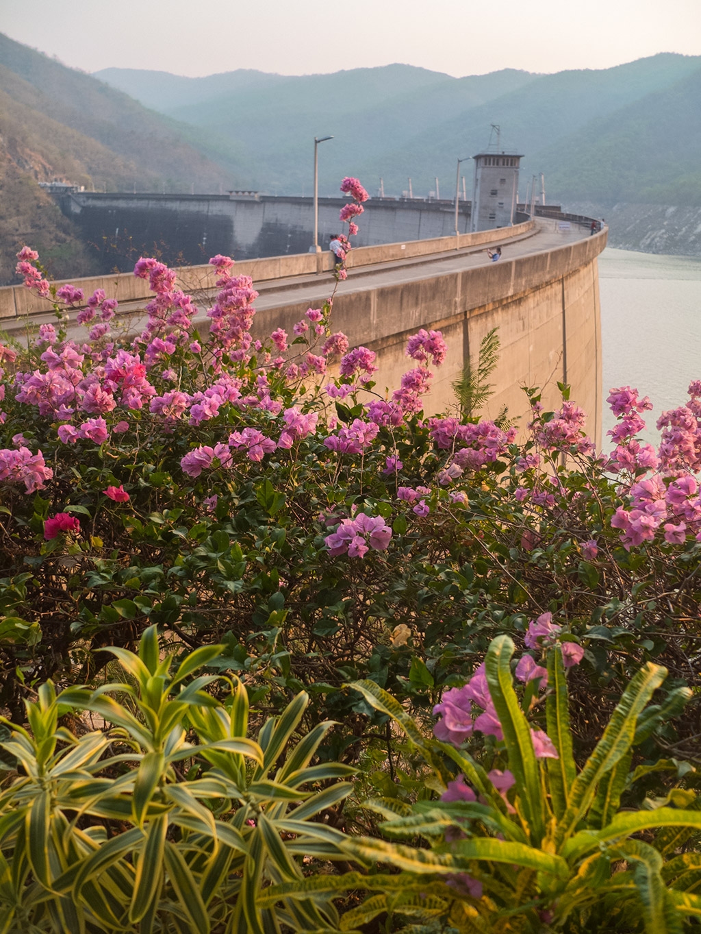
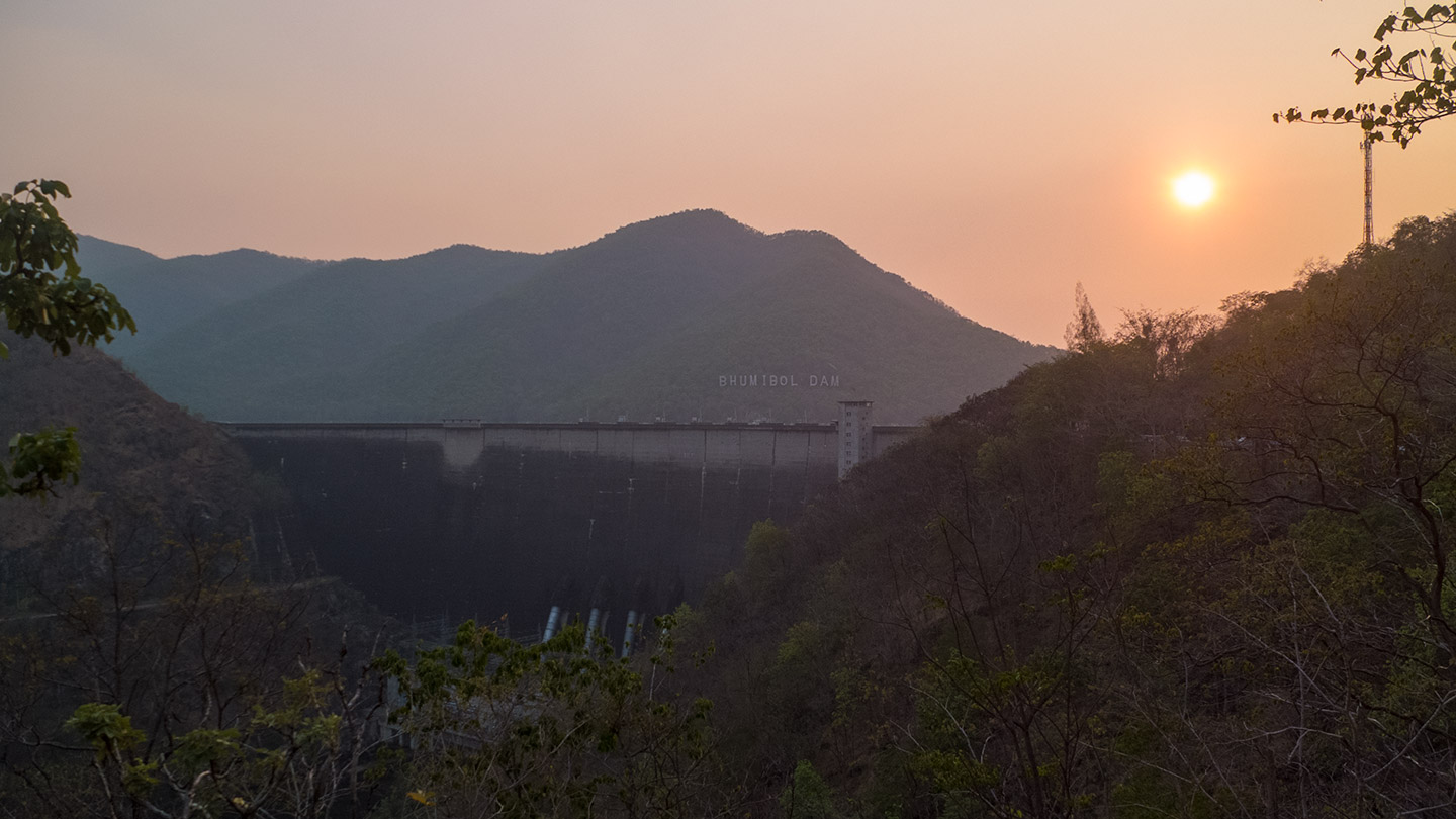
That’s the dam :-)
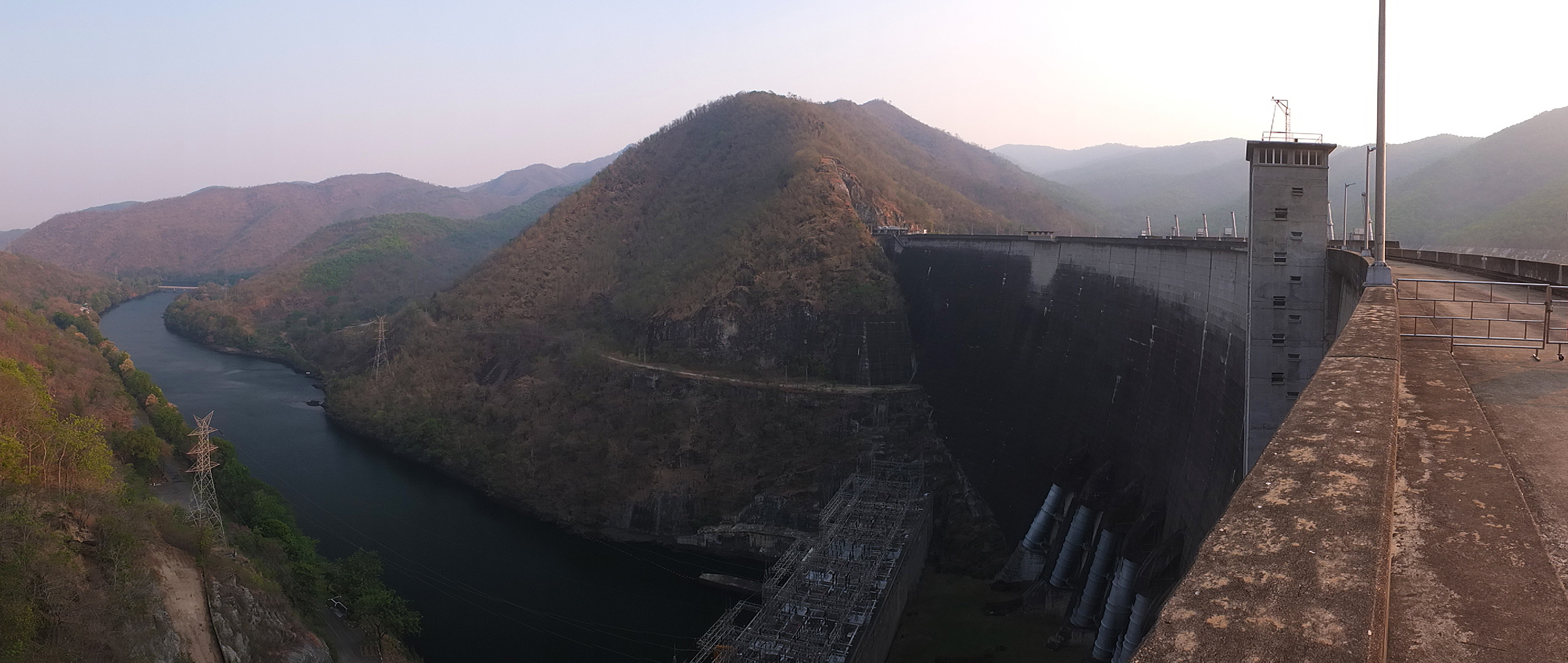
Wider view.
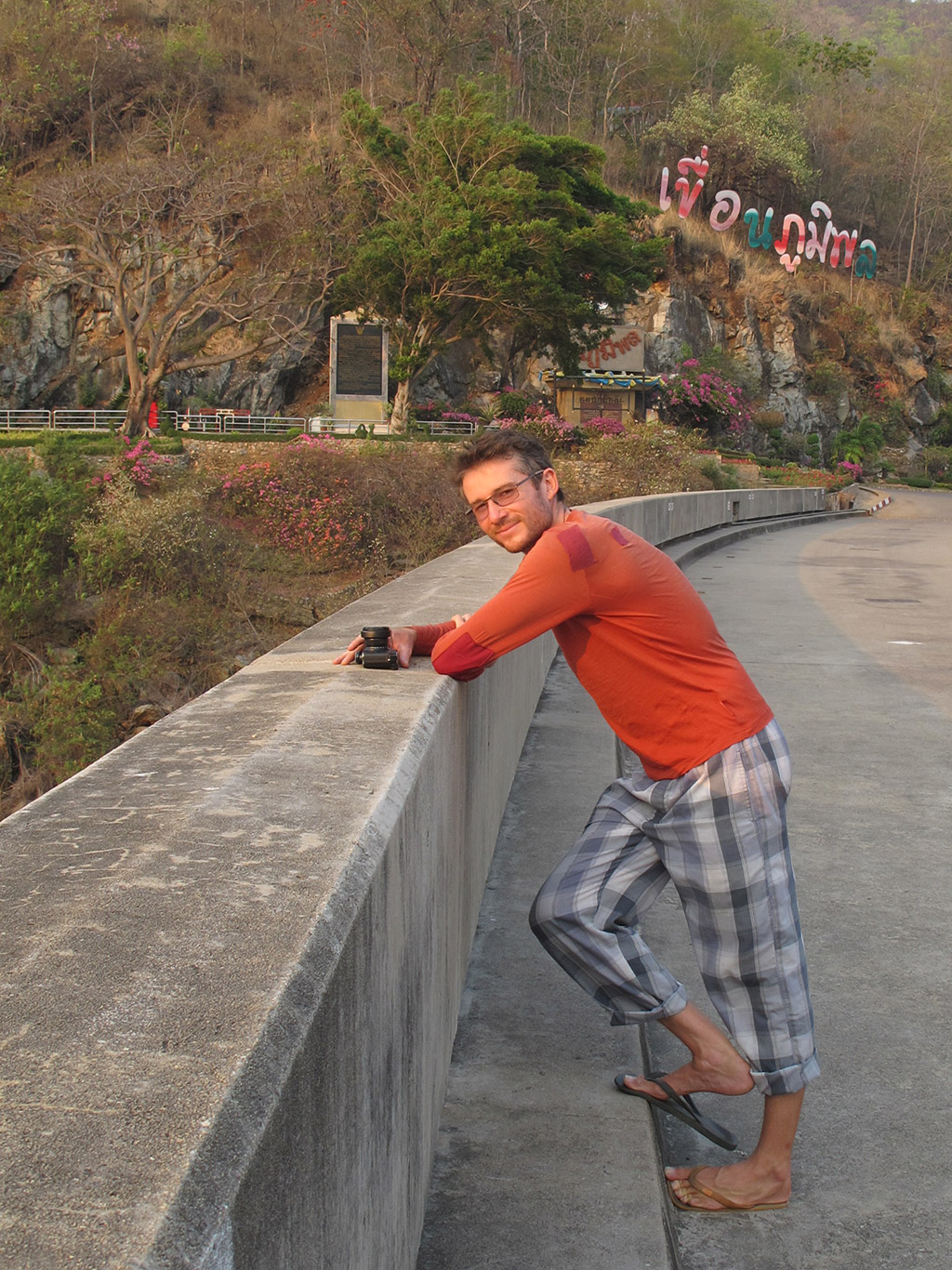
Hey.
Pita :-)
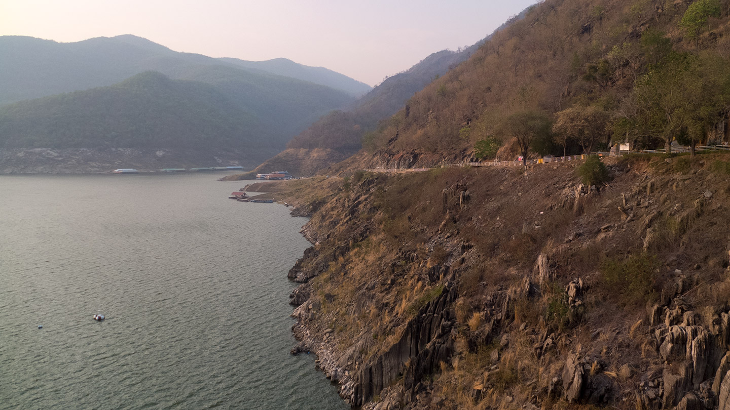
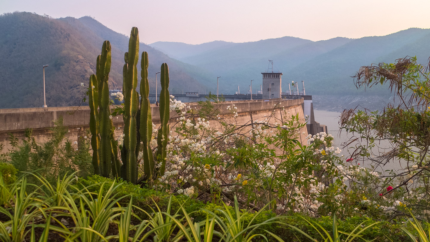
I knew and saw previously how dry this season is. The view onto this reservoir shows it very clearly. This must be millions of litres missing. The country must pray for the rain to come soon. Pita told me that the rainy season will start in May. That’s another 2 months to wait.
The water level is about 10 metres lower than the limit. If it took 6 years to fill it from zero, it might need a good 6 months (maybe more!) to reach the full level again. This could be critical over the years if dry seasons hit hard each time. That’s climate change right?
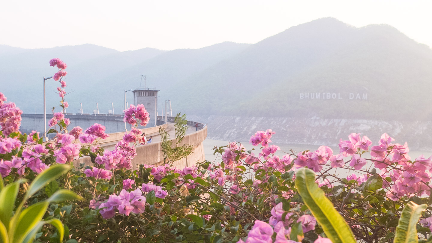
Yes, that’s the Bhumibol dam.
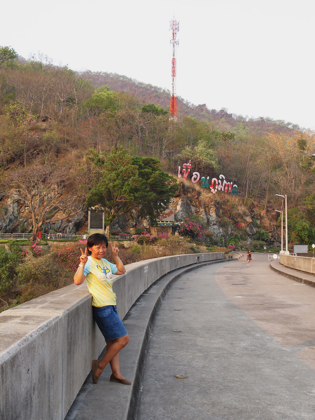
Portrait.
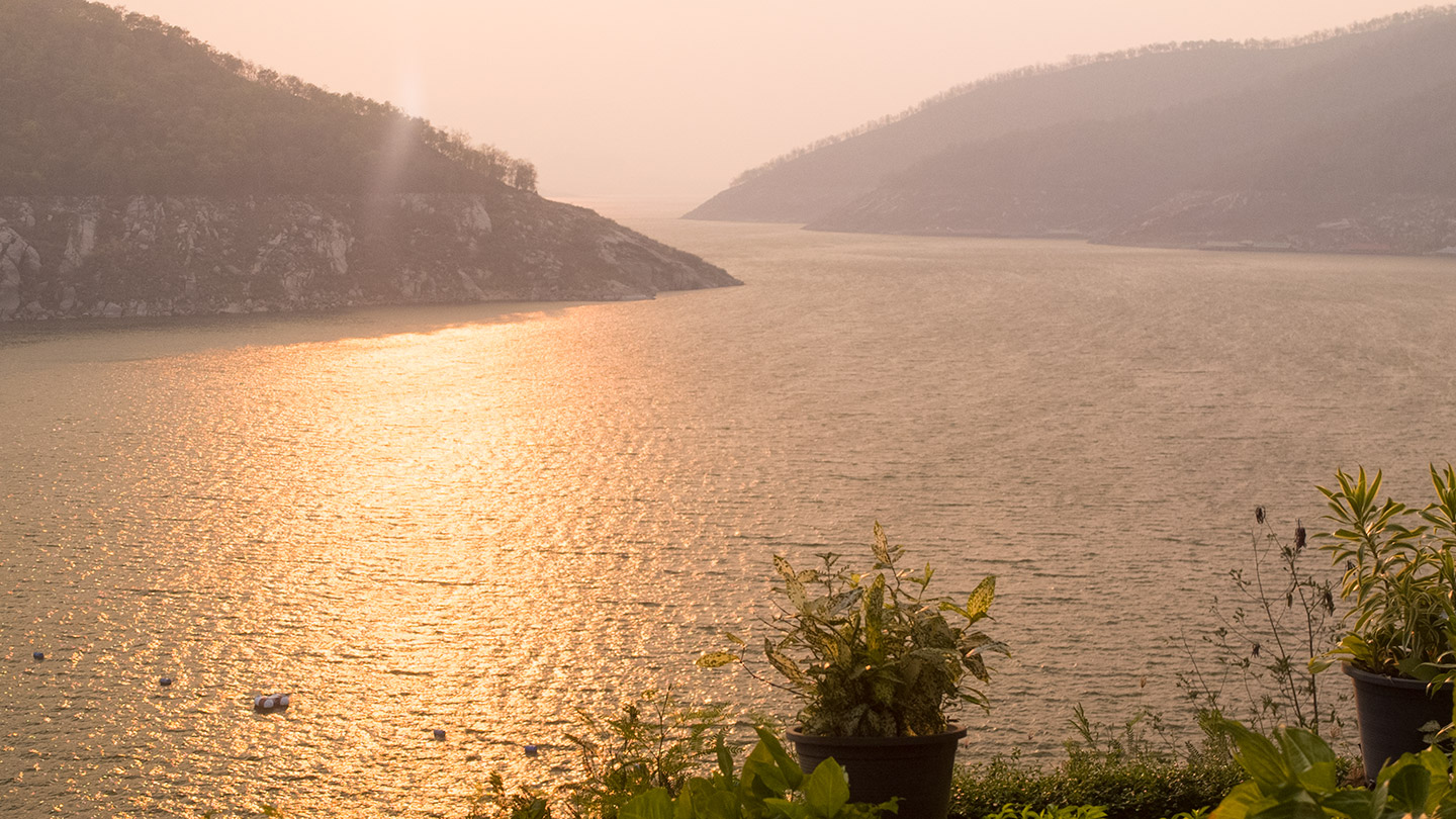
Backlight view.
Last picture before we come back down to the temple.
Fortunately we didn’t have to carry all our stuff to get here. I think we would still be cycling uphill now :-)
Bye dam ;-)
C’est quoi ce tee shirt rapiécé Damien ! En tout cas belles photos de fleurs sur barrage !
Entièrement d’accord la photo avec les fleurs est magnifique! Très belle lumière. En tout cas ça a l’air de bien monter dans le coin ;-)
Nice scenery.
We want rain here too…. Our rainy season is 9 months away.