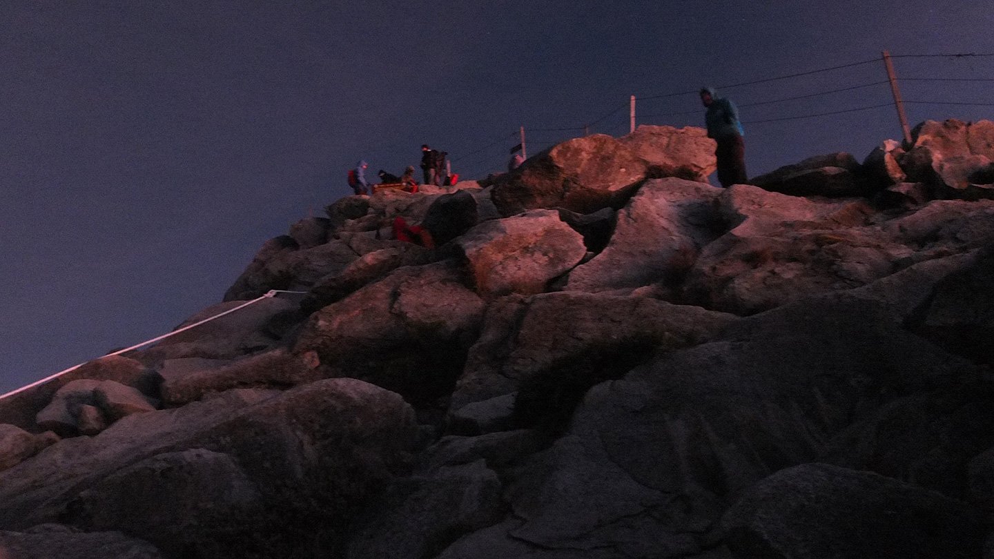
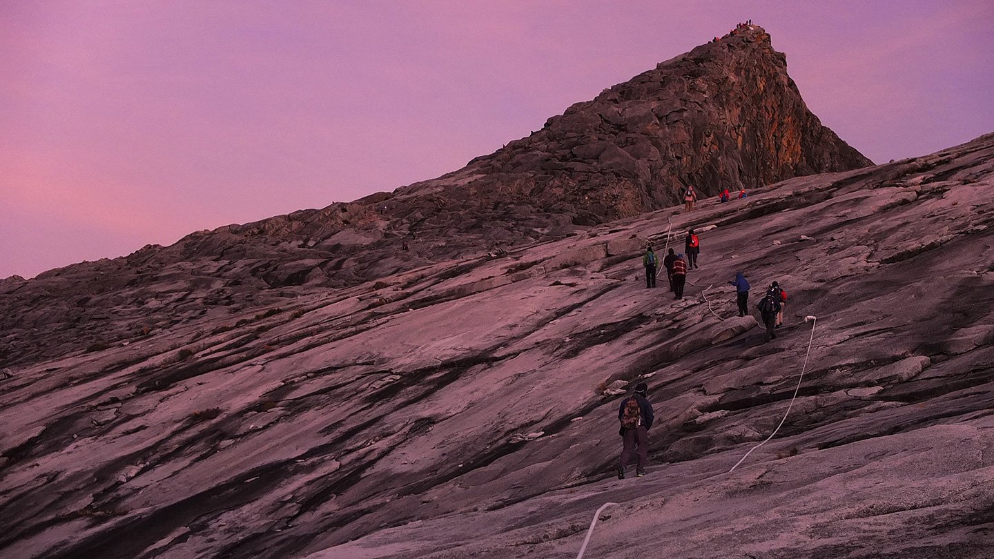
This is the highest summit I’ve never been onto :-) We are the first two guys to get there with a Spanish guy. We did it without any torch which was even better (actually, my battery run out after 30 minutes this morning). Without any light we could enjoy the stars and feel all the atmosphere. The moon’s brightness was enough to see where we were going. We left this morning around 3am and arrived 2 hours and 15 minutes later. We now can see all the other guys walking slowly down there. The temperature up there is, I guess, between 0 and 5 degrees and it’s slightly windy. I won’t be able to stay too long up there because I will get cold if I don’t move.
Map.
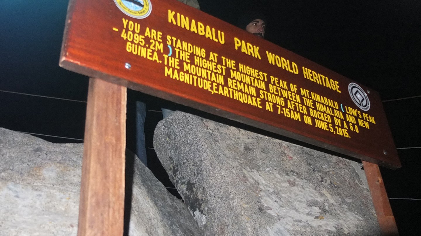
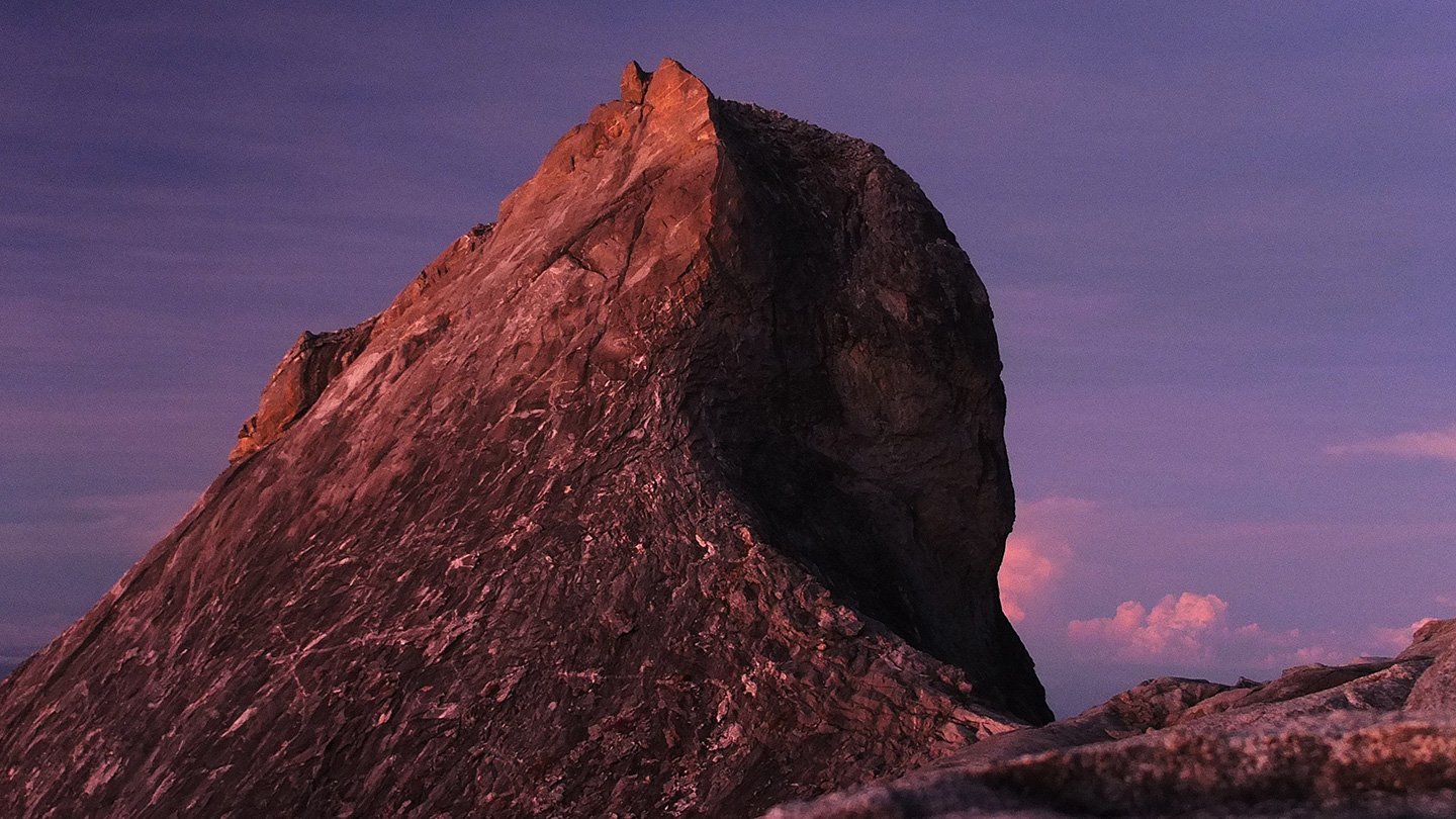
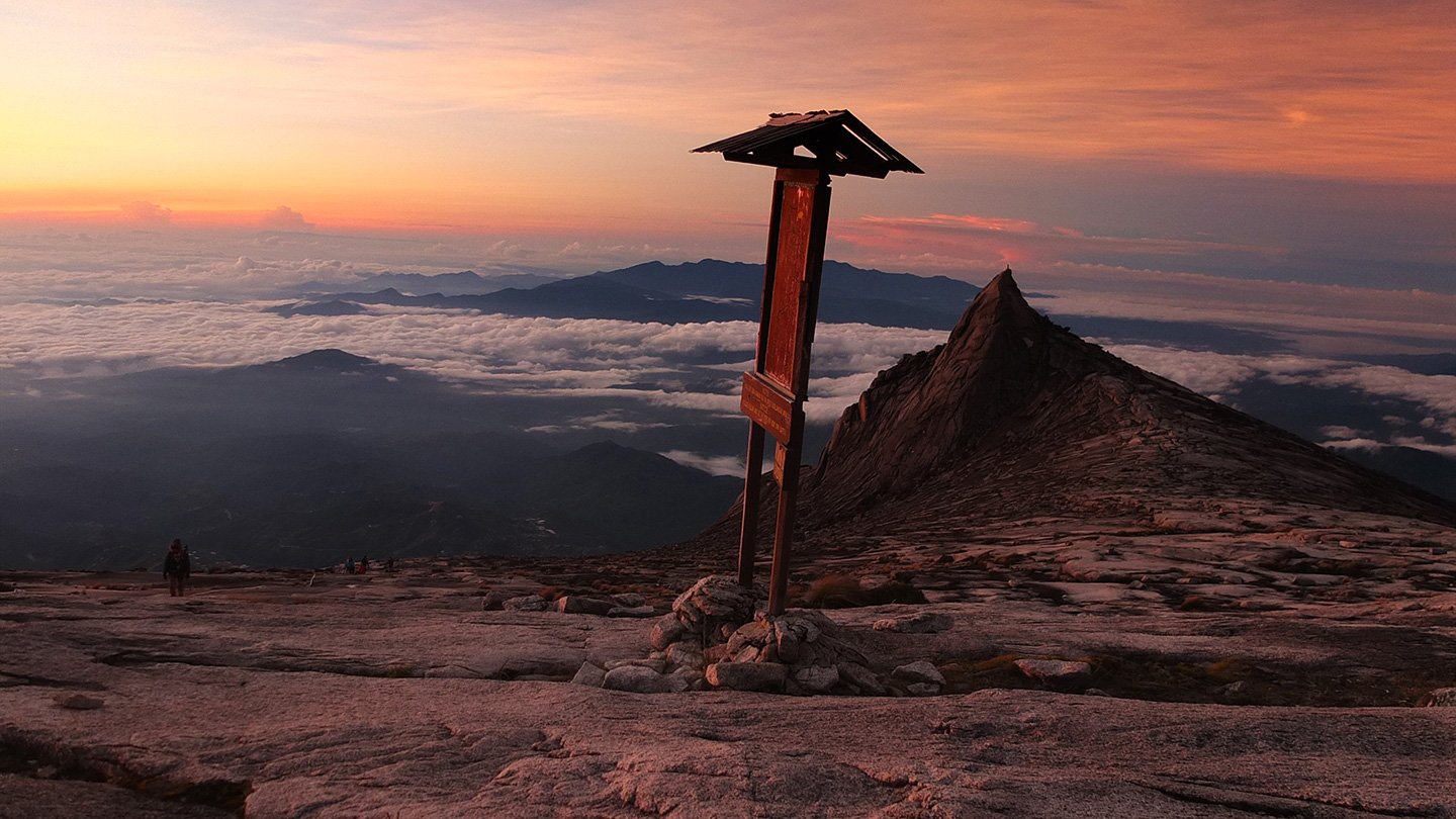
You are standing at the highest Peak of Mt. Kinabalu (Low’s Peak – 4095.2m). The highest mountain between the Himalaya and New Guinea. The mountain remained strong after being rocked by a 6.0 magnitude earthquake at 7:15am on June 2015.
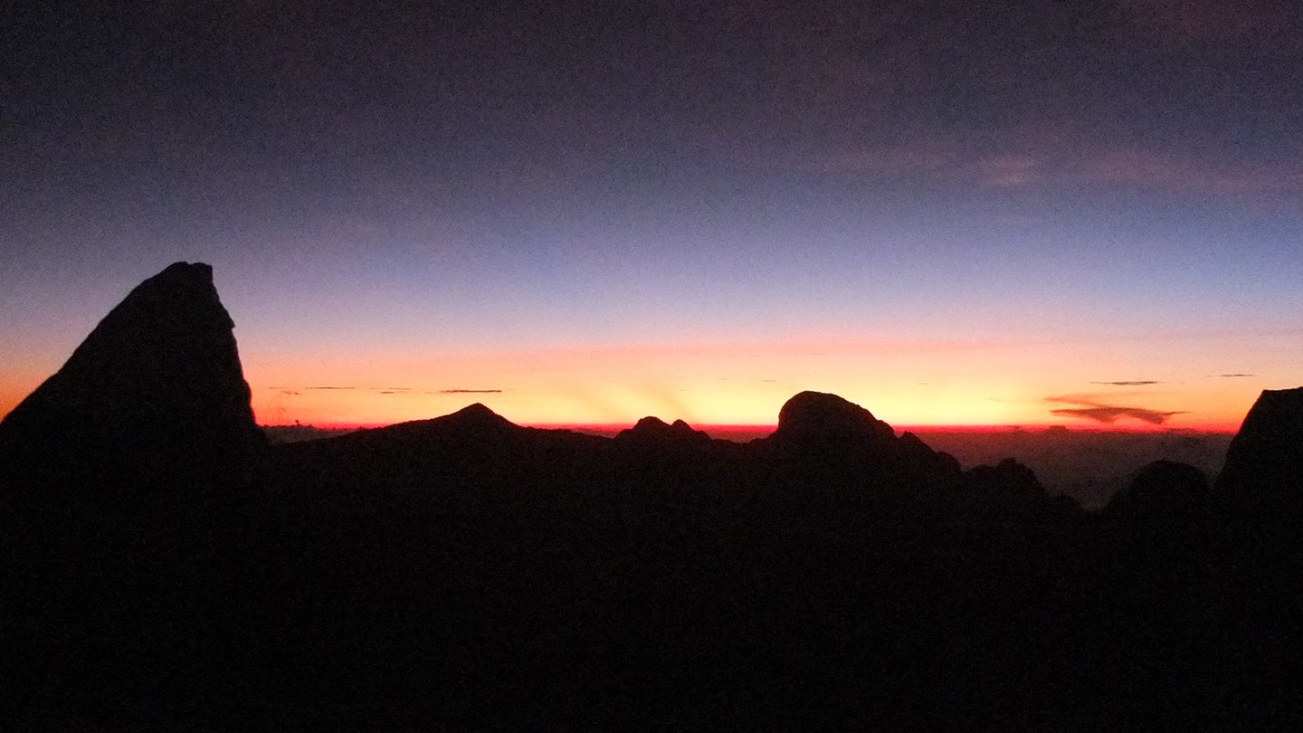
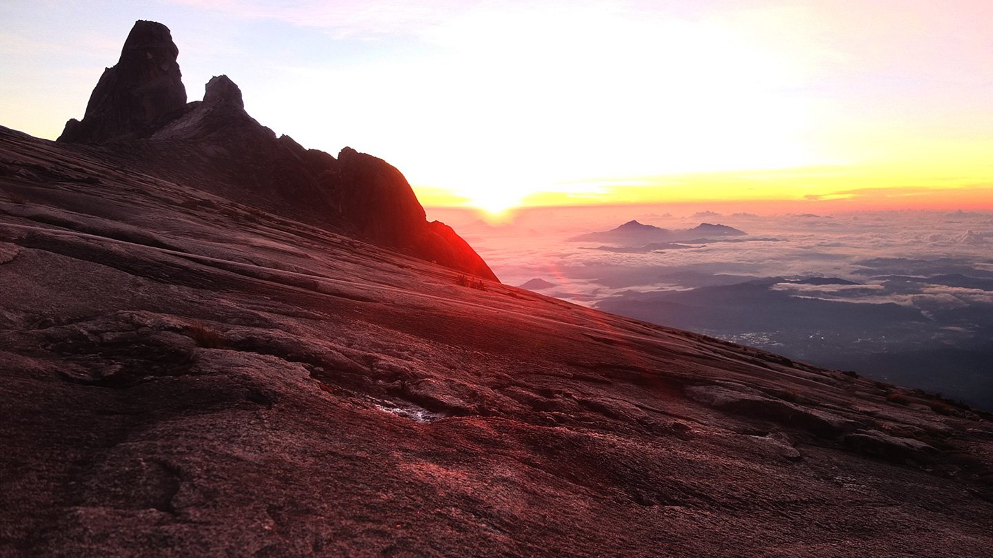
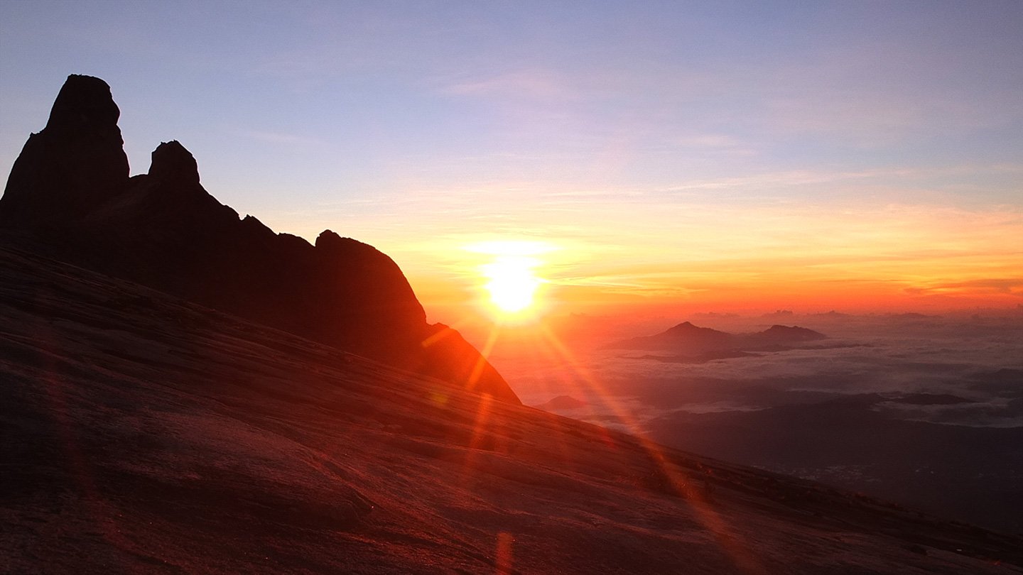
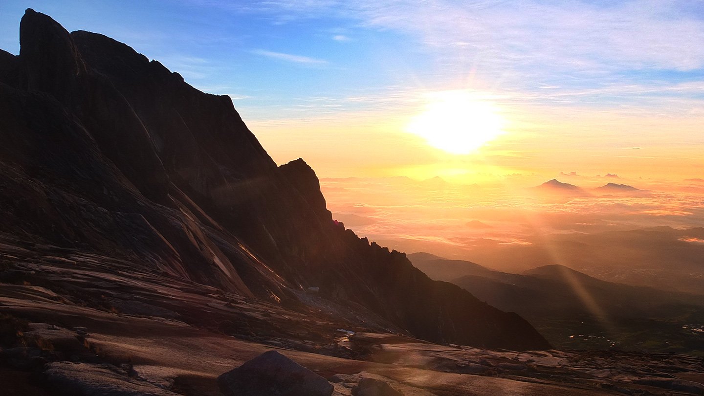
Finally, about 30 minutes later (or something like this) the sun is getting close to horizon.
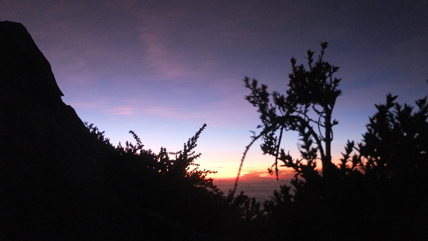
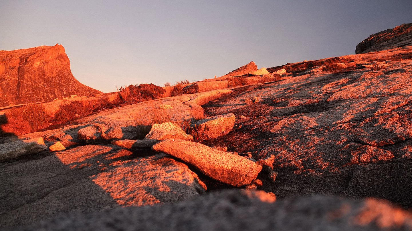
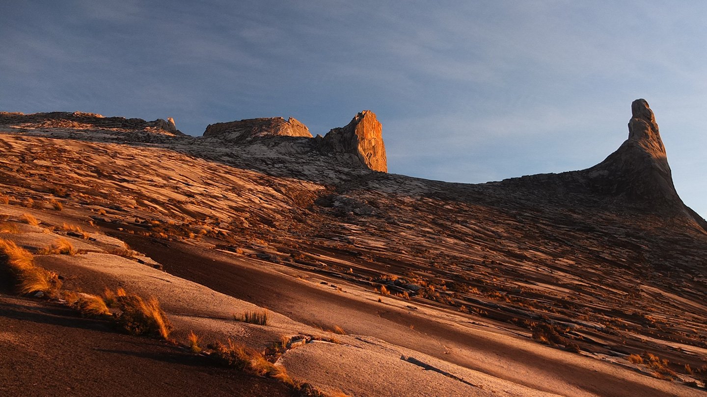
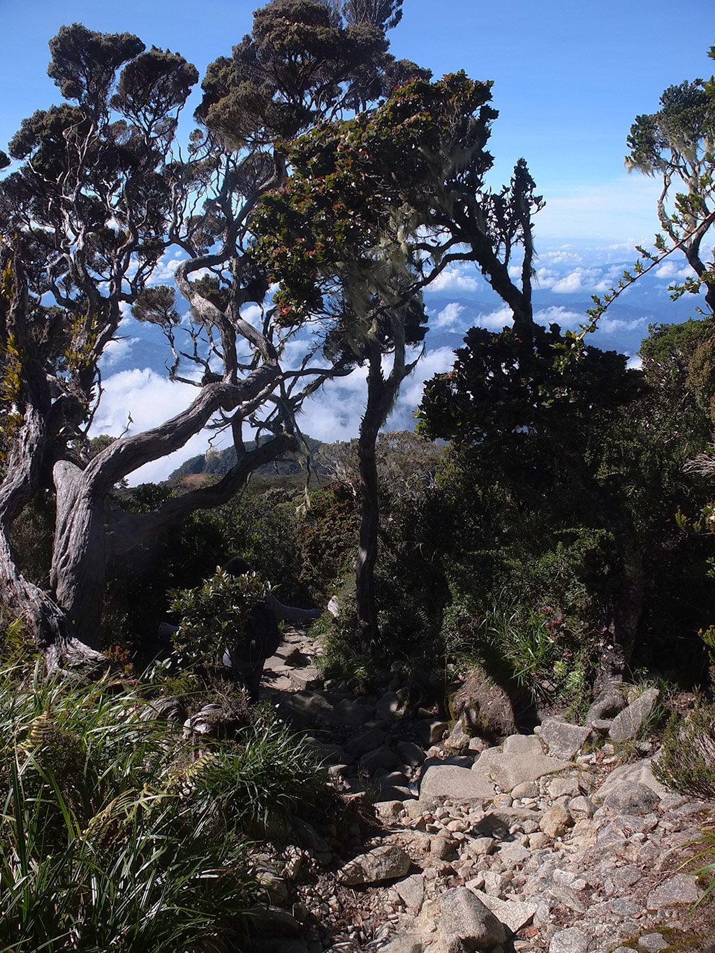
Still at 4000m high, there is some remote plants.
I’ve left the summit as our guide arrived and ask to everybody to go down already. We cannot stay more than 5 minutes there. She did not explained why (because she cannot speak english…) I guess this is because we must leave some space for the people who are coming. But hey! how much money we have spent for this?! And you tell us that we can only enjoy that few minutes?!
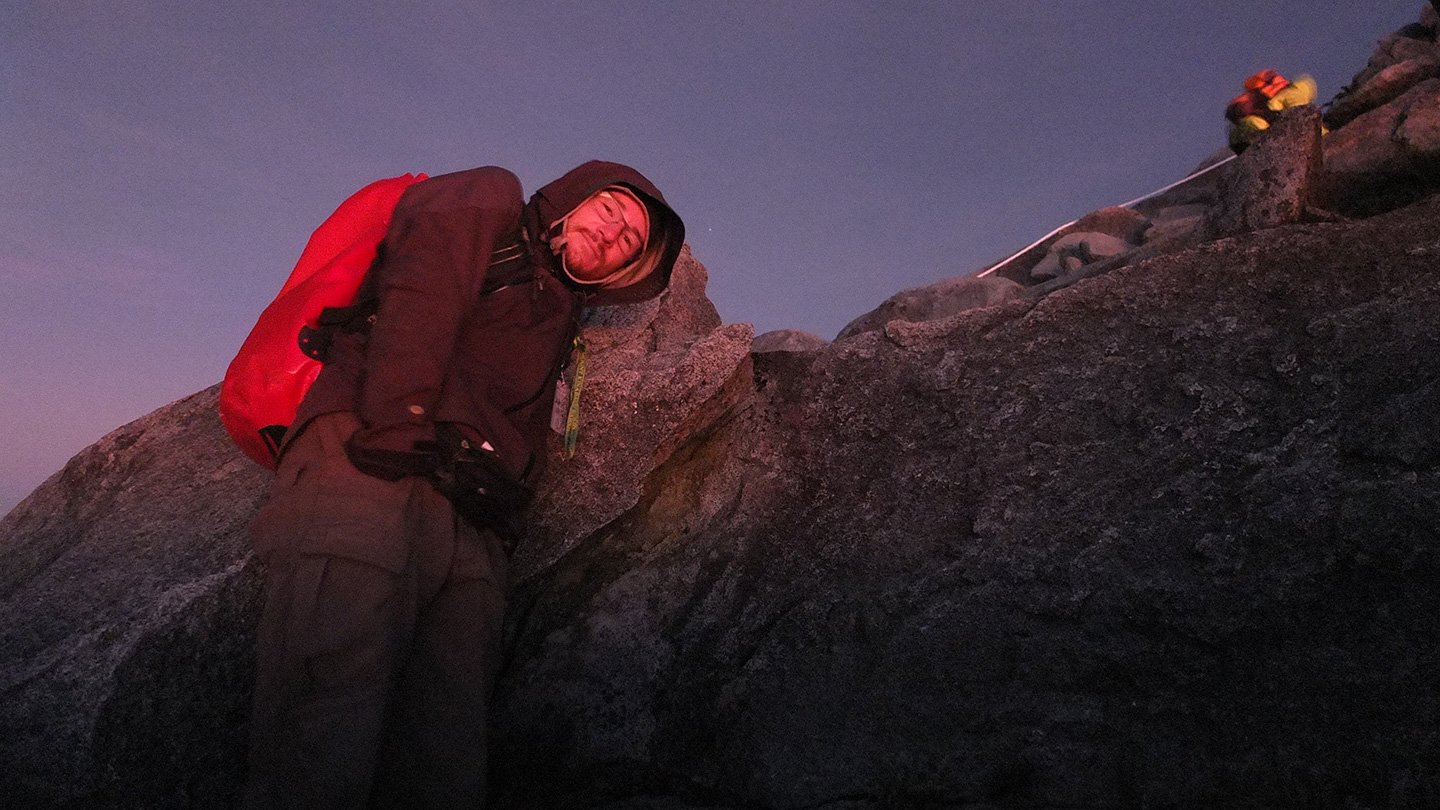
I’m getting cold. I’ve been up there too early and did not move much. I think I will go down before the sunrise to catch some different pictures.
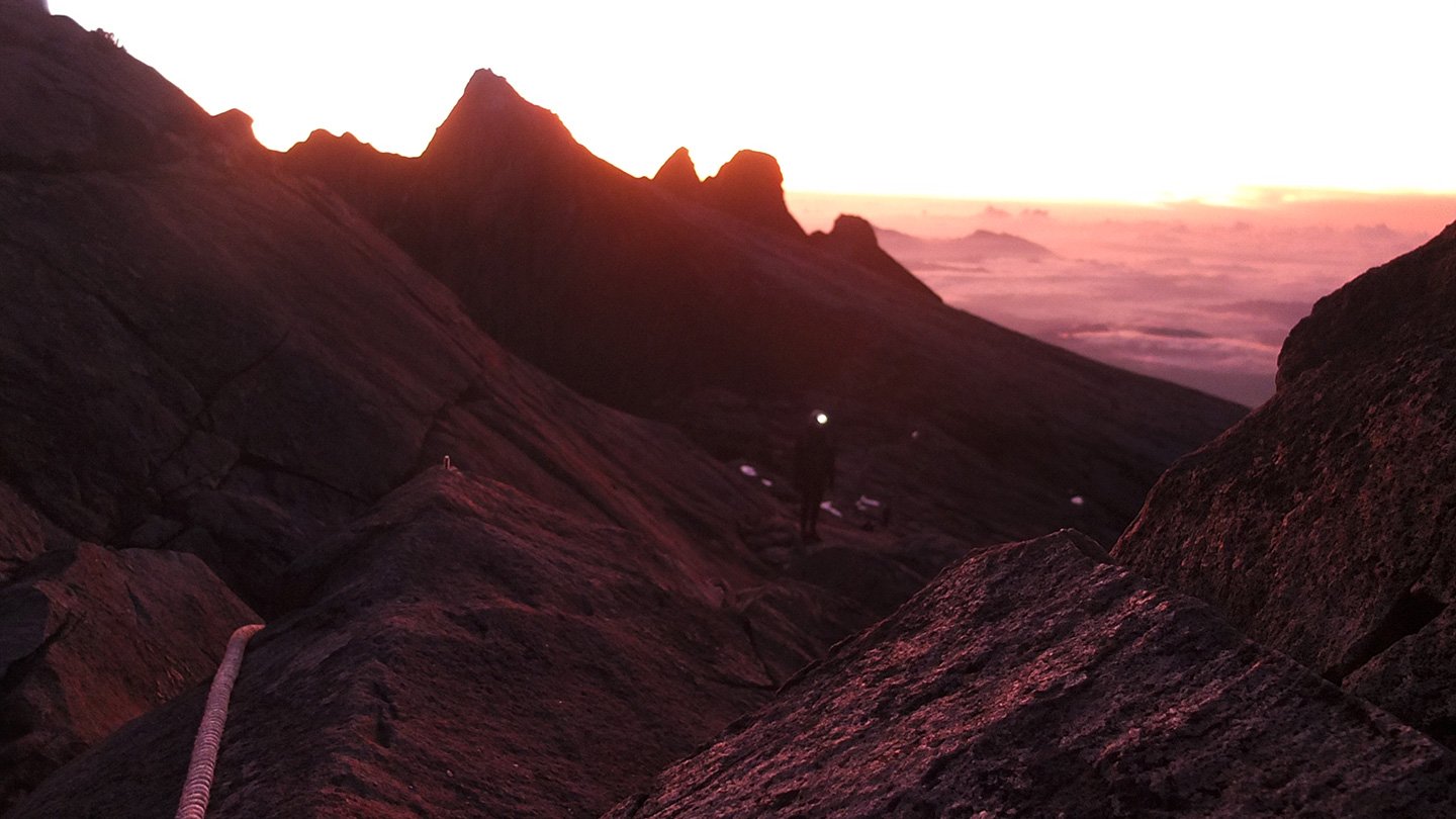
I’ve missed the summit sunrise but it’s still very nice here.
It looks less “flat” than from the top.
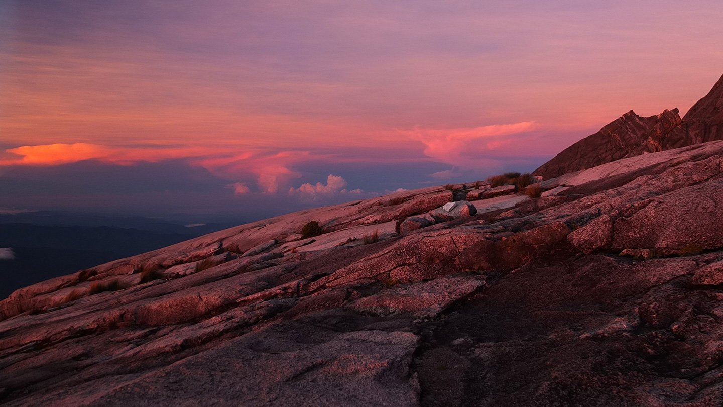
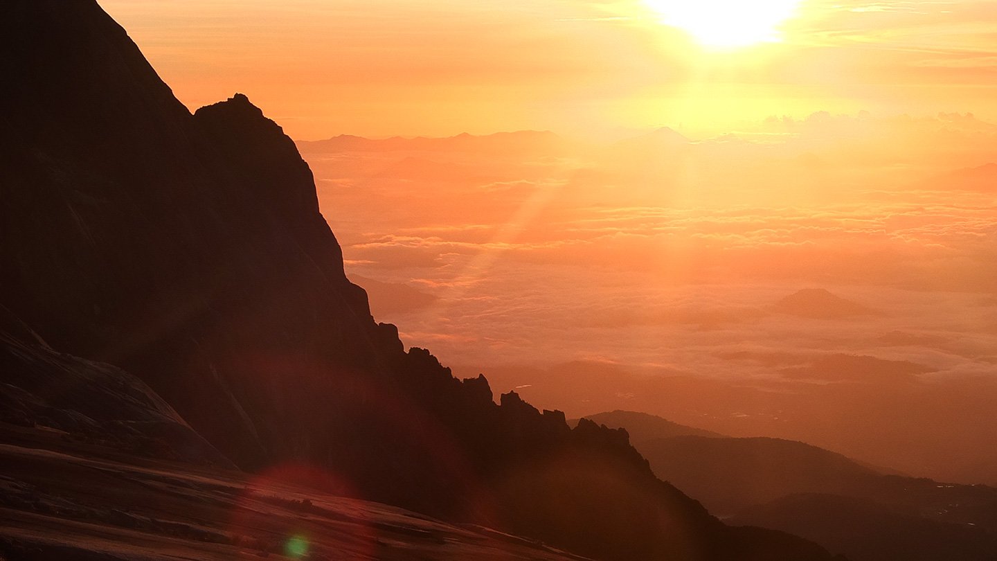
Nice colours.
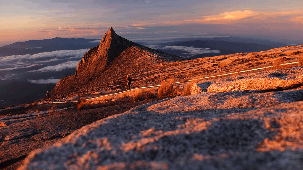
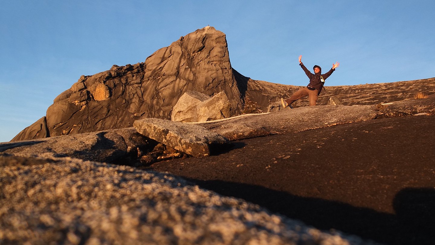
Low’s peak where I where few minutes ago.
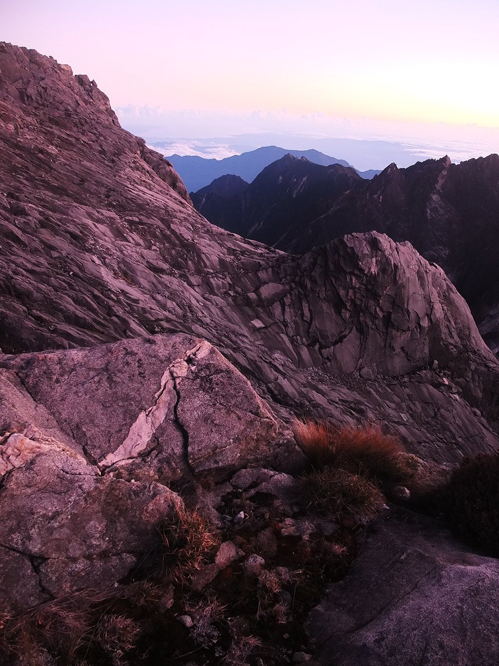
I like the textures of the rock around here.
Crazy view!
I’m running down when some people are still climbing very slowly.
It would be great to be able to walk on this other summit.
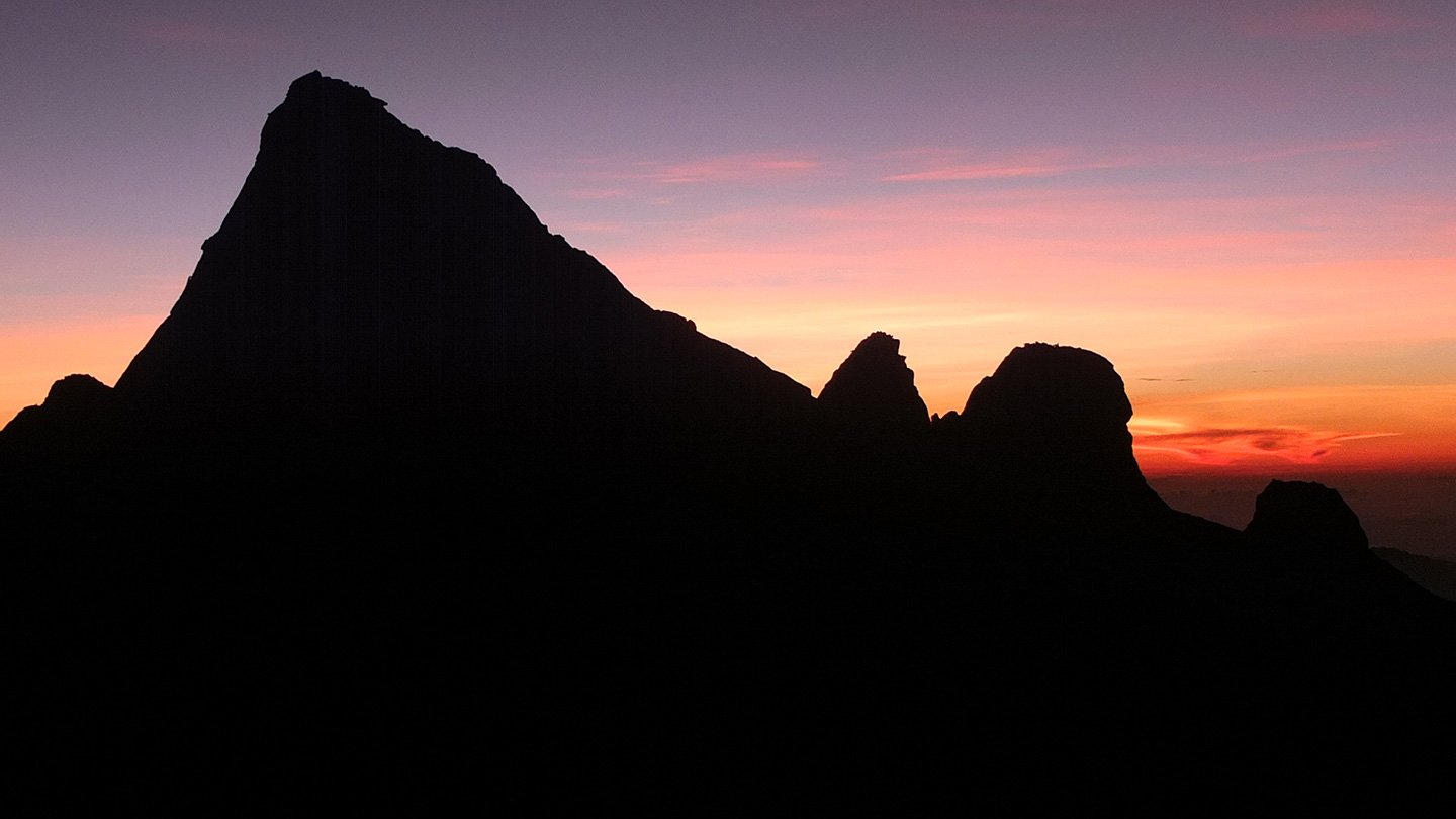
Sunrise!
Colours :-)
Here it is :-)
it’s not cold anymore and I’m moving too.
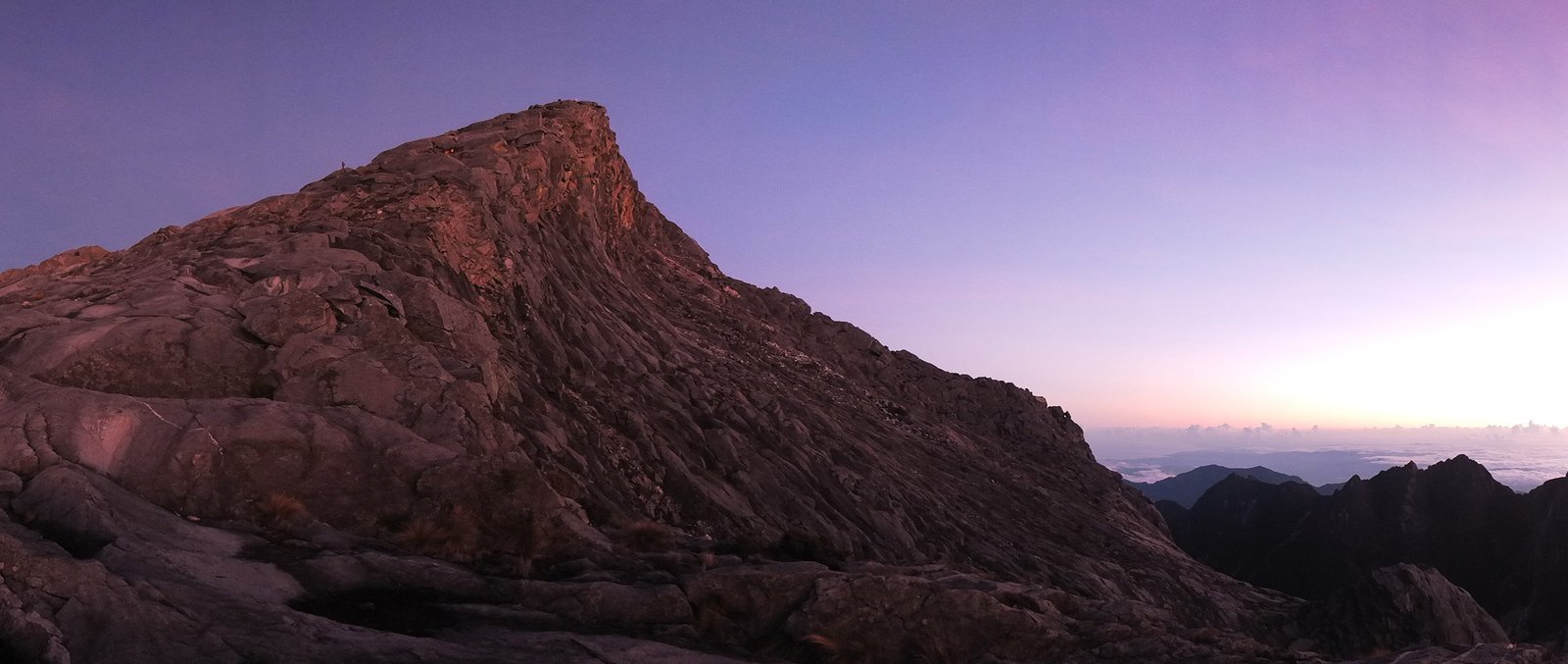
The summit is on the left hand side. Click on the picture to see the gif animation.
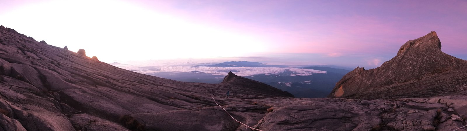
Super view! Click on the picture to see the gif animation :-)
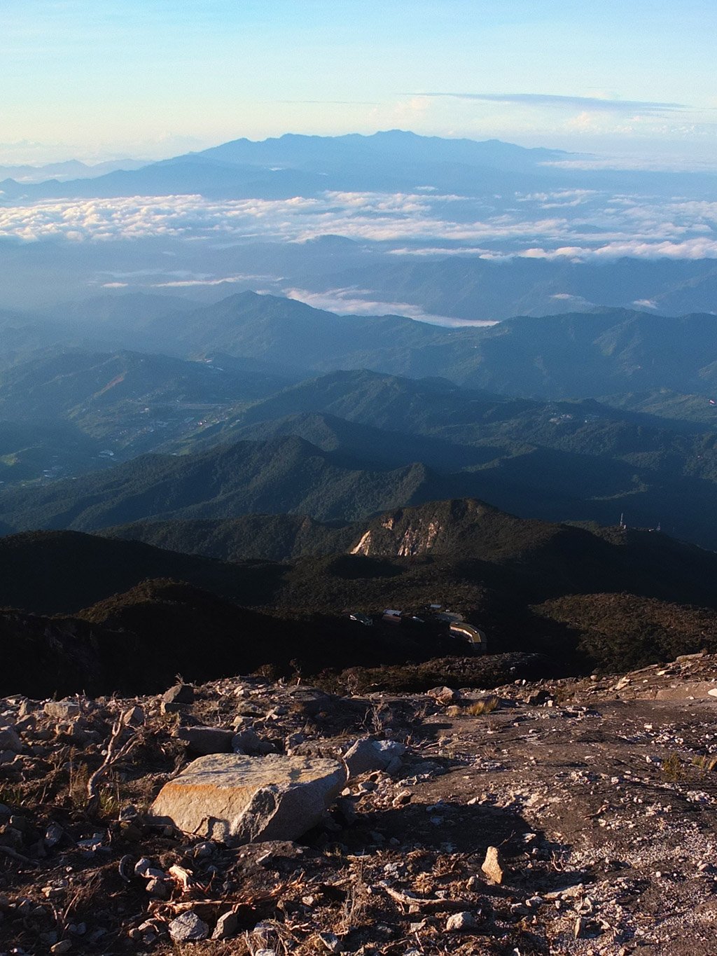
A sea of clouds :-)
Different points of view.
Good morning :-)
Let’s keep going down.
That’s the checkpoint we have passed this early morning. When we payed yesterday they gave us a plastic card with our name and a number on it. This way, you cannot go to the top without paying…
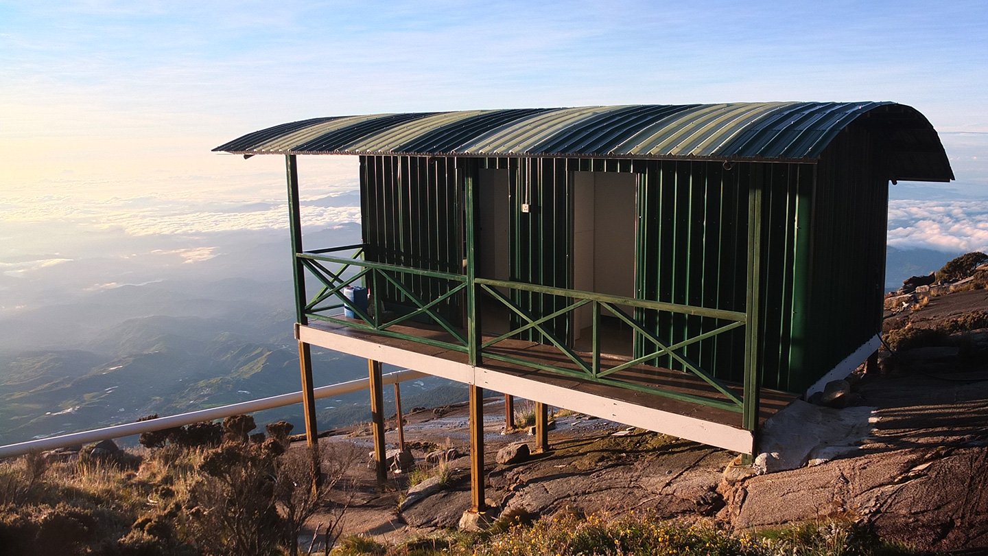
They should have put some windows in each toilets to enjoy the view.
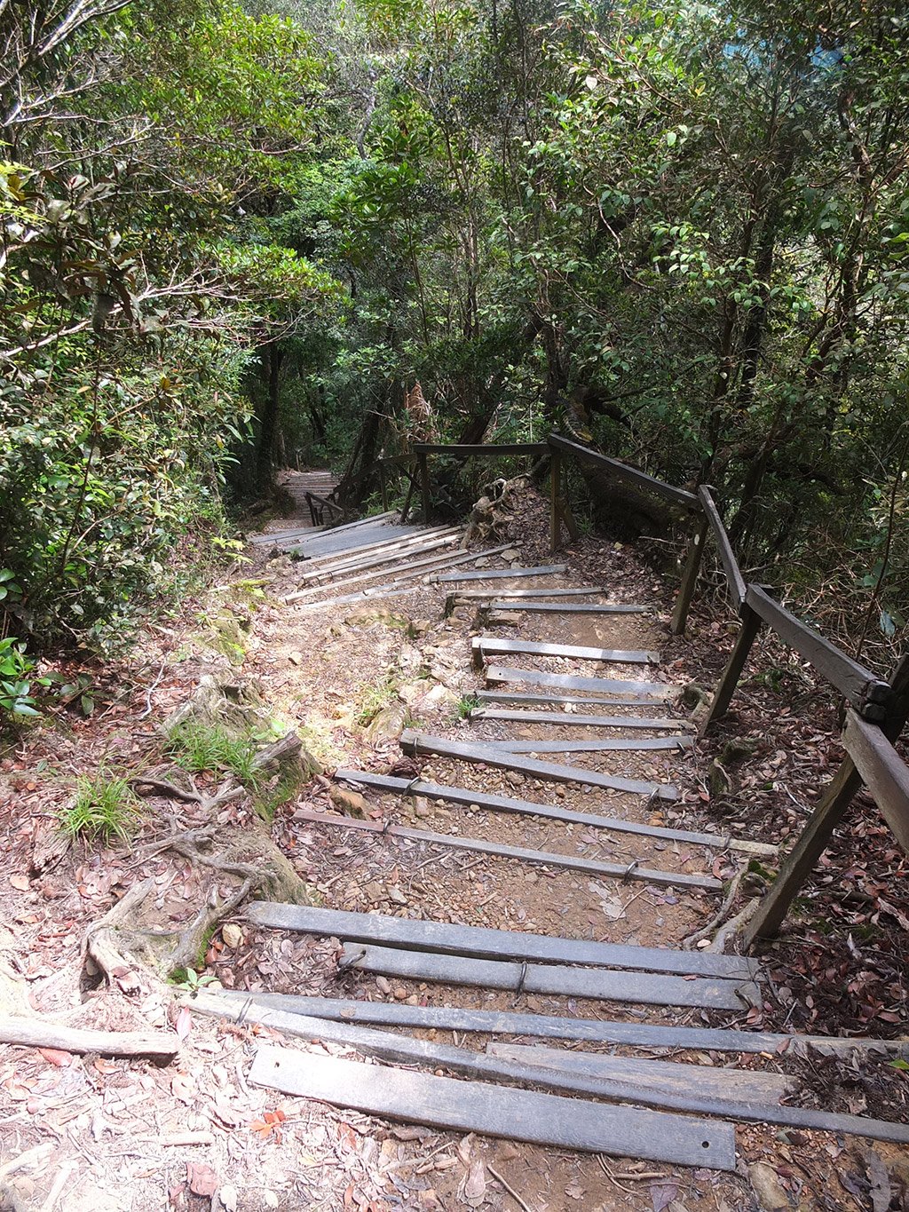
The first stairs back down.
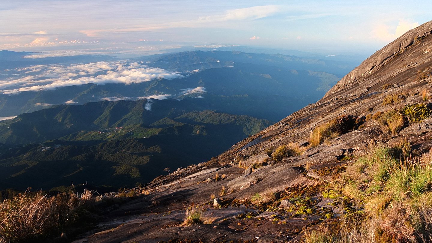
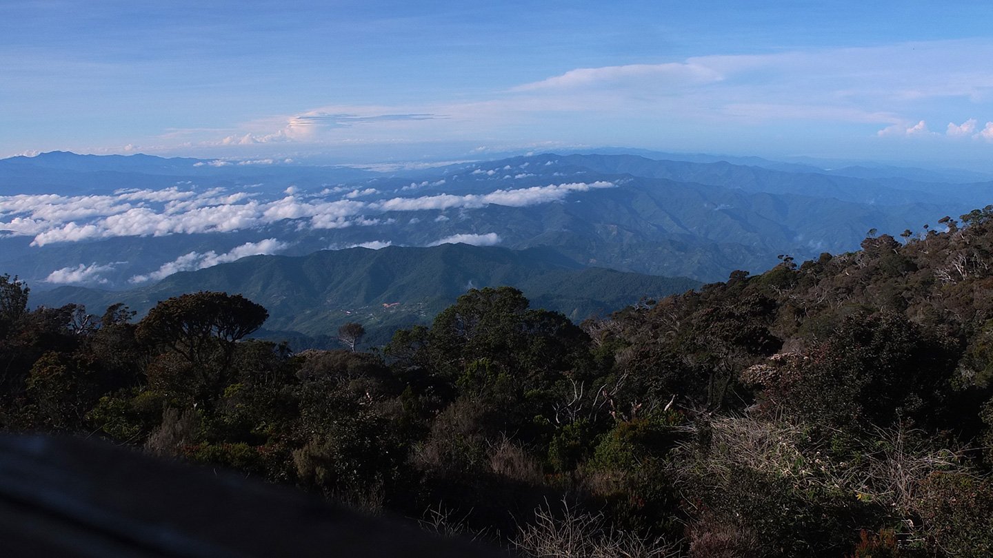
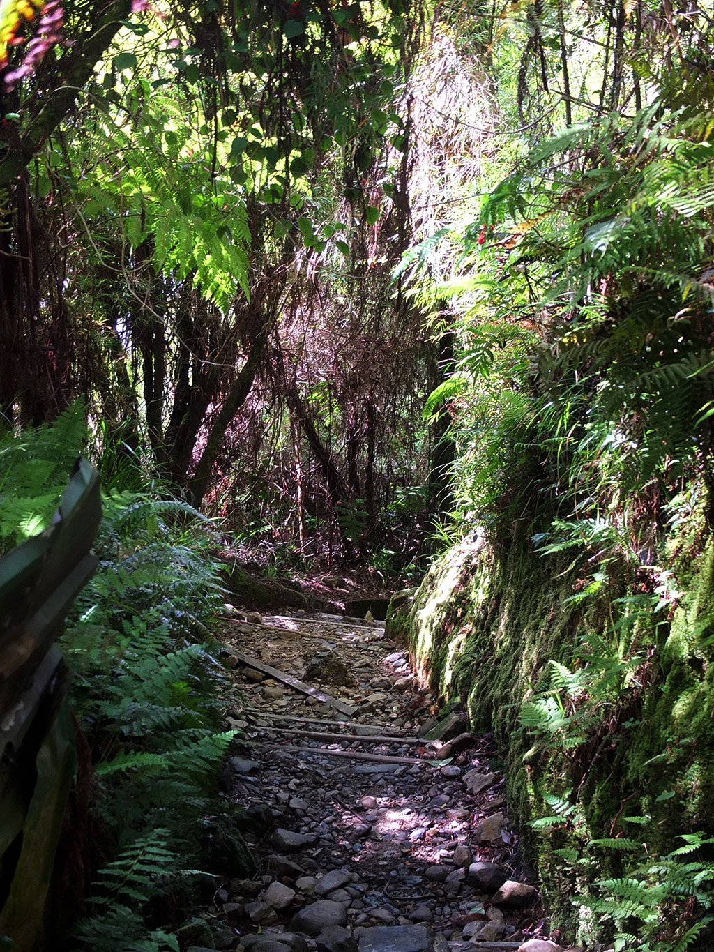
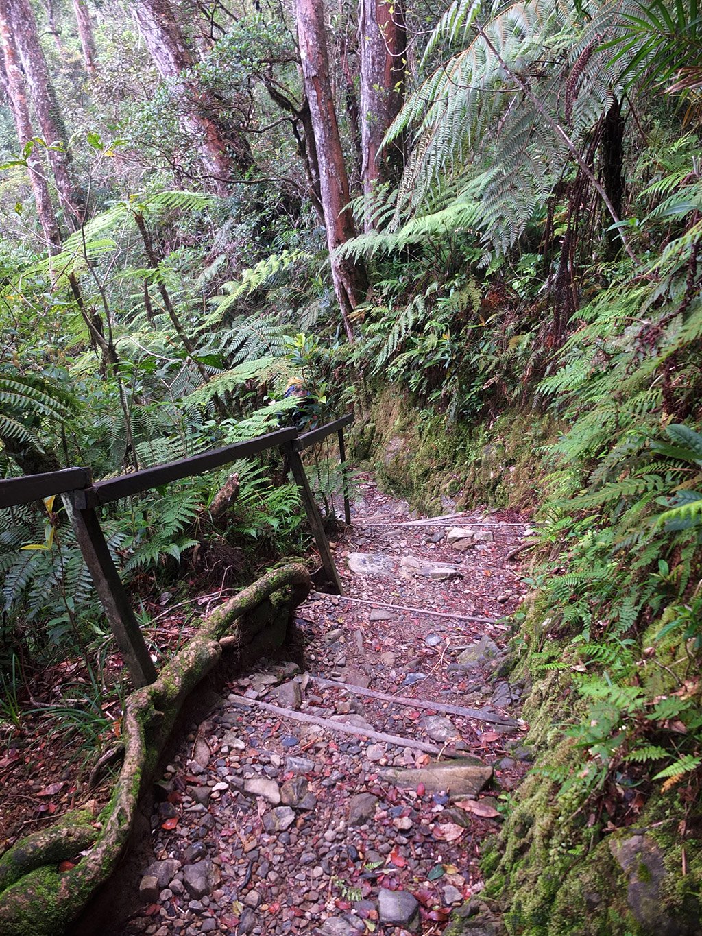
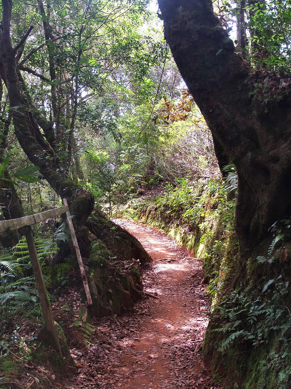
All the way, the landscape is amazing. Perfect weather again today.
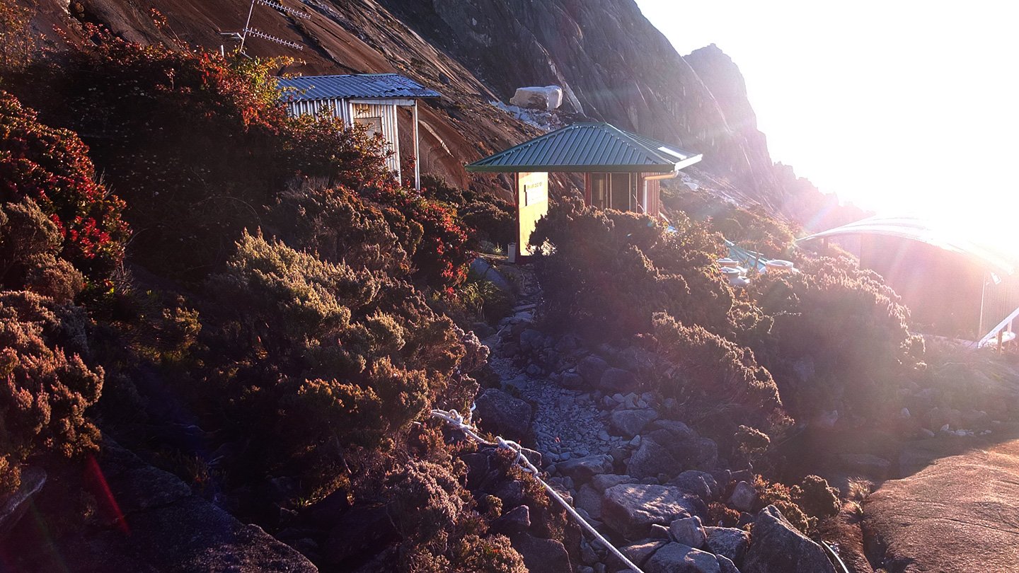
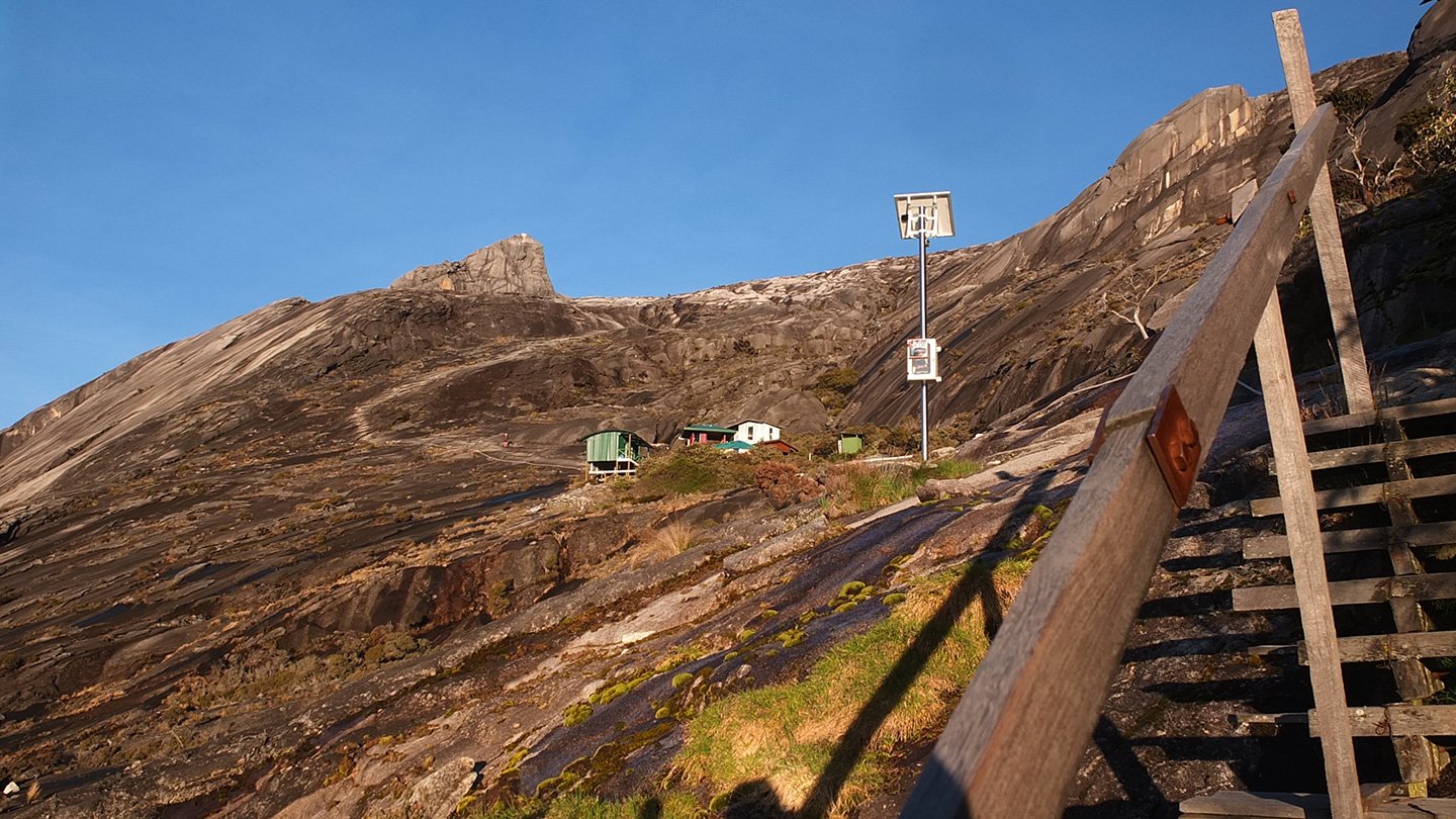
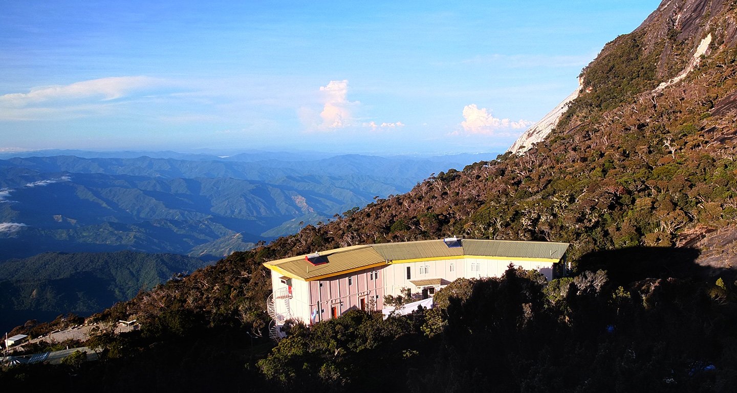
The hut is down there.
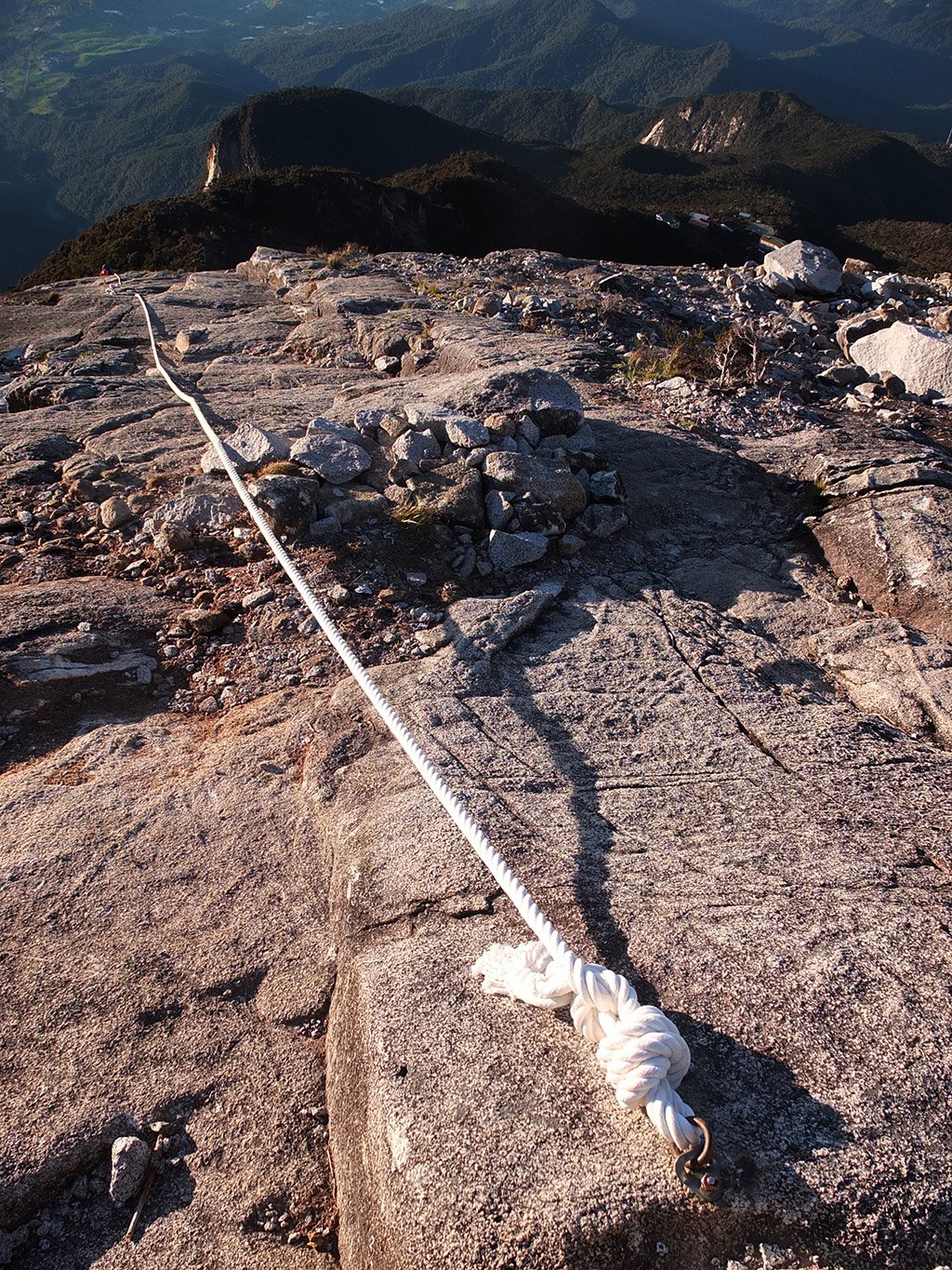
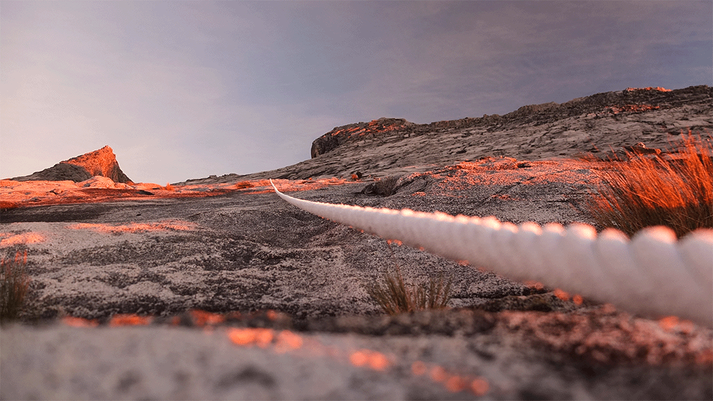
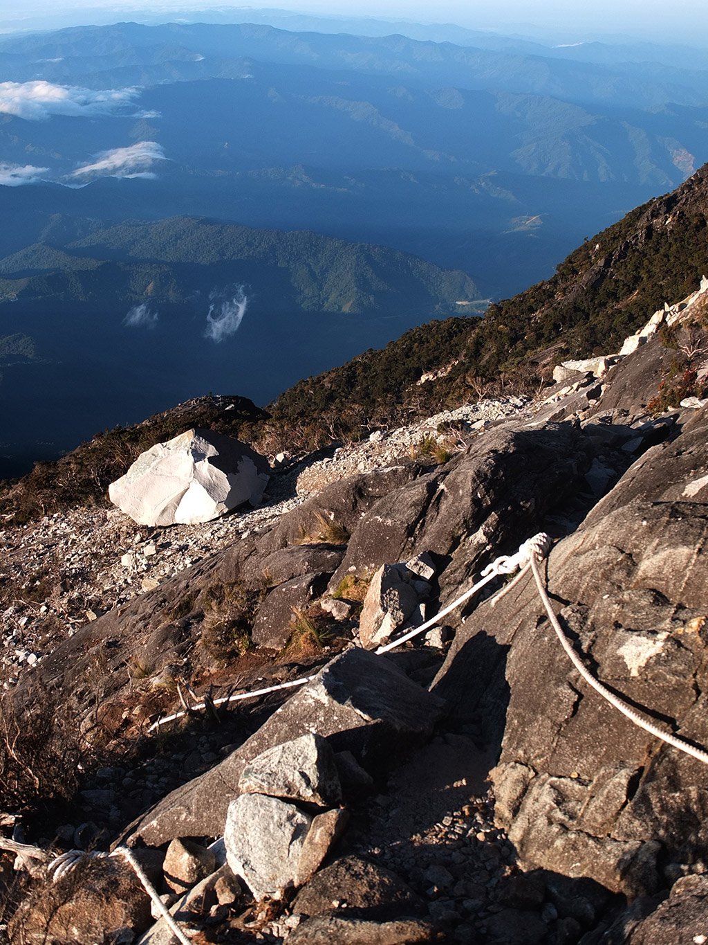
Like this morning, we have to use this rope as the relief is very steep.
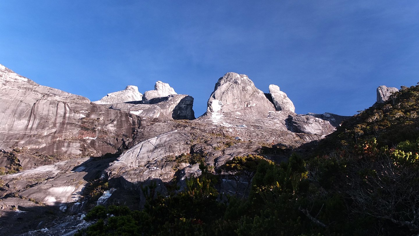
Apparently this big white rock is not due by the earthquake. Someone said that some company dynamite the mountain for business purpose. I’m not sure about that. Why would you come that high? There is certainly the same kind of rock down there in a more accessible place.
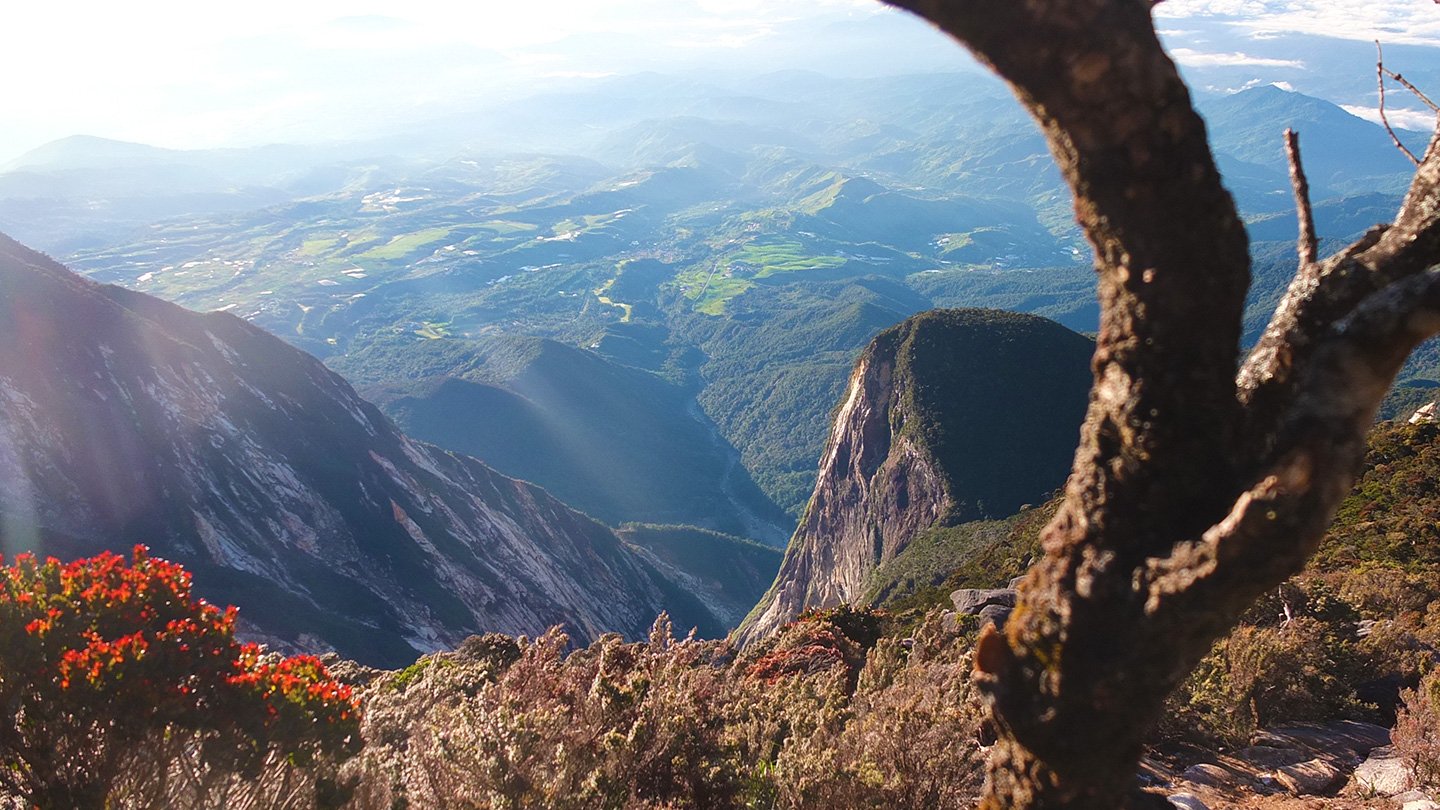
View on the valley.
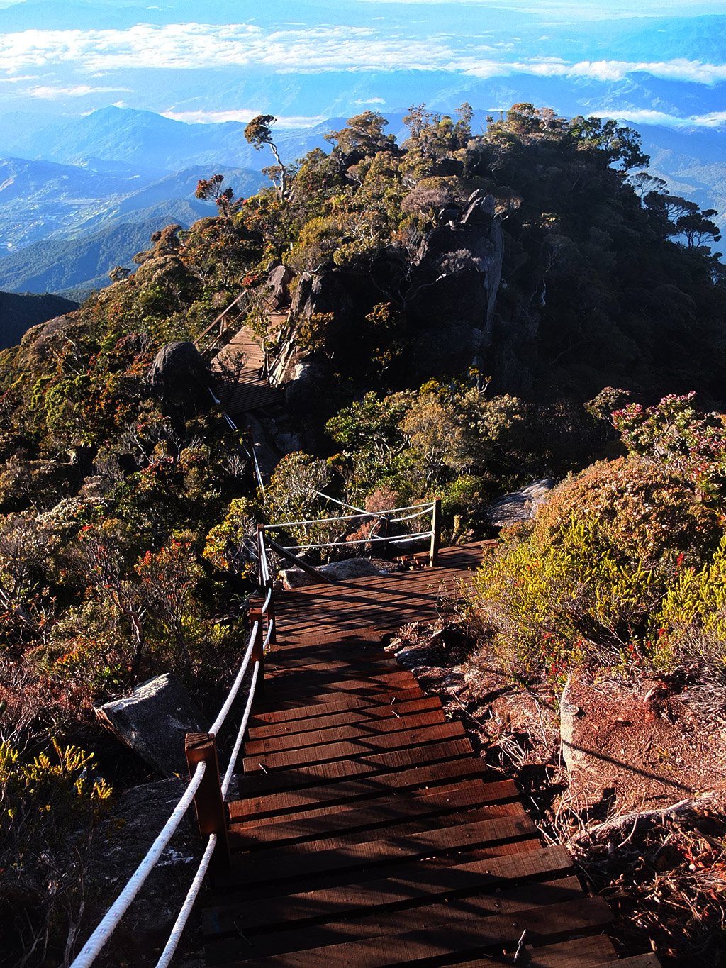
The track is becoming more civilized already.
Impressive.
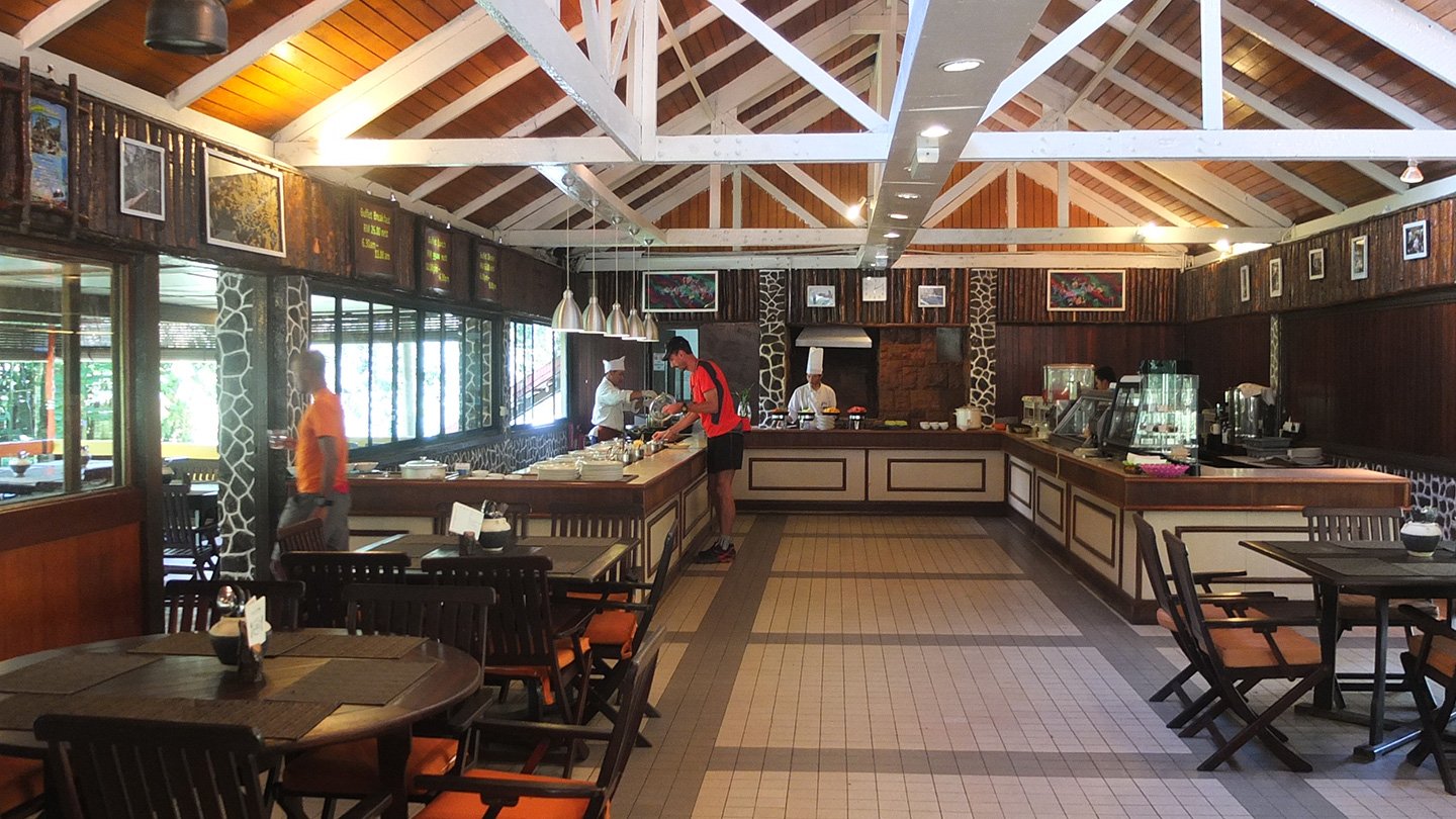
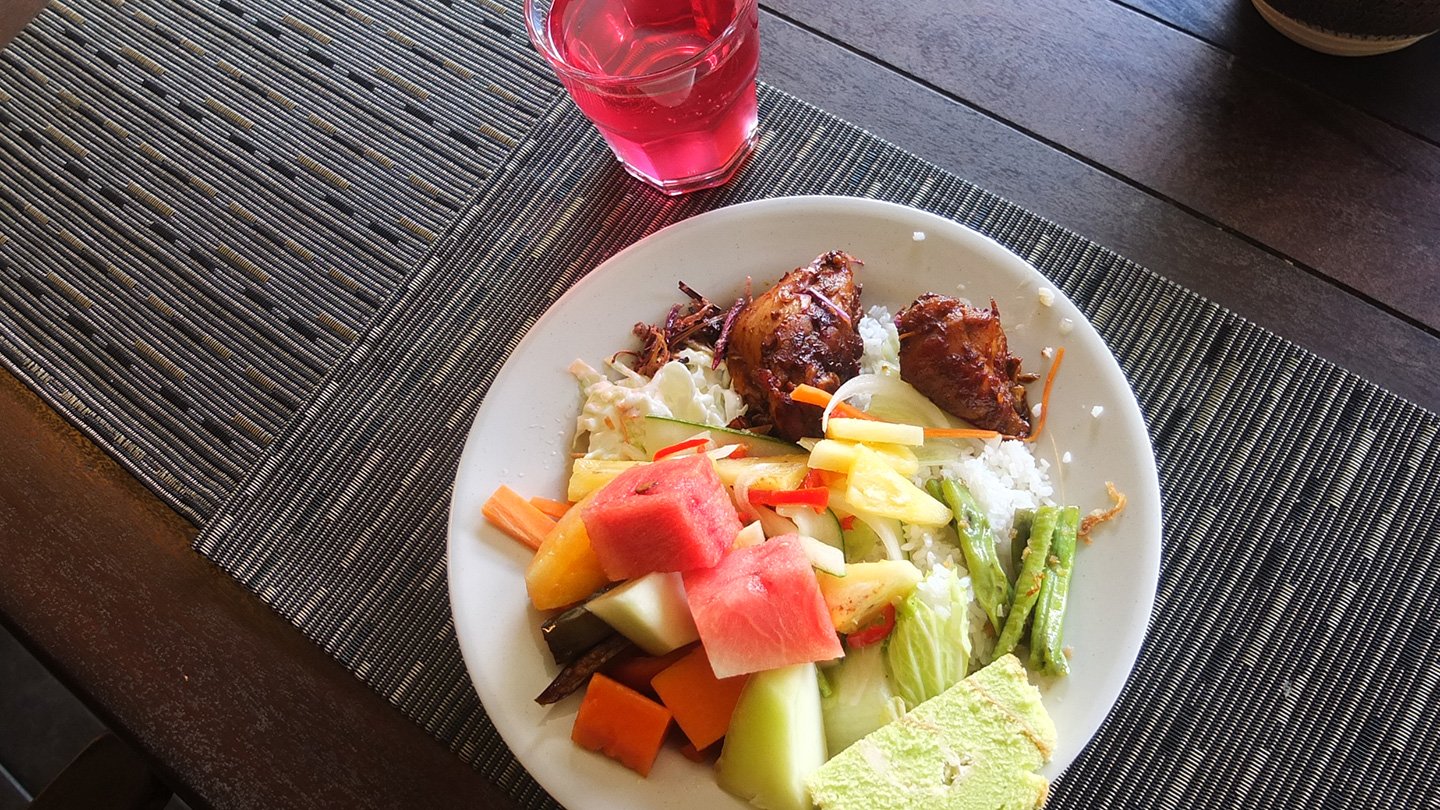
Ouuuh, breakfast is waiting for us! haha.
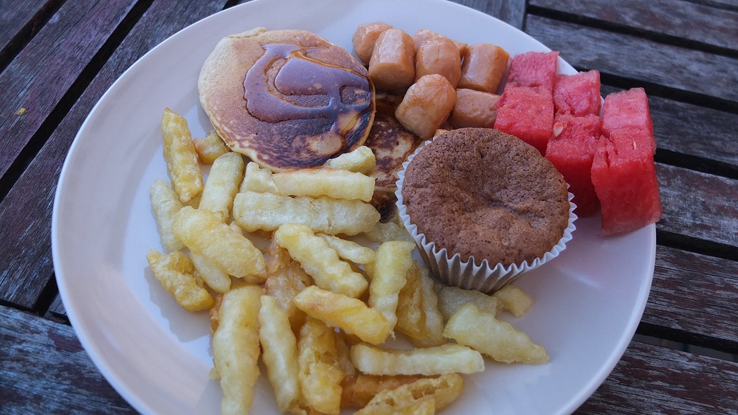
Miam!
We have about 2 hours break before leaving the place.
Let’s go!
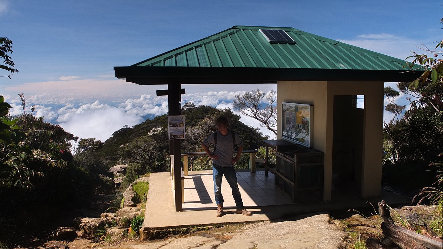
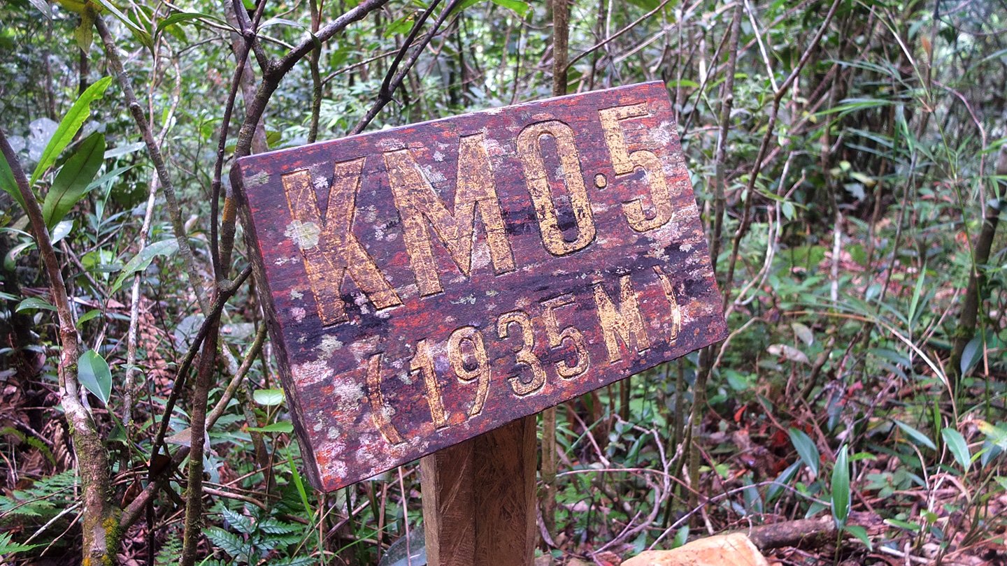
There is many shelter like this one along to way, Maybe one every 500m to 1km maximum. There is toilets and some informations about the environment here.
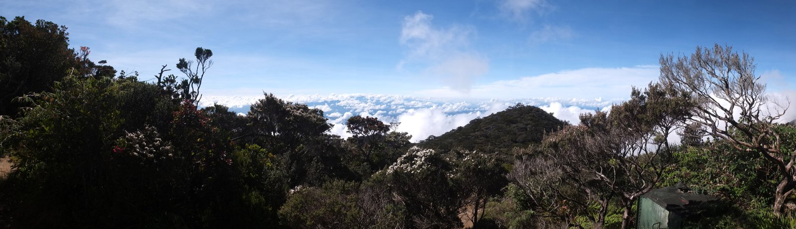
Panoramic picture.
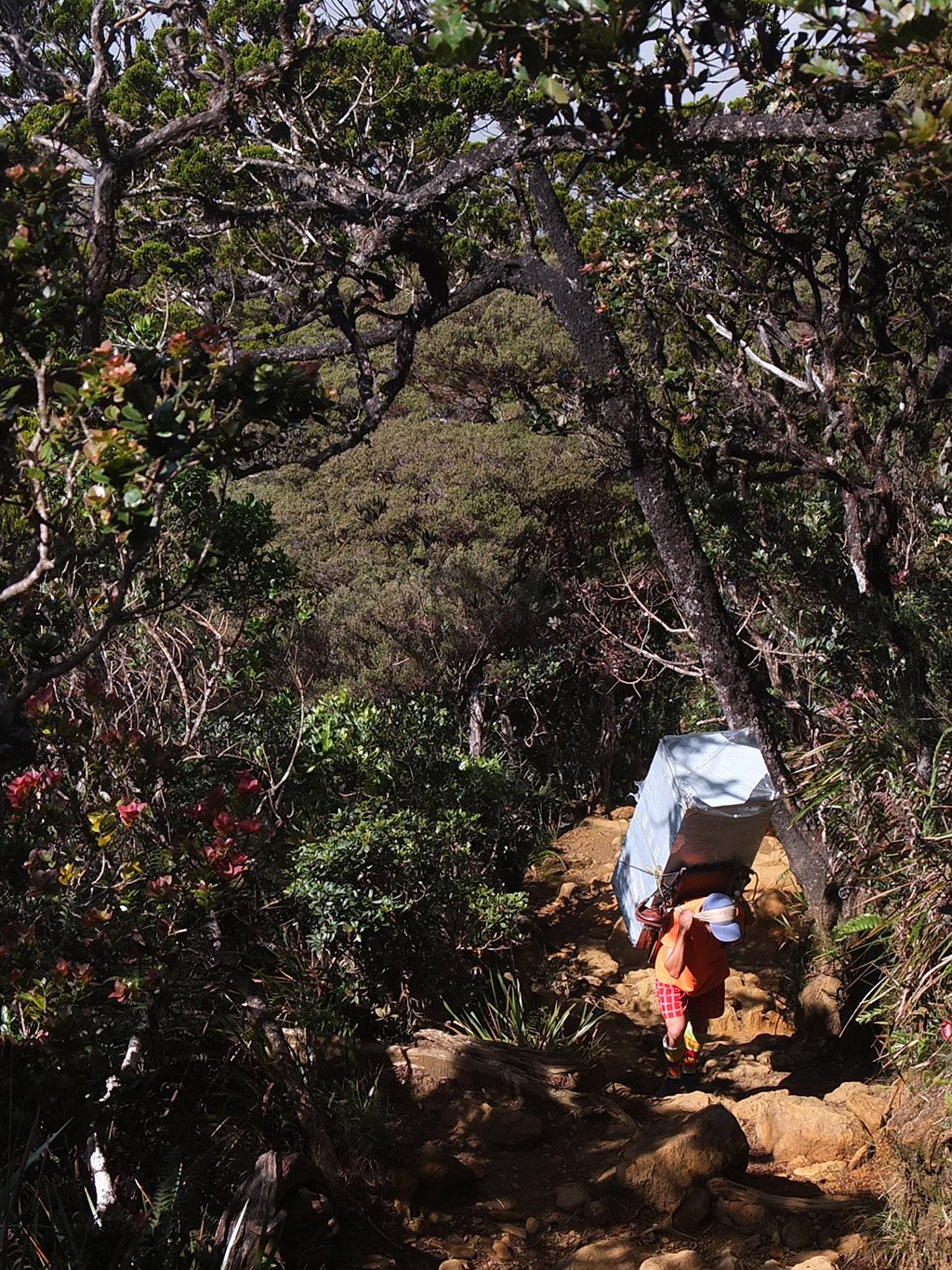
Wow, this guy is carrying a box the size of a fridge! I hope it’s empty!
And the track goes on and on and my legs start to feel sore since a little while now. That’s an hard track, even in two days.
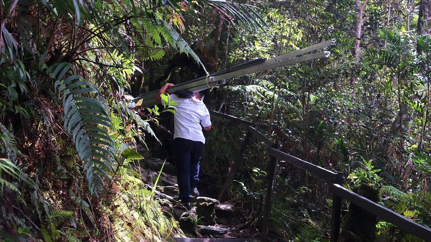
And another guy carrying some heavy stuff.
Sometimes I feel better running slowly down the stairs than just walk. It’s less painful for the legs.
Aaah, a bit a flat area is good :-)
Aie aie aie…
Nearly there, 500m left!
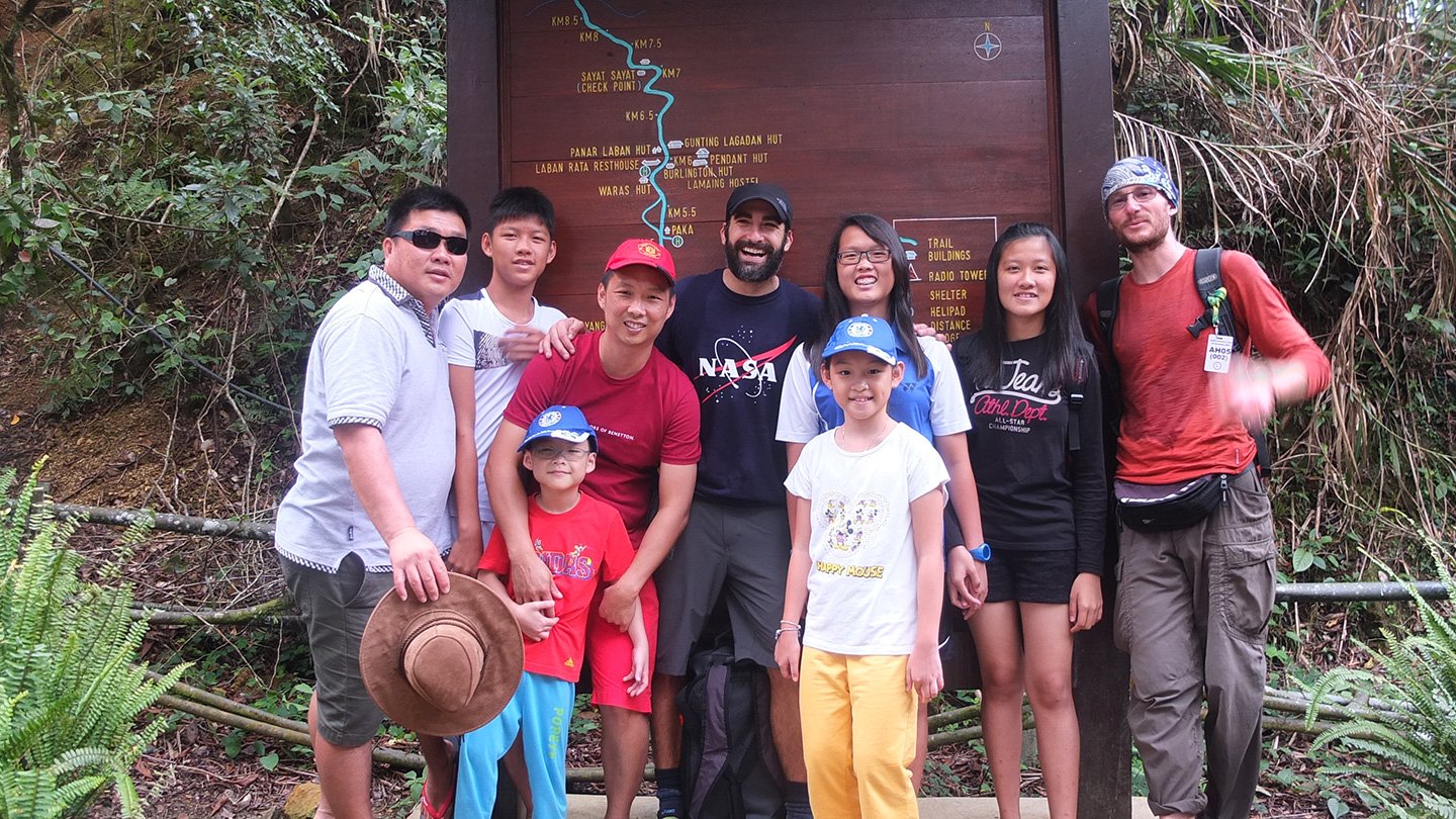
We met (with the Nasa guy) a family at the entrance of the park. The dad asked us to take a photo with them. haha, why not :-)
Everyone has arrived, I mean Stephane and Bert. Ah yes, and the guide too. I forgot we had one haha. We took the van back to the park office and will enjoy lunch now :-)
Mmmh, that’s so nice to be here after this 18km track return.
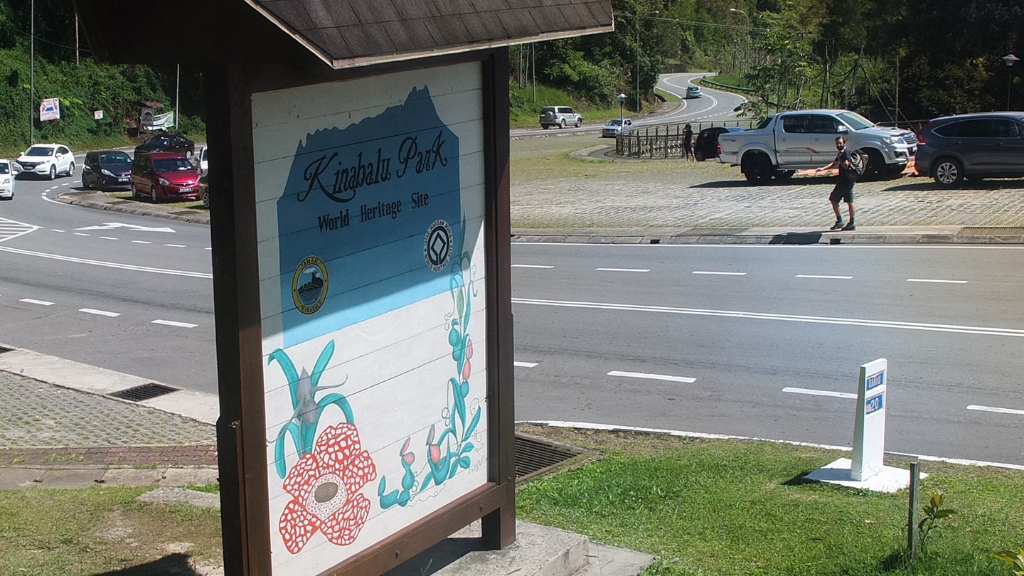
This is it for Kinabalu park :-) We are now going to Kota Kinabalu a city that is 88km away from here. We met the French guys again. As we were looking for a bus to get down the hill, they offered us a ride. They payed for a package which included the minibus trip back to Kota Kinabalu but the driver asked us 10 ringgit per person. Nothing is free here, it’s all business. Well, I still think it’s expensive for what the service is. Of course the view is amazing but the nature did that. The people here just created a business and abuse a bit too much of it. Unfortunately this is not going to change I guess.
Once we arrived in Kota Kinabalu and went to a cheap backpacker, the Sensi Backpackers Hostel (30 Ringgit for one night in a 8 bed dorm. breakfast included). Bert has been there before, that’s saved some time.
The sunrise is beautiful. You are really lucky with weather I guess.
We did not have rain during the whole trip. We were very lucky, yes!
Superbe, vraiment ! Je suis jalouse quand je repense à notre météo balinaise sur le Batur !! Bah, tant mieux pour vous, et pour nous aussi finalement nous bénéficions de ces magnifiques photos !