As I’m getting closer to Melbourne the roads to reach my goal are not the most interesting. There is always the Major highway which cut everything apart and which I can’t use. All the other tiny road are twice as long and I feel slow. But I don’t have much options and I don’t want to take 3 days to arrive. So I’m trusting my GPS (not every time) and try to find some nice road away from the Princess Highway. My friend Wendy lives on the west side of Melbourne. At the beginning I wanted pass down the “Port Phillip” bay but it would be one more day again. I’m not in hurry, not yet. I want to make sure I can cover those 5000km from Sydney to Melbourne in 3 months without rushing at the end. On the other side, I expect to have enough time to visit friends and interesting places.
Map.
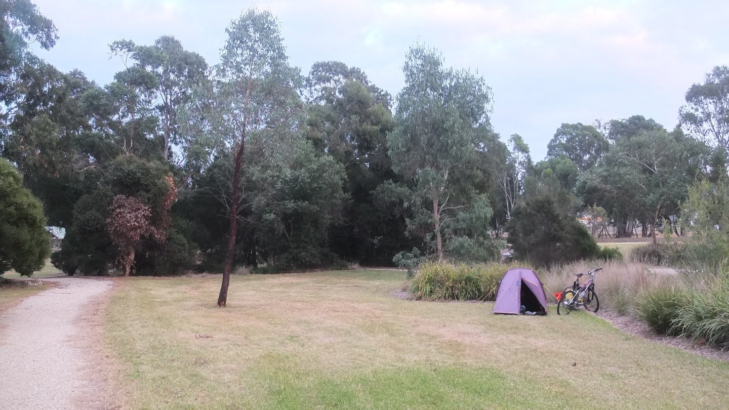
When I arrived in Heyfield yesterday evening, I did not really know where I could pitch my tent. There was a nice park and I finally found a good spot and slept very well.
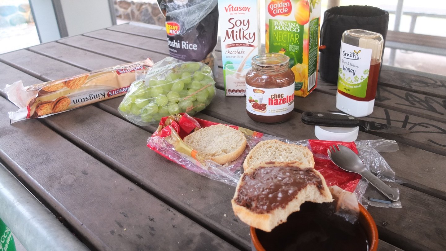
To start the day, I need a good heavy breackfast :-) English toast with hazelnut past, grapes, honey and tea, cookies, banana/mango juice, soy milk with chocolate and Cashew nuts (in the Sushi rice packaging). With all of that, I should be fine then ;-)
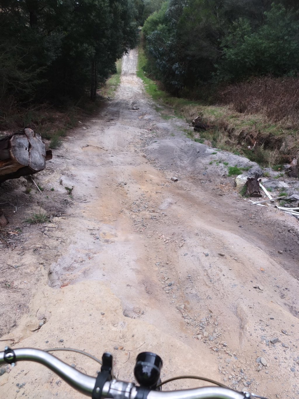
Arf! The map did not show this part but it’s a very steep start!
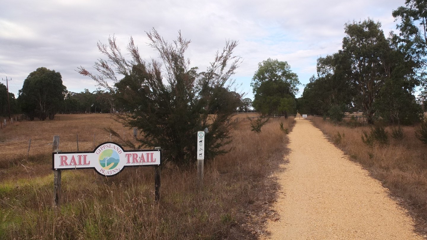
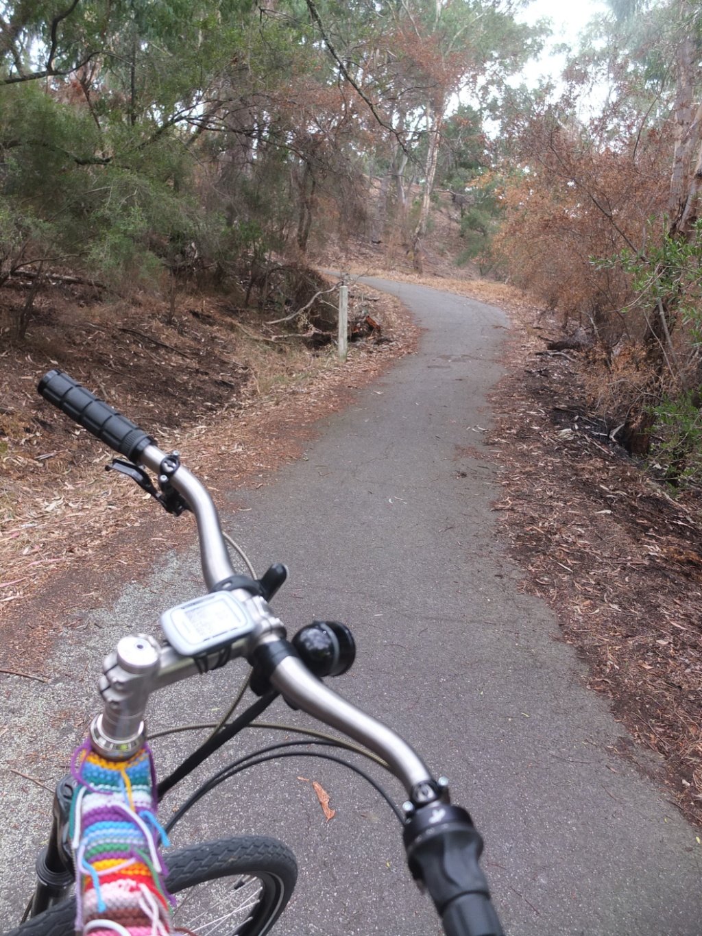
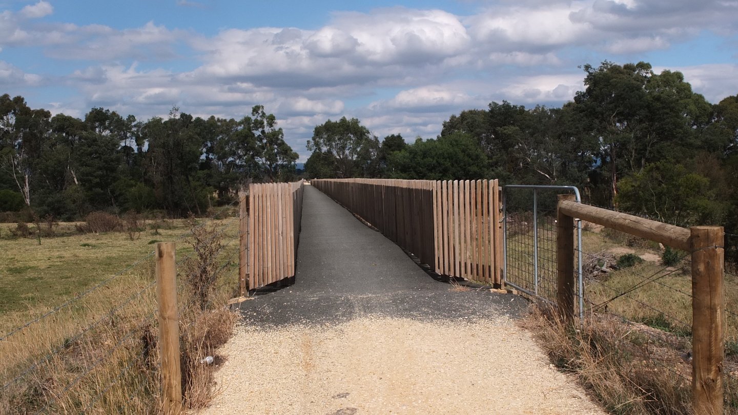
Finally, I’m on the Rail Trail again.
The Rail Trail is passing directly through the villages which is nice because between it’s completely straight.
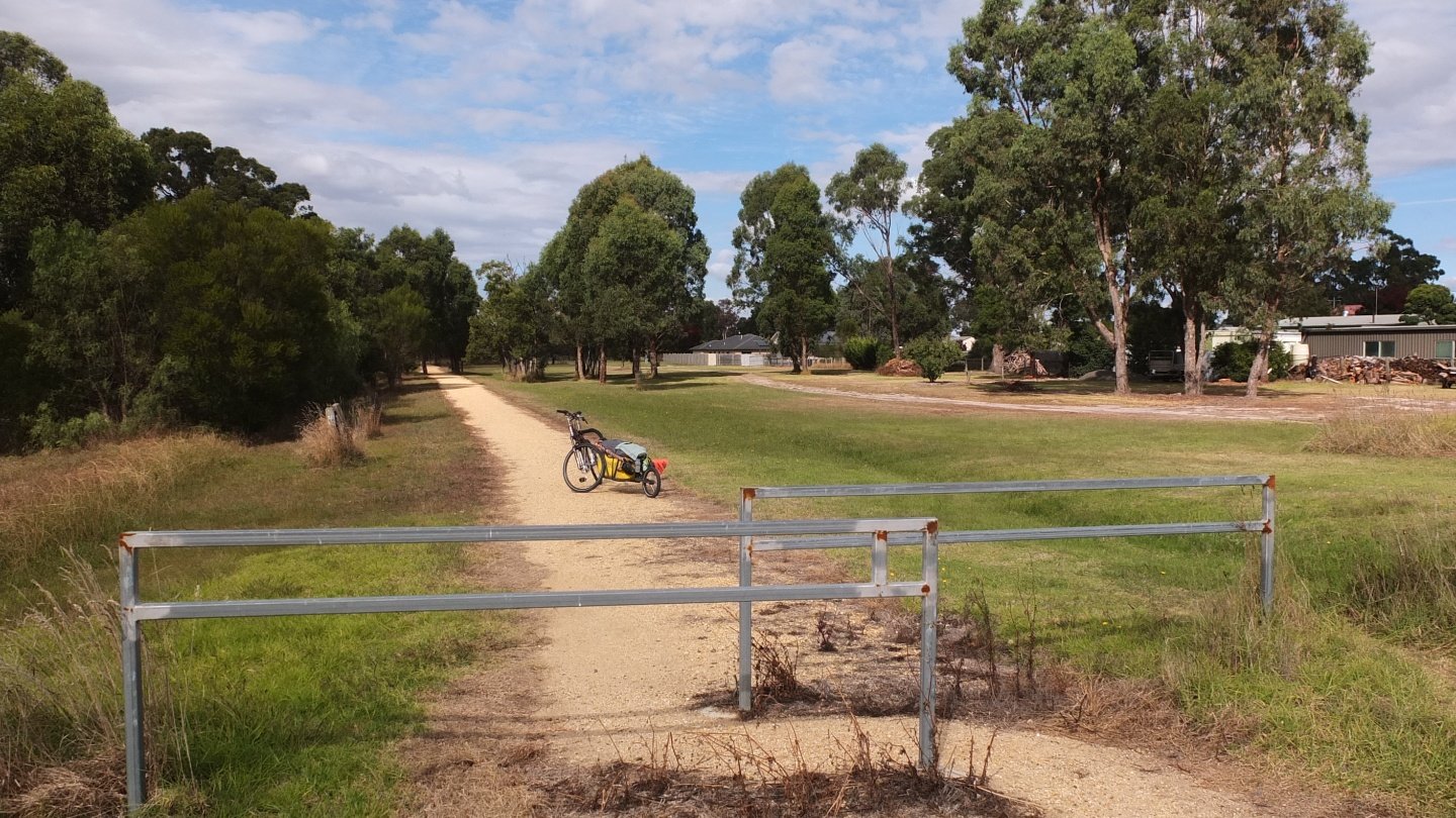
10km later I’m in Glengarry. I’ve done 30km now and I’m going to have a longer break. I also want to dry my tent because I’ve packed it wet this morning.
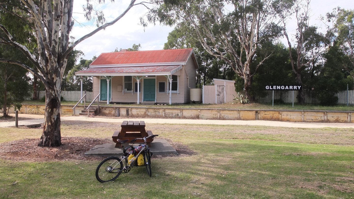
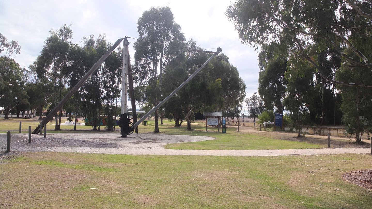
The old train station. It was certainly nice when the train was coming before.
On the road again!, or the rail I should say.
Flat, flat, flat and light head wind to change :-)
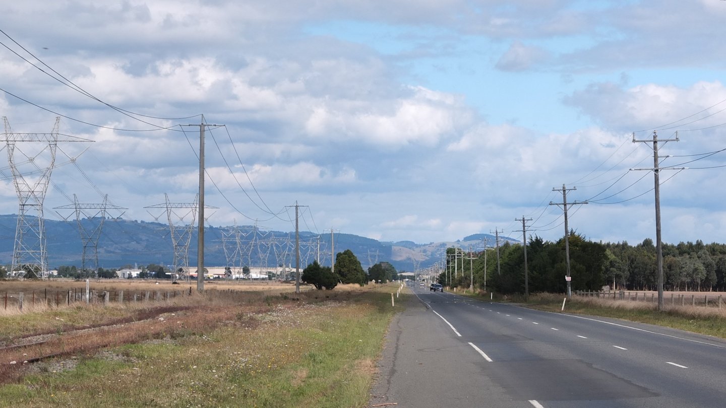
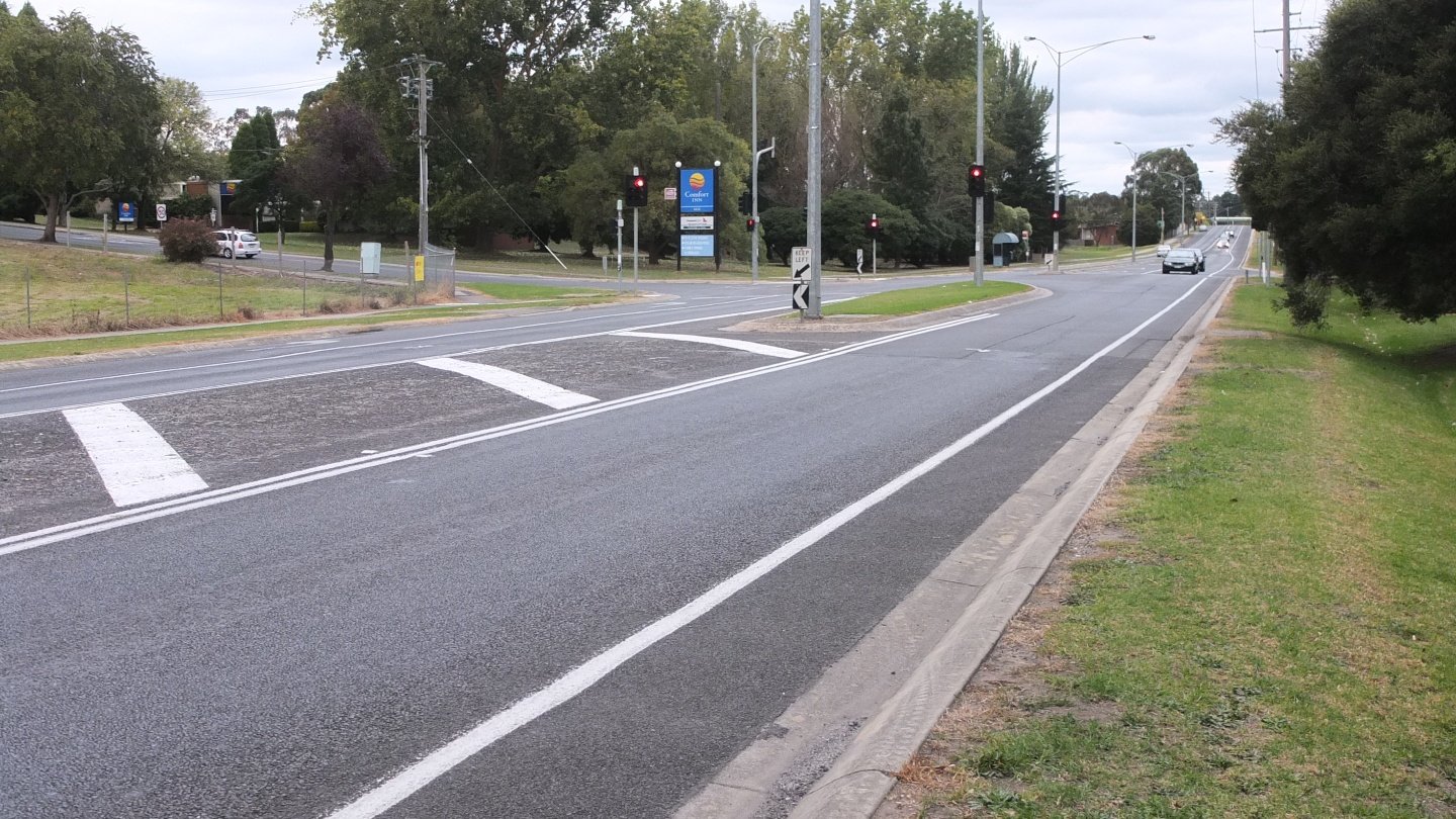
I’m arriving soon in Traralgon and this road is not the nicest one.
Traralgon was a big town with supermarkets and shops. I stopped to find toilets and had my lunch in a park. I’m out now and following the Motorway.
I’m using my GPS today and listen to what the voice is telling me. The GPS told me to follow the Motorway but this road is a bit tricky. It was going downhill and I could go fast but something told me that I should pay attention. Fortunately, I was slow enough to be able to stop before these holes on the ground.
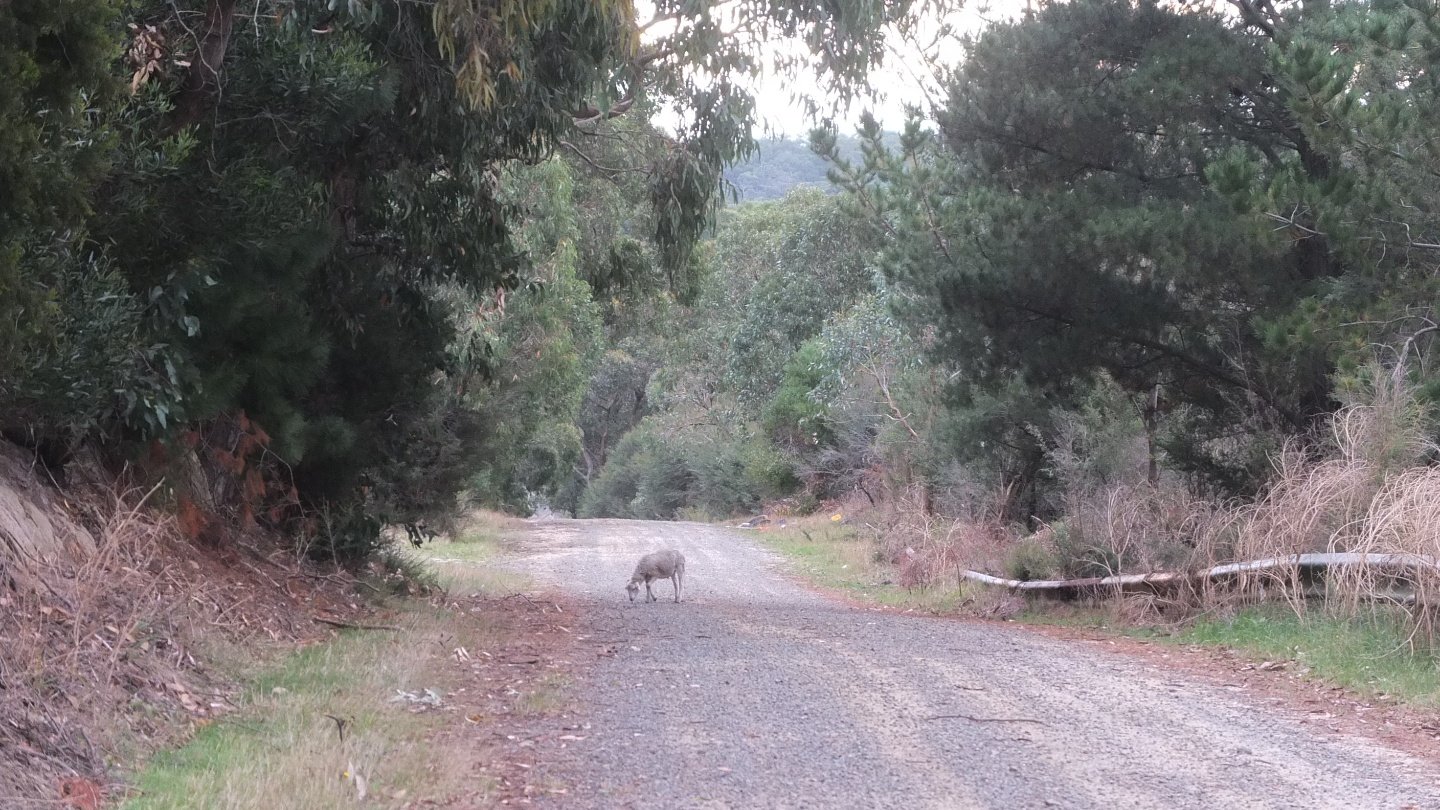
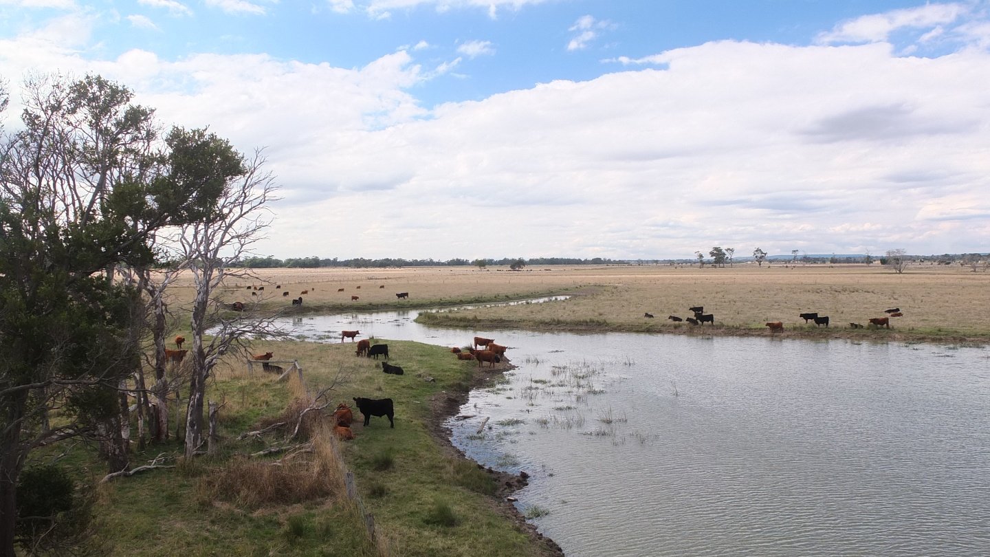
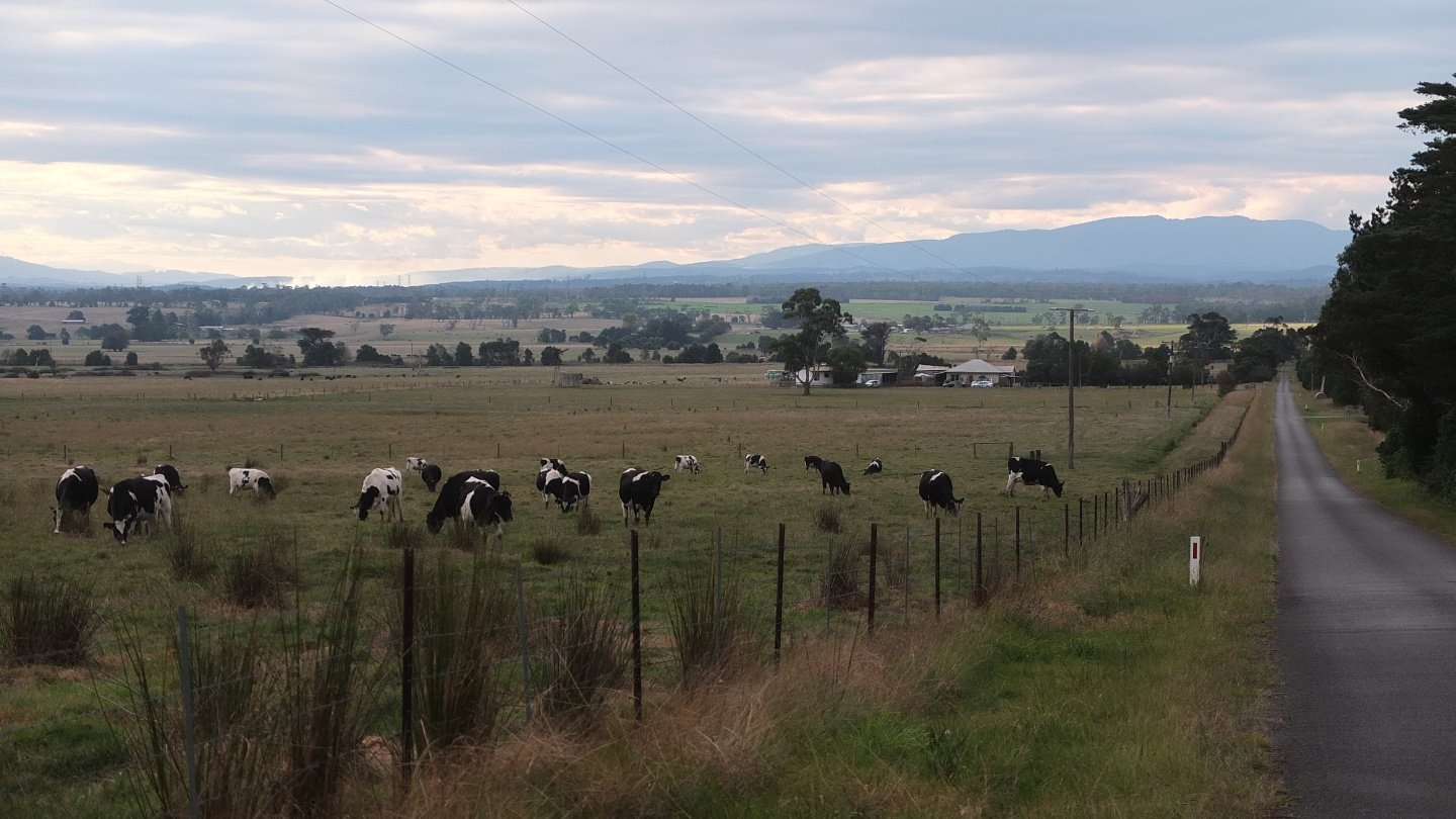
I’m still following the Motorway which is on my right side. This on should be in its field! Psss! move cheep!
Now in Moe, I was cycling on this road when I’ve seen lots of coins on the bitume and recognise some 1 or 2 dollar coin. I stopped and walk back and…
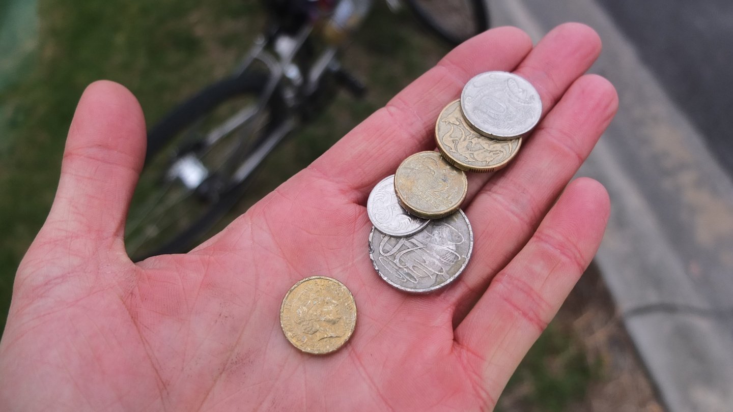
… look! That’s $5.30 and I found 70 cents 20 metres later! Cool! I’m going to buy some cookies ;-)
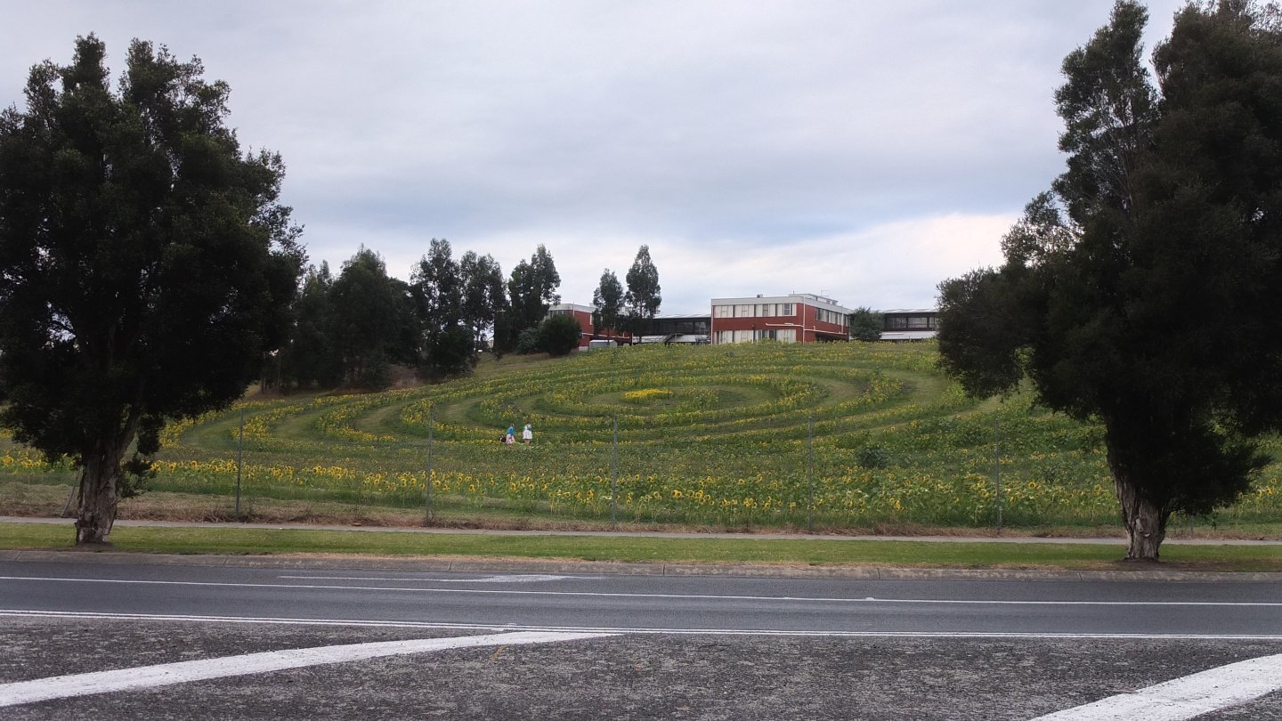
Oh and this field is quite interesting. These are sunflowers planted in a spiral shape. Is it made by Hippies? I won’t be surprised haha :-)
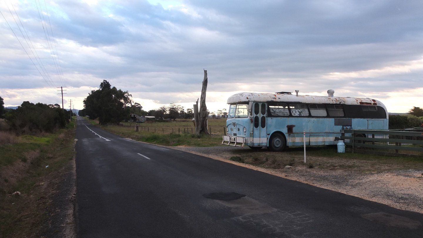
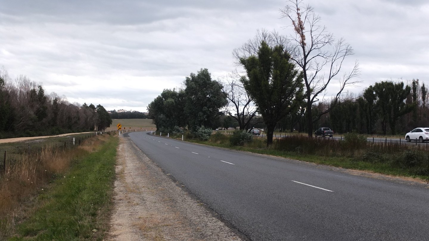
I finally quit the city and I’m riding on a quiet road again. I’d like to do minimum 90km today so I won’t have too much left.
The GPS has just indicated me to turn right which I did but a sign at the beginning of the road said “no through road” which means “I should not listen to the bloody GPS” but I want to try and this road looks nice.
Ho hooo… When I arrived the GPS said “turn right”. Well, front of me there is a canal with water. And on my left there is another canal with water so, bloody GPS, you should say “Jump above the gap AND THEN only, turn right”. ok, I’m coming back…
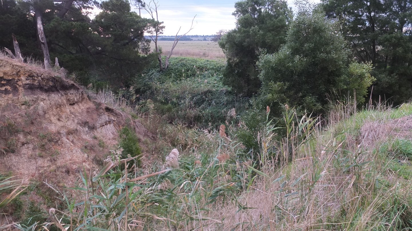
Nope, I cannot get across this ditch.
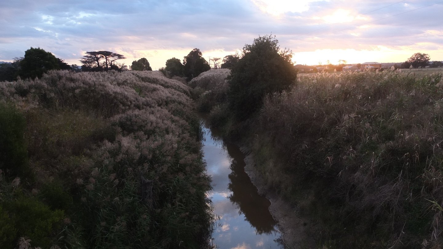
The next road was better and I can now cross that canal :-)
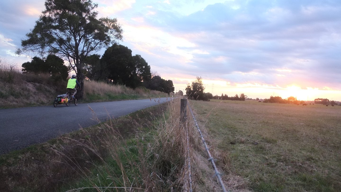
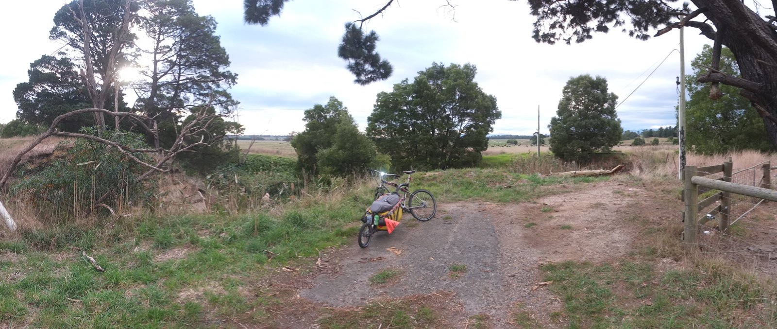
I’m very close to 100km now. The sunset is almost finished so I should find a spot in the next town. Here it’s difficult because there is a fence all along the way with properties. I will be fine like always. See you tomorrow!
You need a lots of calories, I can see with your food.
The yellow vest is great, so noticeable even from a distance !
Et en plus ils te donnent de l’argent ! Vraiment sympas ces australiens ! Lol. Et c’est quoi la bébête au milieu de la route ?